Welcome to our comprehensive collection of Argentina maps! From the vibrant rhythms of Buenos Aires to the mesmerizing landscapes of Patagonia, Argentina is a country of varied wonders. And the best way to truly understand this vast nation’s geography, history, and culture is through maps. In this collection, we’ll delve into various types of maps that offer unique perspectives on Argentina, aiding travelers, researchers, and enthusiasts alike.
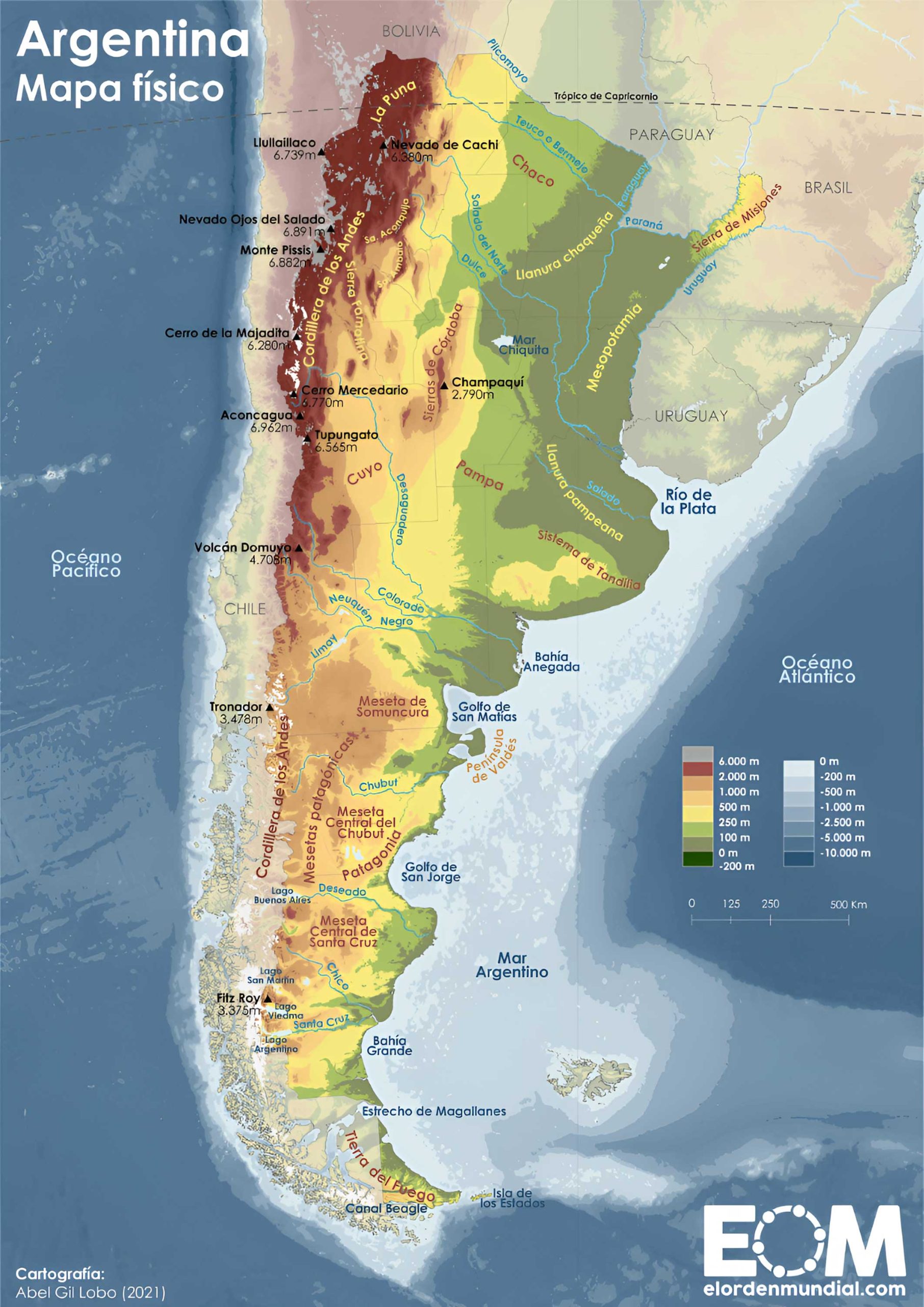
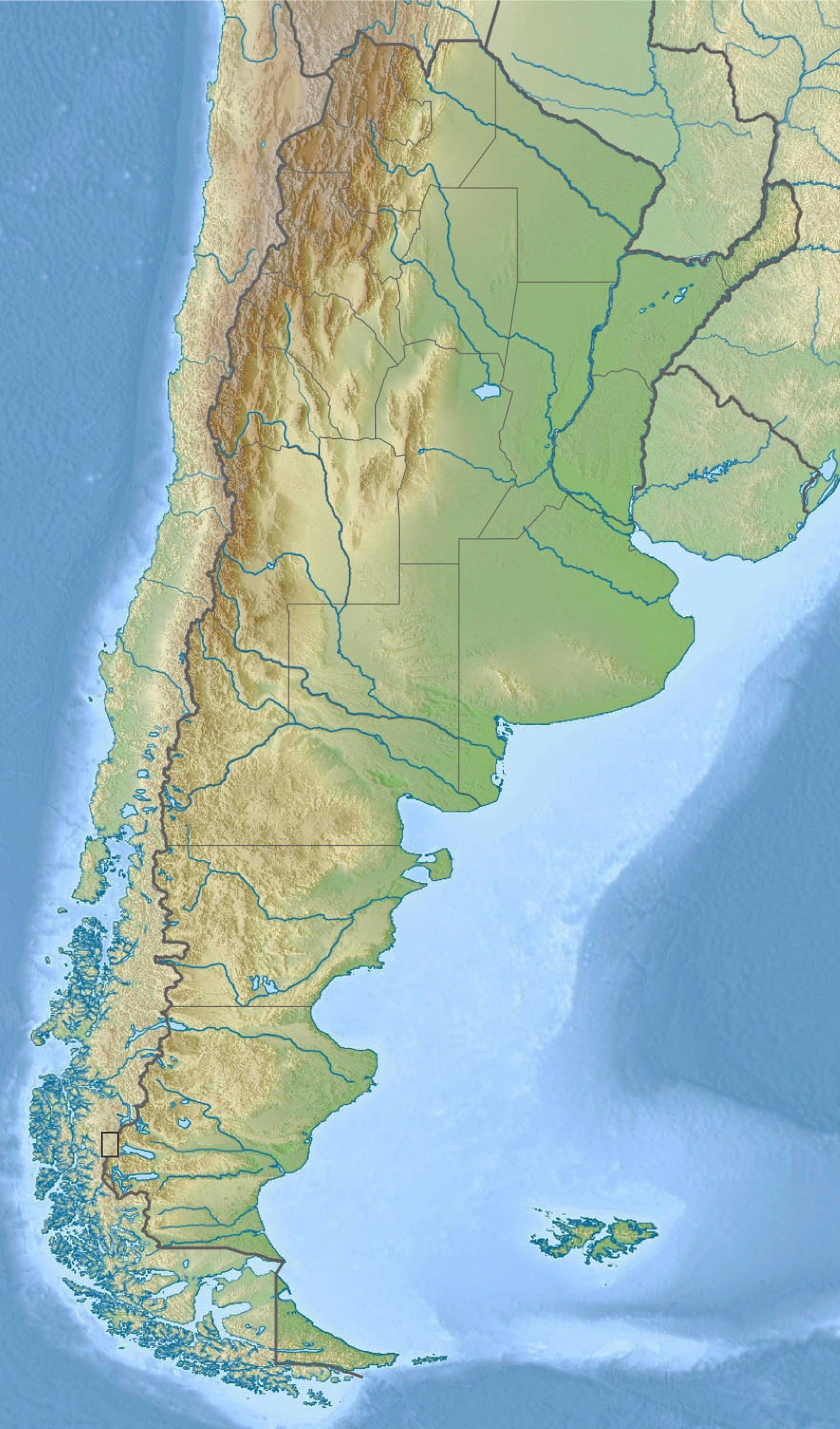
1. Argentina Physical Map
Showcases Argentina’s physical landscape, such as mountains, rivers, and plains. Perfect for understanding the natural contours of the country.
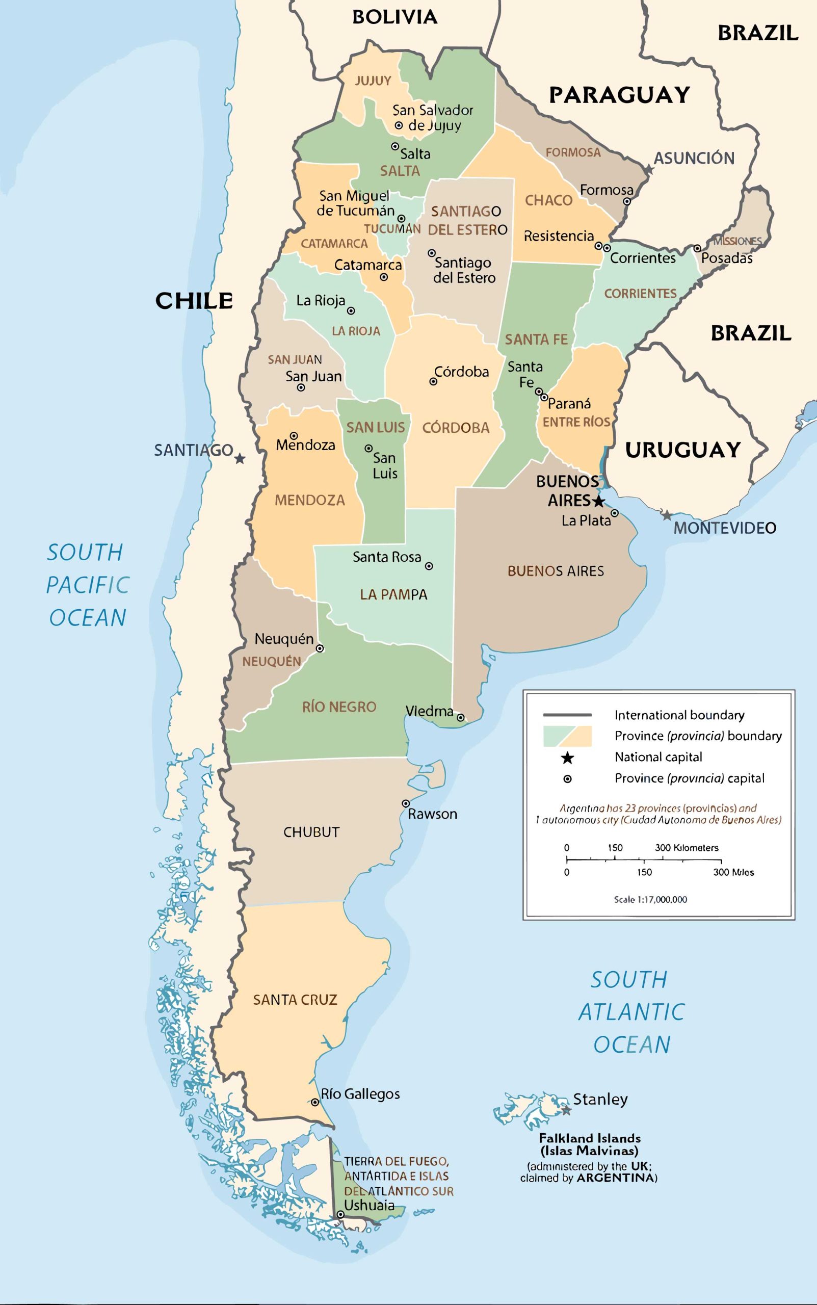
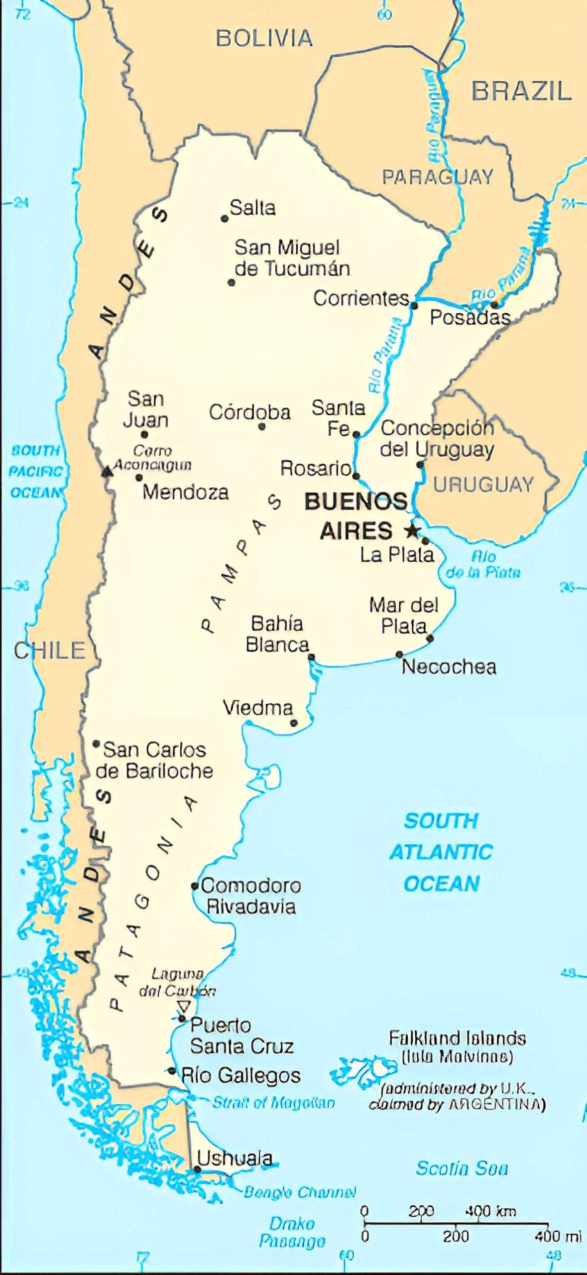
2. Argentina Political Map
Highlights boundaries between provinces and depicts the locations of major cities. It’s the go-to for a quick geopolitical overview.
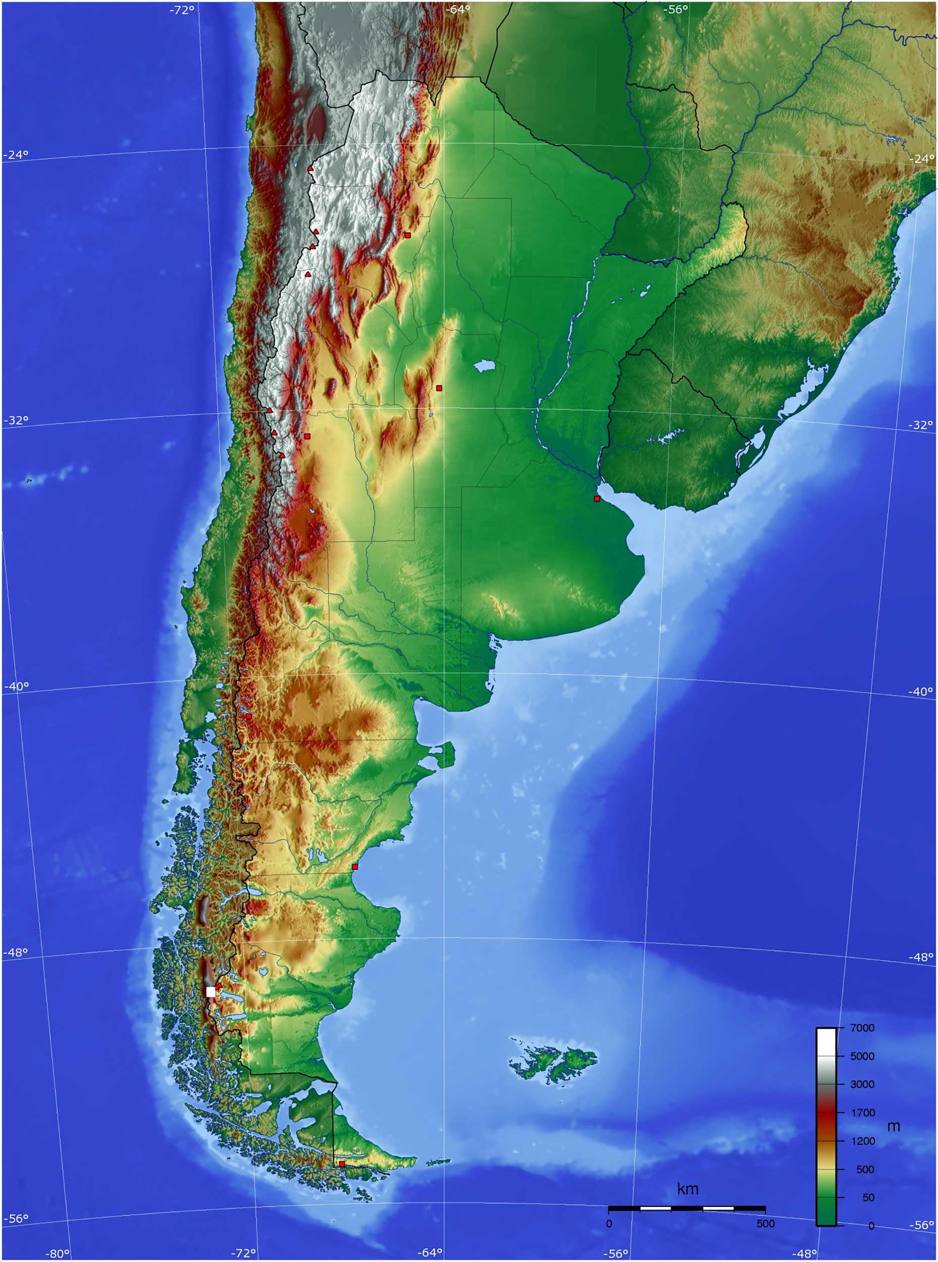
3. Argentina Topographic Map
Detailed representation of Argentina’s terrain, depicting elevation changes. Ideal for trekkers and outdoor enthusiasts.
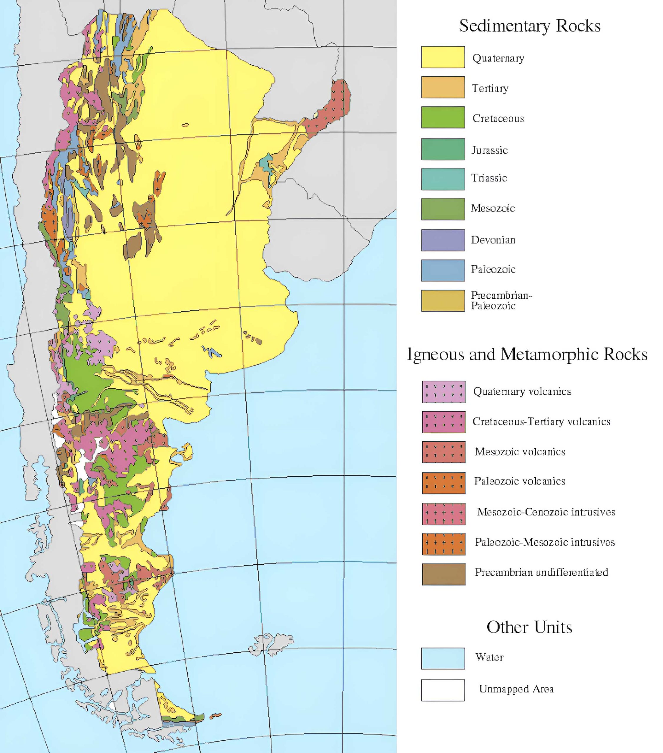
4. Argentina Geological Map
Reveals the underlying rock formations and geologic structures. A treasure for geologists and earth science buffs.
5. Argentina Cities (Urban) Map
Offers detailed views of Argentina’s urban centers, pinpointing roads, landmarks, and neighborhoods.
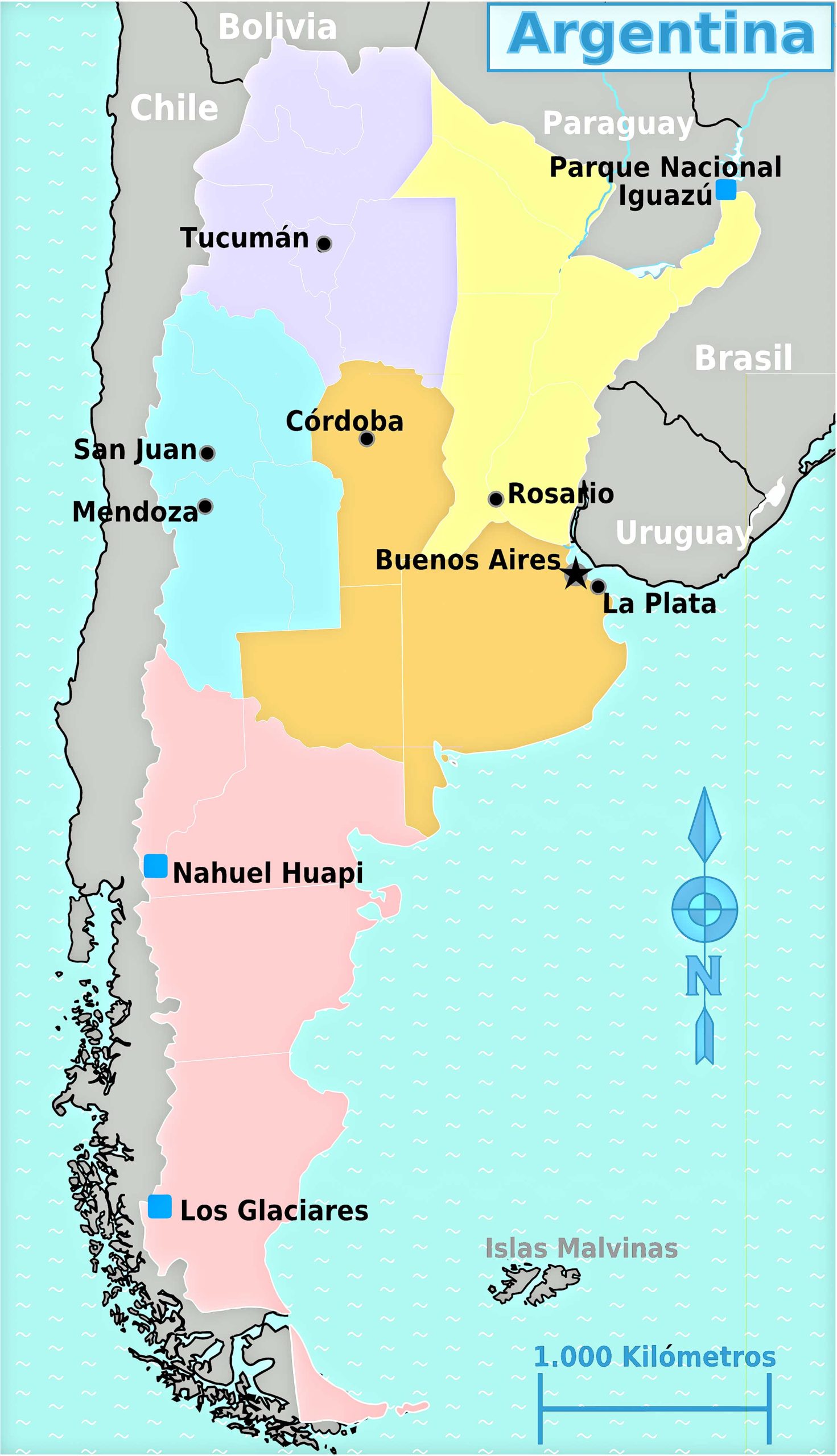
6. Argentina Regions Map
Breaks down Argentina into its distinct regions, helping readers grasp cultural and geographical divides.
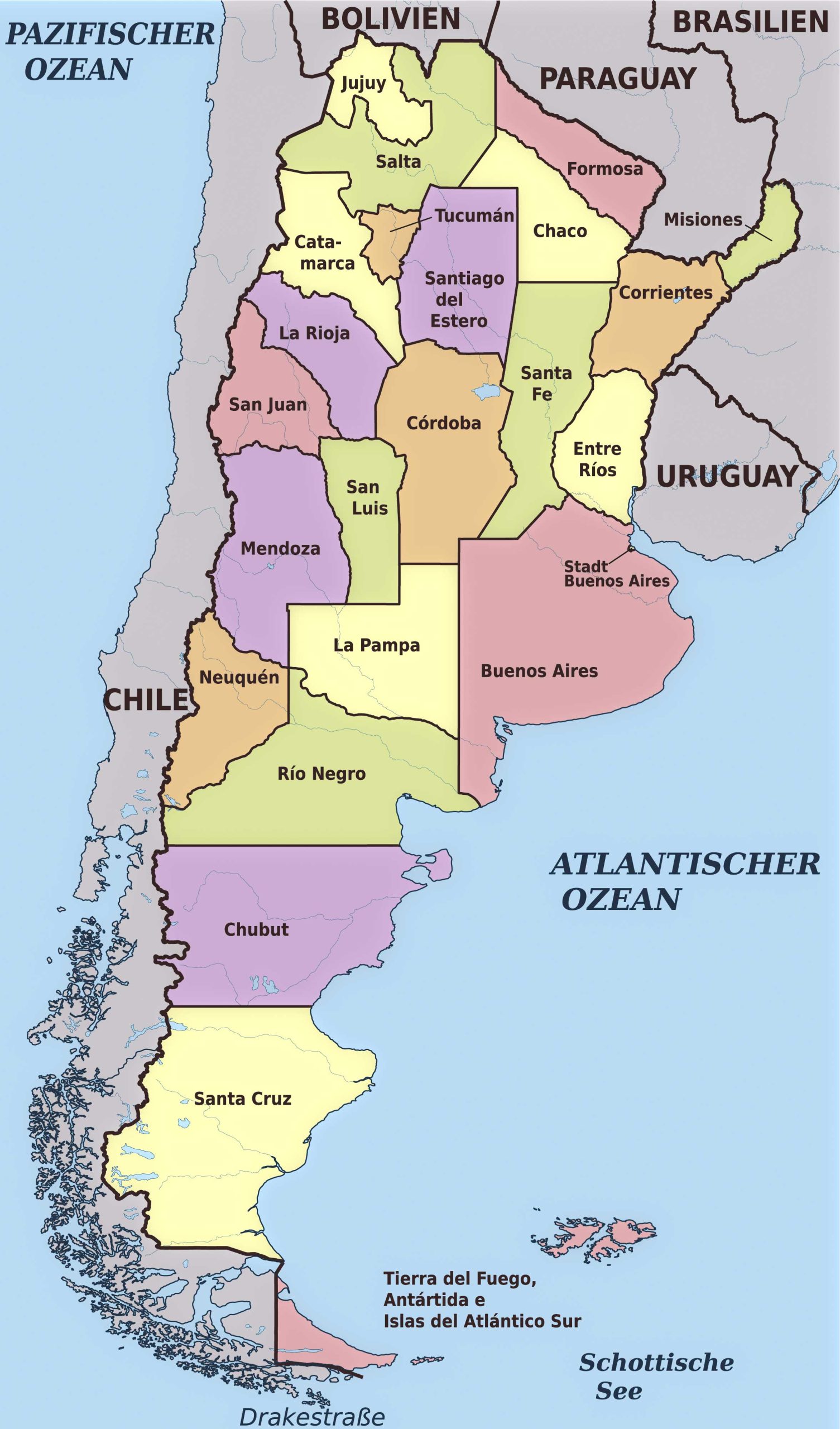
7. Argentina Administrative Divisions Map
Displays the official administrative boundaries within Argentina, from provinces to municipalities.
8. Argentina Relief Map
A three-dimensional representation of Argentina’s topography, giving a more vivid portrayal of the terrain.
9. Argentina Transit Map
Focuses on public transportation routes, aiding commuters and visitors in navigating the urban sprawl.
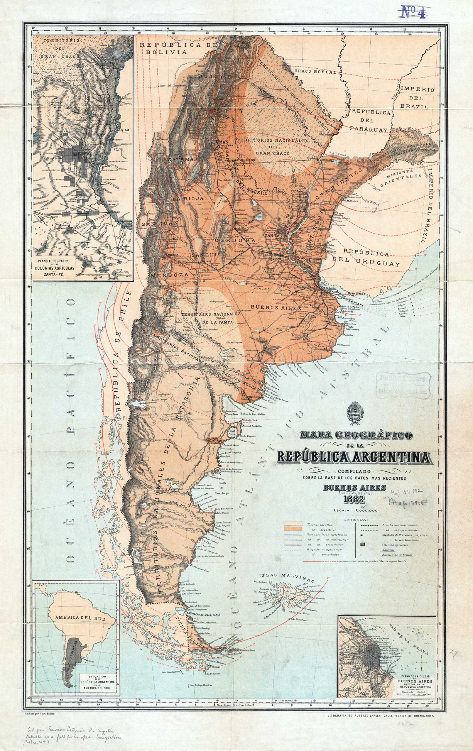
10. Argentina Historical Map (Francisco Latzina – 1882)
Journey through time with maps from Argentina’s past, highlighting how the nation has evolved.
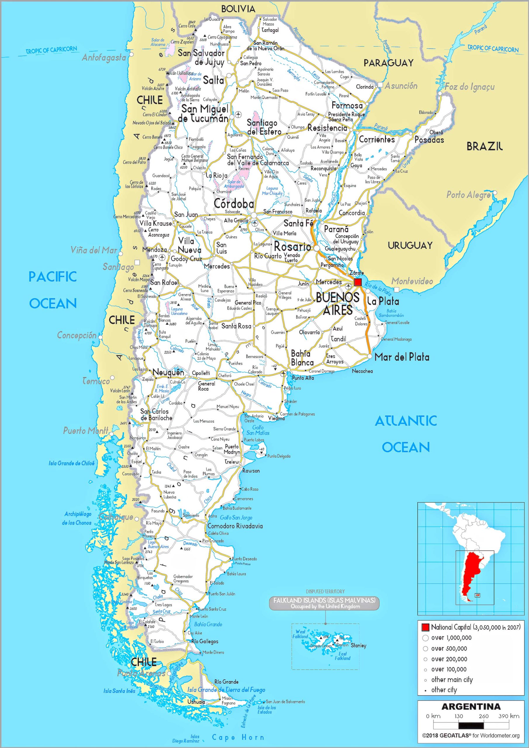
11. Argentina Road Map
A traveler’s best friend, detailing highways, secondary roads, and other significant routes.
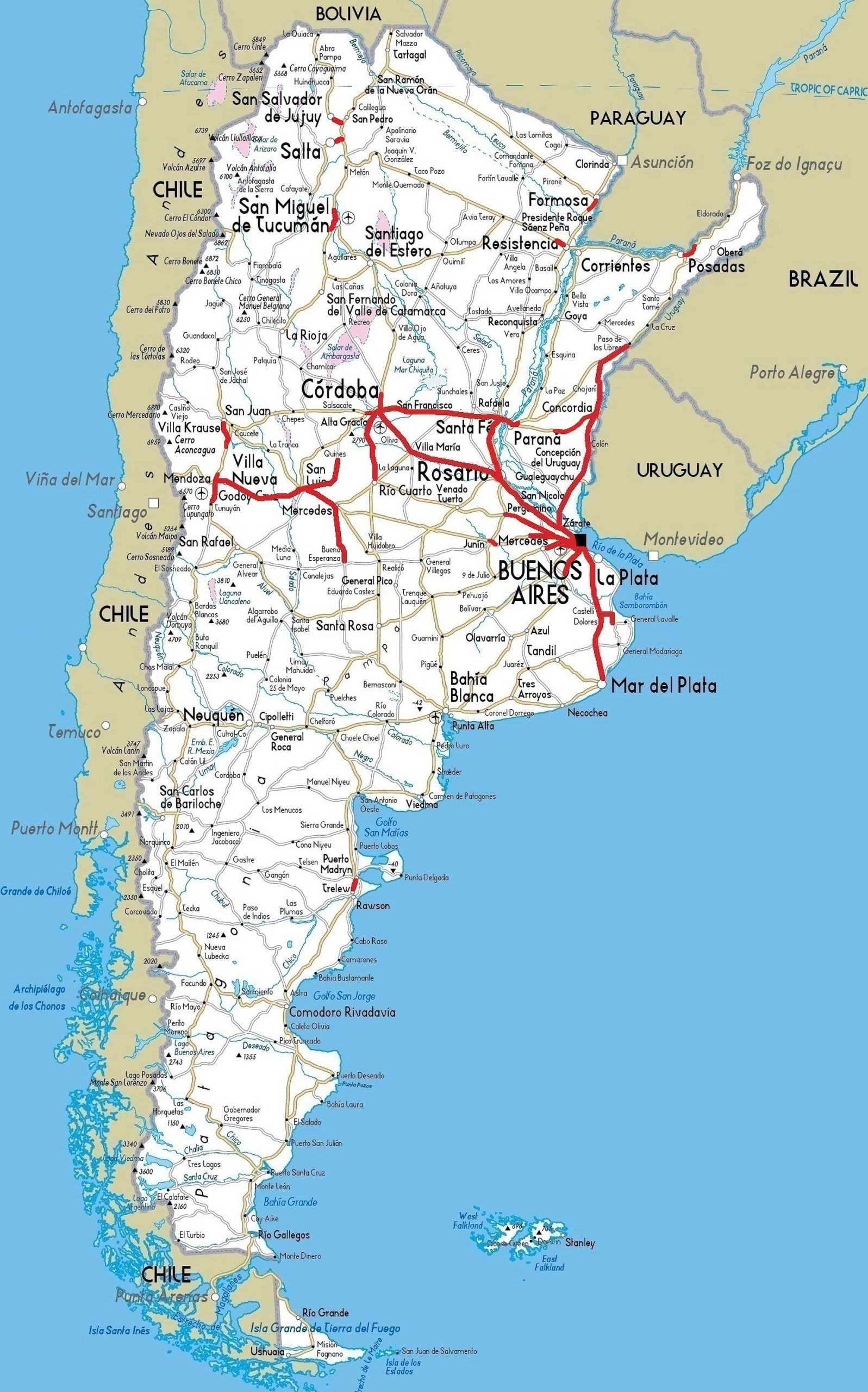
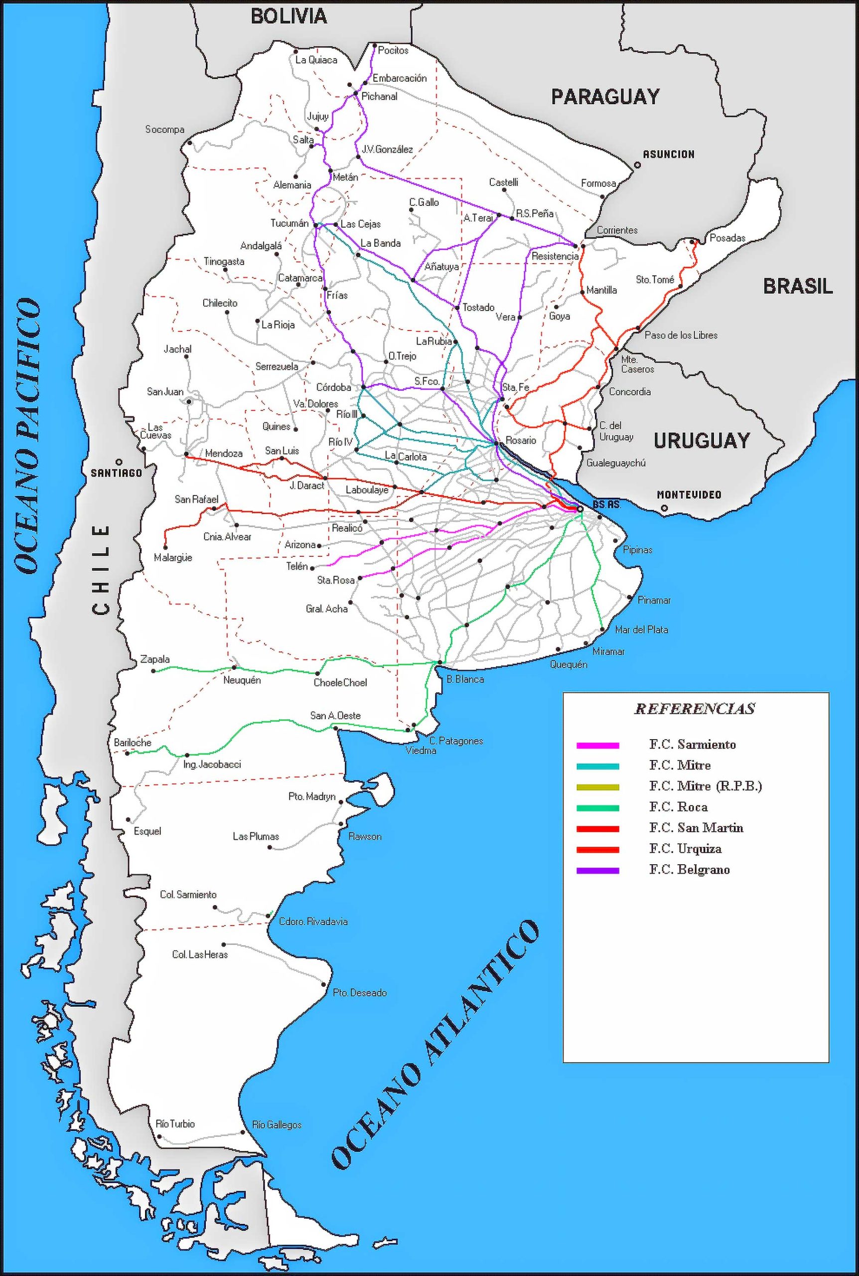
12. Argentina Train-Railway Map
An essential guide for rail travelers, spotlighting Argentina’s rail network and stations.
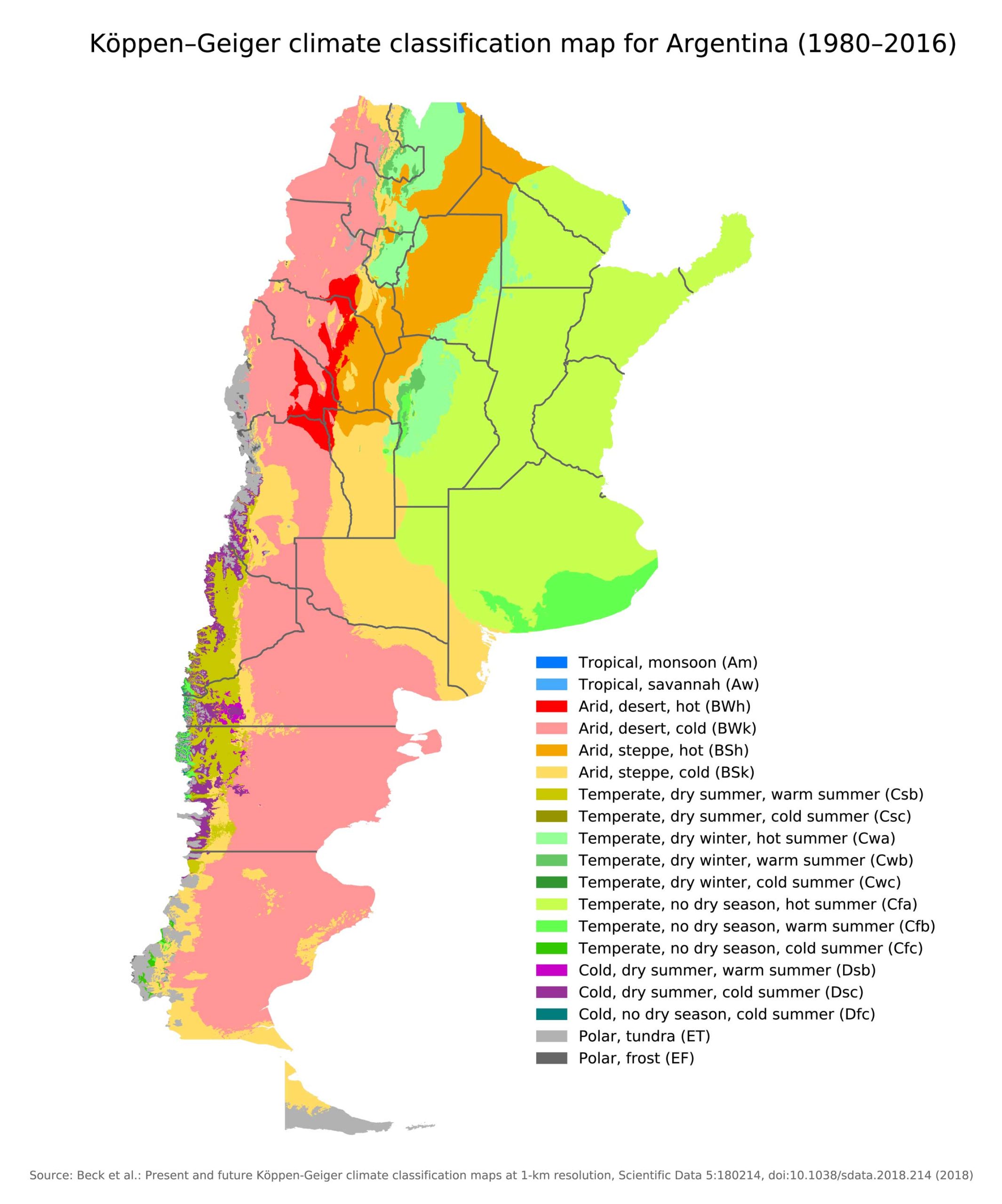
13. Argentina Climatic Map
Provides insights into Argentina’s diverse climate zones. Great for planning travel or understanding regional weather patterns.
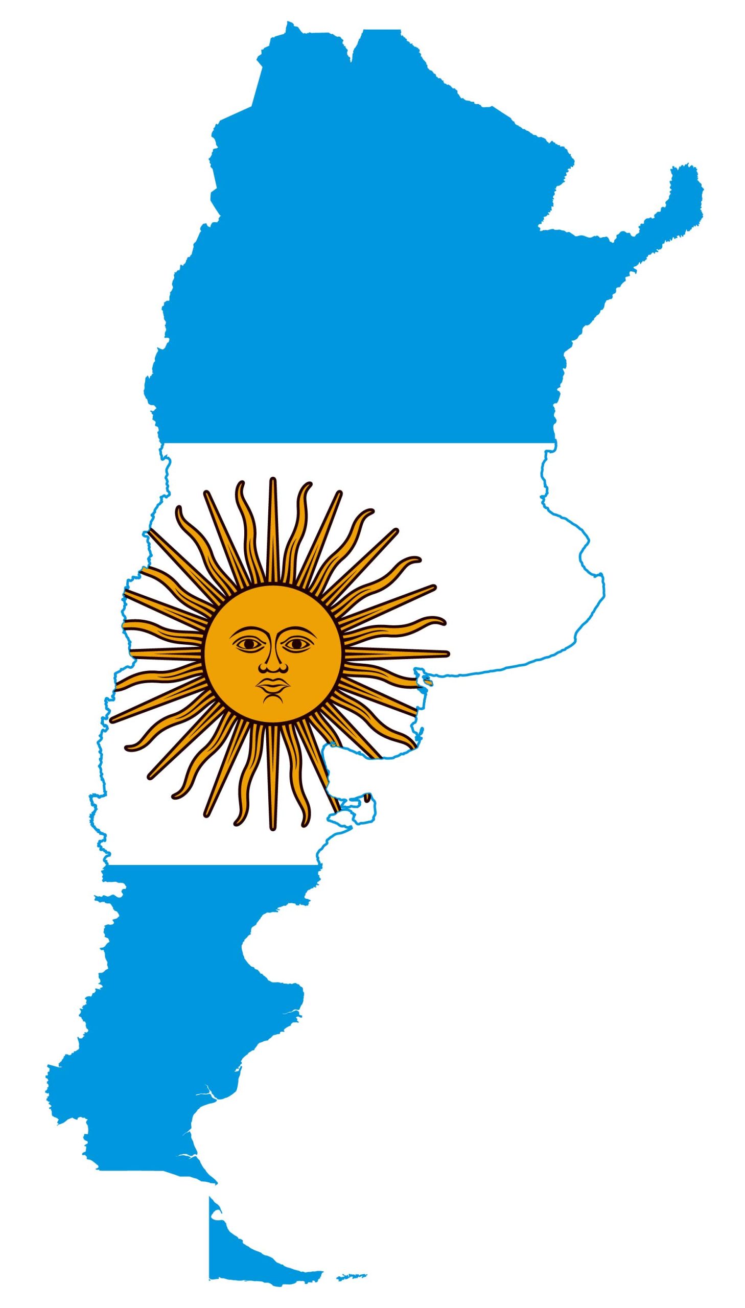
14. Argentina Flag Map
A creative blend of Argentina’s national flag and its geographic borders, fostering national pride.
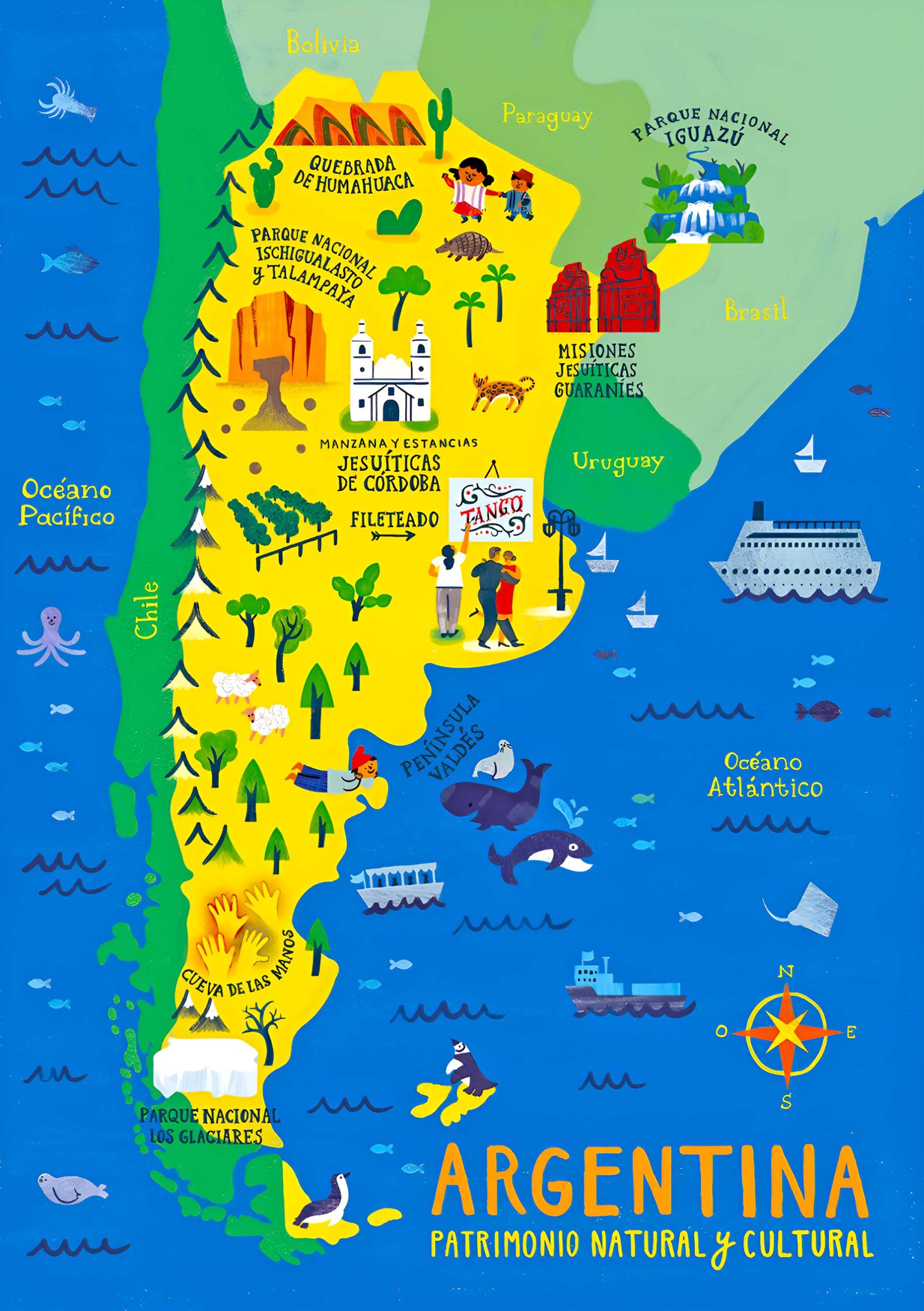
15. Argentina Travel-Tourist Map
Tailored for tourists, showcasing points of interest, accommodations, and attractions.
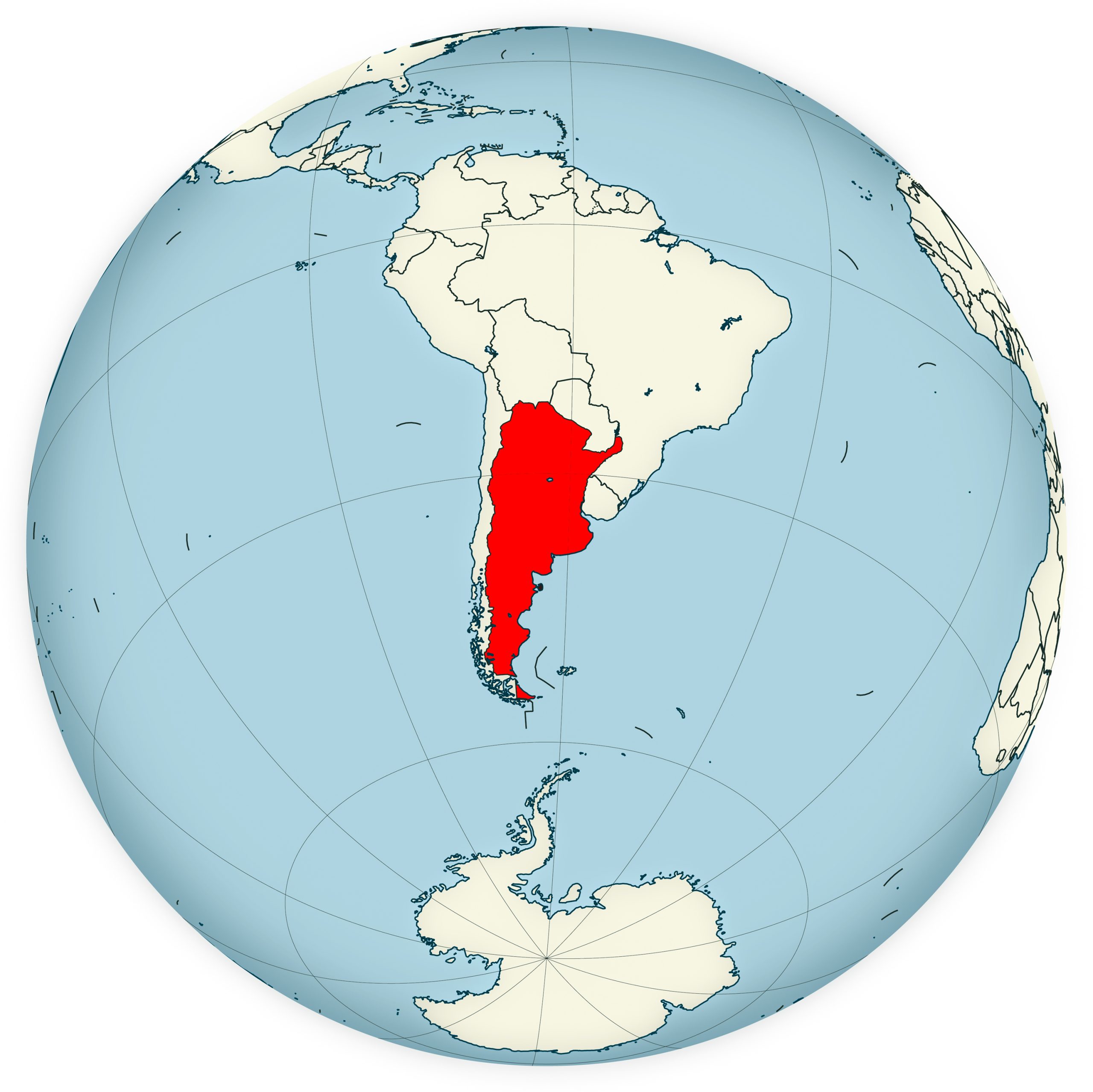
16. Map of Argentina’s Location in the World Map
Understand Argentina’s global position with a juxtaposition of its boundaries within the global context.
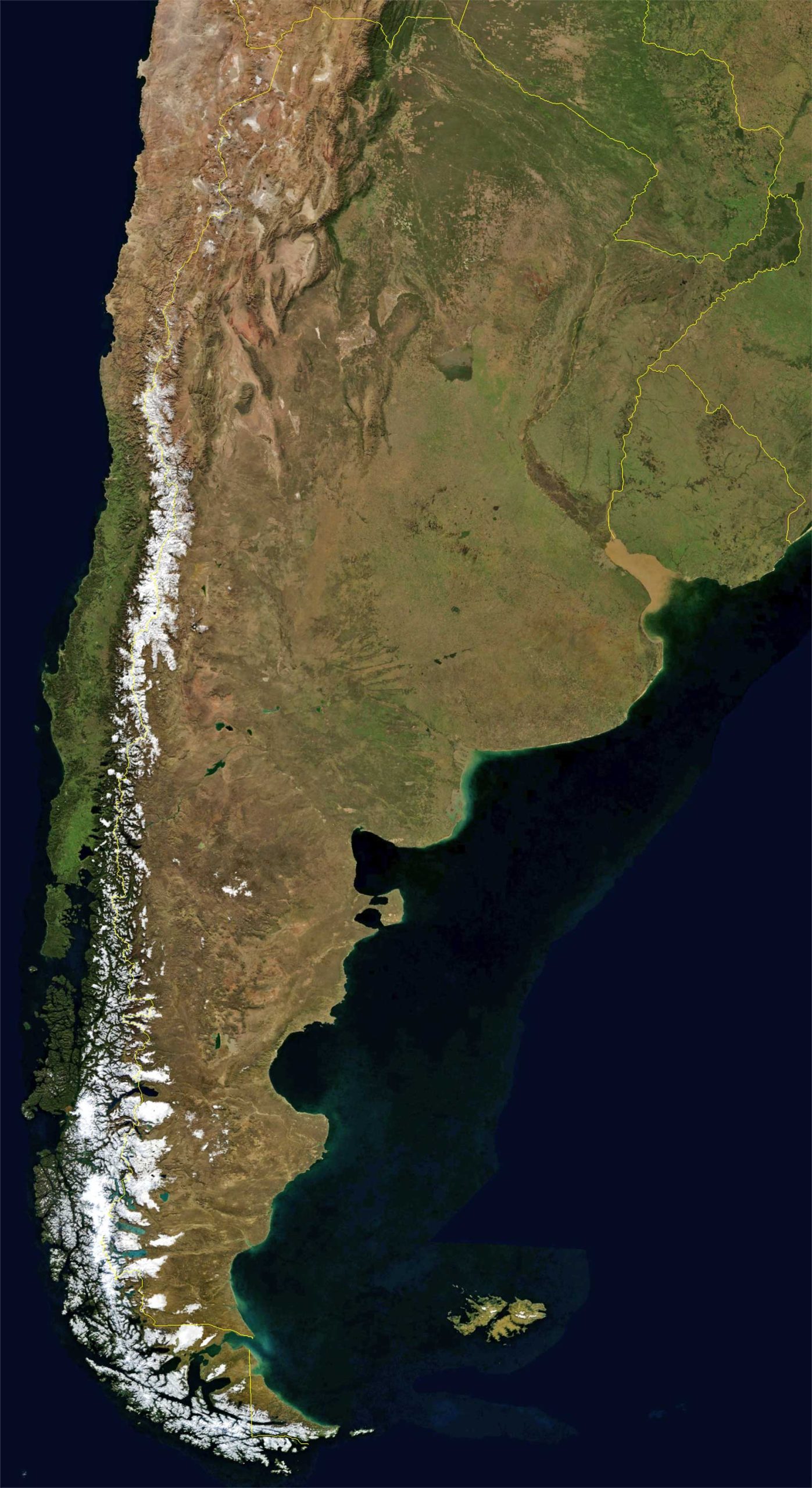
17. Argentina Earth Satellite Map
A captivating view from space, offering a unique perspective of Argentina’s landforms.
In conclusion, maps are more than just pieces of paper or digital displays; they are tools that unlock understanding. Through these various maps, one can grasp the multi-faceted dimensions of Argentina, from its impressive terrains to its intricate transit networks. So, whether you’re planning a trip to this beautiful nation or just keen on enhancing your knowledge, this collection of Argentina maps is your ideal companion. Dive in, explore, and let Argentina’s cartographic tales unfold.
Where is Argentina on the South America Map?
Show Google map, satellite map, where is the country located.
Get directions by driving, walking, bicycling, public transportation and travel with street view.
Feel free to explore these pages as well:
- Argentina Map ↗️
- Argentina Map ↗️
- Map of Argentina ↗️
- A Collection of Argentina Maps ↗️
- Argentina Photos ↗️
- A Collection of Argentina Maps ↗️
- Argentina Travel Guide ↗️
- South America Map ↗️
- Guadeloupe Map ↗️

