- Advertisement -
Discover the Brazil time zone map with four official time zones from UTC−5 to UTC−2. Learn which regions use Brasília Time (UTC−3) and how local time varies across the country.
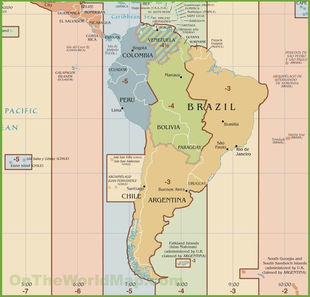
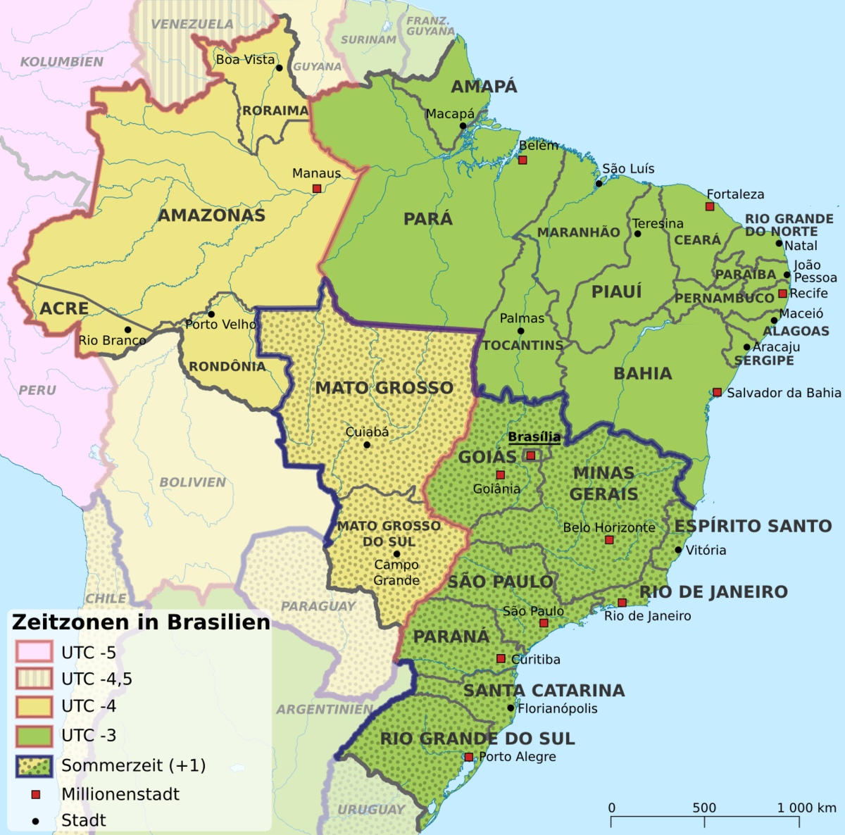
A Brazil time zone map shows that the country spans four official time zones, ranging from UTC−5 to UTC−2. Most of Brazil, including major cities like São Paulo, Rio de Janeiro, and Brasília, follows Brasília Time (BRT, UTC−3). Western states use UTC−4 or UTC−5, while some Atlantic islands operate on UTC−2.
Time zones map of Brazil with UTC
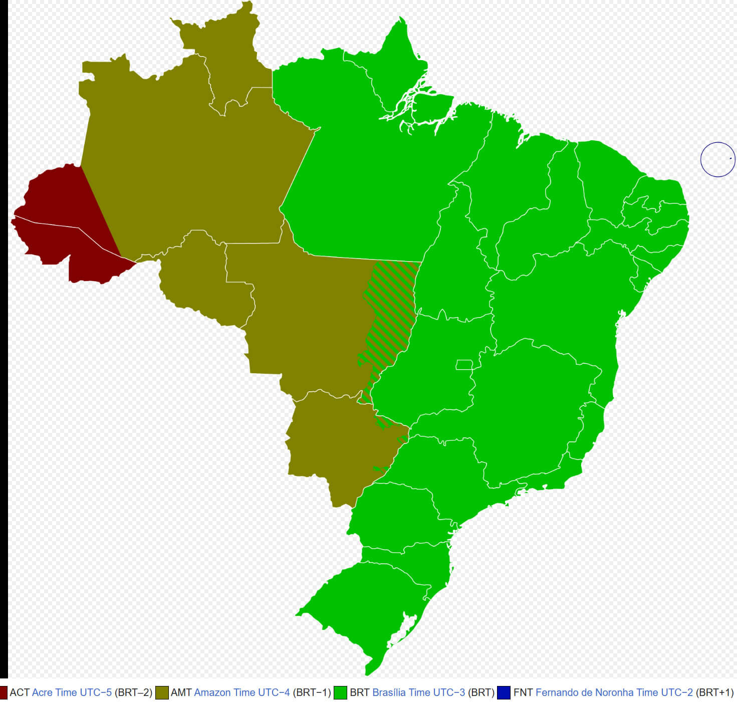
Brazil Time Zones UTC Map with South America Overview
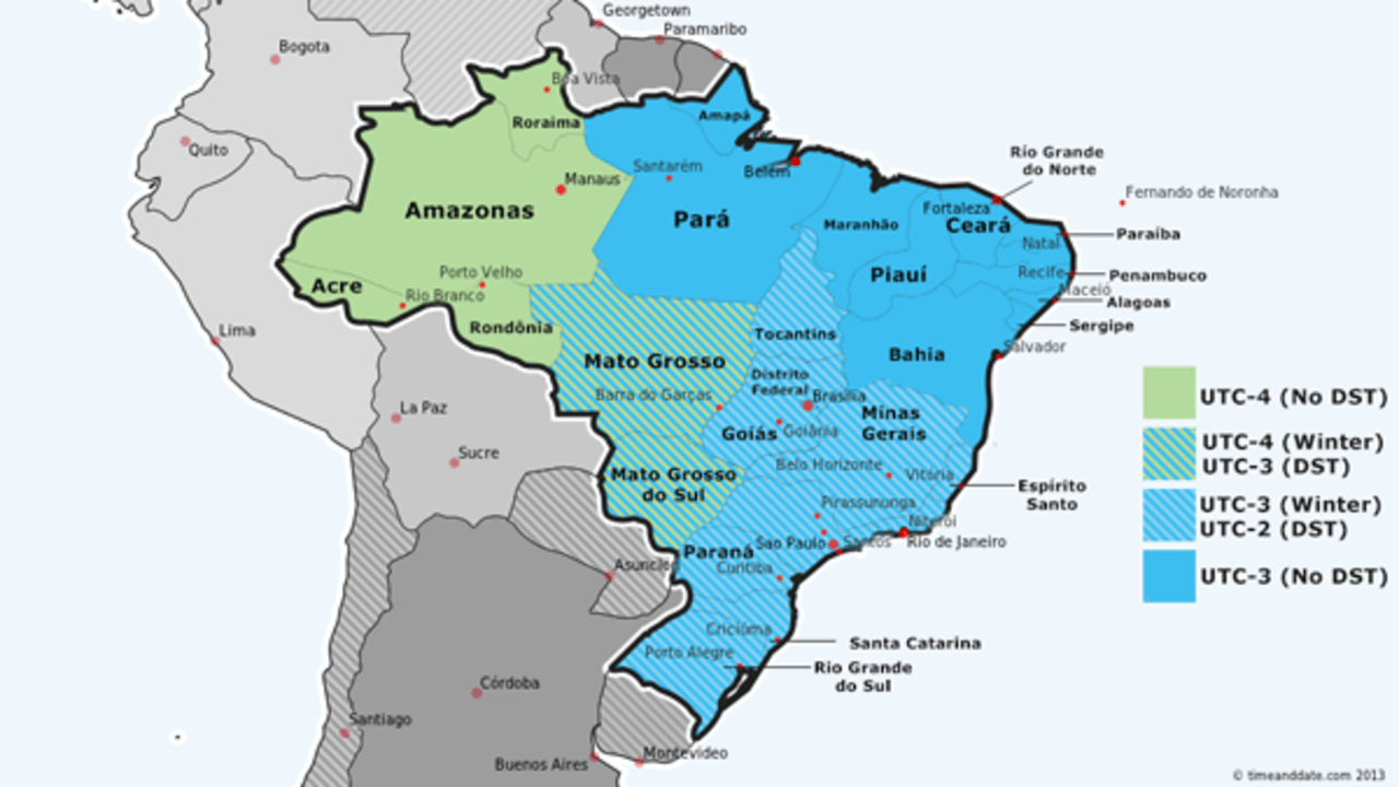 Brazil time zones UTC map with South America regions.
Population living time zones in Brazil
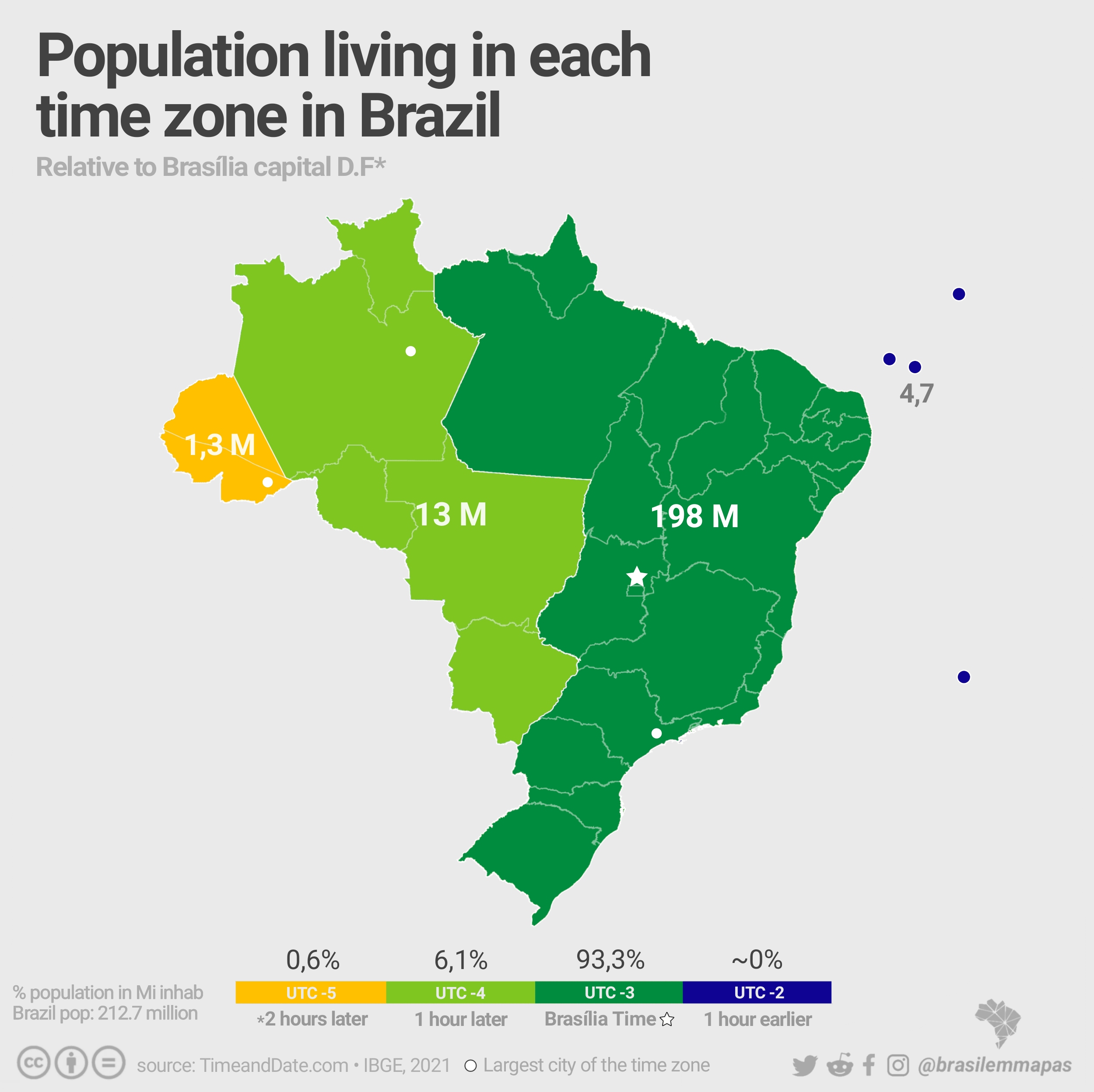
Brazil Argentina and Chile time zones map
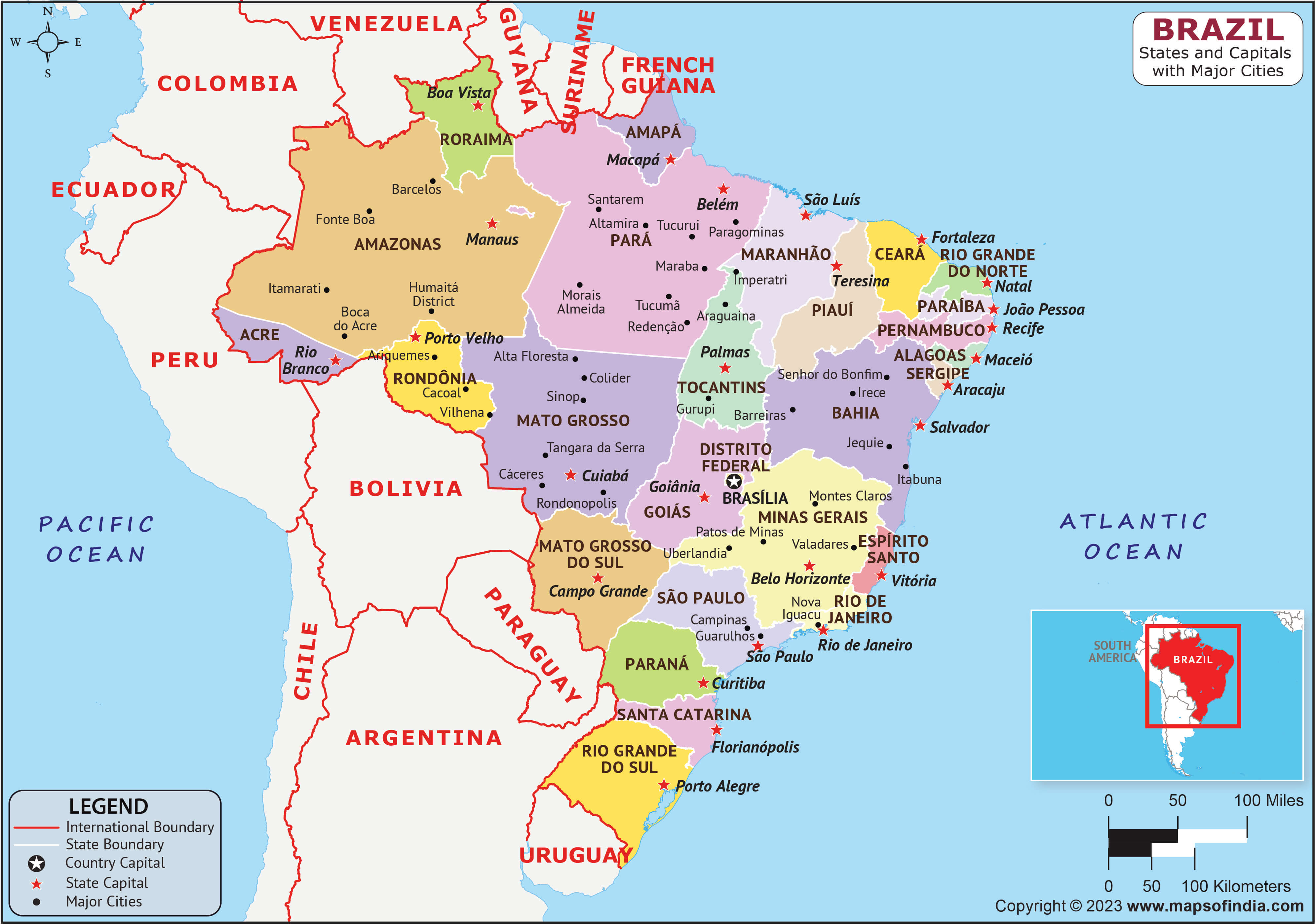
Brazil states and capital map with major cities
Brazil time zone map
Brazil time zones utc
Brazil World time zone map
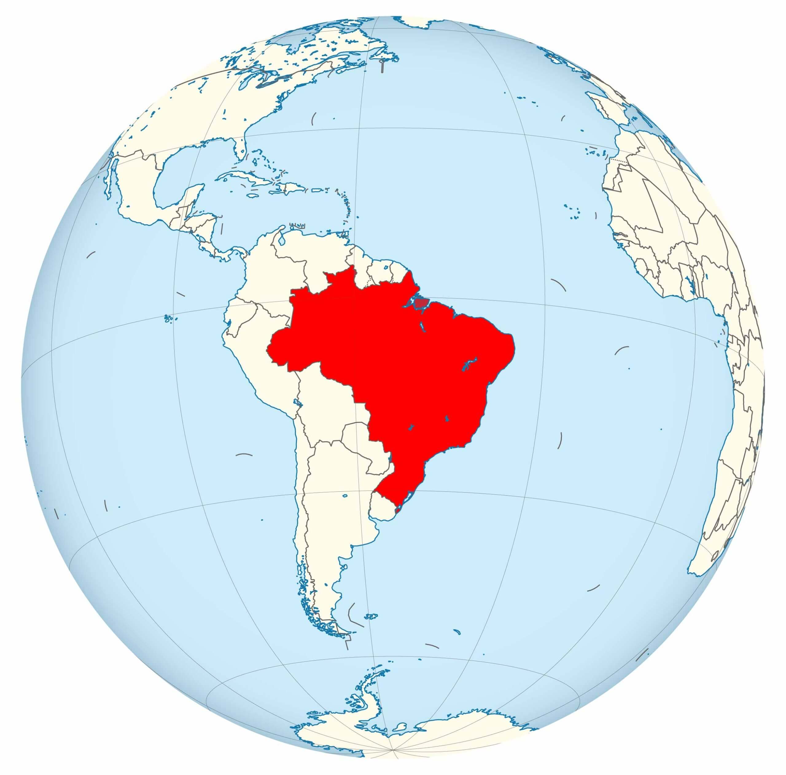
Map of Brazil location in the World map with longitude
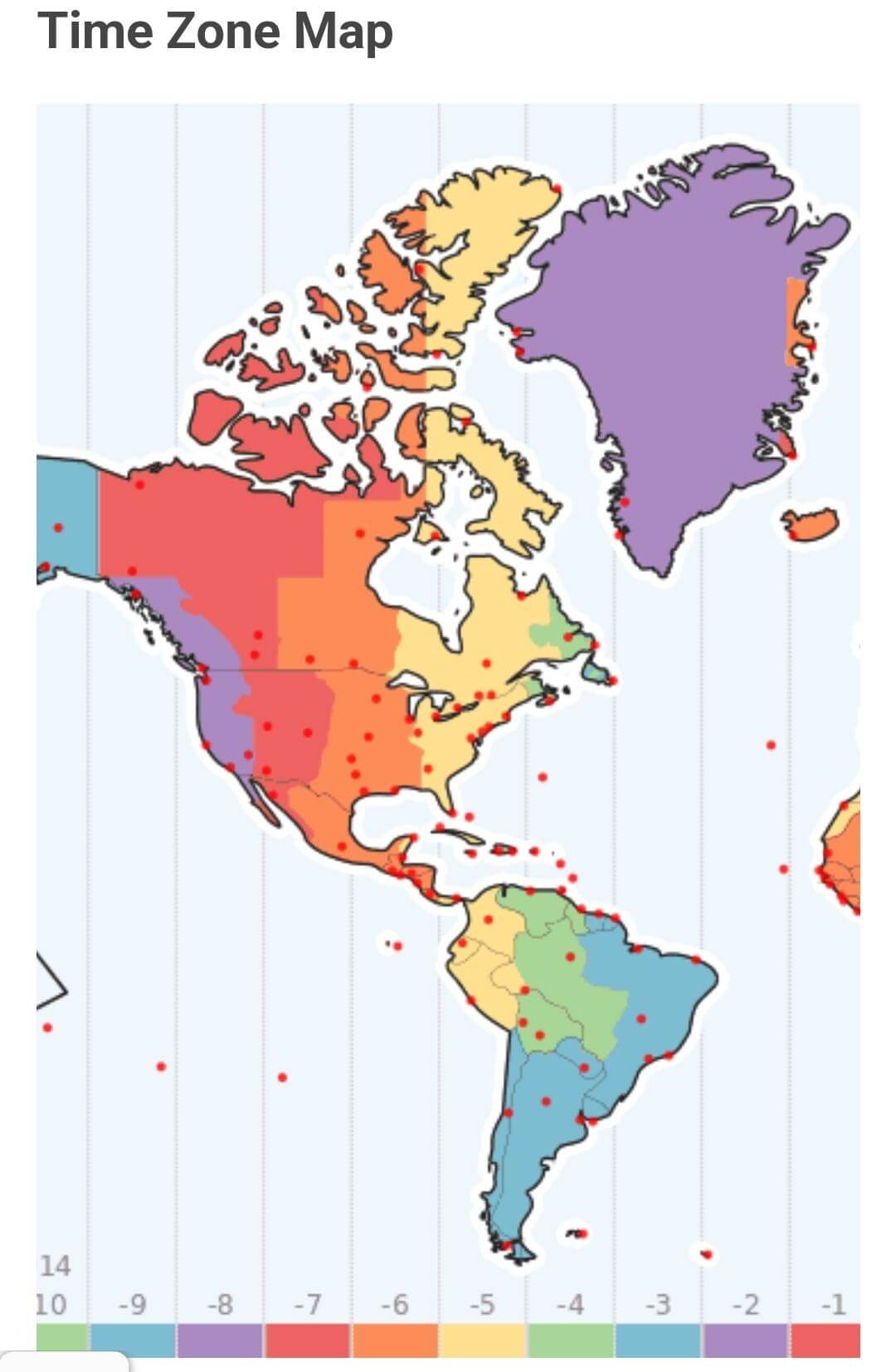
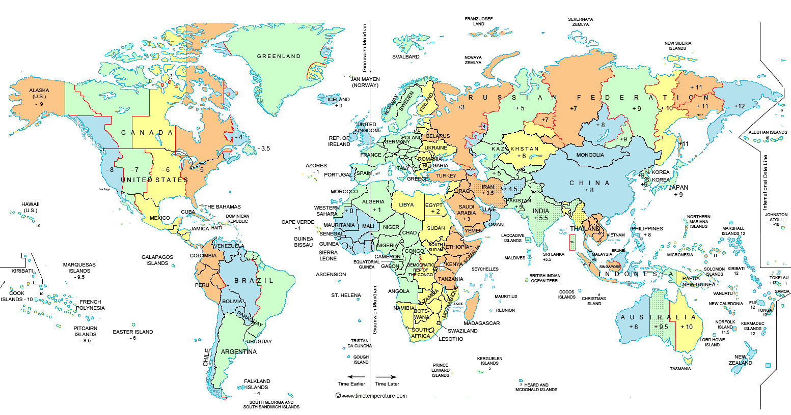
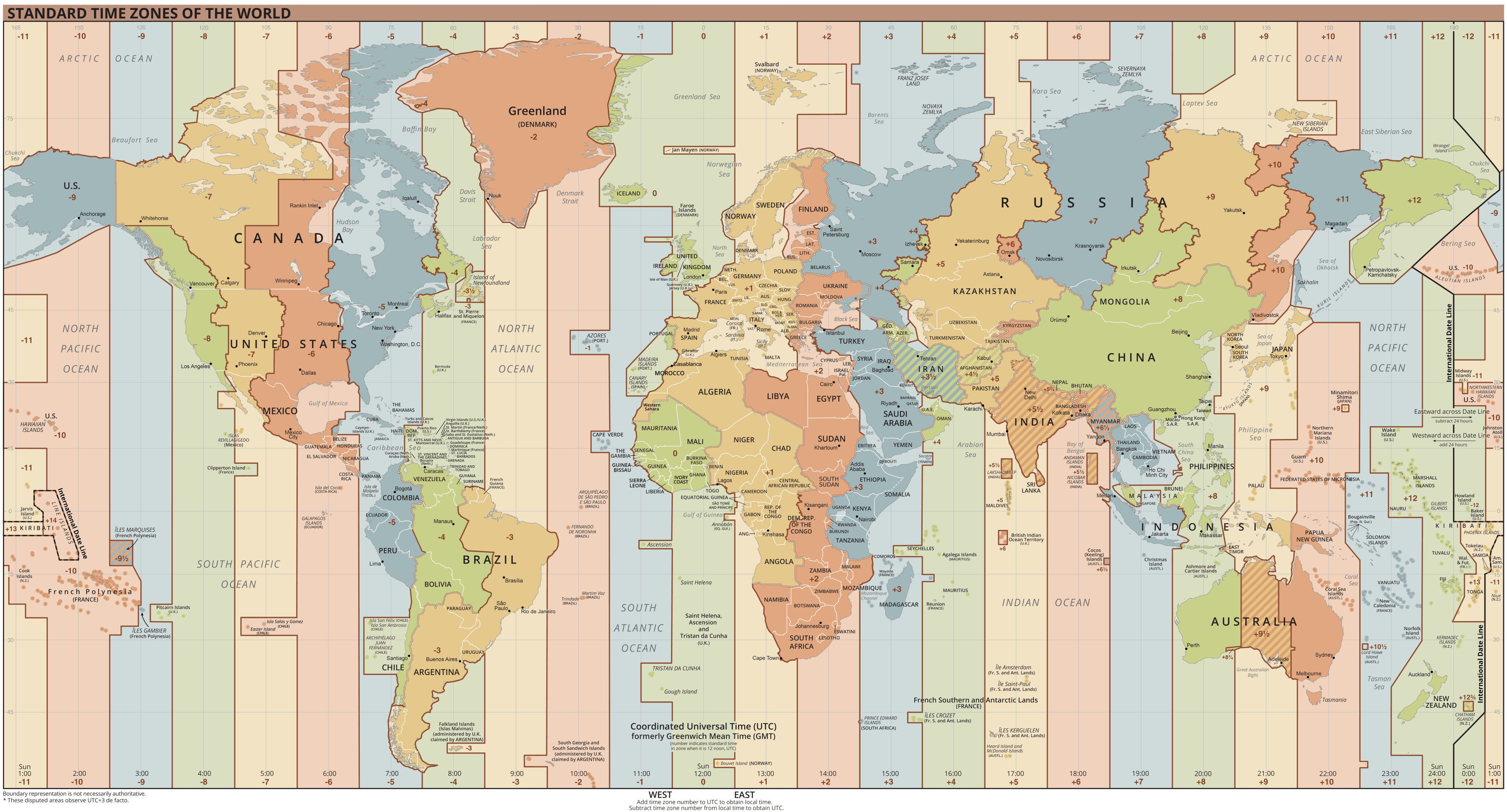
Time zone map of the World and Brazil
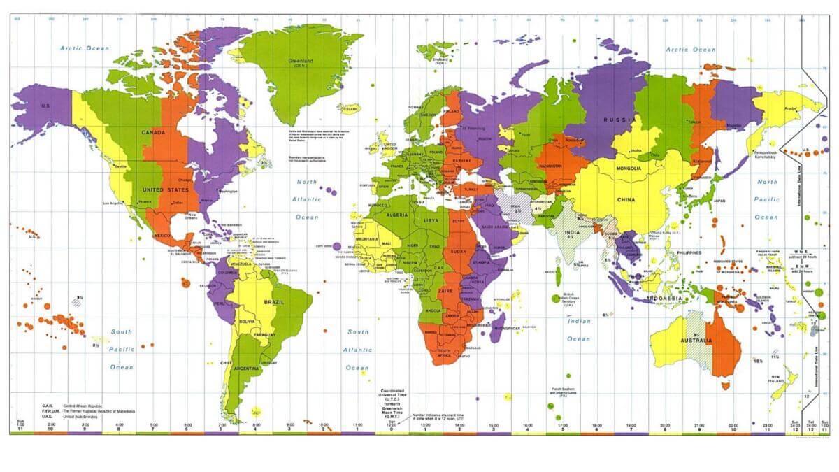
Time zones map of the World and Brazil
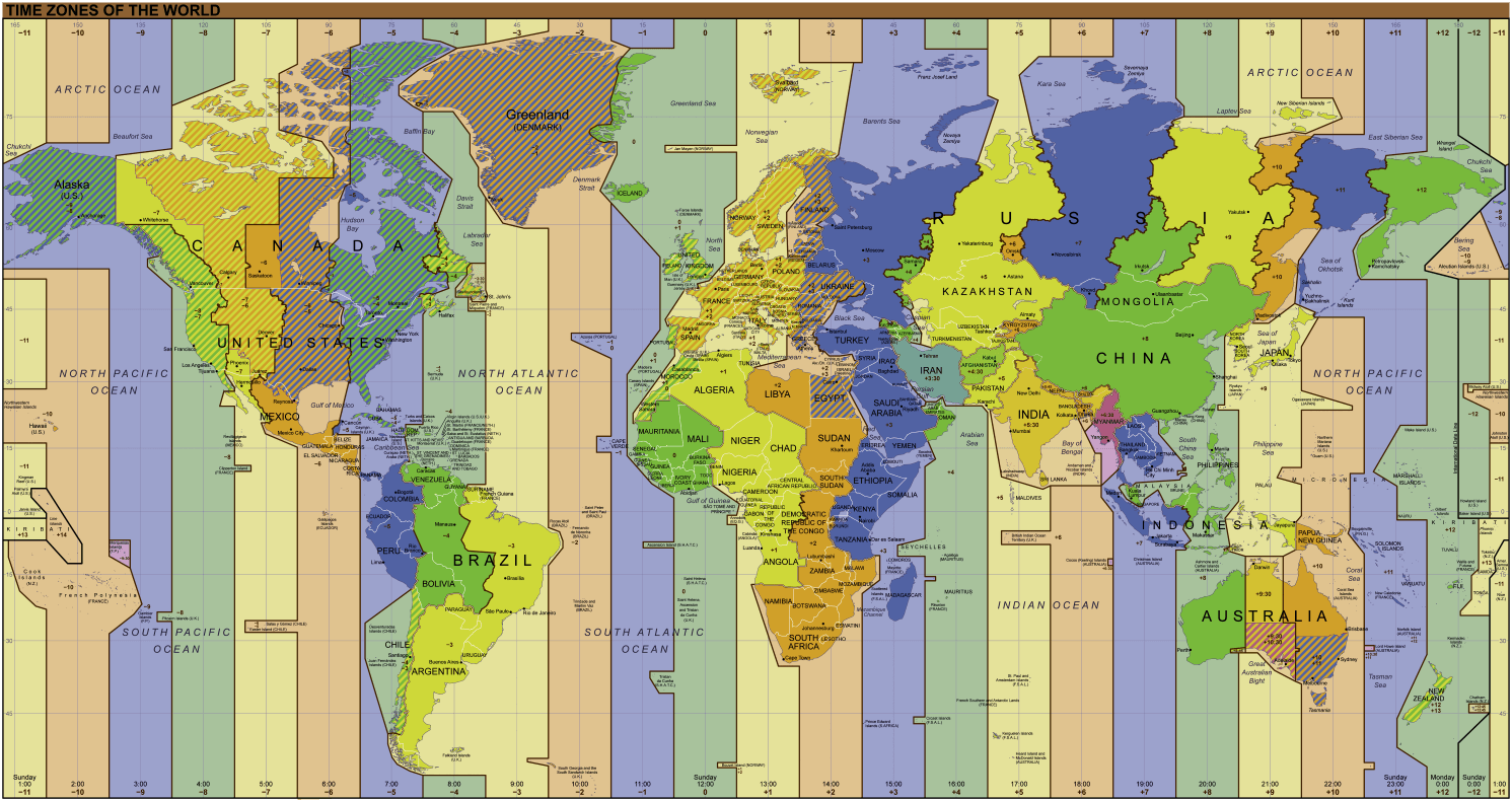
World time zones map with Brazil
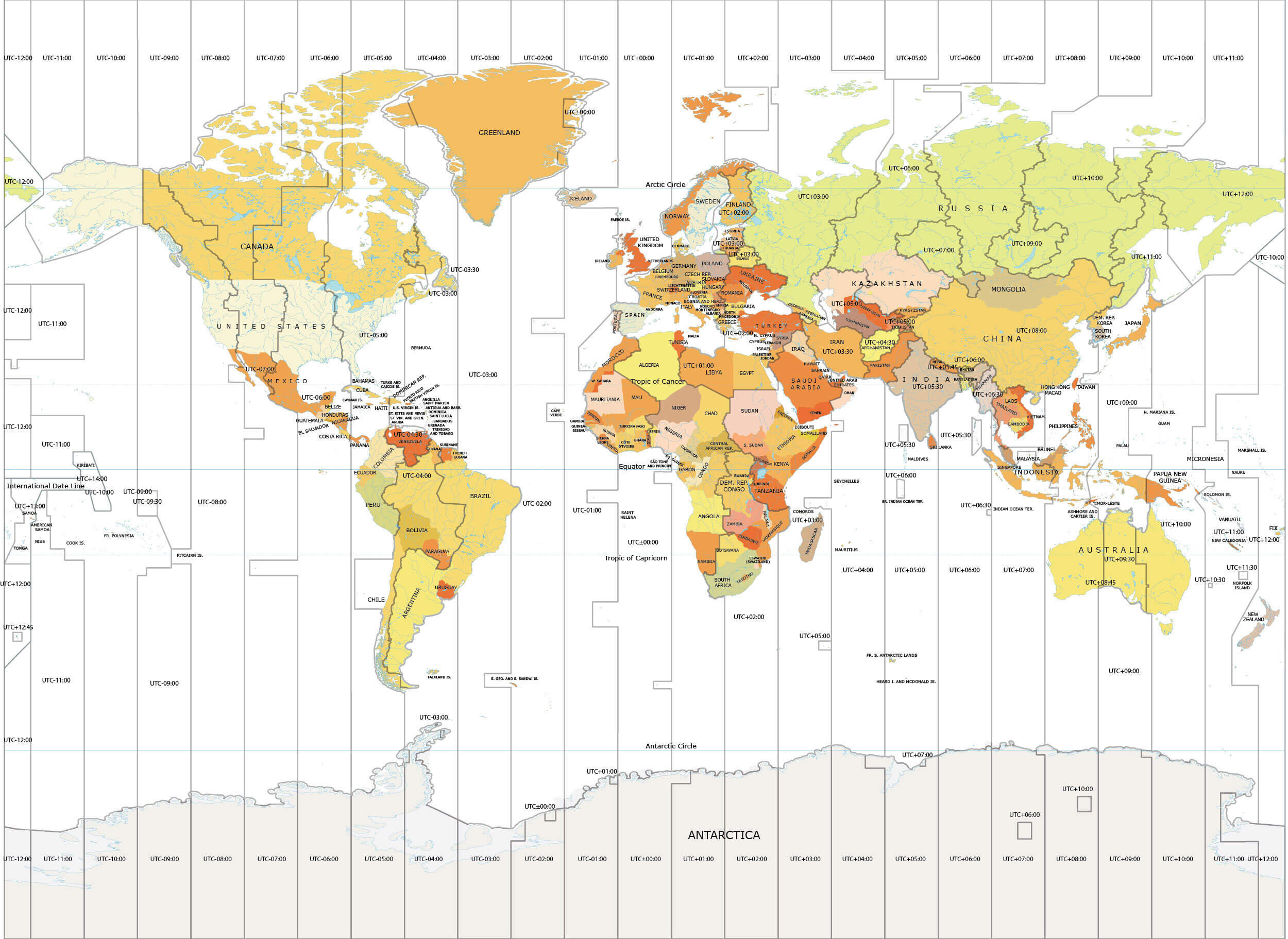
World time zones map with Brazil
Where is Brazil on the World and South America Map?
Show Google interactive map, satellite map, where is the country located.
Get directions by driving, walking, bicycling, public transportation and travel with street view.
Feel free to explore these pages as well:
- Brazil Map ↗️
- Map of Brazil ↗️
- South America Time Zone Map ↗️
- Europe Time Zone Map ↗️
- World Time Zone Map ↗️
- Europe Map ↗️
- North America Time Zone Map ↗️
- Canada Time Zone Map ↗️
- Asia Time Zone Map ↗️
- Africa Time Zone Map ↗️
- US Time Zone Map ↗️
- France Time Zone Map ↗️
- Italy Time Zone Map ↗️
- South America Map ↗️
- Map of South America ↗️
- Argentina Map ↗️
- Map of Argentina ↗️
- A Collection of Argentina Maps ↗️
- Guadeloupe Map ↗️
- Advertisement -
