Welcome to our captivating journey through the diverse and mesmerizing maps of Chile. This South American country, with its long and narrow stretch, presents a unique geographical canvas. From the arid Atacama Desert in the north to the icy glaciers of Patagonia in the south, Chile’s landscapes are as varied as they are breathtaking. In this blog, we’ll explore various map formats that depict Chile’s rich topography, political divisions, and cultural heritage. Accompanying our journey is a carefully selected video that enriches the experience, offering a more dynamic view of Chile’s cartographic diversity.
1. Chile Physical Map
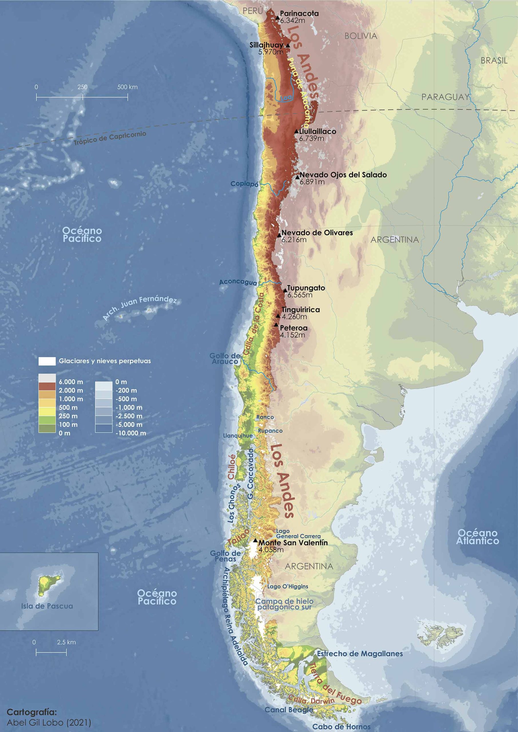
The physical map of Chile highlights the country’s natural physical landscape. You’ll see the towering Andes Mountains, vast deserts, lengthy coastlines, and expansive forests, presenting a vivid depiction of Chile’s natural terrain.
2. Chile Political Map
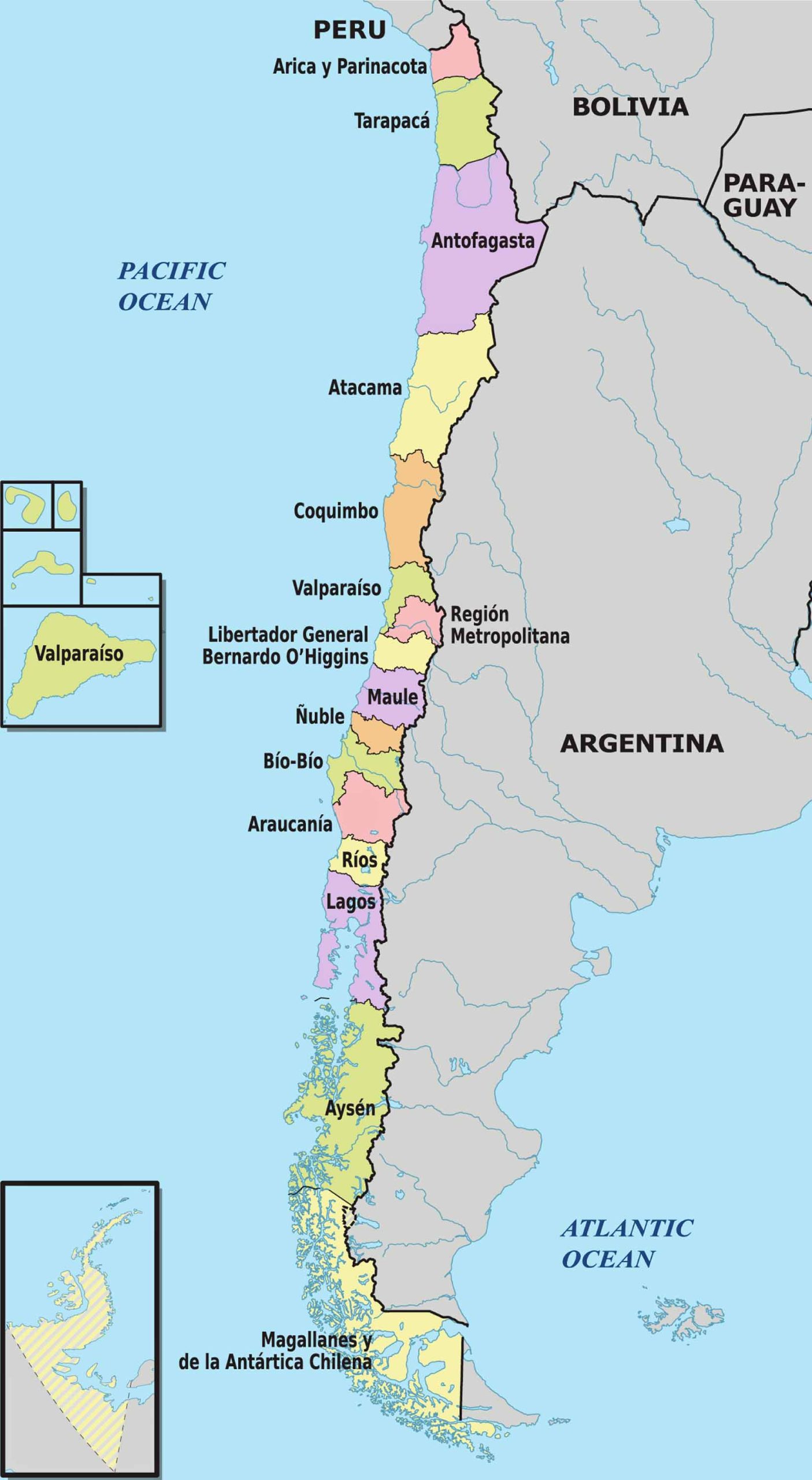
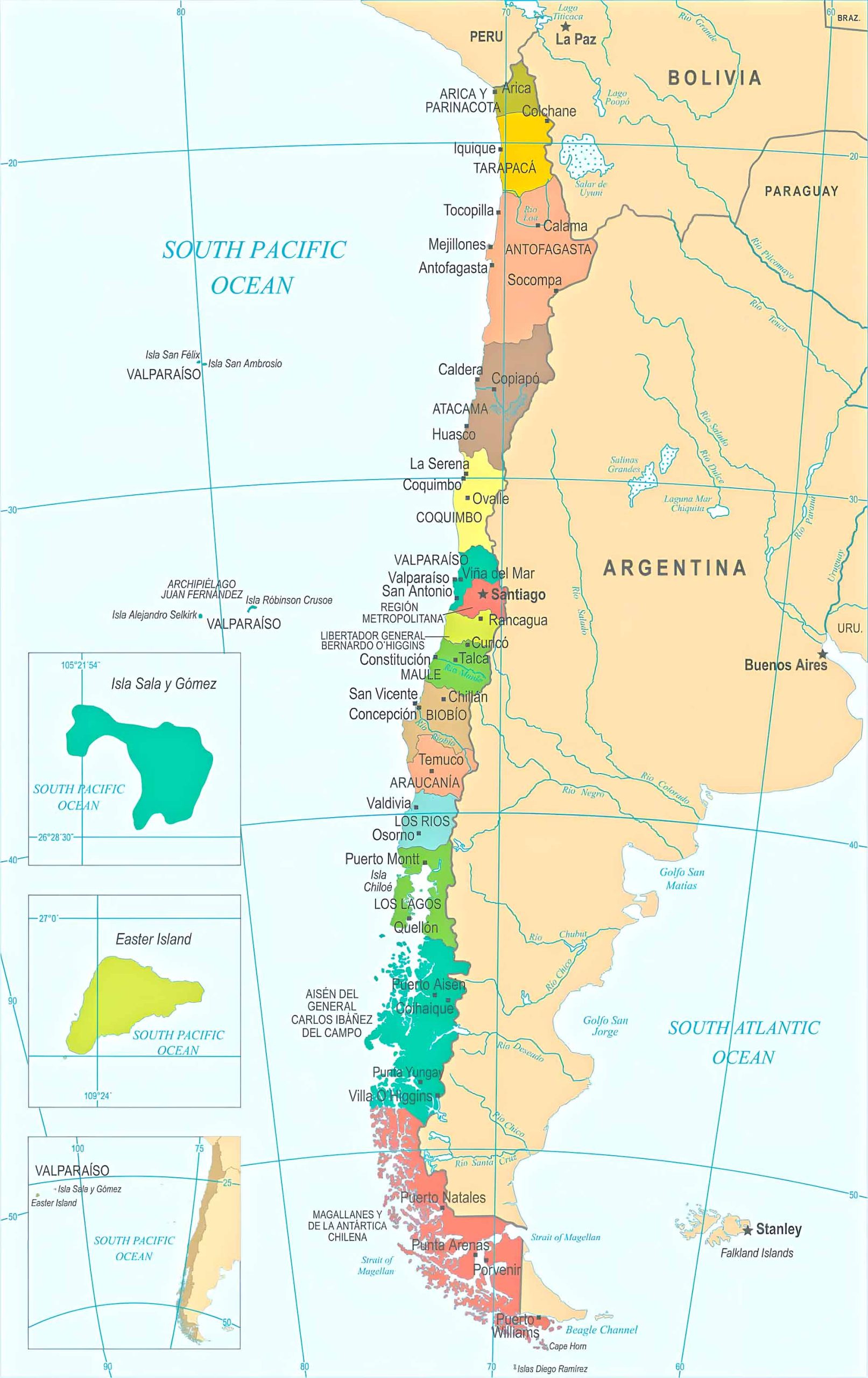
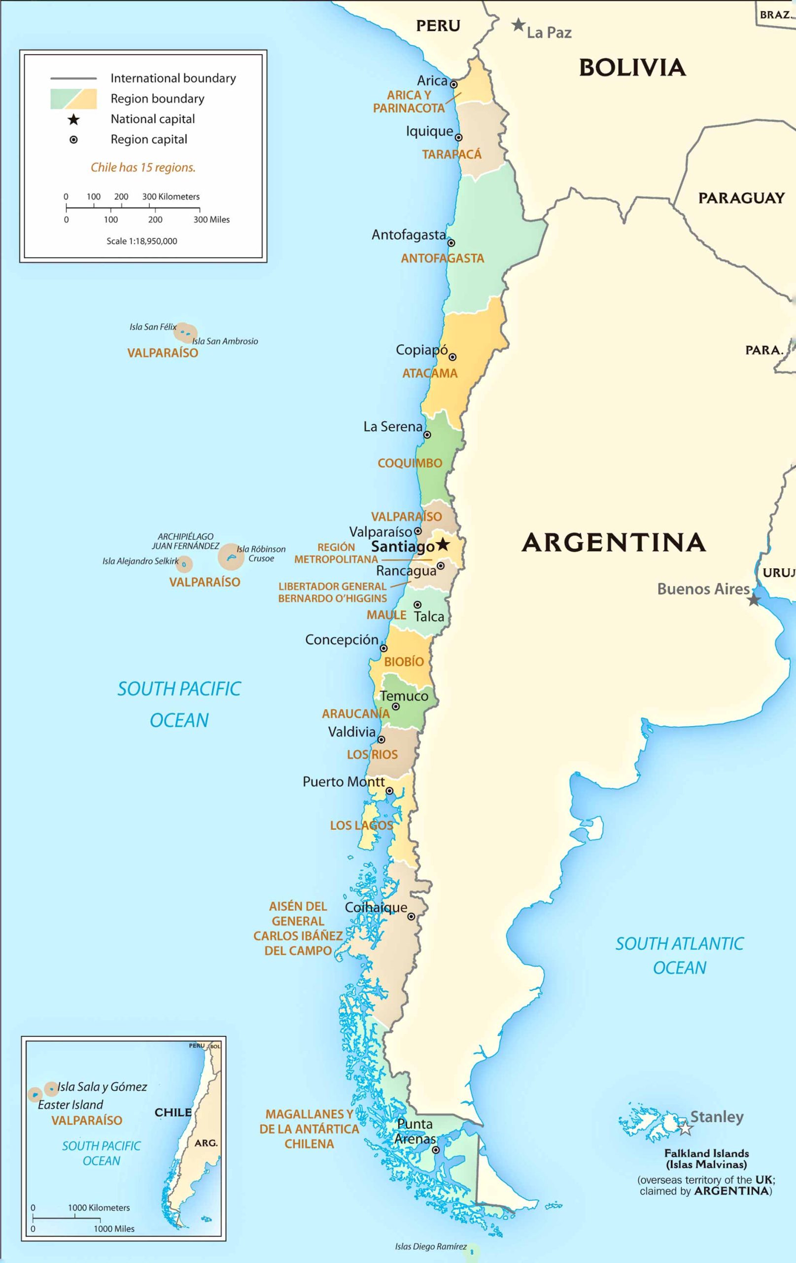
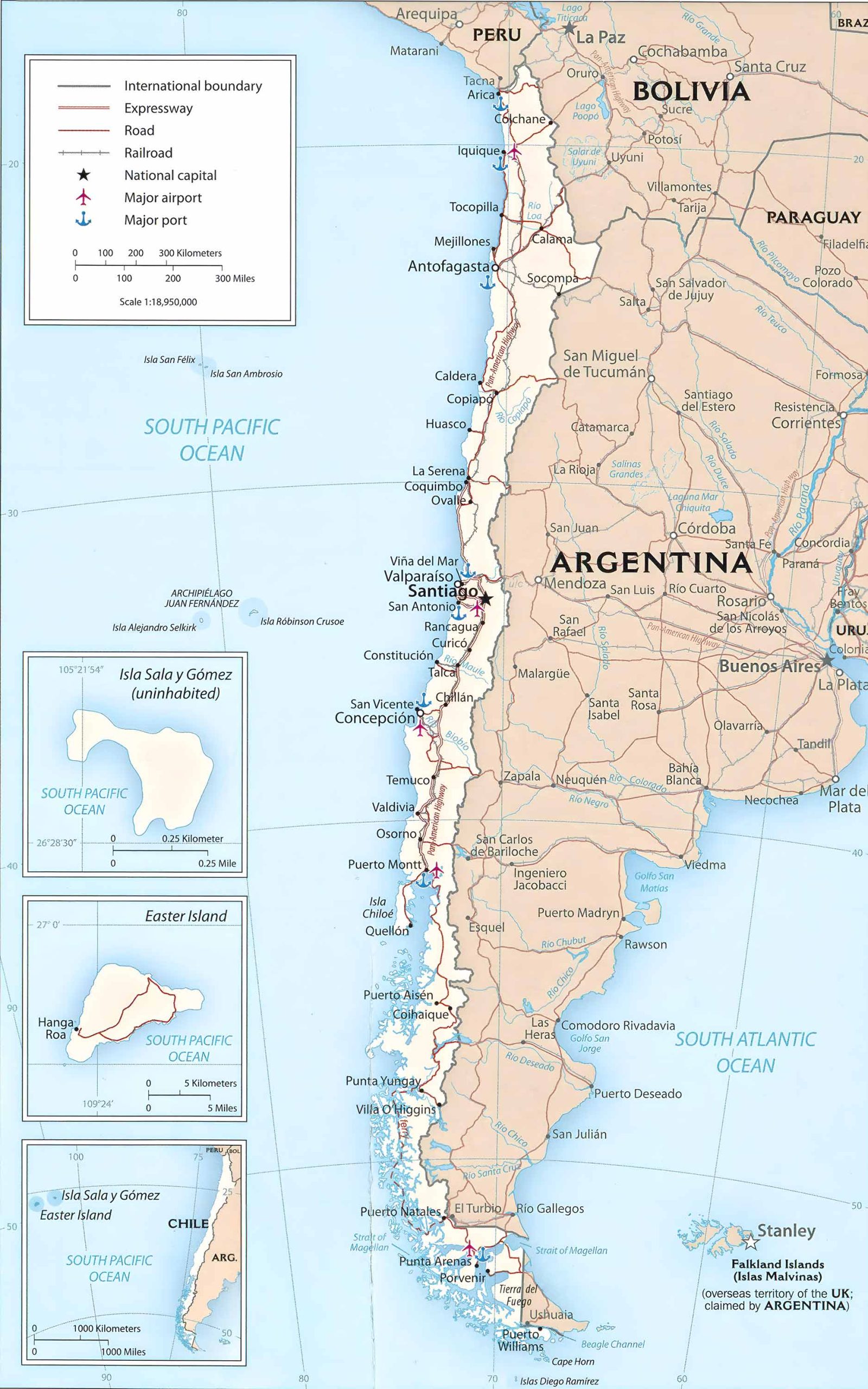
Chile’s political map outlines the country’s provinces and regions, showcasing its political boundaries. It’s a clear representation of how the country is structured politically, highlighting major cities including the capital, Santiago.
3. Chile Topographic Map
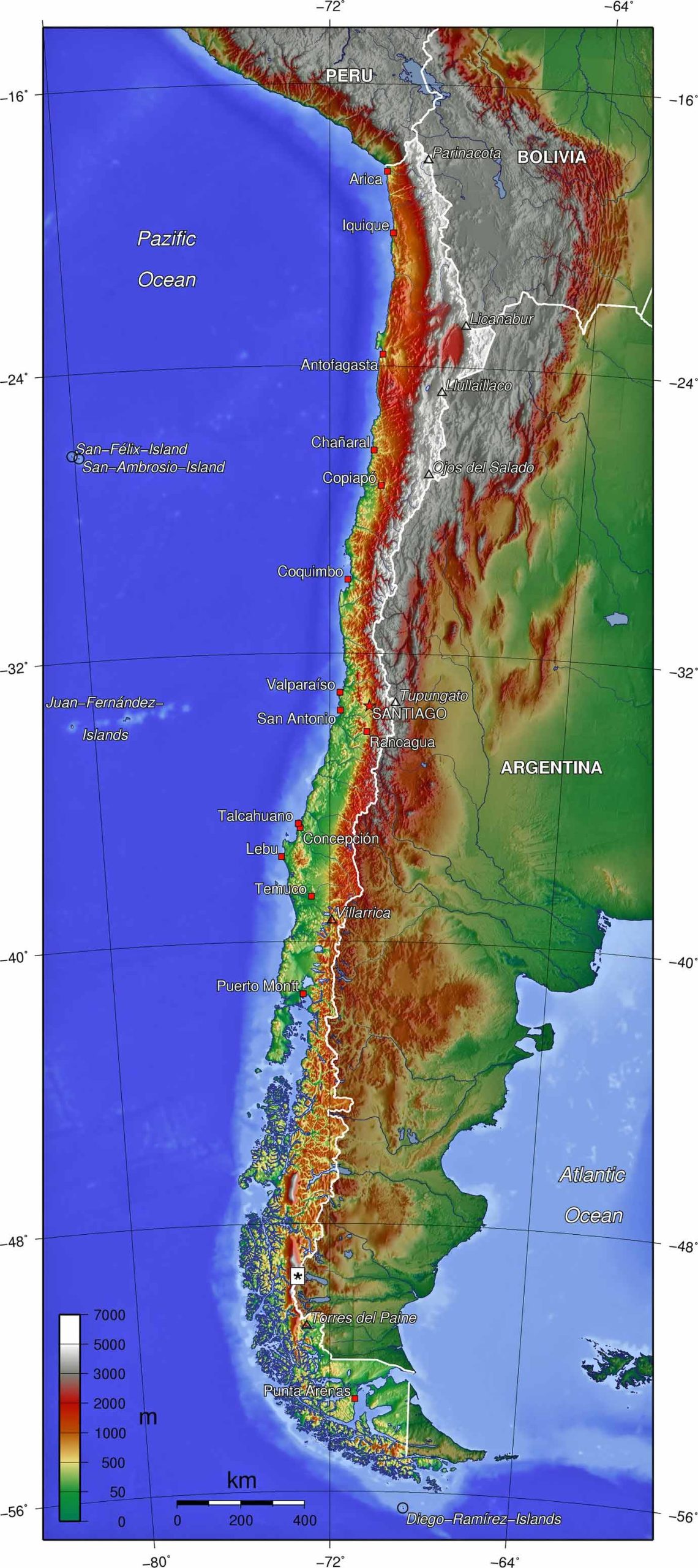
A topographic map of Chile offers a detailed 3D representation of the country’s terrain. It includes elevations, mountains, valleys, and plains, perfect for understanding the varied landscapes.
4. Chile Relief Map
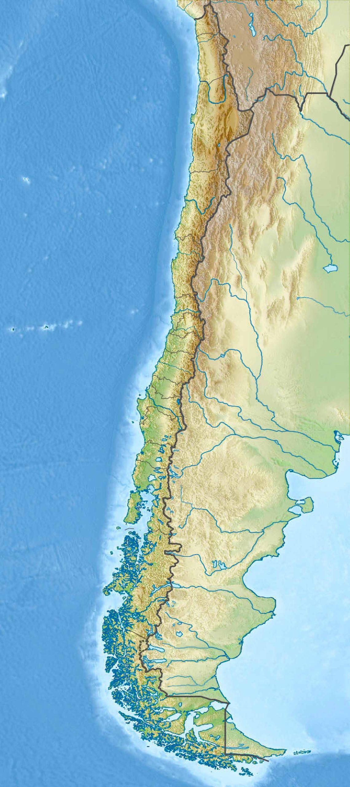
The relief map brings a realistic view of Chile’s physical features. This 3D map accentuates mountains, valleys, and plains, offering a tactile sense of Chile’s diverse topography.
5. Chile Geological Map
Chile’s geological map is a window into the country’s rich geological history. It shows the distribution of different rock types and geologic features, crucial for understanding Chile’s seismic activity and mineral resources.
6. Chile Cities, Counties, Capitals Map
This map focuses on Chile’s urban landscape, particularly its major cities. It provides detailed information on city layouts, including neighborhoods, main streets, and significant landmarks.
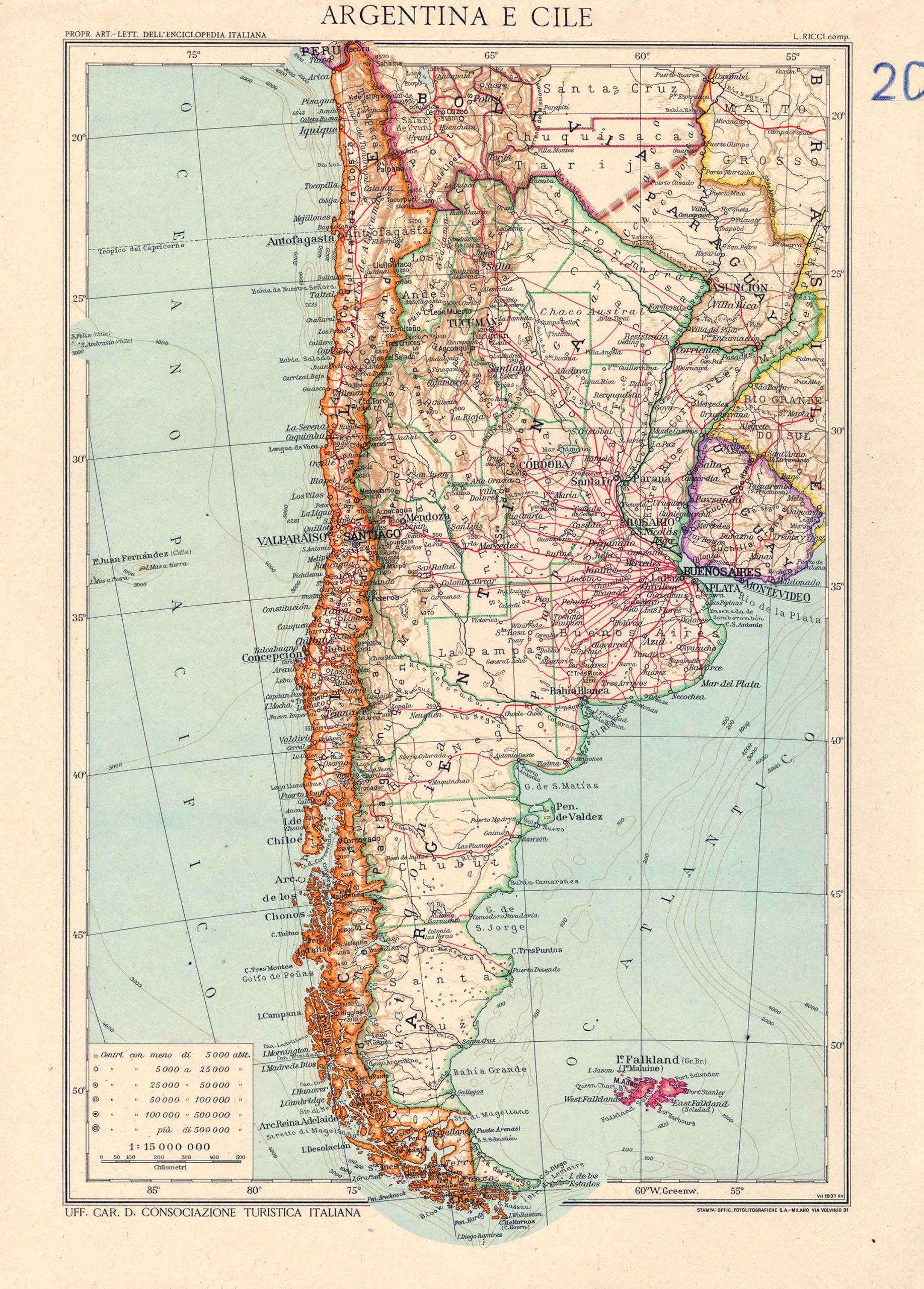
7. Chile Historical Map (1937)
The historical maps of Chile take you on a journey through the country’s rich and tumultuous history, showing territorial changes, historical events, and the evolution of its boundaries.
8. Chile Regions Map
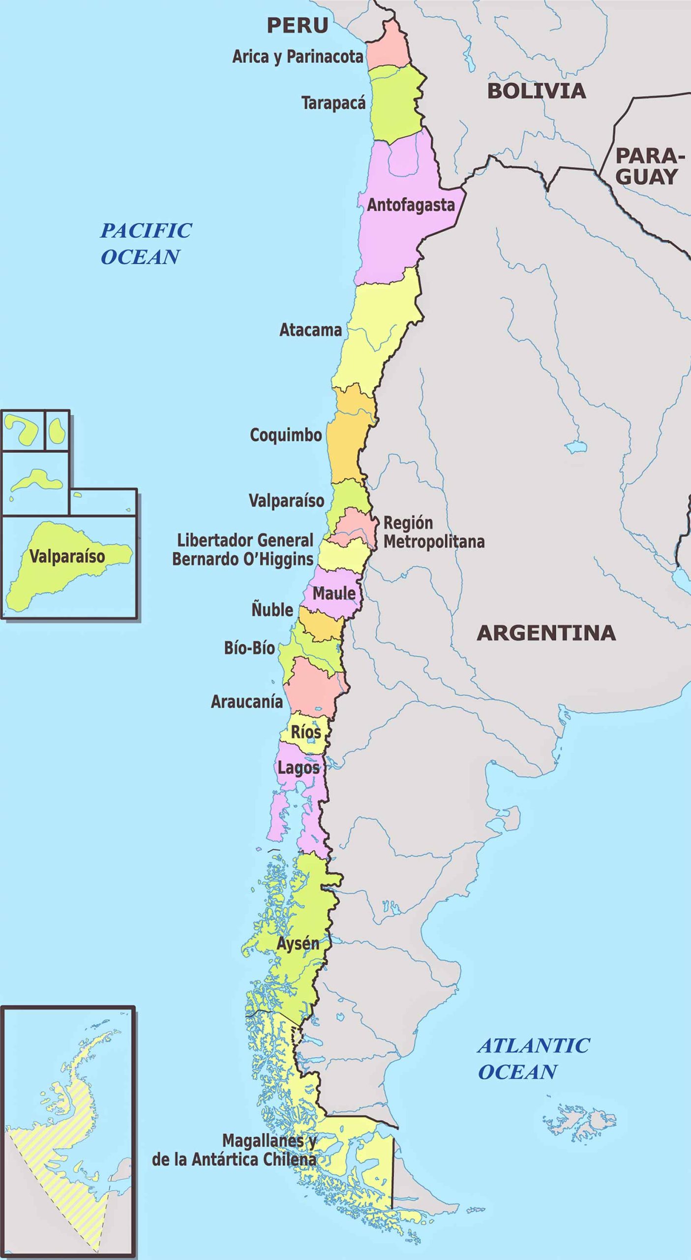
Chile is divided into multiple regions, each with its own unique characteristics. This map highlights these regions, offering insights into their geographical and cultural distinctions.
9. Chile Administrative Divisions Map
This map details Chile’s administrative divisions, showing how the country is organized into regions, provinces, and communes, illustrating the layers of governance.
10. Chile Transit Map
Chile’s transit map provides an overview of the country’s public transportation systems, including metro, bus, and other local transit options, particularly in major cities like Santiago.
11. Chile Road Map
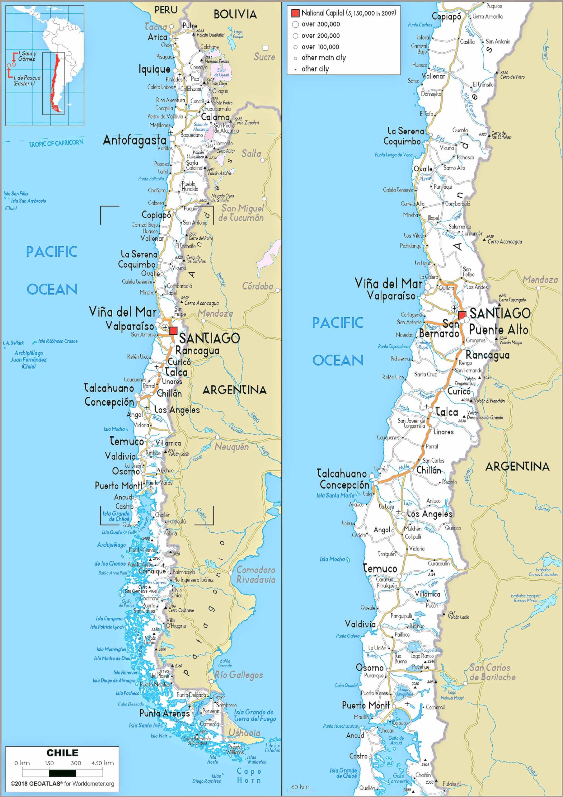
The road map of Chile is essential for travelers, showing major highways and roads, ideal for planning road trips and exploring the country’s vast landscapes.
12. Chile Train-Railway Map
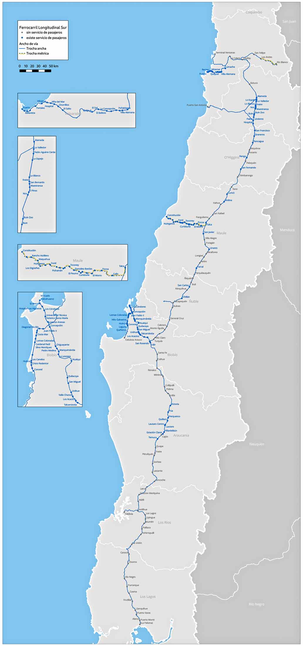
Explore Chile’s railway system with this map, highlighting the main train routes, including long-distance and regional lines, an important aspect of the country’s transport infrastructure.
13. Chile Climatic Map
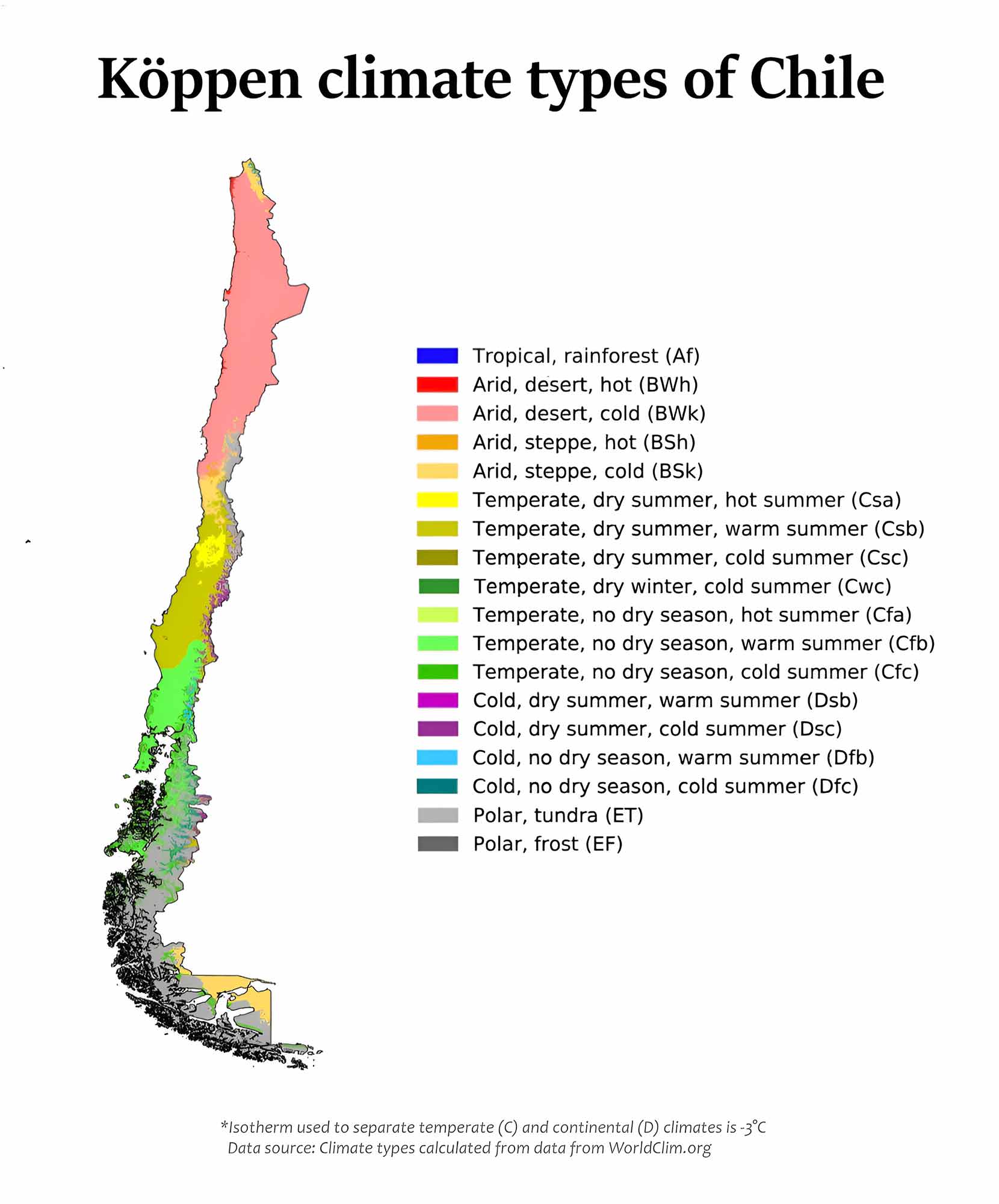
Chile’s climatic map illustrates the varied climate zones across the country, from the desert climate in the north to the polar climates in the south.
14. Chile Blank Map
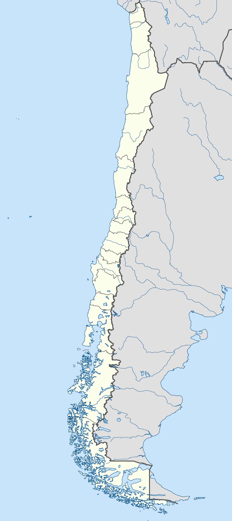
A blank map of Chile is a versatile tool, useful for educational purposes or for creating customized maps.
15. Chile Flag Map
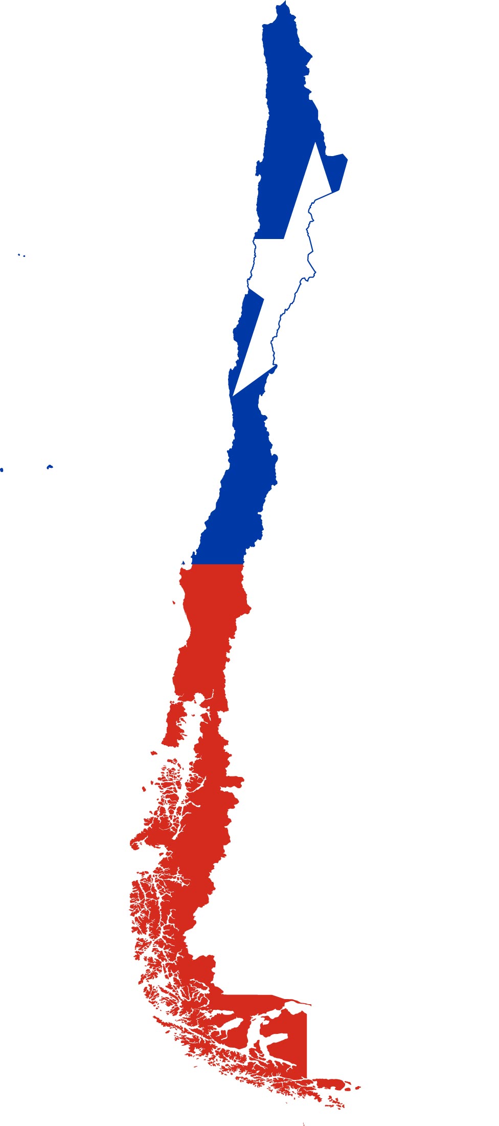
This creative map integrates the Chilean flag with the country’s outline, symbolizing national pride and identity.
16. Chile Travel-Tourist Map
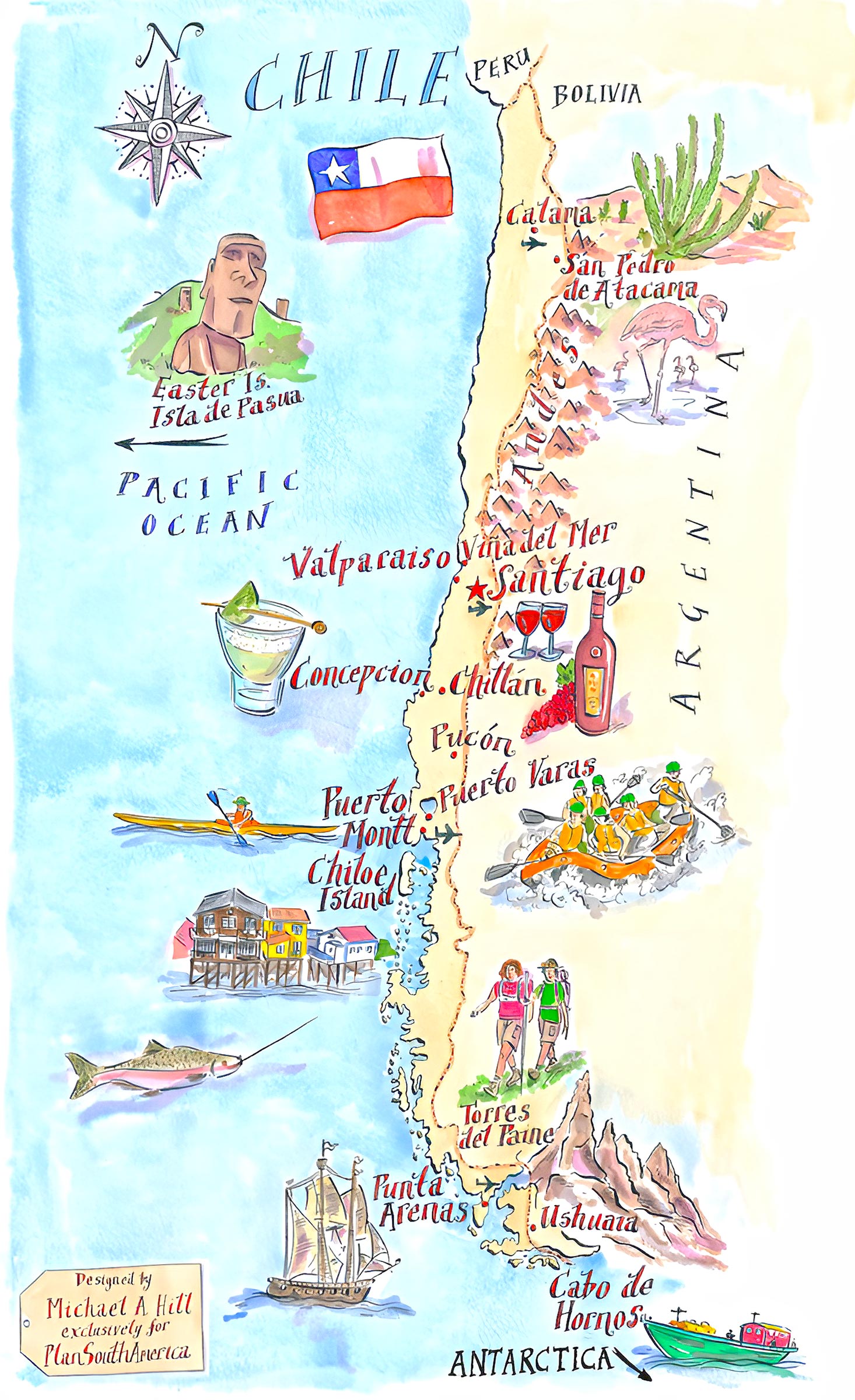
Designed for travelers, this map highlights tourist attractions, popular destinations, and travel routes, making it a handy guide for anyone exploring Chile.
17. Map of Chile’s Location in the Word Map
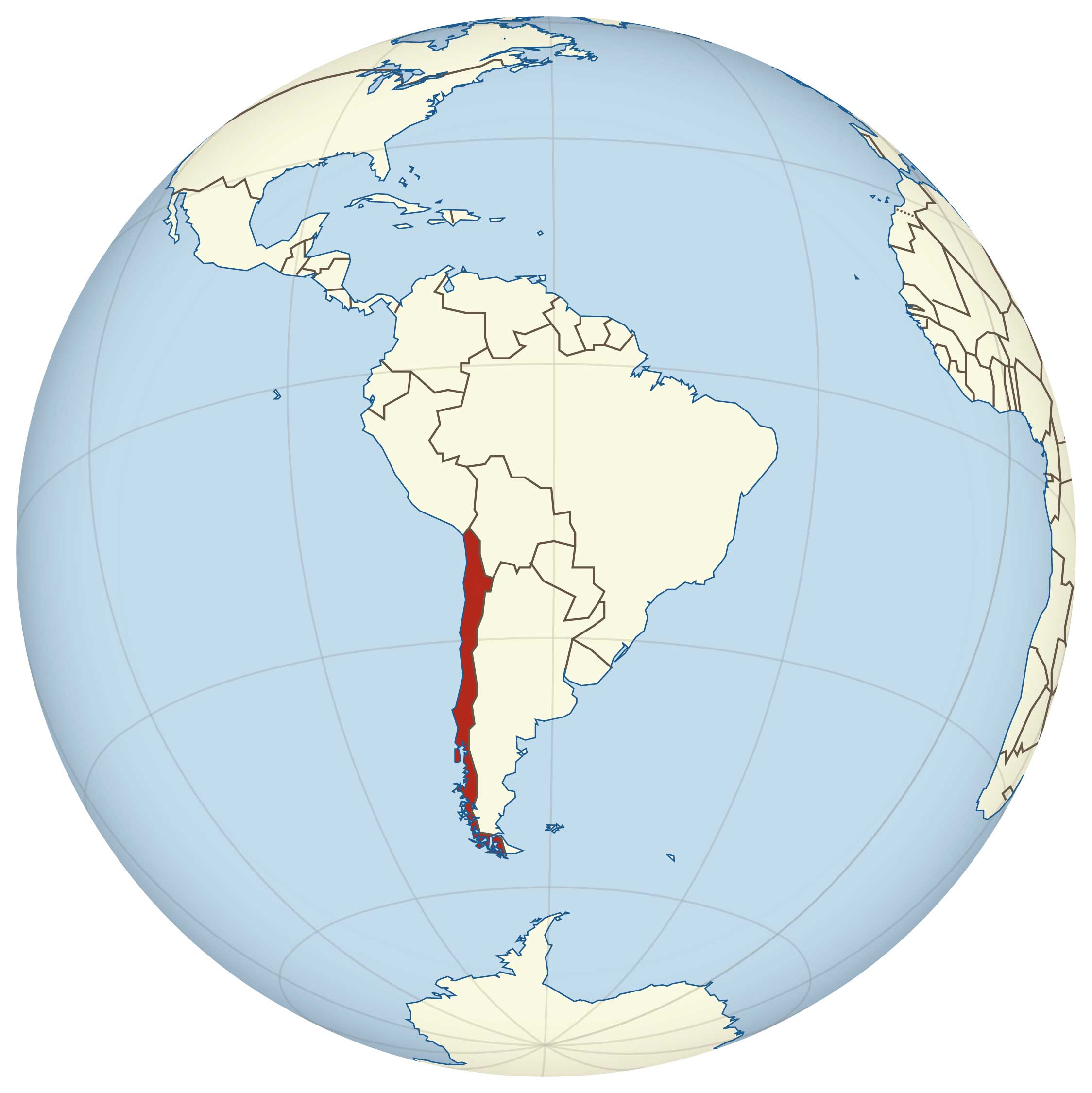
This global perspective shows Chile’s position on the world map, emphasizing its unique location along the southwestern coast of South America.
17. Chile Earth Satellite Map
An Earth satellite map provides a stunning view of Chile from space, showcasing its geographical features from a unique perspective.
Feel free to explore these pages as well:
Our cartographic exploration of Chile showcases the country’s remarkable diversity, from its physical landscapes to its cultural and political makeup. Each map tells a different story, revealing aspects of Chile that go beyond mere geography. Whether you are a student, a traveler, or simply a curious mind, these maps offer valuable insights into this fascinating South American nation. As you delve deeper into each map, remember that they are more than just visual aids; they are windows into the heart and soul of Chile. Happy exploring!

