- Advertisement -
Where is Algeria, geography of Algeria, enlargeable topographic map of Algeria, including political maps, physical map, cities map, satellite images of Algeria, location, itinerary, atlas, border map, cities maps and find more travel maps.
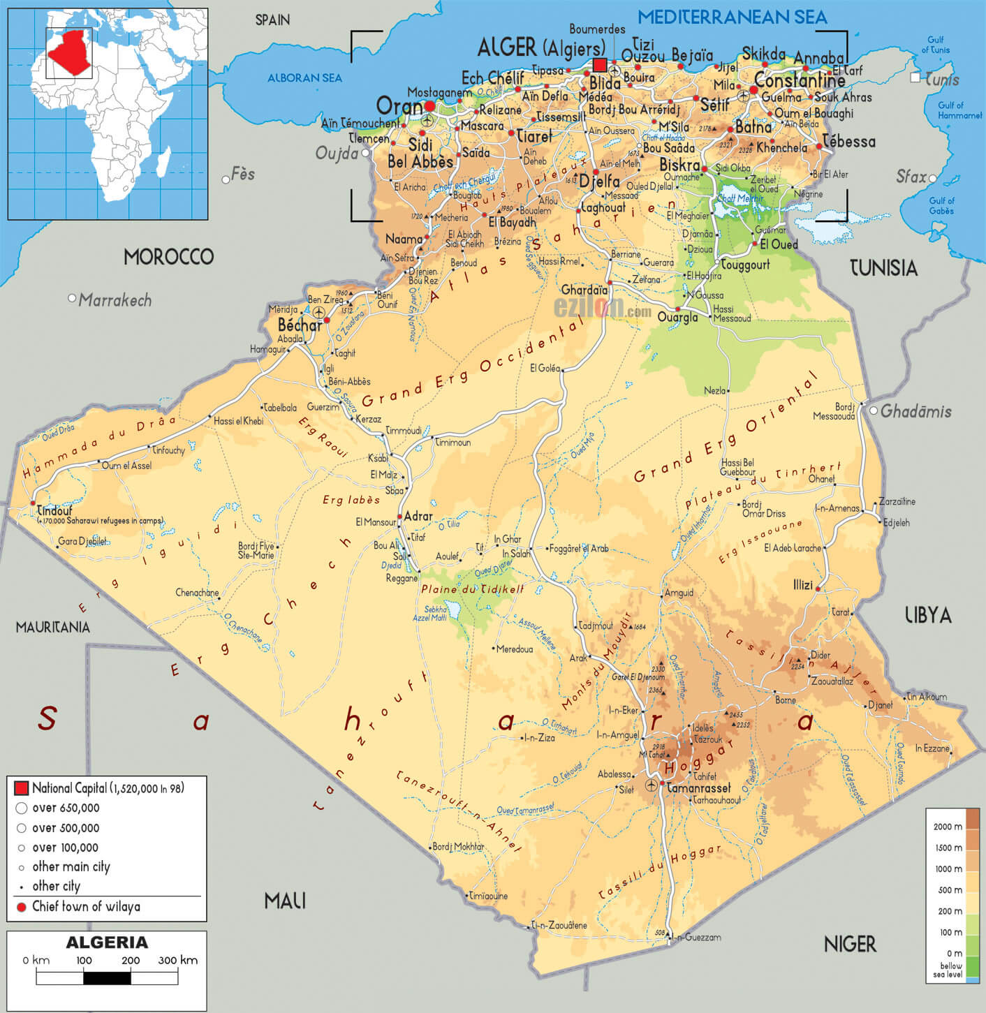
Algeria locaition map
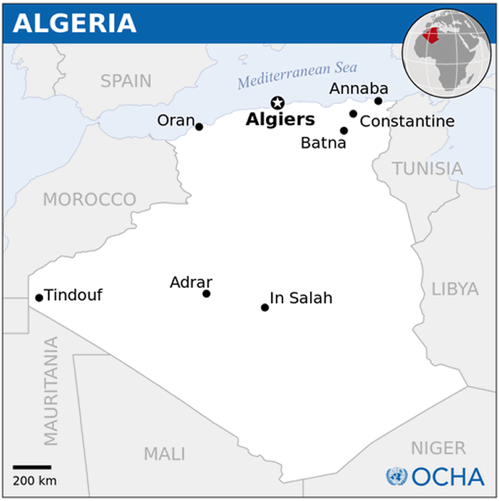
Algeria map africa
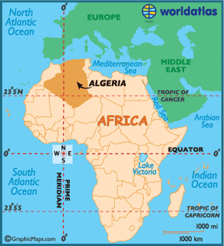
Algeria map cities
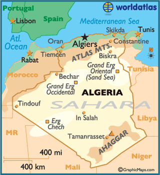
Cities Map of Algeria
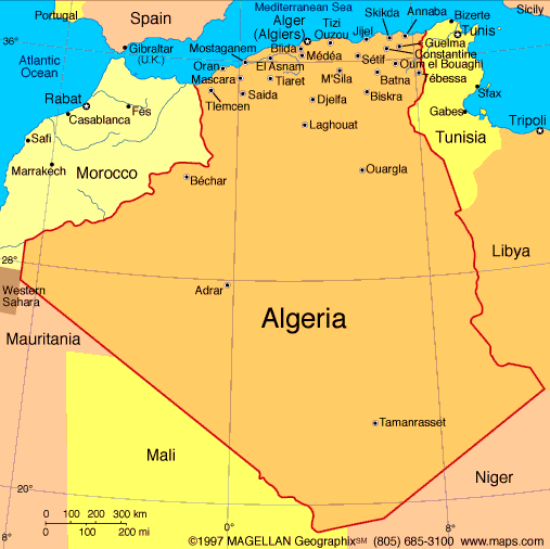
Map of Algeria
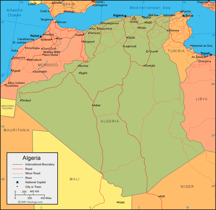
Political Map of Algeria
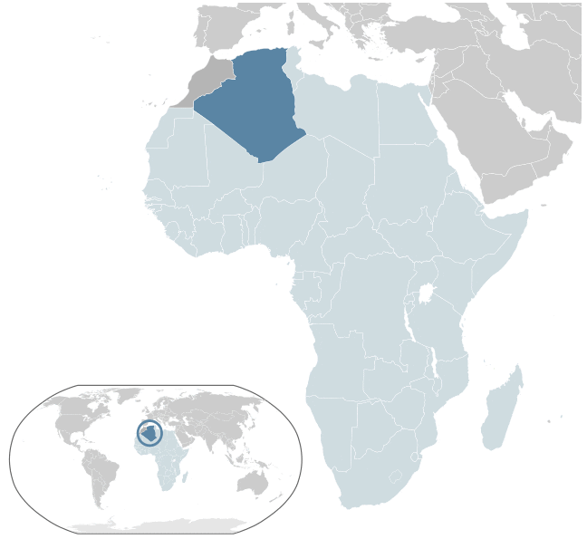
Where is Algeria in the World
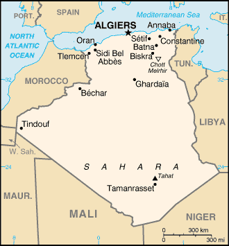
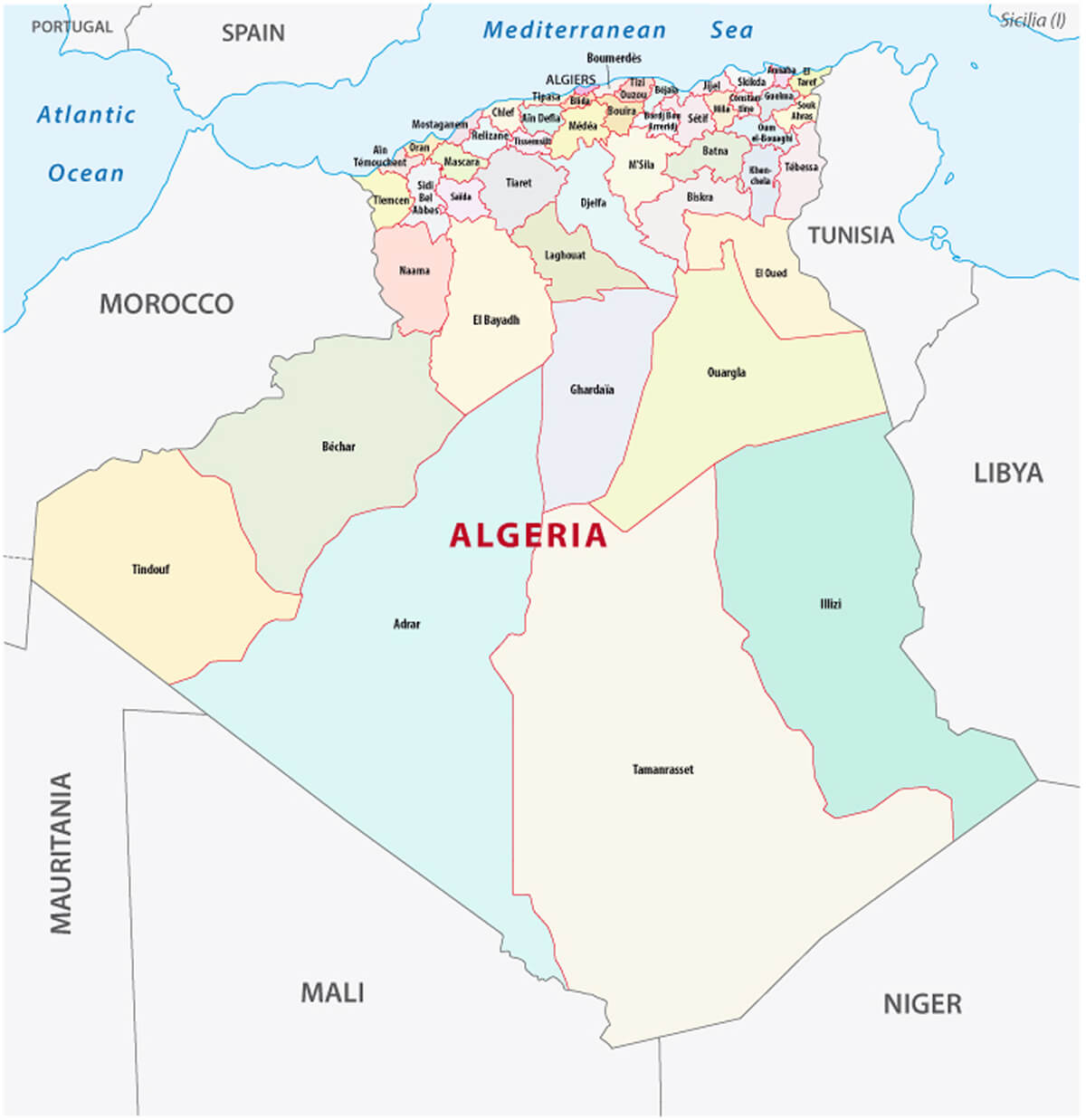
Algeria Administrative Map with Provinces
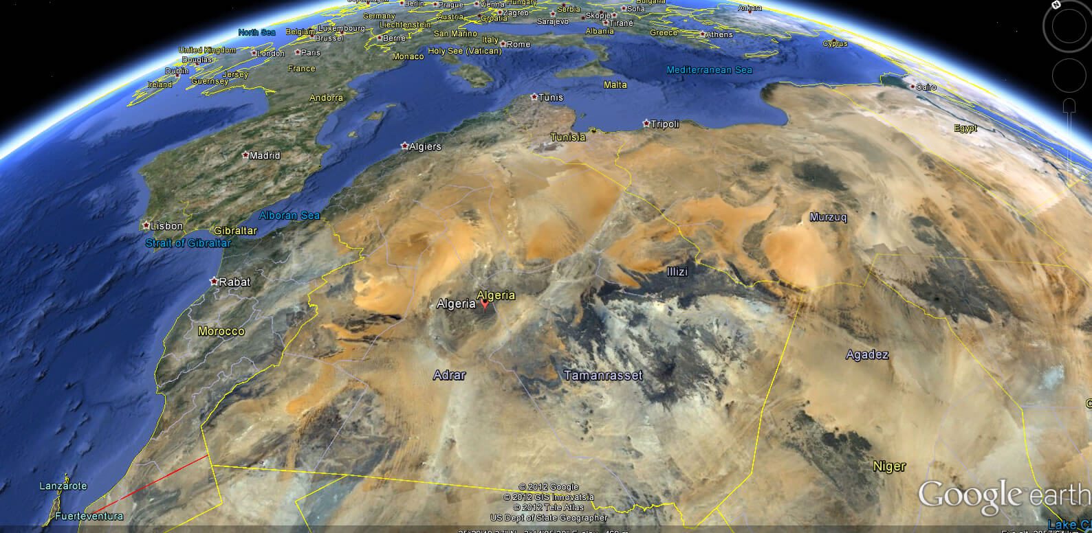
Algeria Earth Map
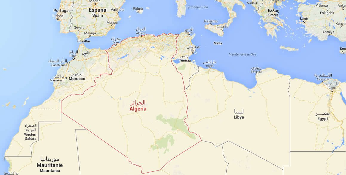
Algeria Google Map
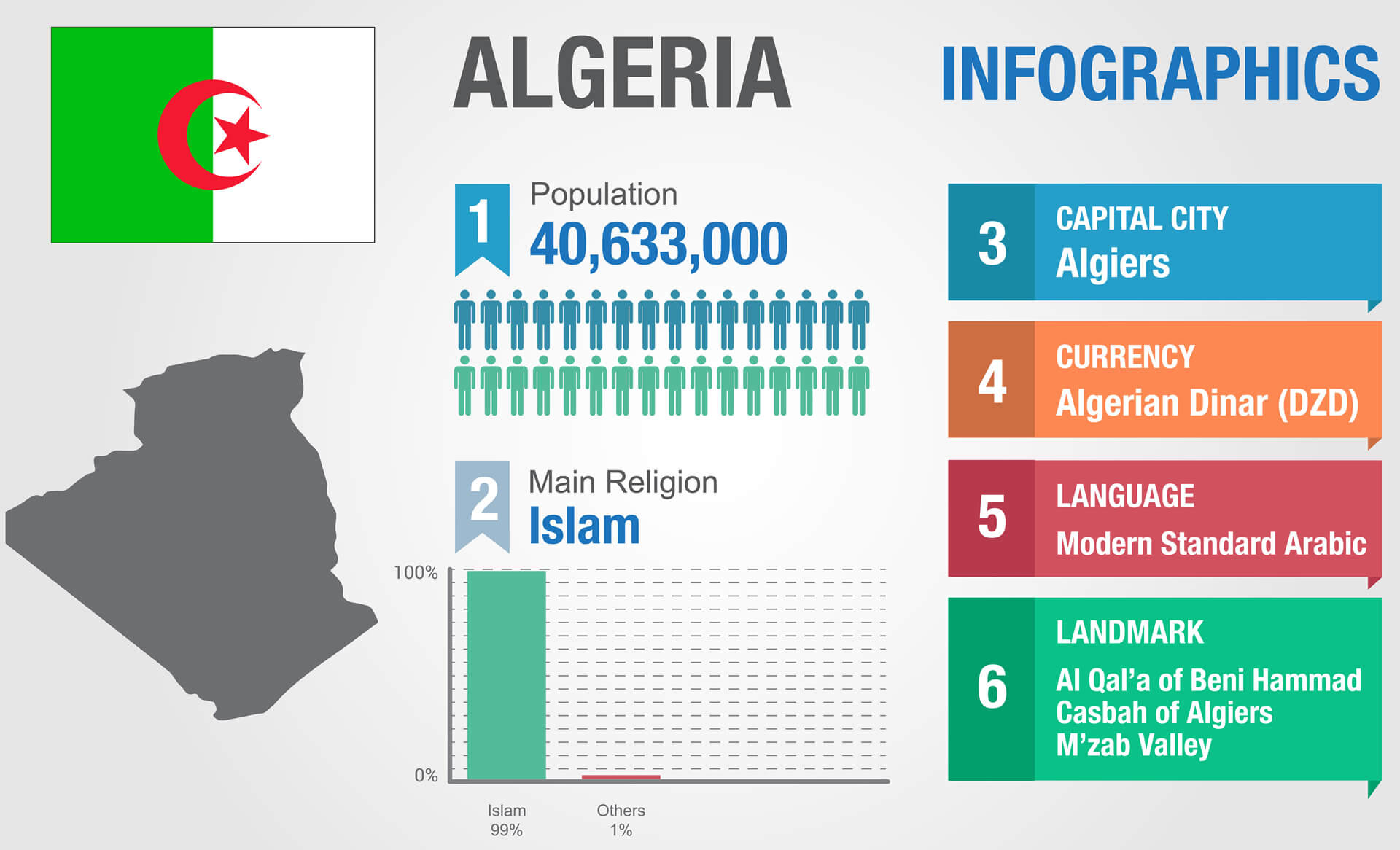
Algeria Infographics Map
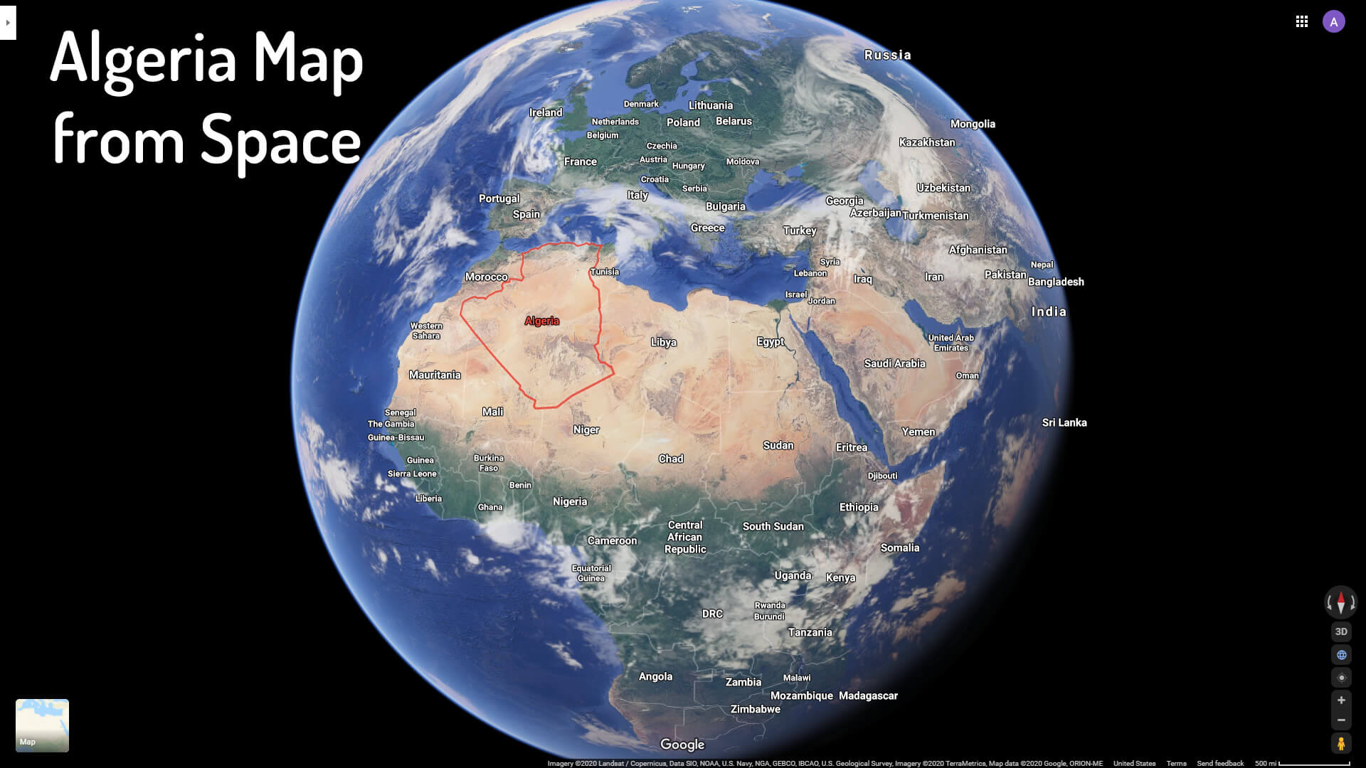
Algeria Map from Space
Algeria Map

Algeria National Map
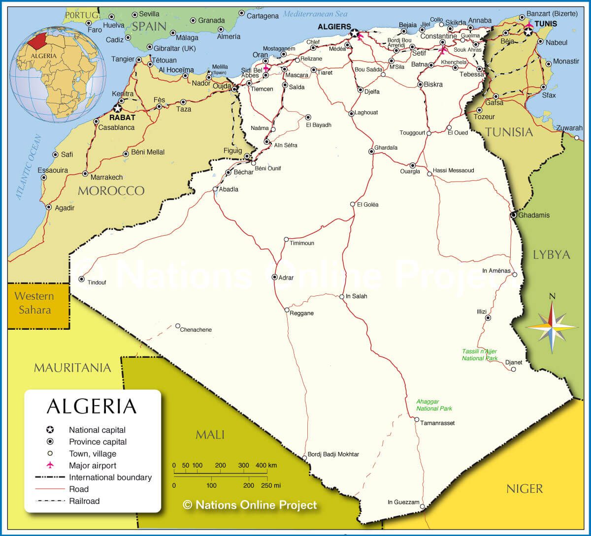
Algeria physical map

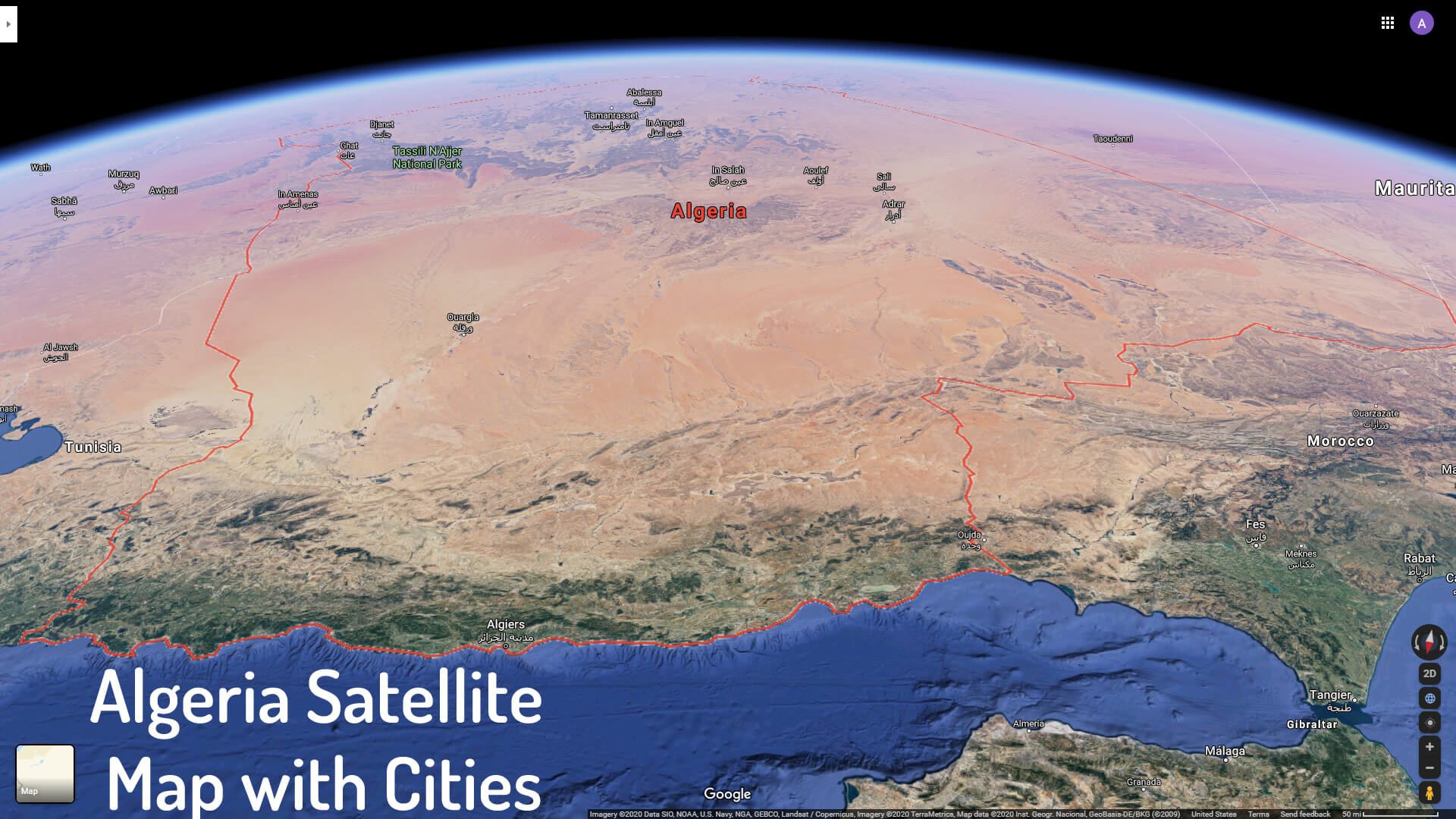
Algeria Satellite Map with Cities
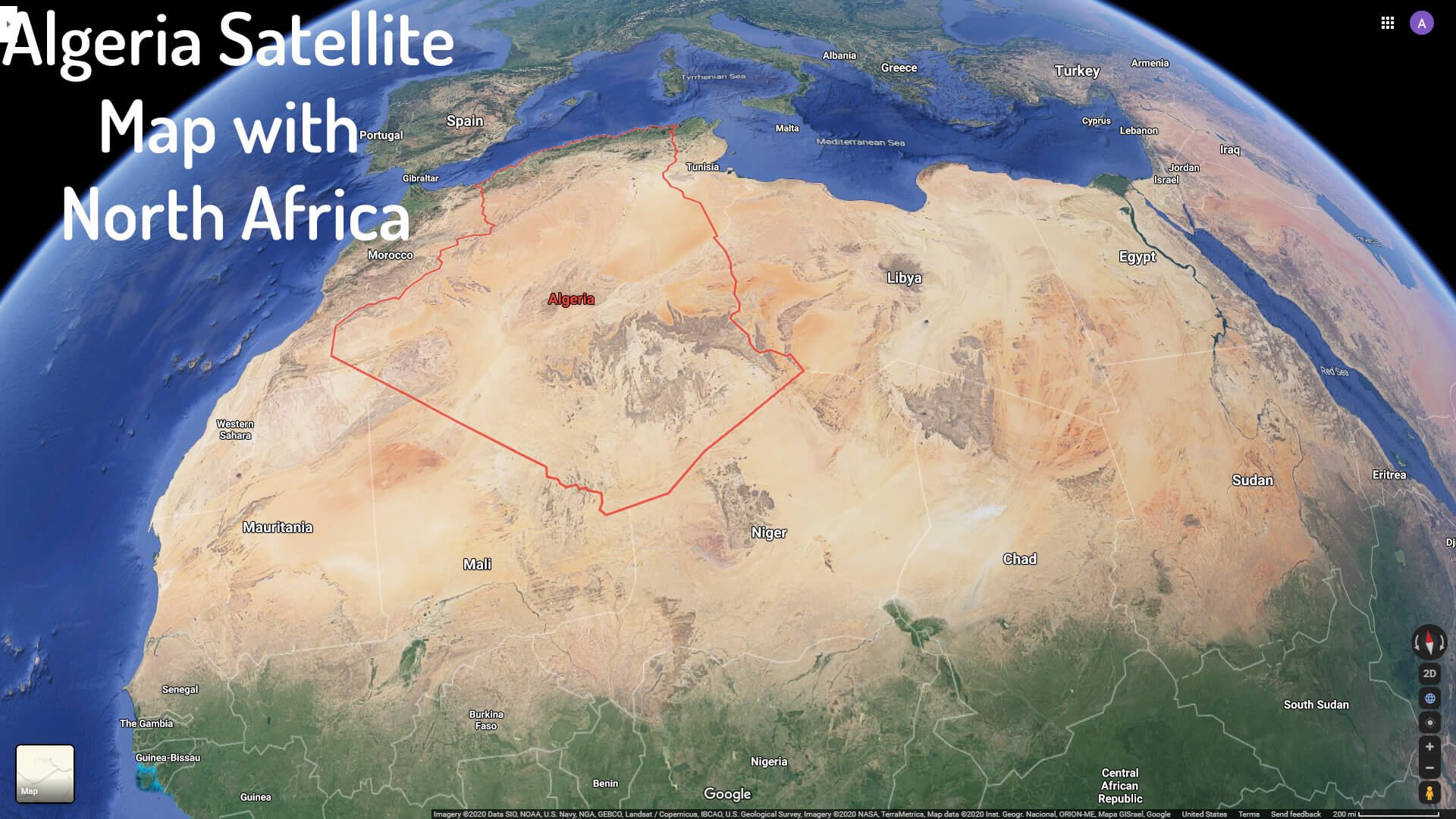
Algeria Satellite Map with North Africa
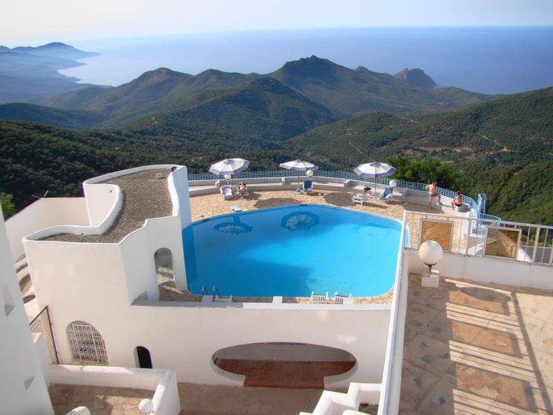
Algeria Seraidi Annaba
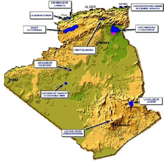
Algeria Map
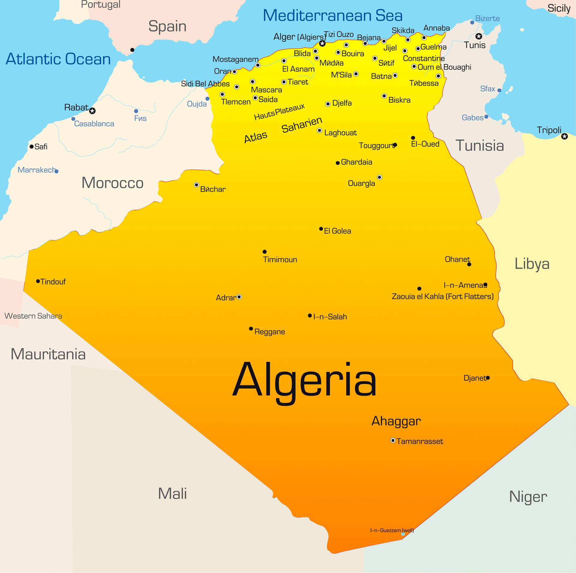
Color Map of Algeria
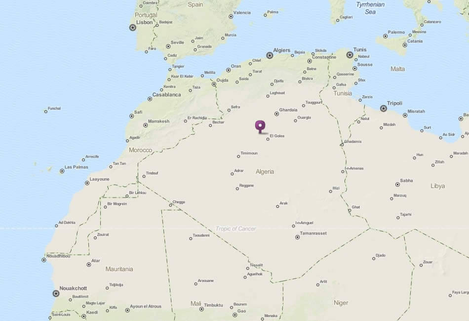
Map of Algeria
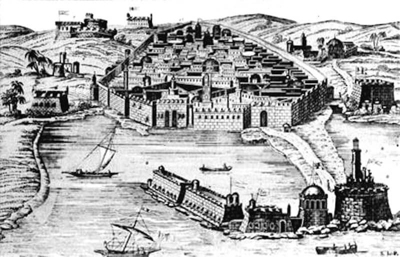
Old Algiers 16th century
Physical Map of Algeria with Cities
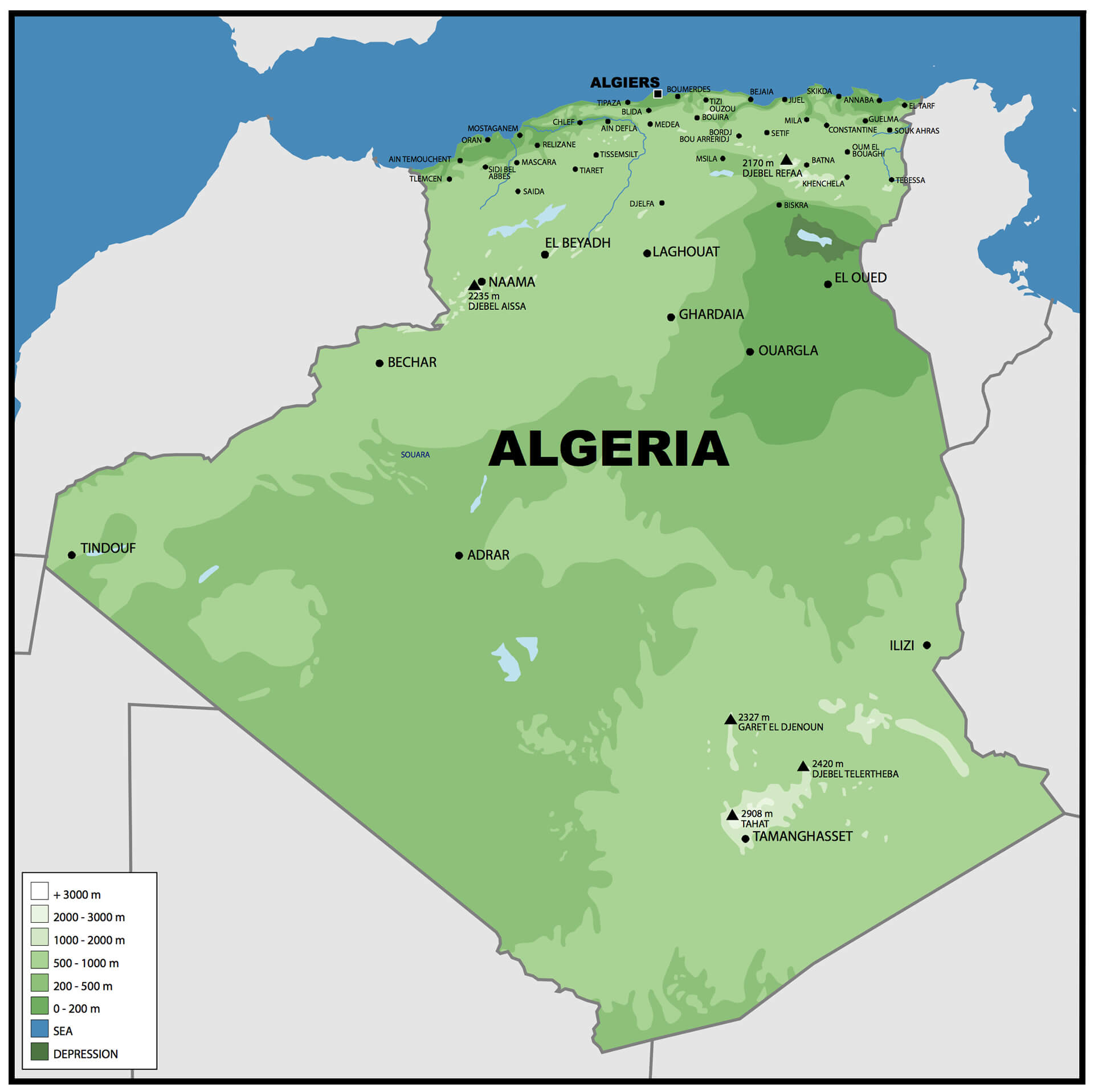
Physical Map of Algeria
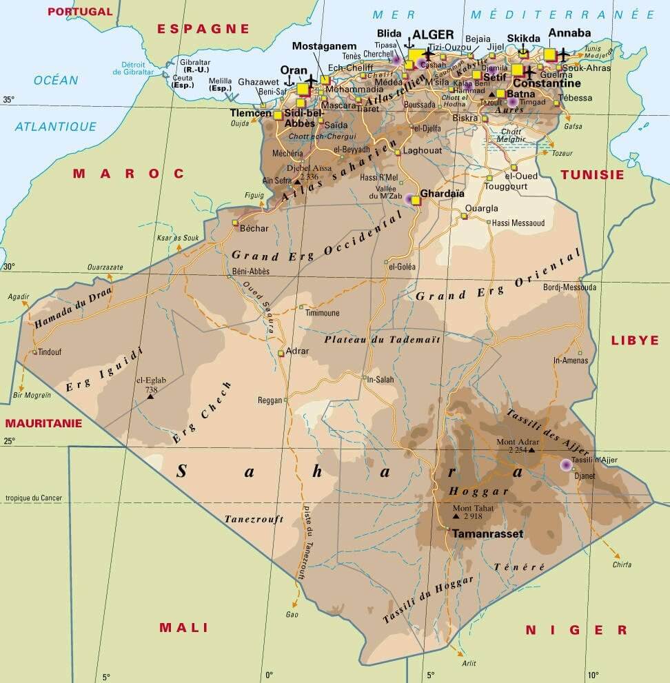
Physical Road Map of Algeria
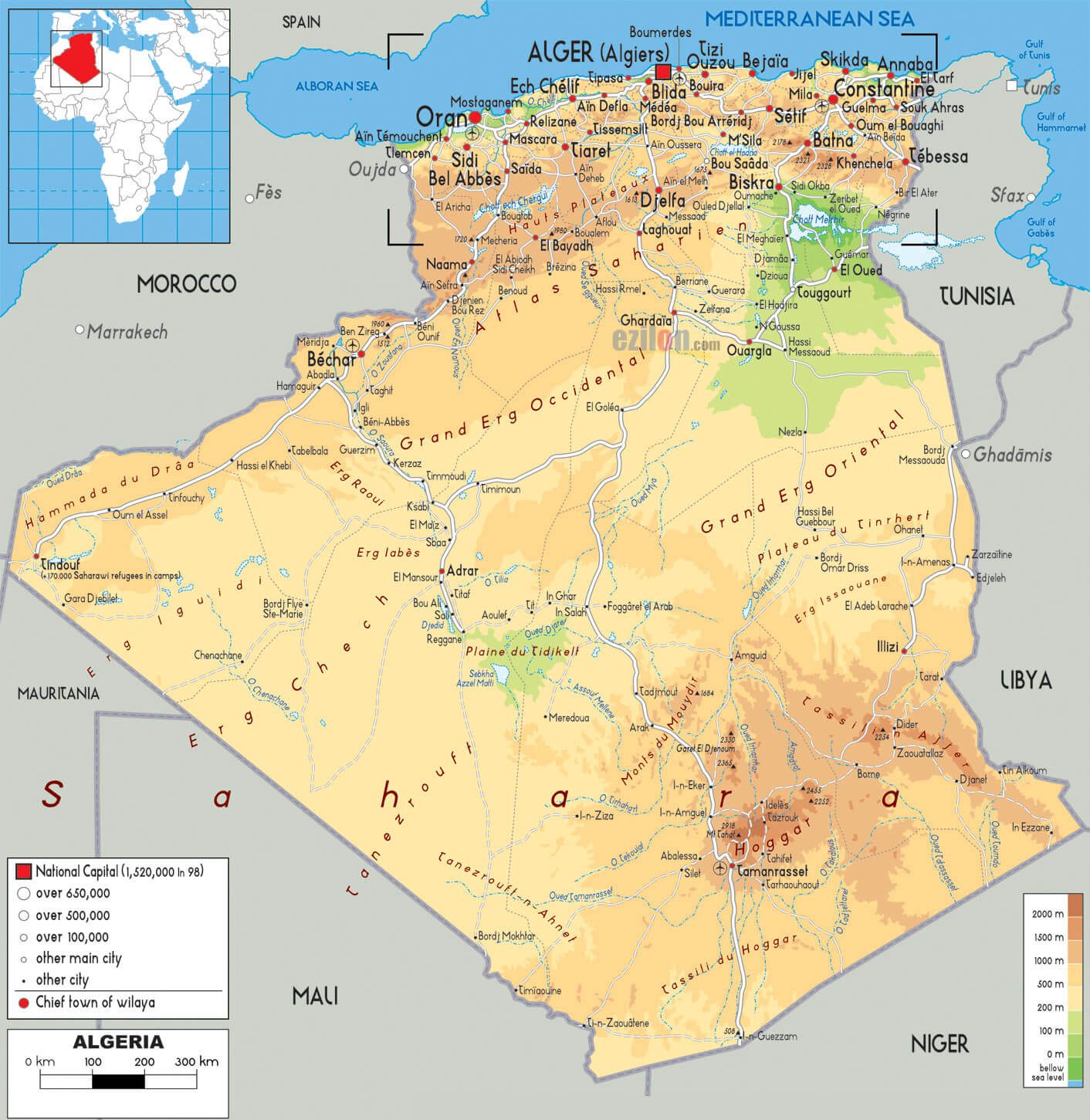
Political Map of Algeria
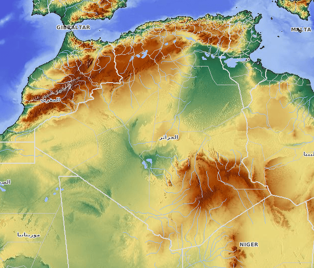
Algeria Relief Map
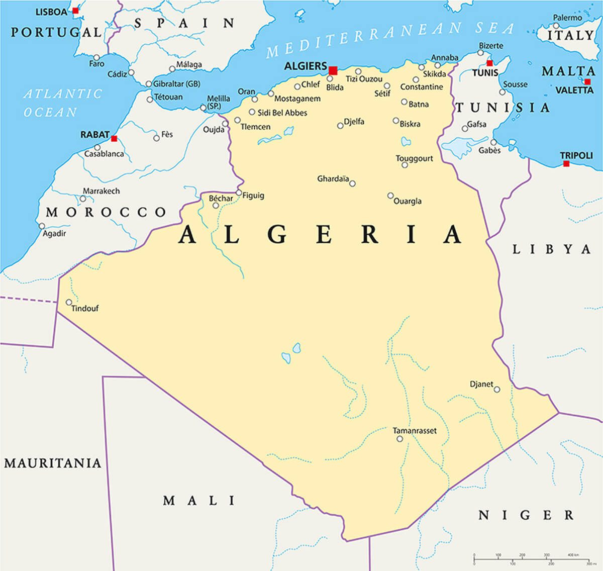
Cities Map of Algeria
- Alger Map
- Annaba Map
- Batna Map
- Biskra Map
- Blida Map
- Chlef Map
- Constantine Map
- Djelfa Map
- eEl-Jazair Map
- Oran Map
- Setif Map
- Sidi Bel Abbes Map
- Skikda Map
- Tebessa Map
- Tlemcen Map
Where is Algeria on the Africa Map?
Show Google interactive map, satellite map, where is the country located.
Get directions by driving, walking, bicycling, public transportation and travel with street view.
Feel free to explore these pages as well:
- Egypt Map ↗️
- Nigeria Map ↗️
- Tanzania Map ↗️
- Syria Map ↗️
- A Collection of Lebanon Maps ↗️
- Iran Map ↗️
- Iraq Map ↗️
- Israel Map ↗️
- Jordan Map ↗️
- Oman Map ↗️
- Saudi Arabia Map ↗️
- Uganda Map ↗️
- Where is Located Qatar in the World? ↗️
- United States Map ↗️
- United Kingdom Map ↗️
- Türkiye Map ↗️
- Europe Map ↗️
- Africa Map ↗️
- Advertisement -
