Explore our US States Capitals Map, a high-resolution and printable guide featuring all state capitals, major cities, and interstate roads across the United States. This high detailed US physical and political map combines shaded relief, topographic details, and road networks to help you understand geography and travel routes easily.
Whether you’re searching for a colored map with state capitals, a US political map with capital cities, or a physical map of USA and states capitals, this comprehensive US states and capitals map is perfect for education, tourism, and planning cross-country trips.
United States Map with State Capitals
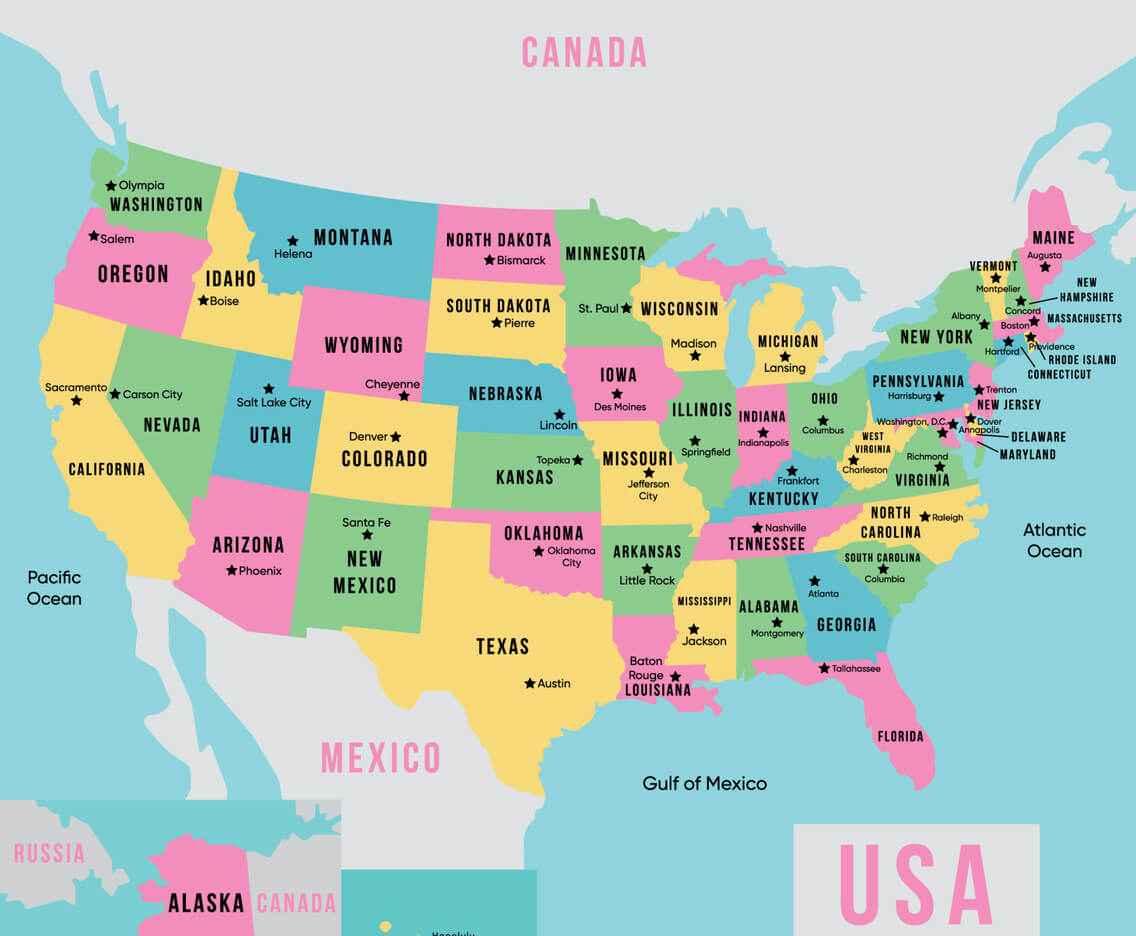
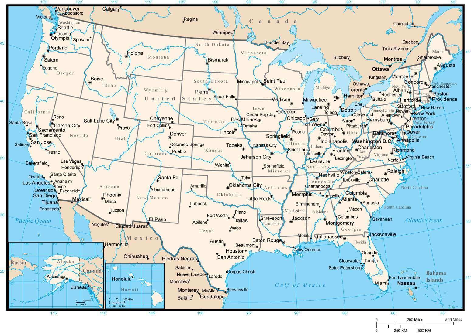
US political map of states and capitals
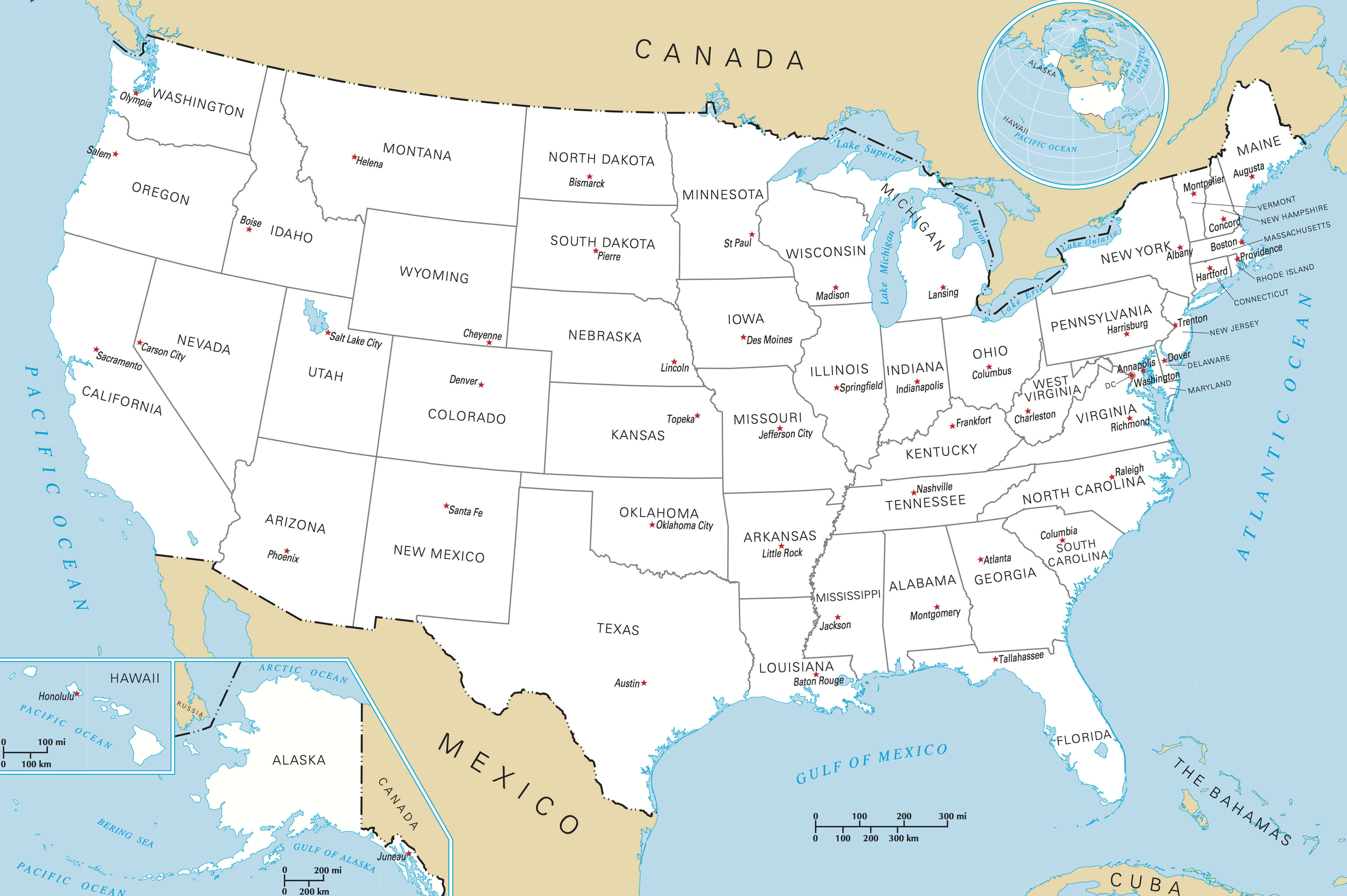
US states map with capitals
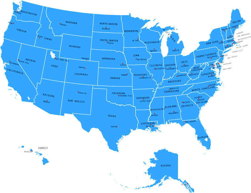
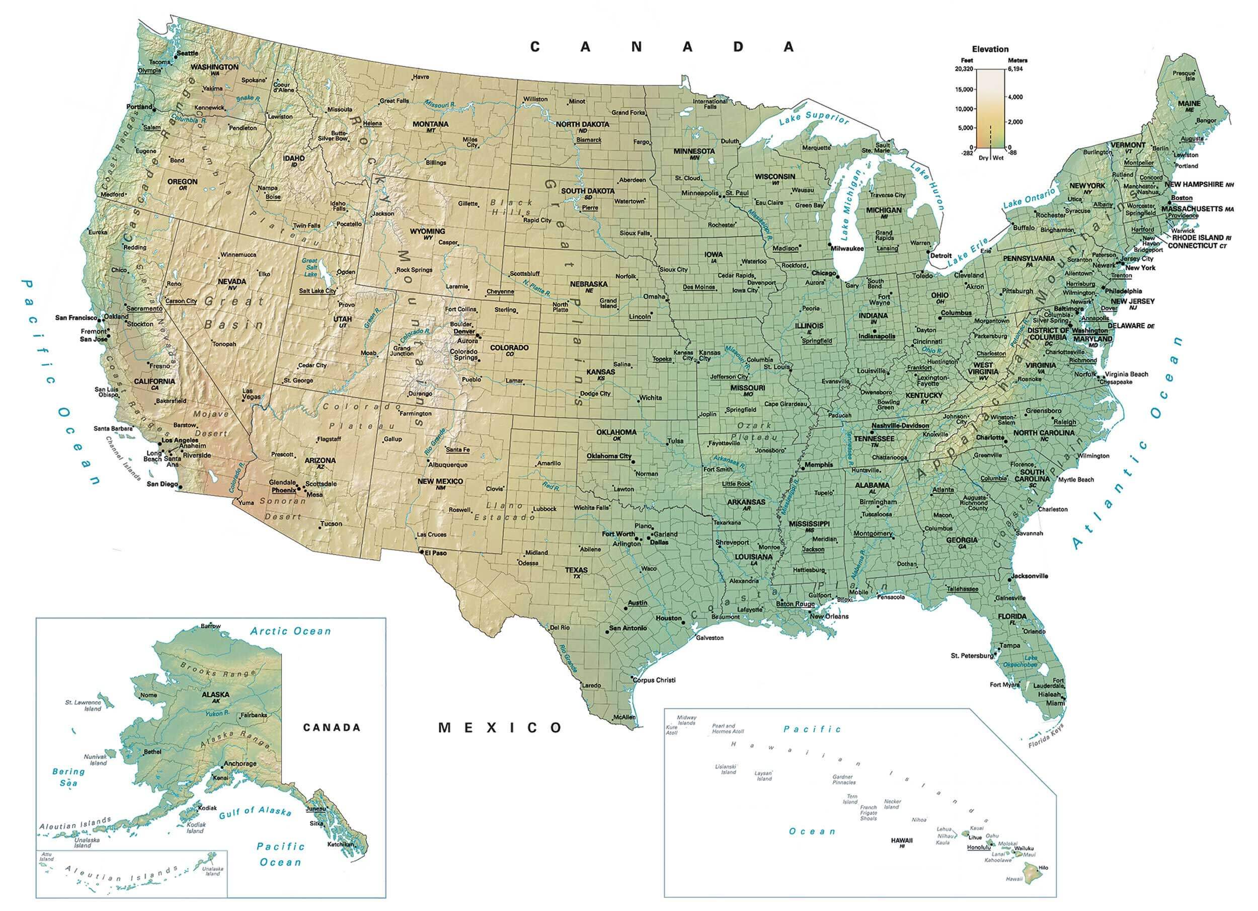
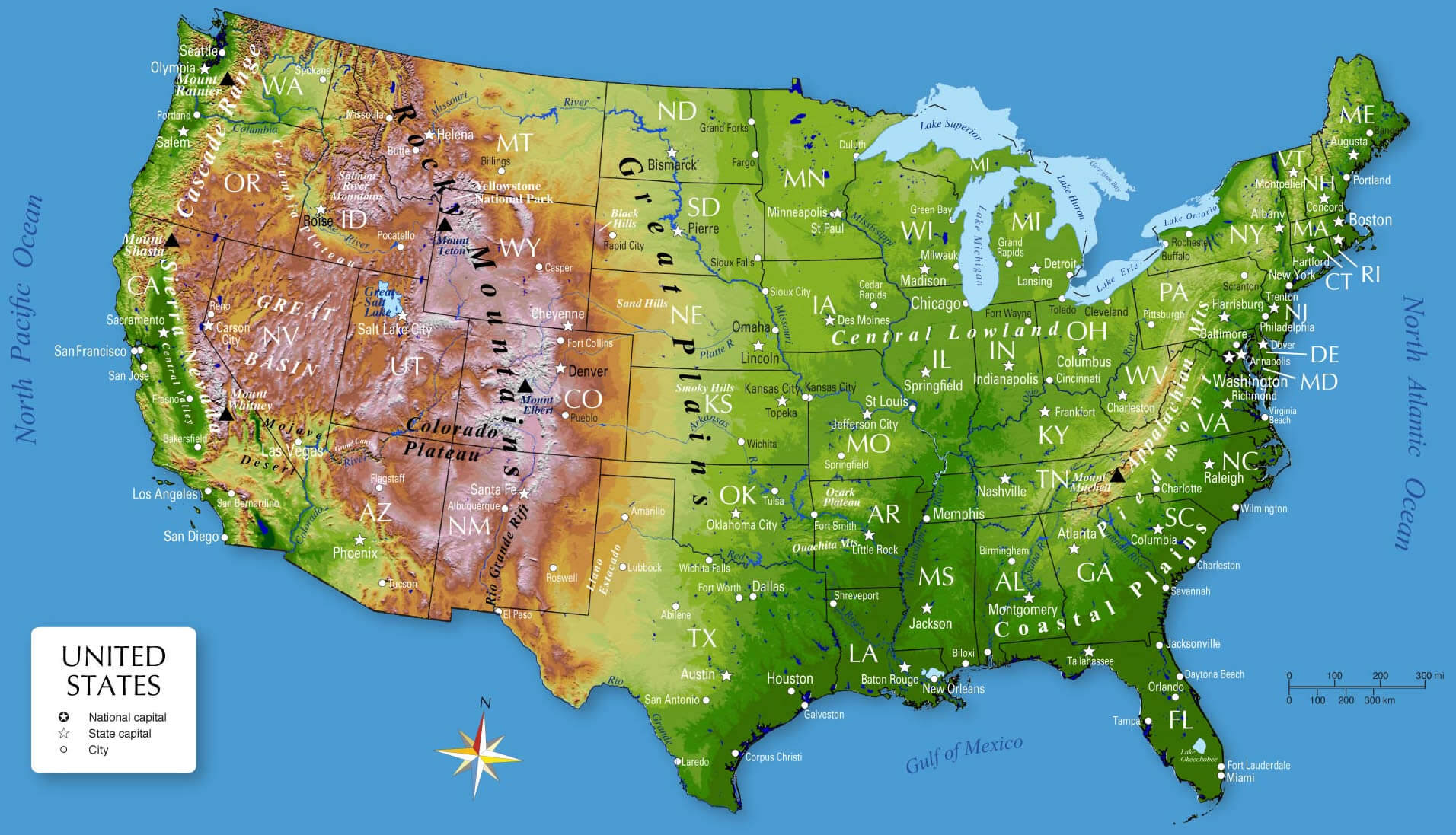
High detailed US physical map with states capitals
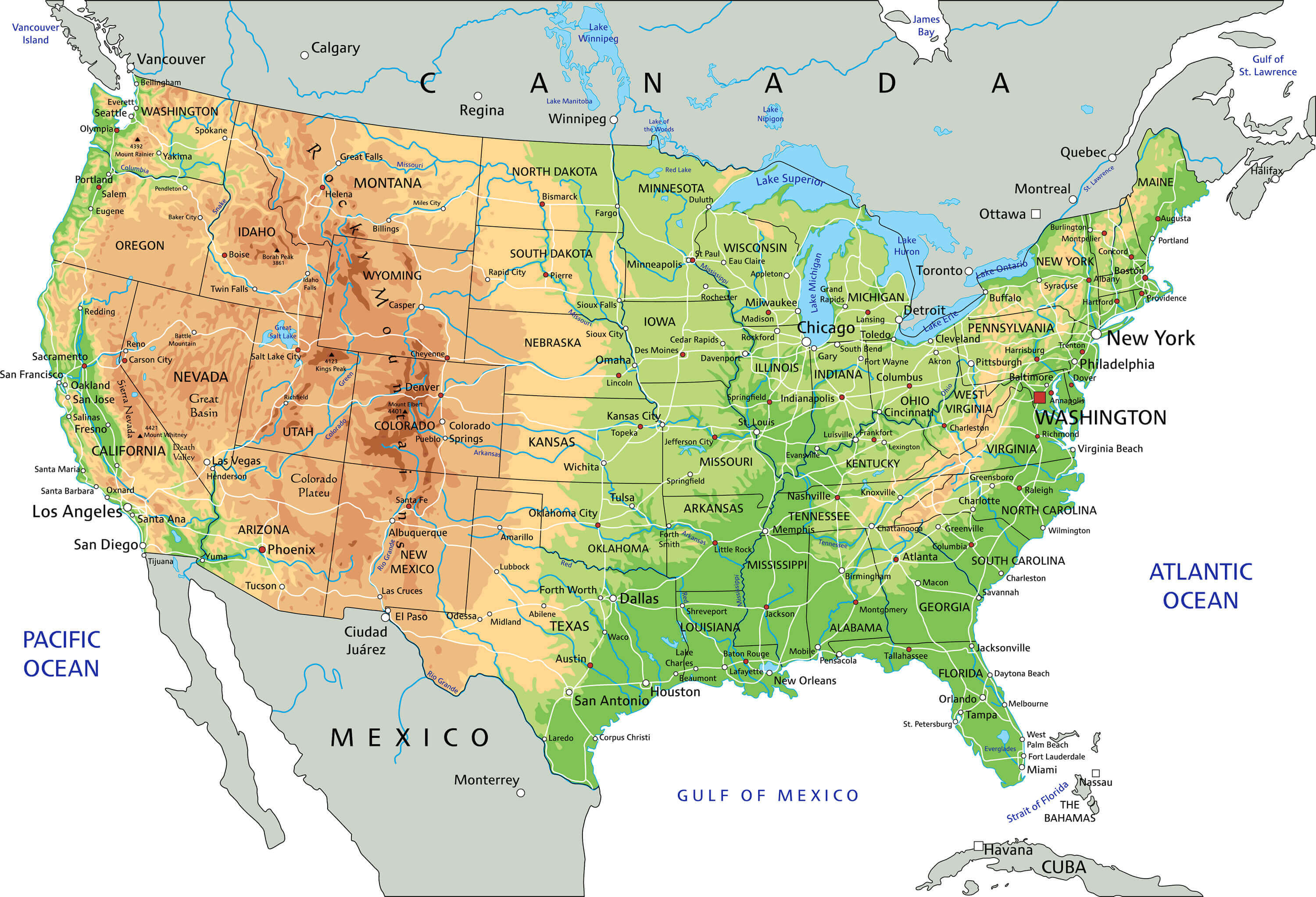
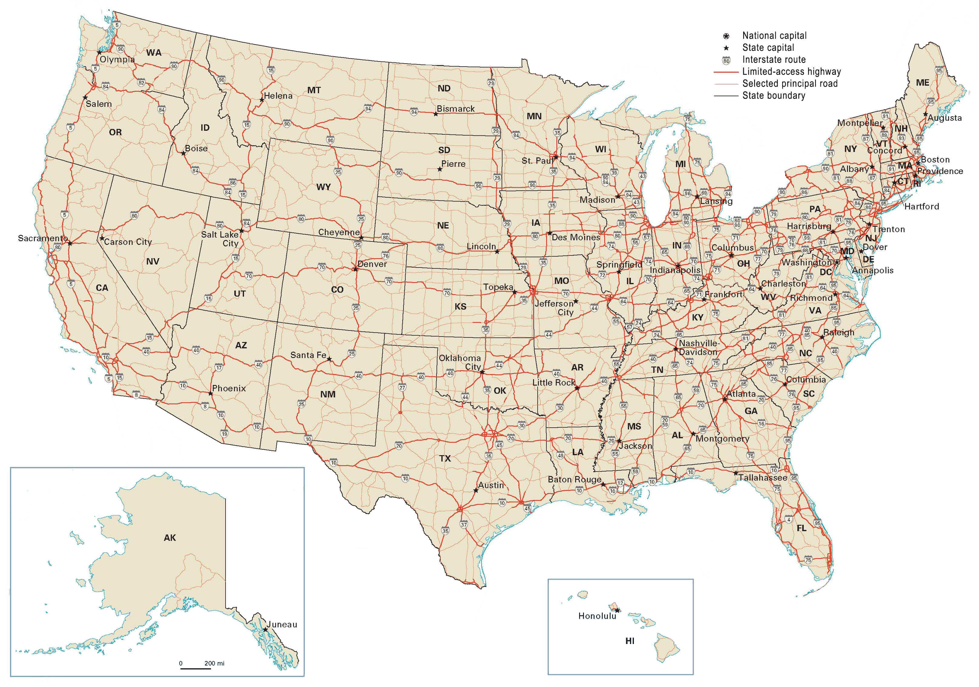
High resolution US road map
Physical map of USA and states capitals
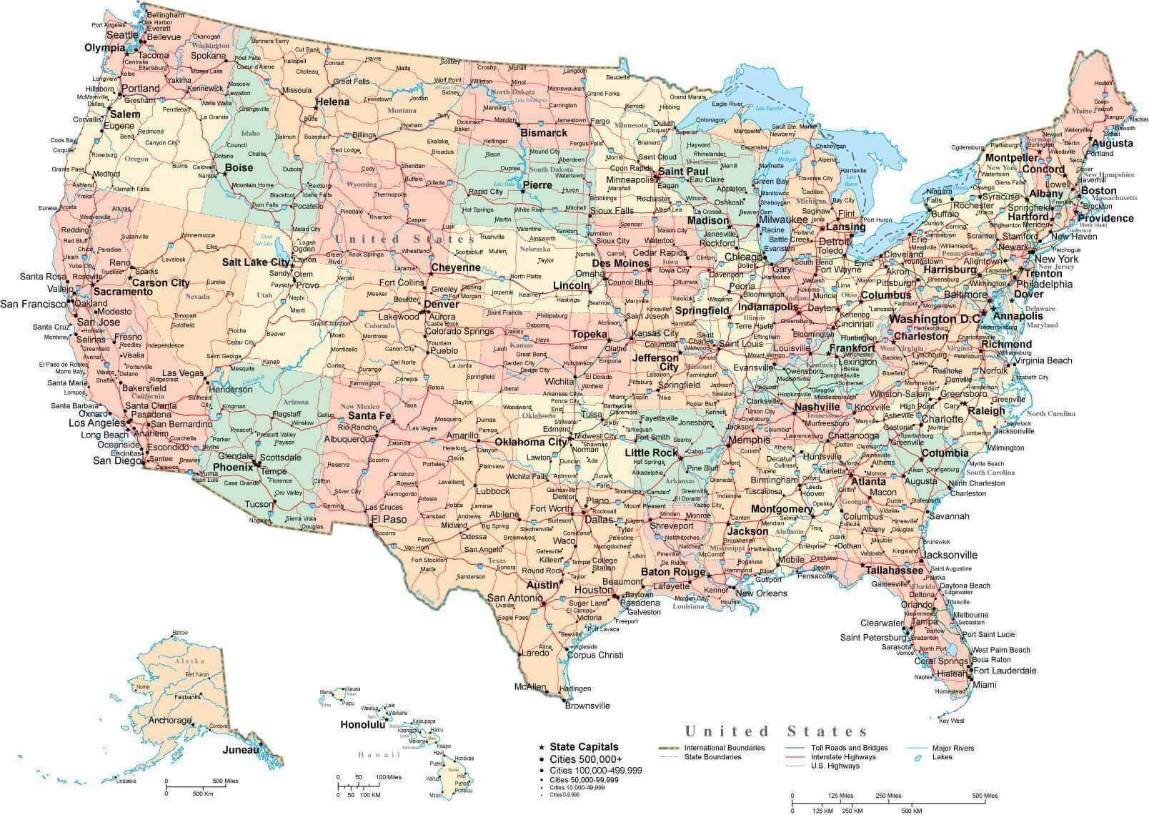
High detailed US interstate Road map state capitals
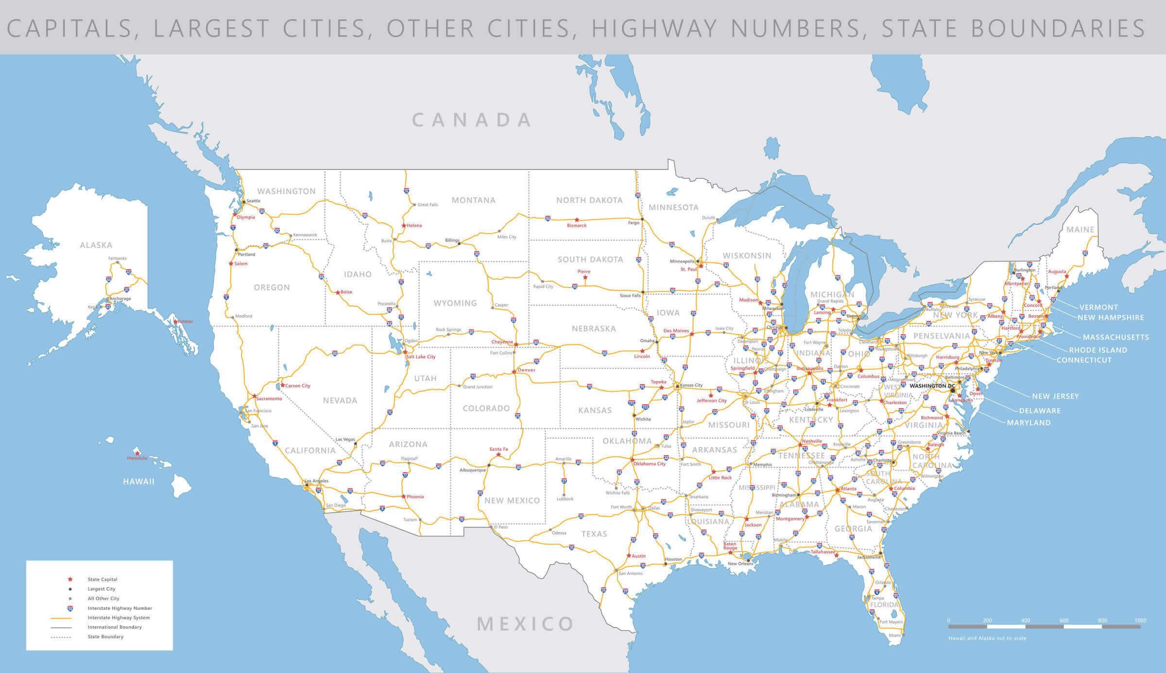
Printable US capitals map
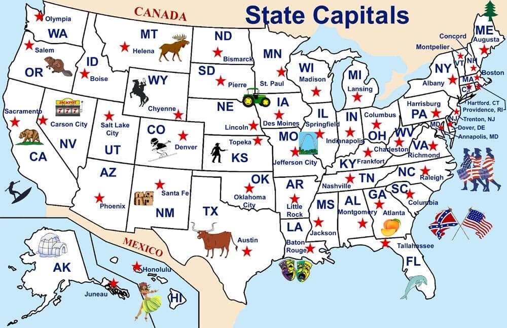
States capital map of the US
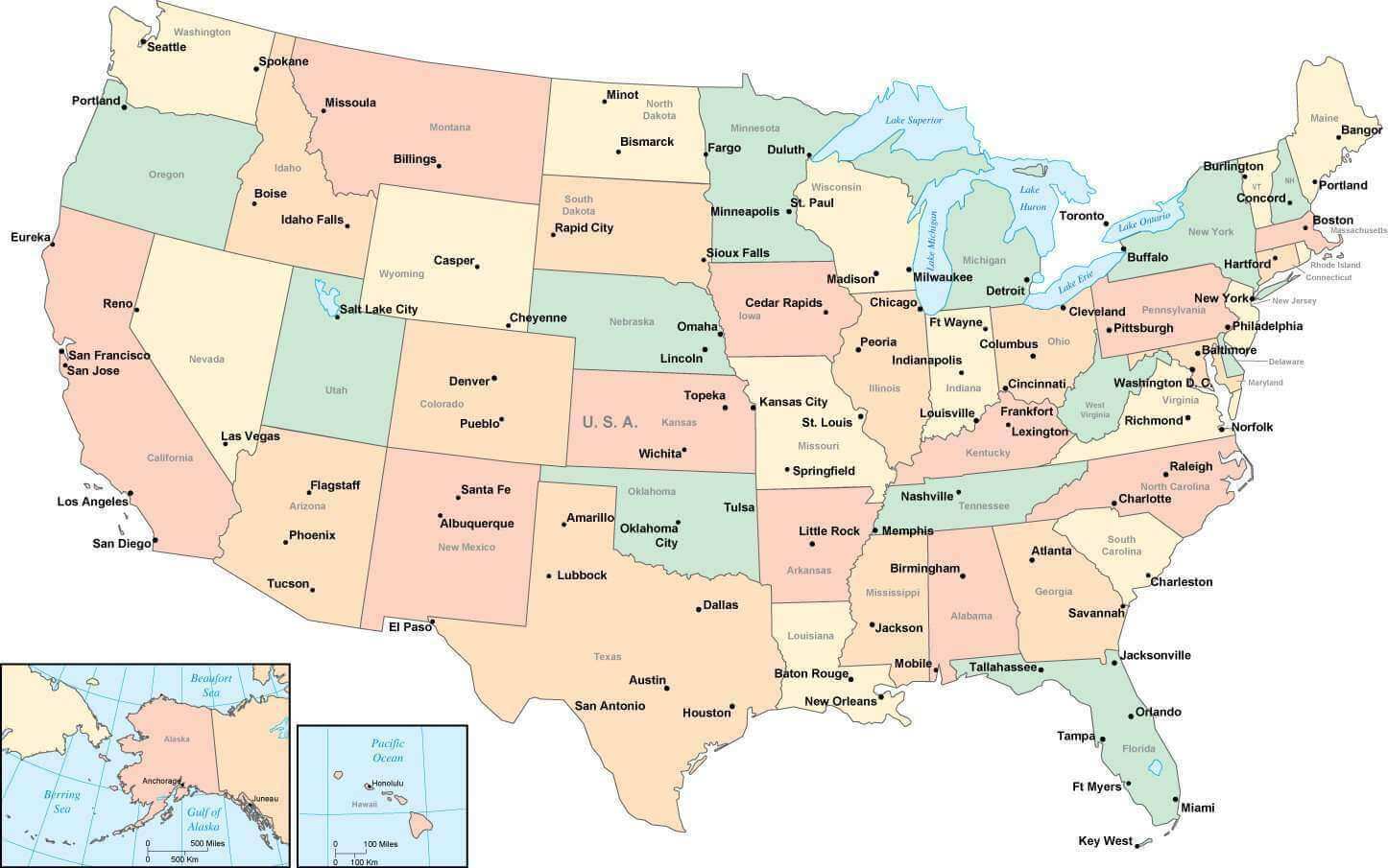
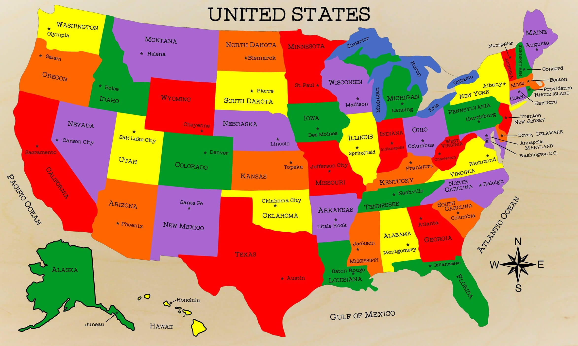
The US states and capitals map
US capitals and major cities map
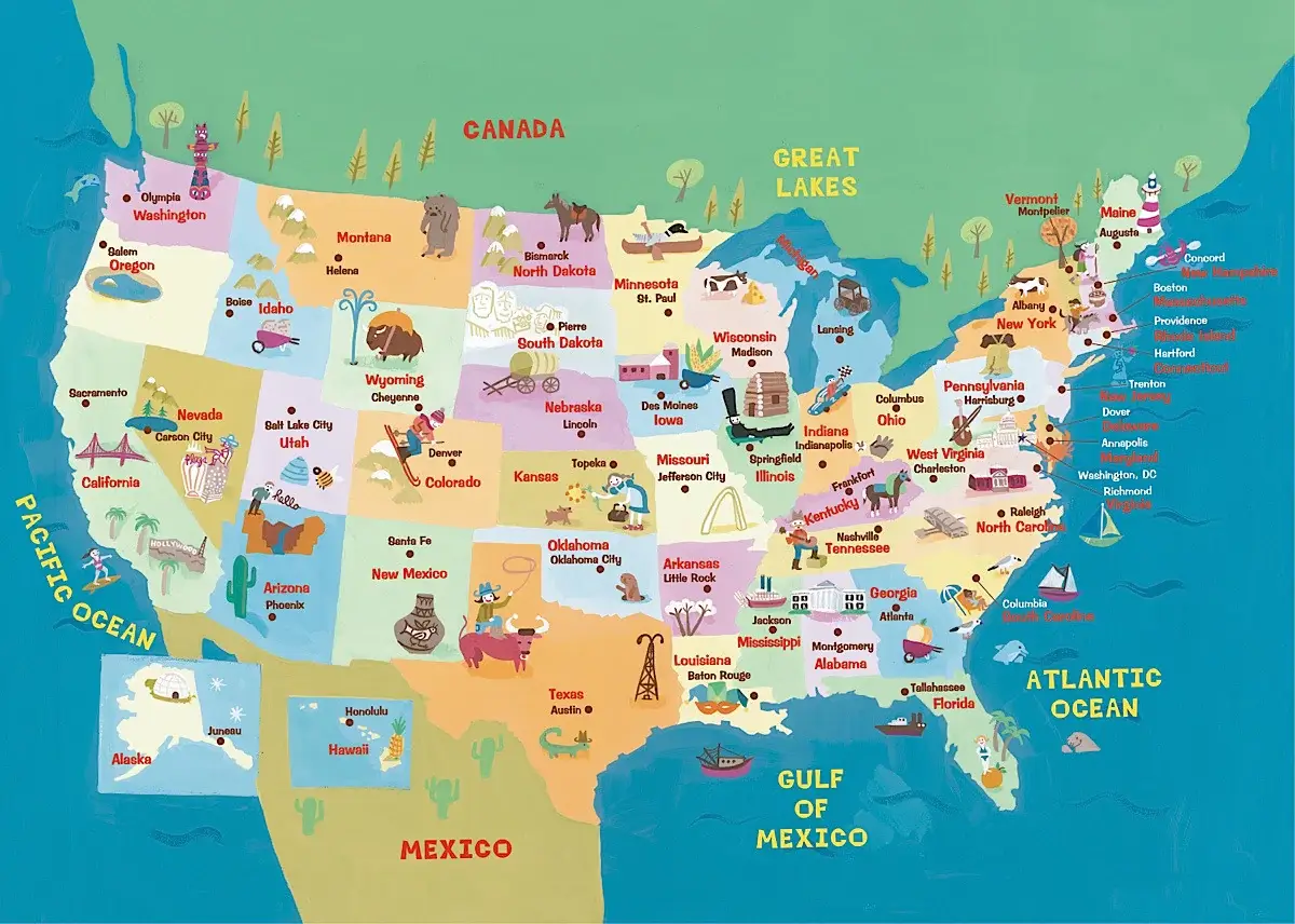
US capitals map by tourism states
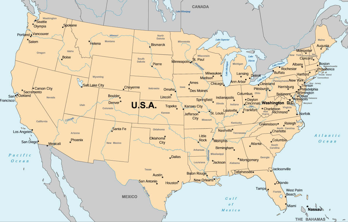
US cities and state capitals map
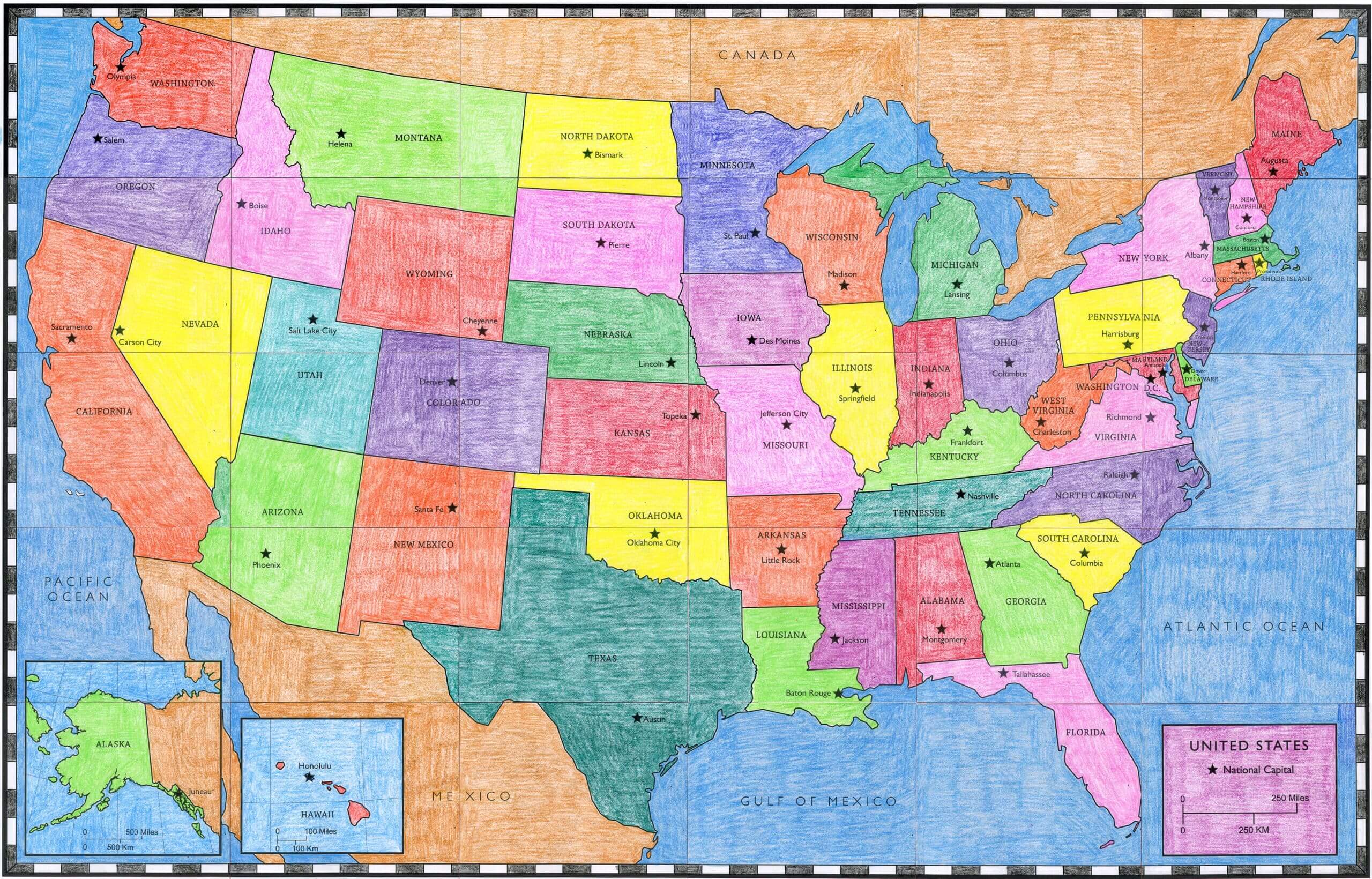
US colored map with state capitals
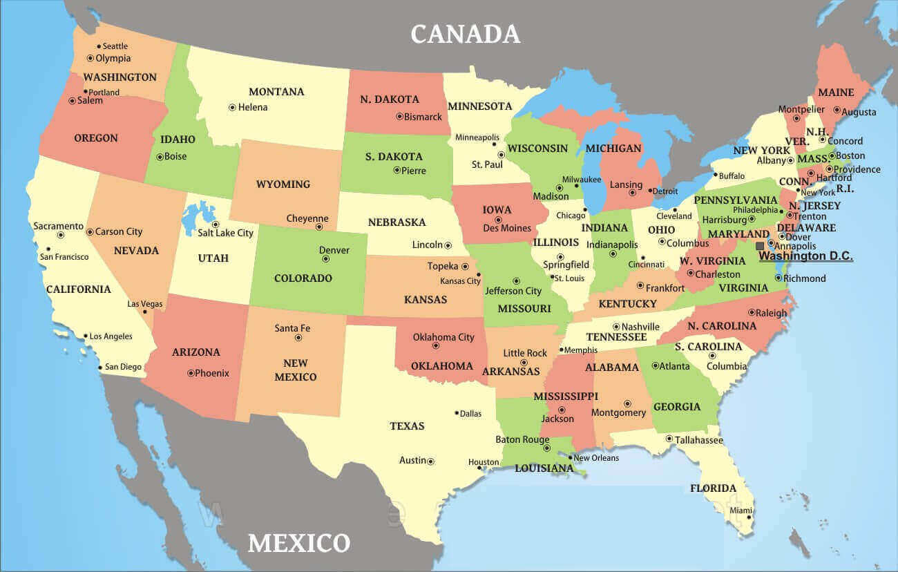
US political map with capital cities
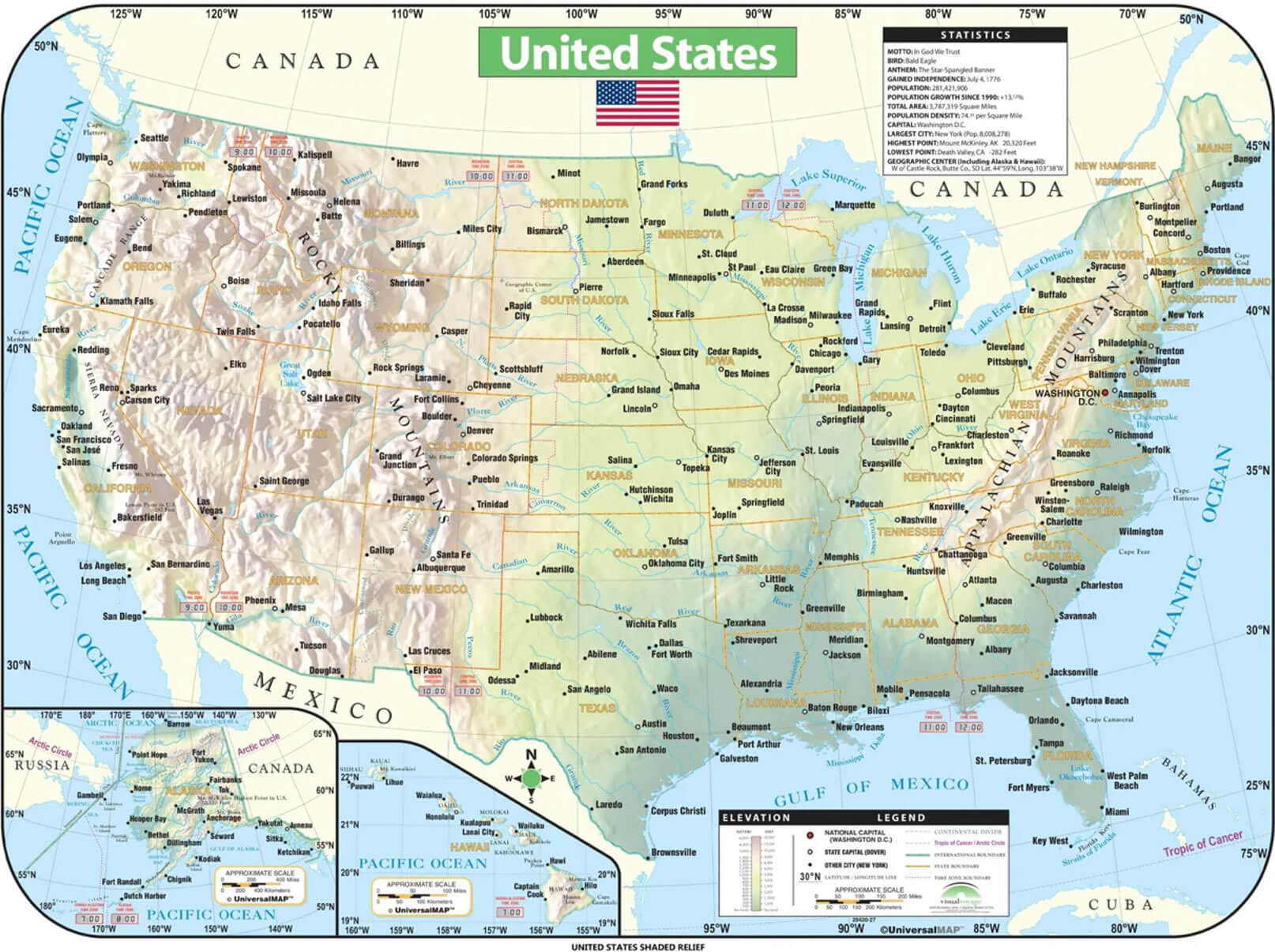
US shaded relief map with states capitals
US states capitals and roads map
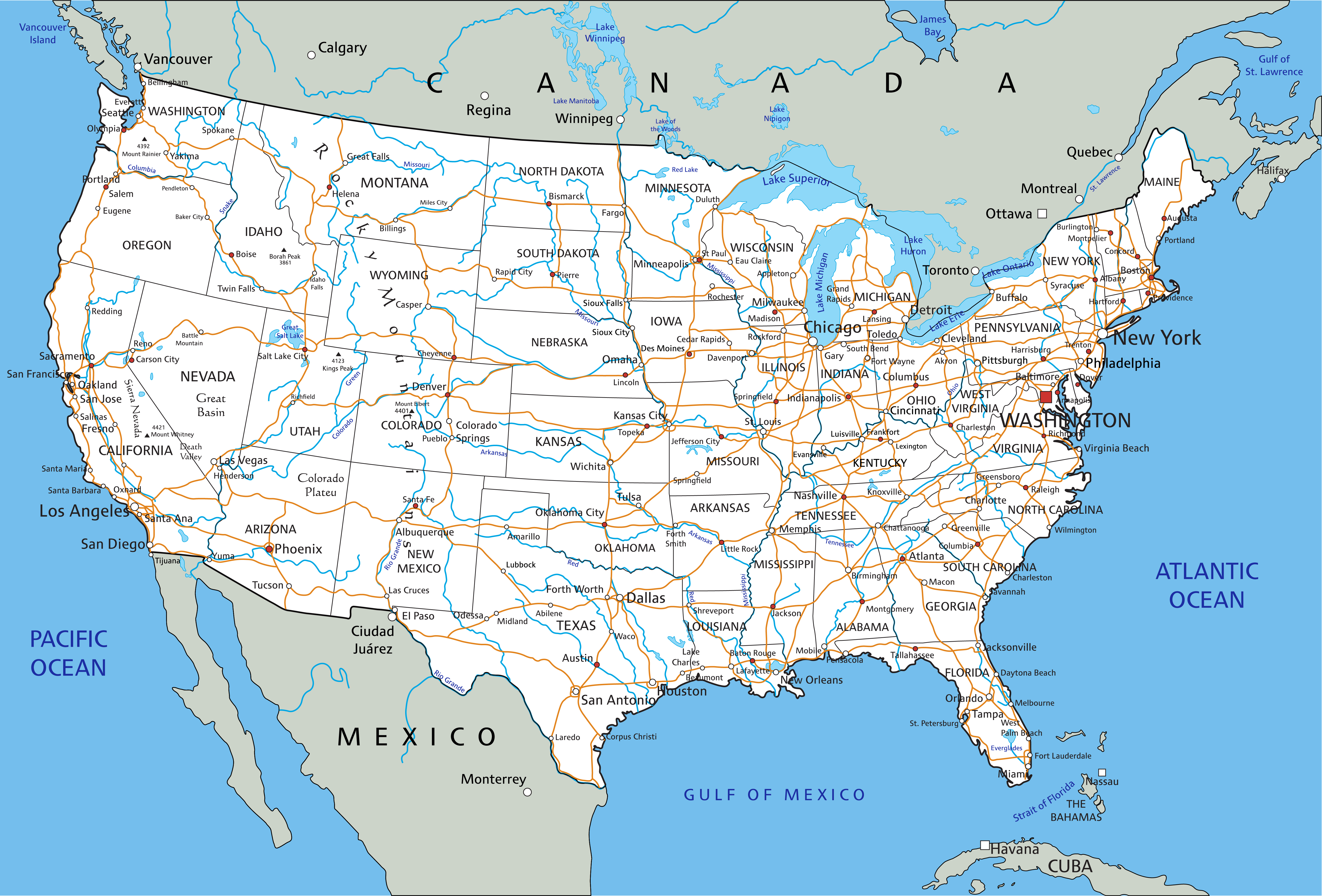
US states cities and capitals map with rivers
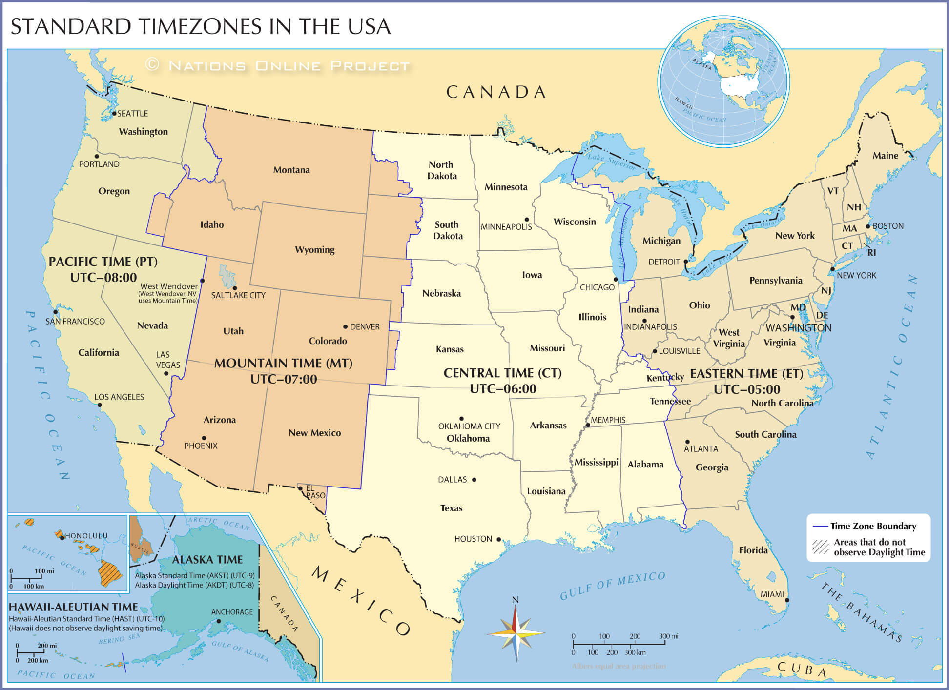
US timezones and state capitals map
US topo map with states capitals
Where is the United States on the World Map?
Show Google map, satellite map, where is the country located.
Get directions by driving, walking, bicycling, public transportation and travel with street view.
Feel free to explore US states maps:
- United States Map ↗️
- US Maps ↗️
- United States Maps ↗️
- Map of United States ↗️
- US States Map ↗️
- Political Map of the US ↗️
- United States Political Map ↗️
- United States Cities Map ↗️
- US Cities Map ↗️
- United States Capitals Map ↗️
- United States Physical Map ↗️
- US High-resolution Map ↗️
- United States High-resolution Map ↗️
- US Physical Map ↗️
- US Population Map ↗️
- United States Population Map ↗️
- US Time Zone Map ↗️
- US Blank Map ↗️
- United States Blank Map ↗️
- Gulf of America (The Gulf of Mexico) Map ↗️
- United States Time Zone Map ↗️
- California Time Zone Map ↗️
- Texas Time Zone Map ↗️
- New York Time Zone Map ↗️
- Florida Time Zone Map ↗️
- California Map ↗️
- Texas Map ↗️
- New York Map ↗️
