- Advertisement -
Browse high-resolution United States maps: states, cities, capitals, physical & political, satellite and topography, highways, borders, geographical insights of the USA, historical and Native American tribes—plus blank maps and versions including Alaska & Hawaii.
High-Resolution United States Map with States and Cities
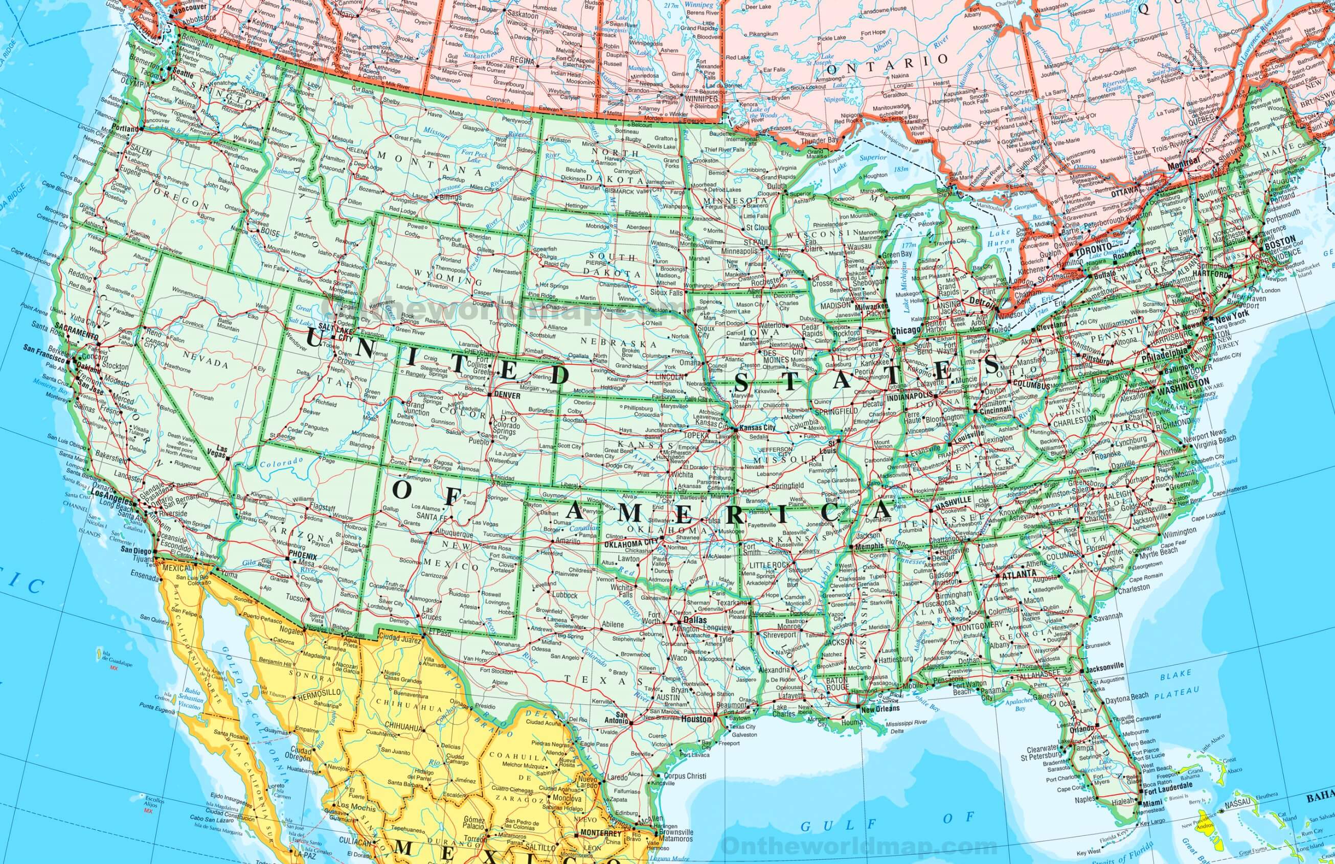 High-resolution map of United States with states and major cities.
High-resolution states map of United States of America
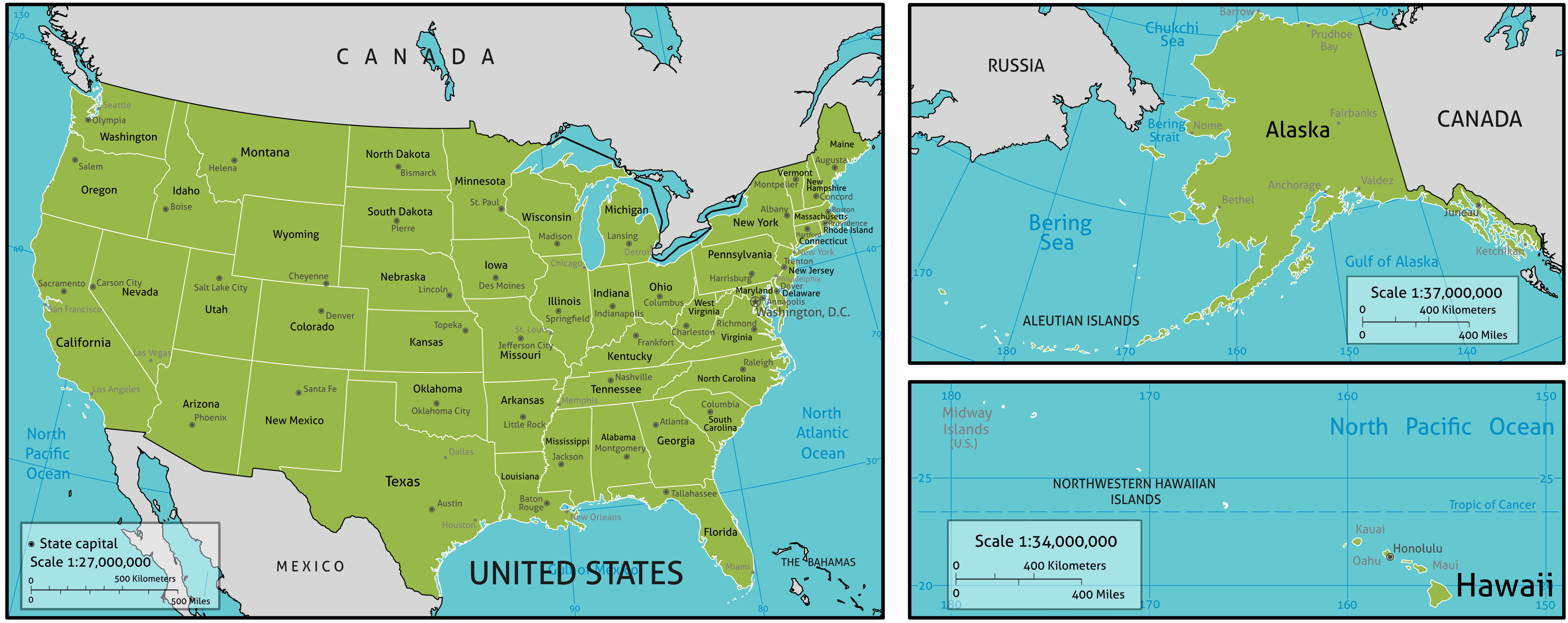
High-resolution the United States map with cities
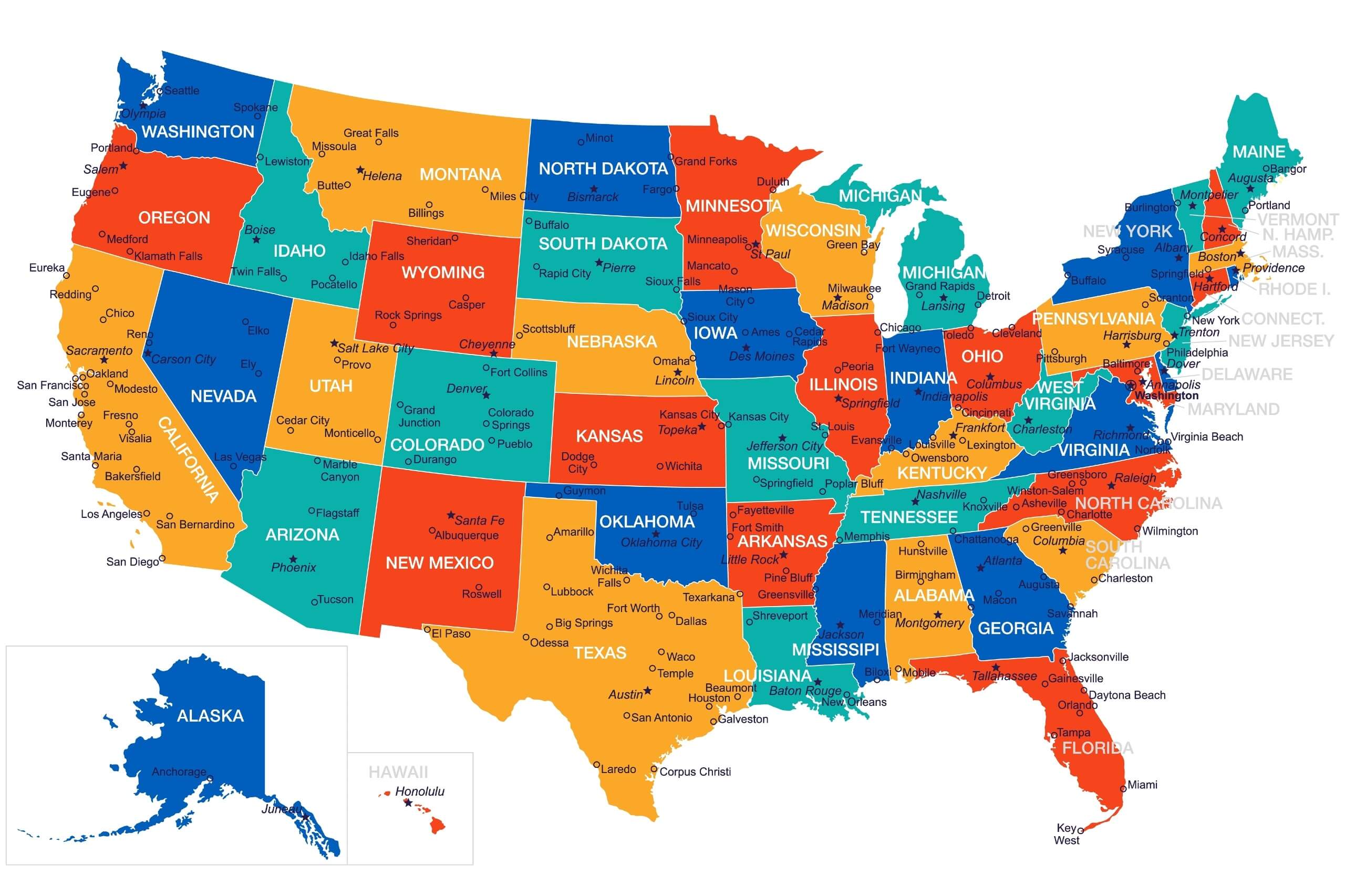
High-resolution United States blank map with Hawaii and Alaska
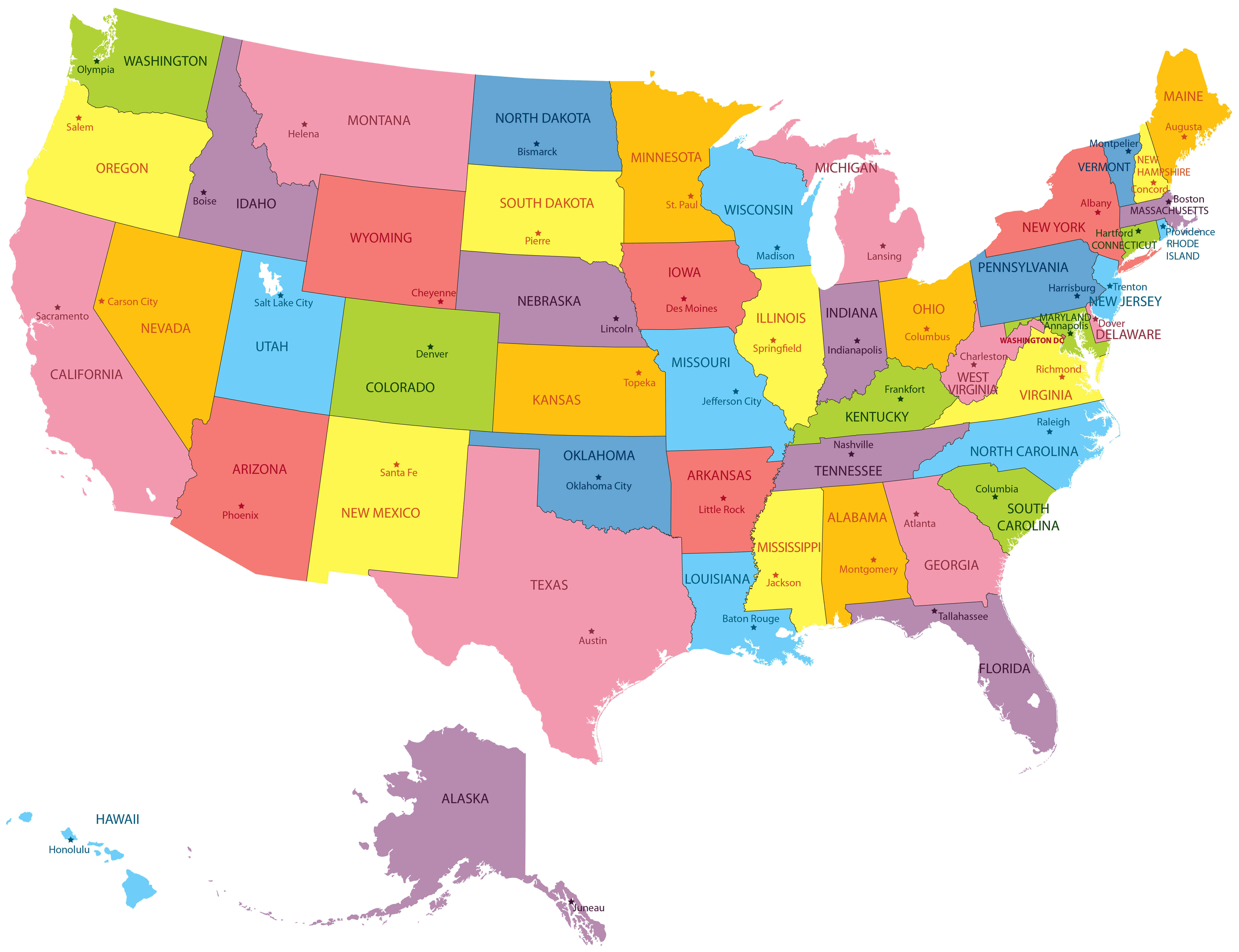
High-resolution United States blank physical map
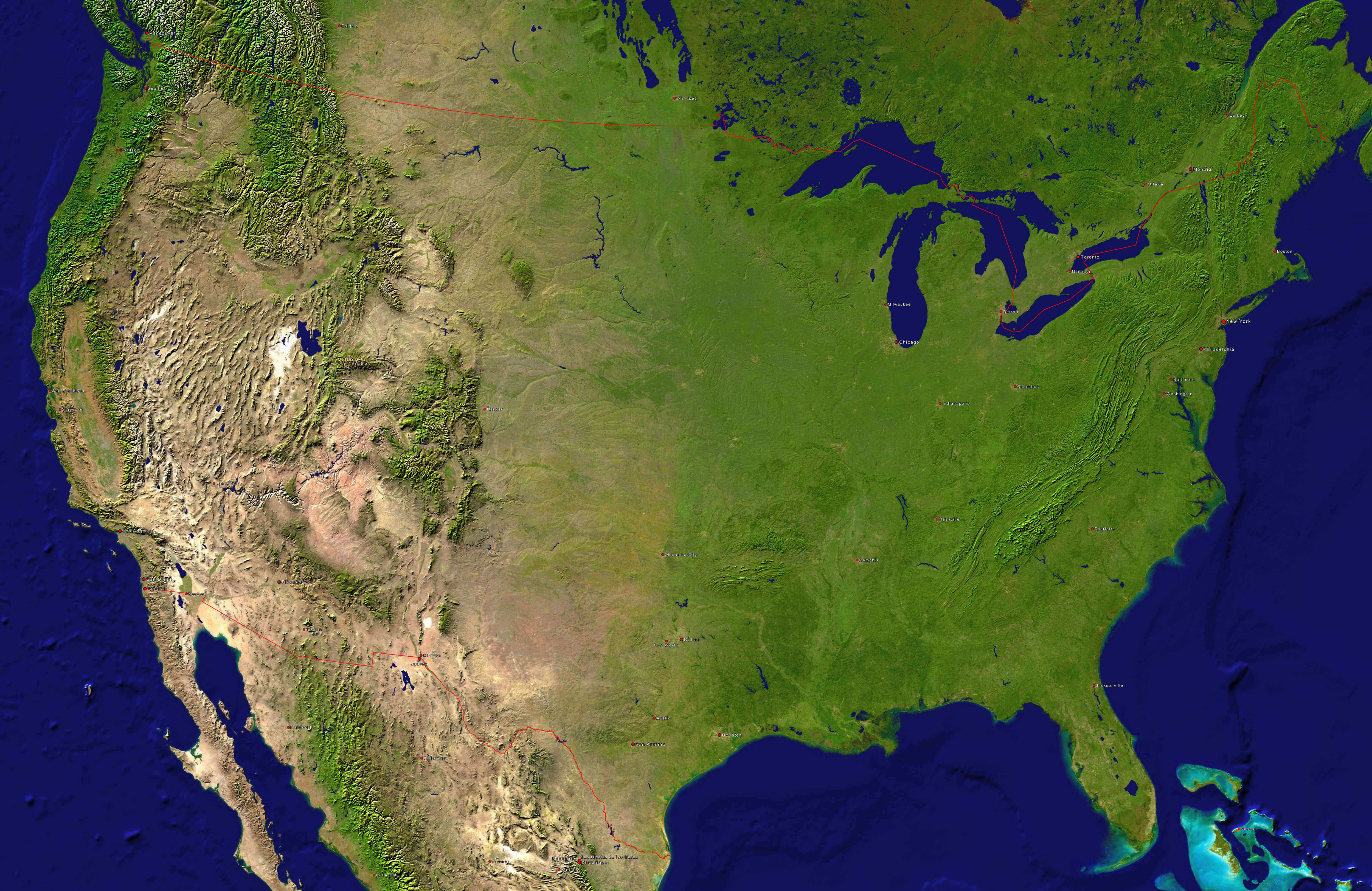
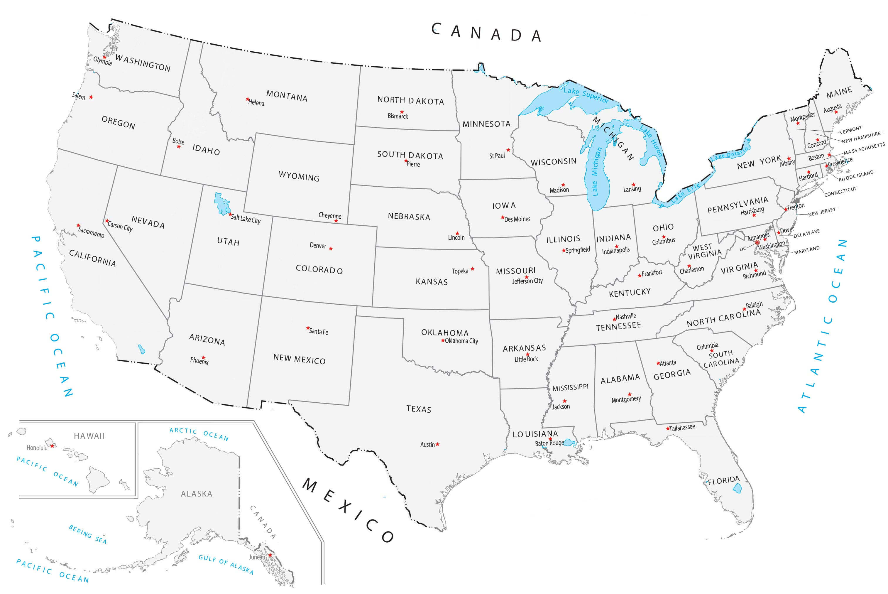
High-resolution United States capitals and main cities map
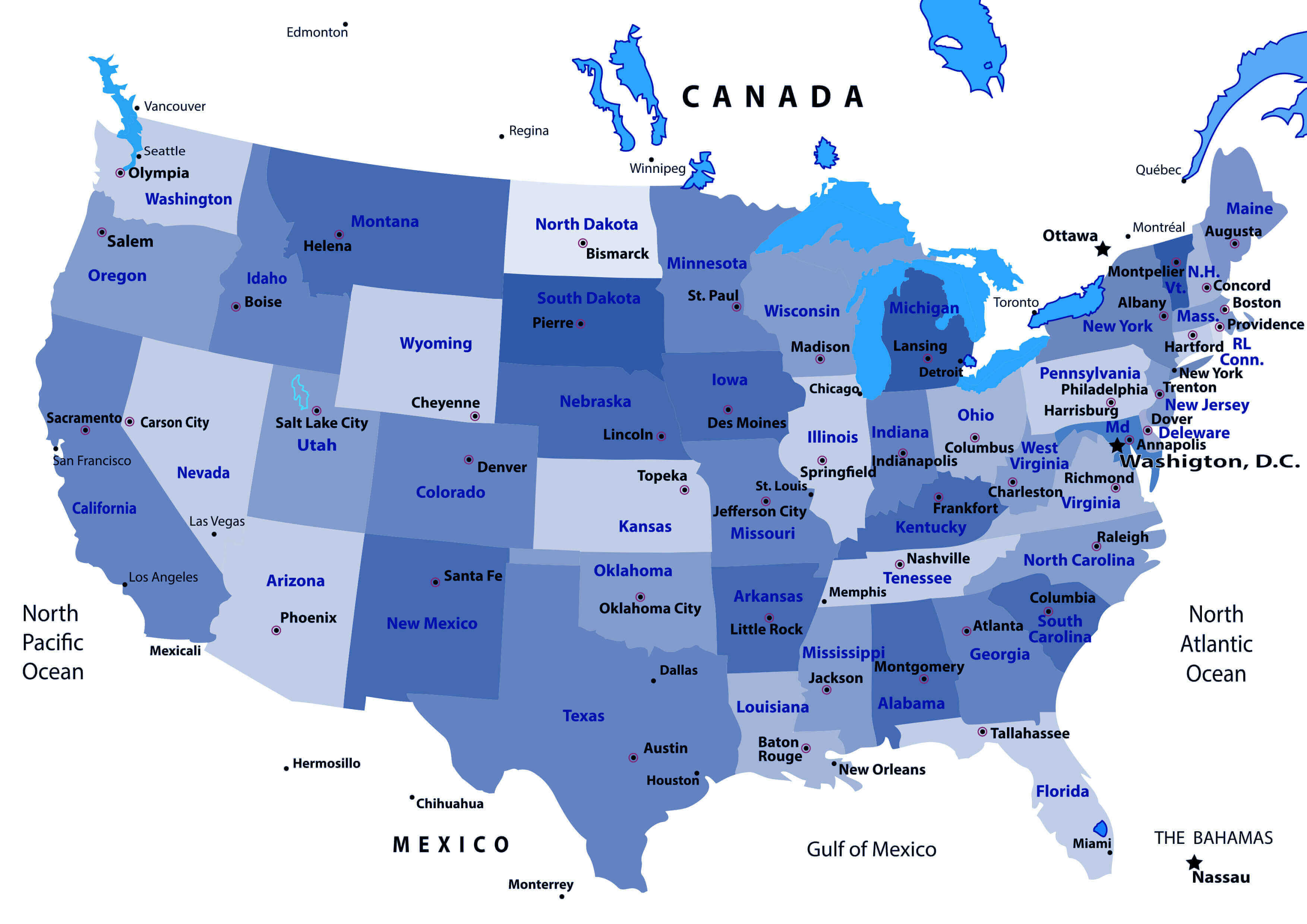
High-resolution United States capitals map
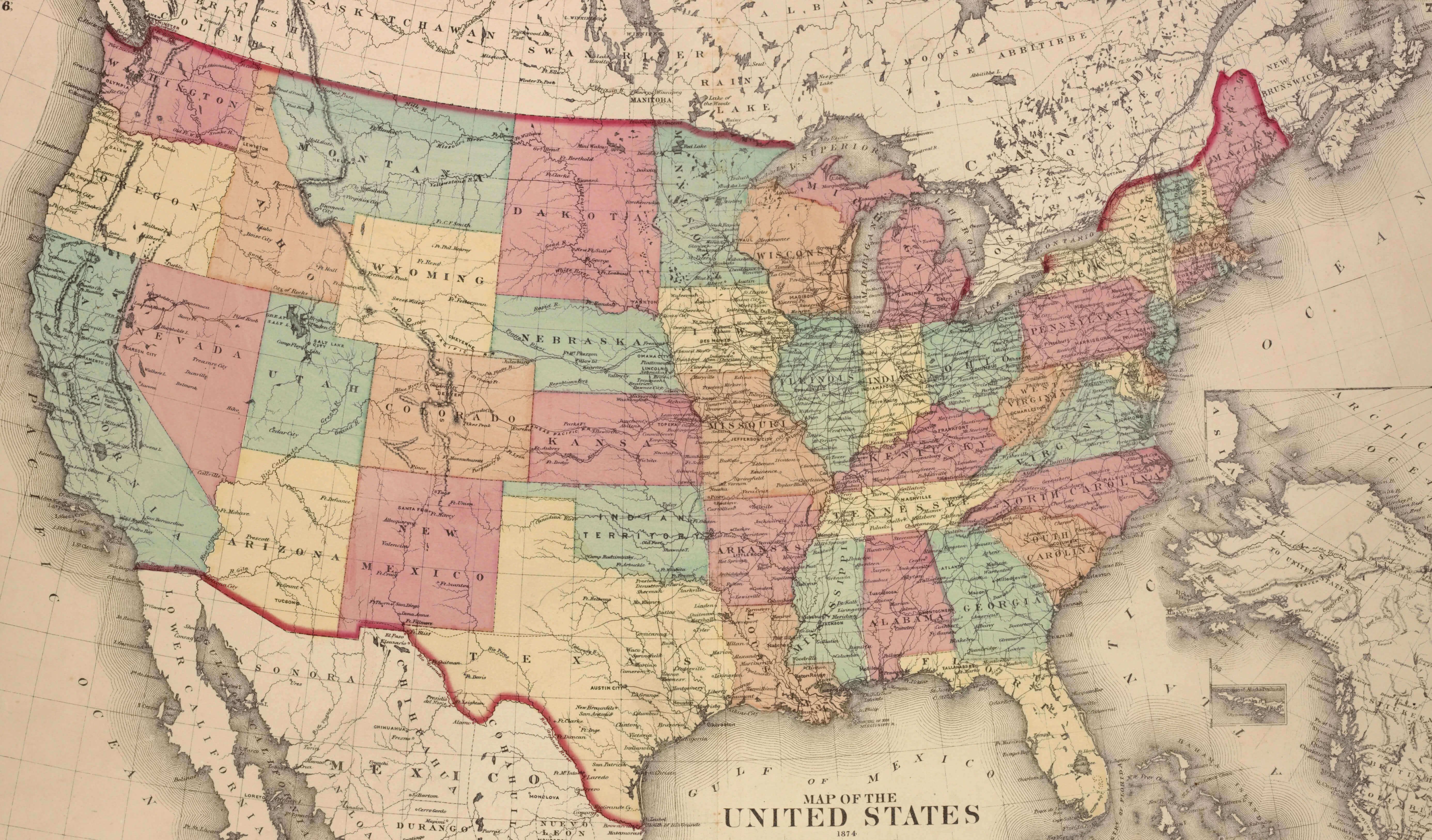
High-resolution United States historical map
High-resolution United States largest cities map
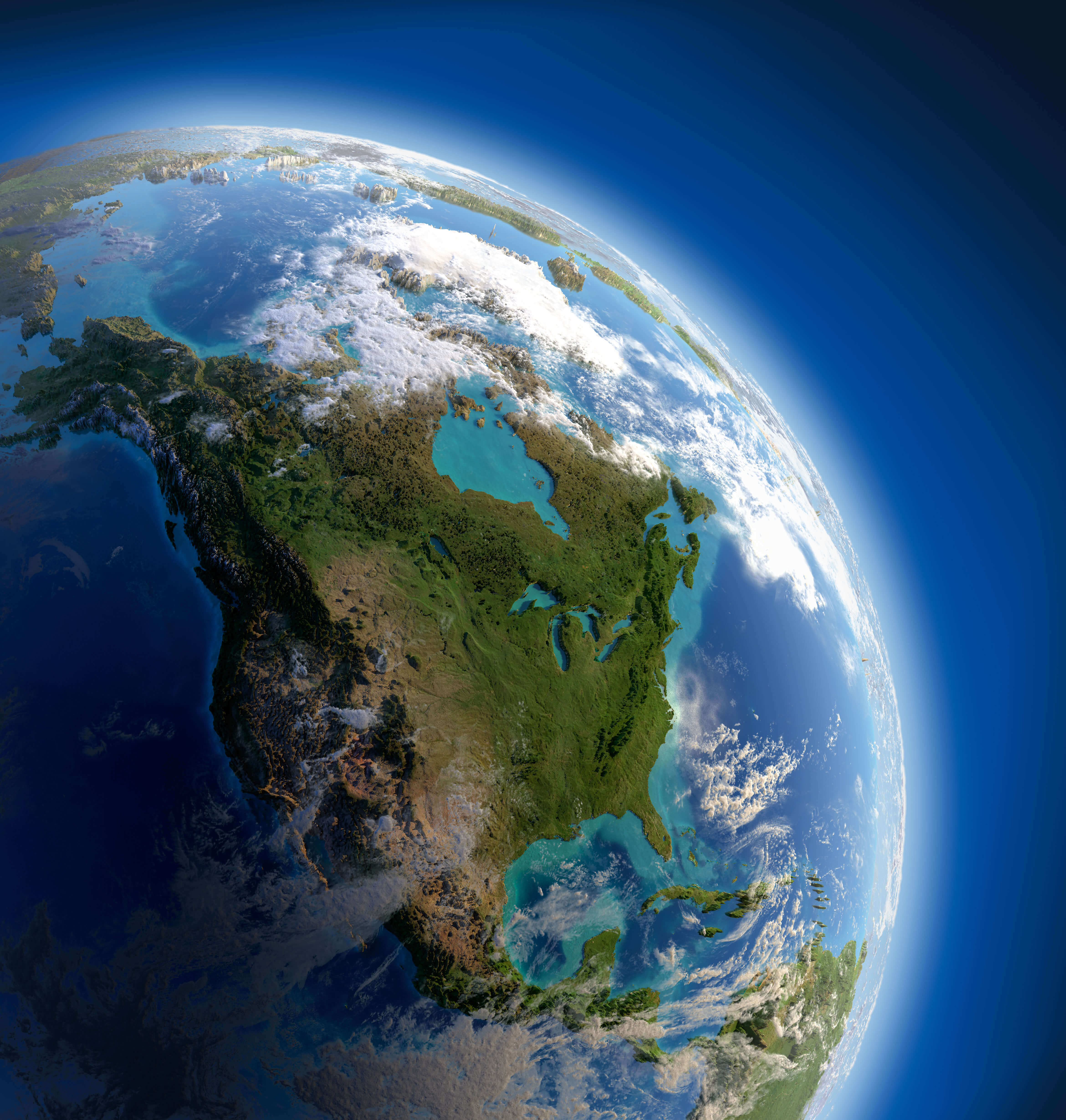
High-resolution United States map from space
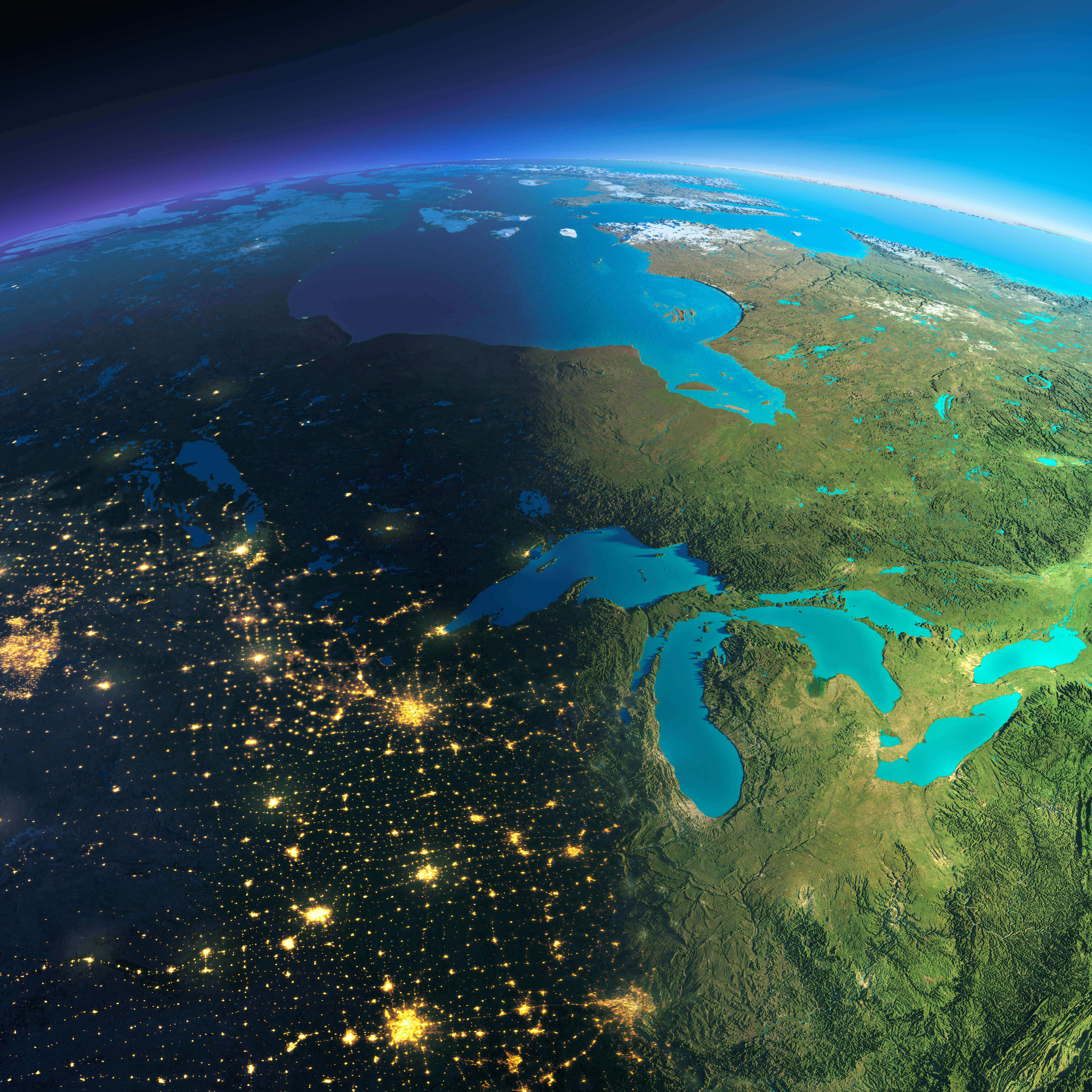
High-resolution United States map in the night
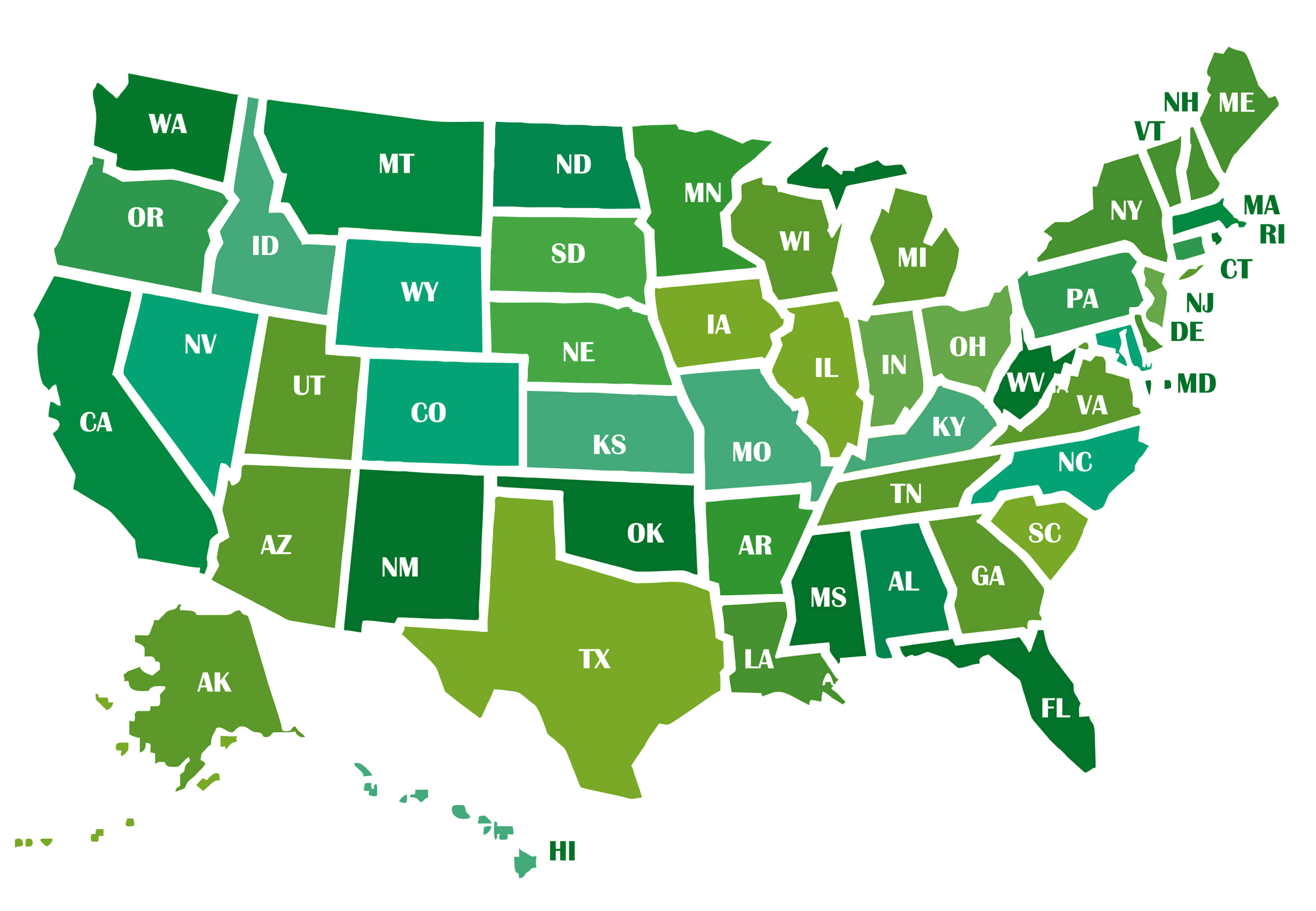
High-resolution United States map with states abbreviations
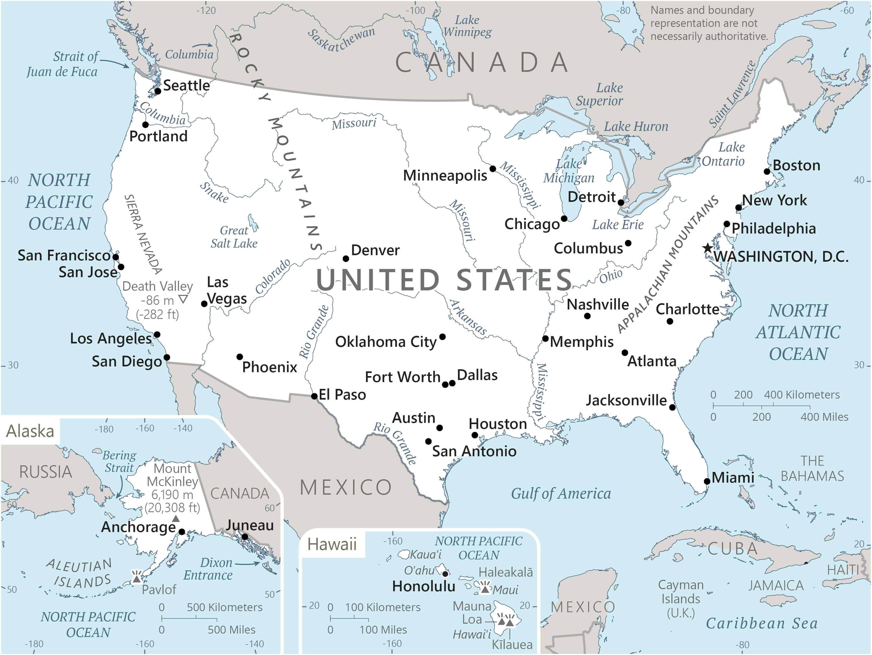
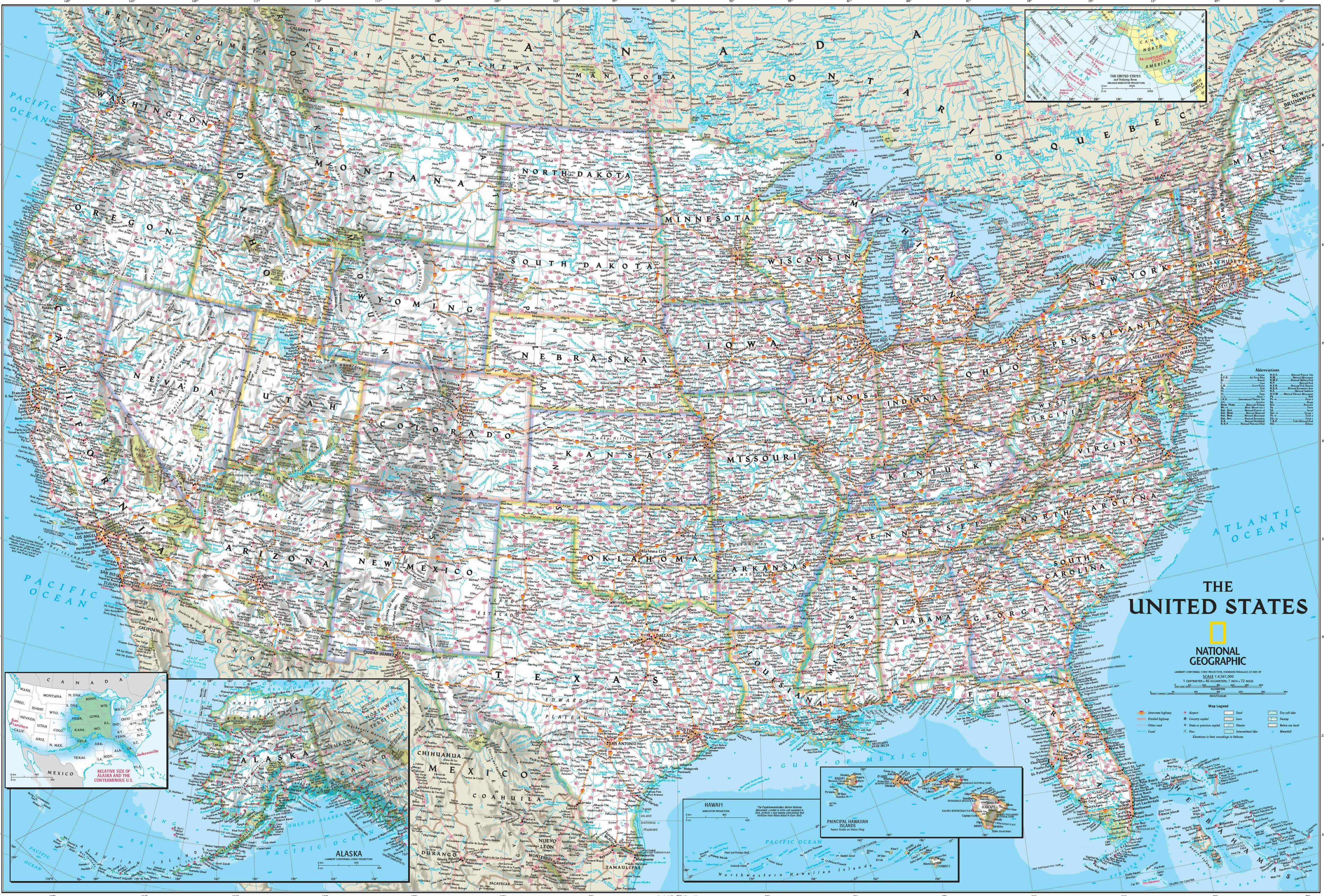
High-resolution United States national geographic map
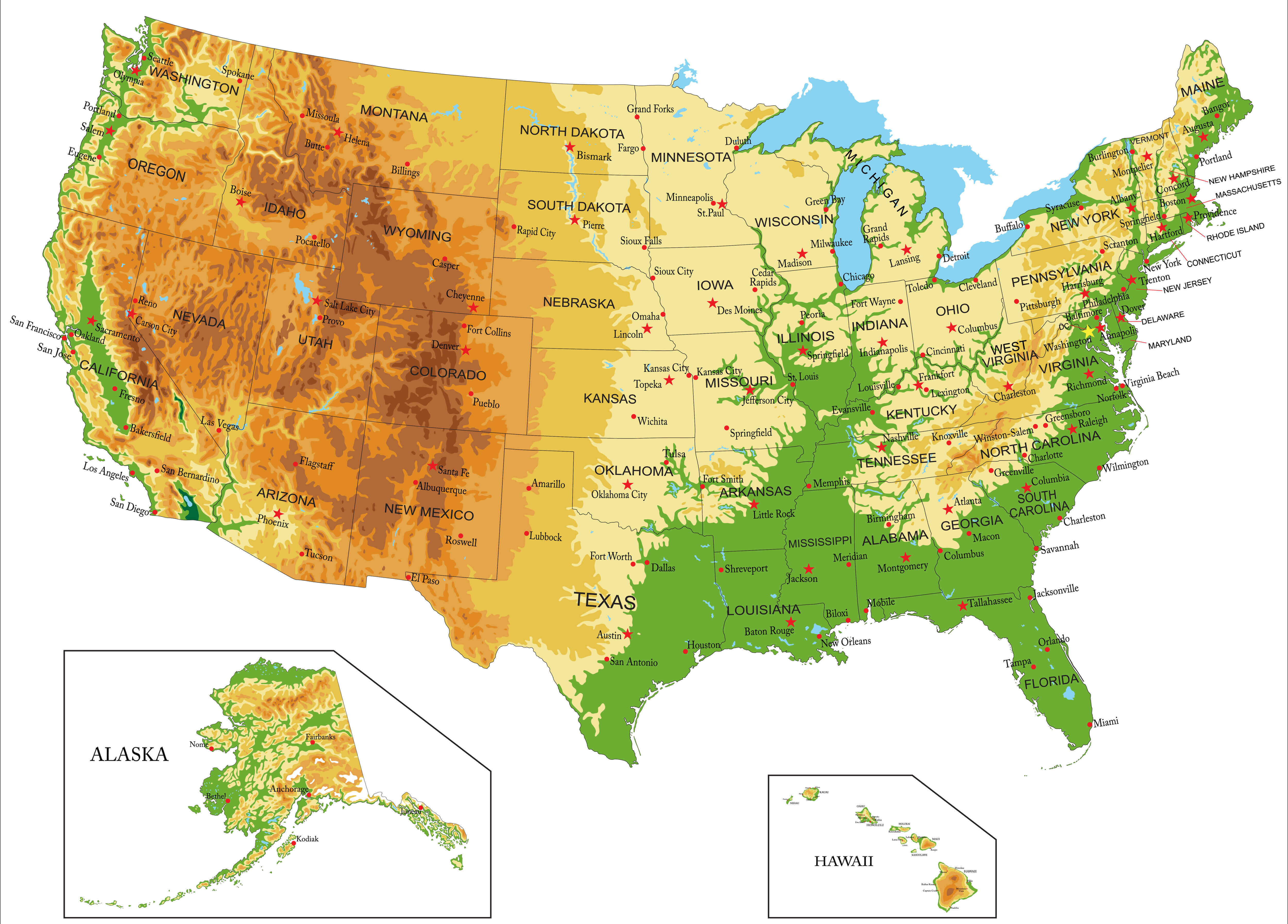
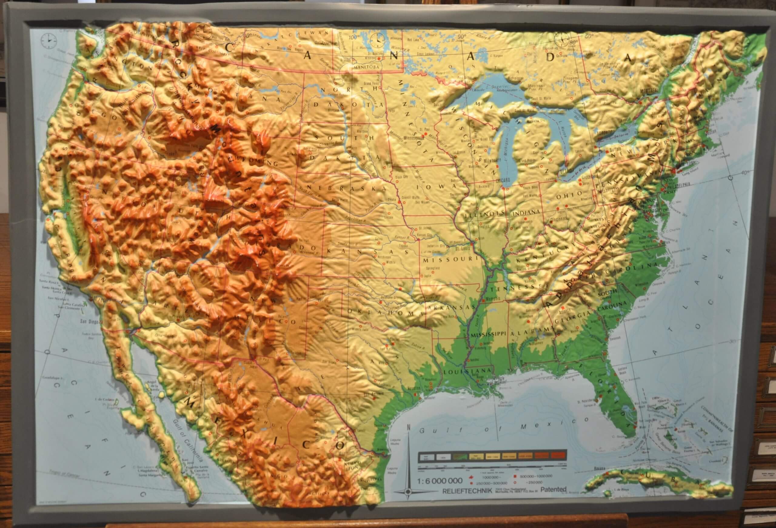
High-resolution United States physical map
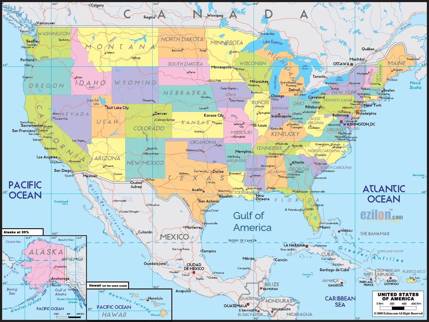
High-resolution United States political map
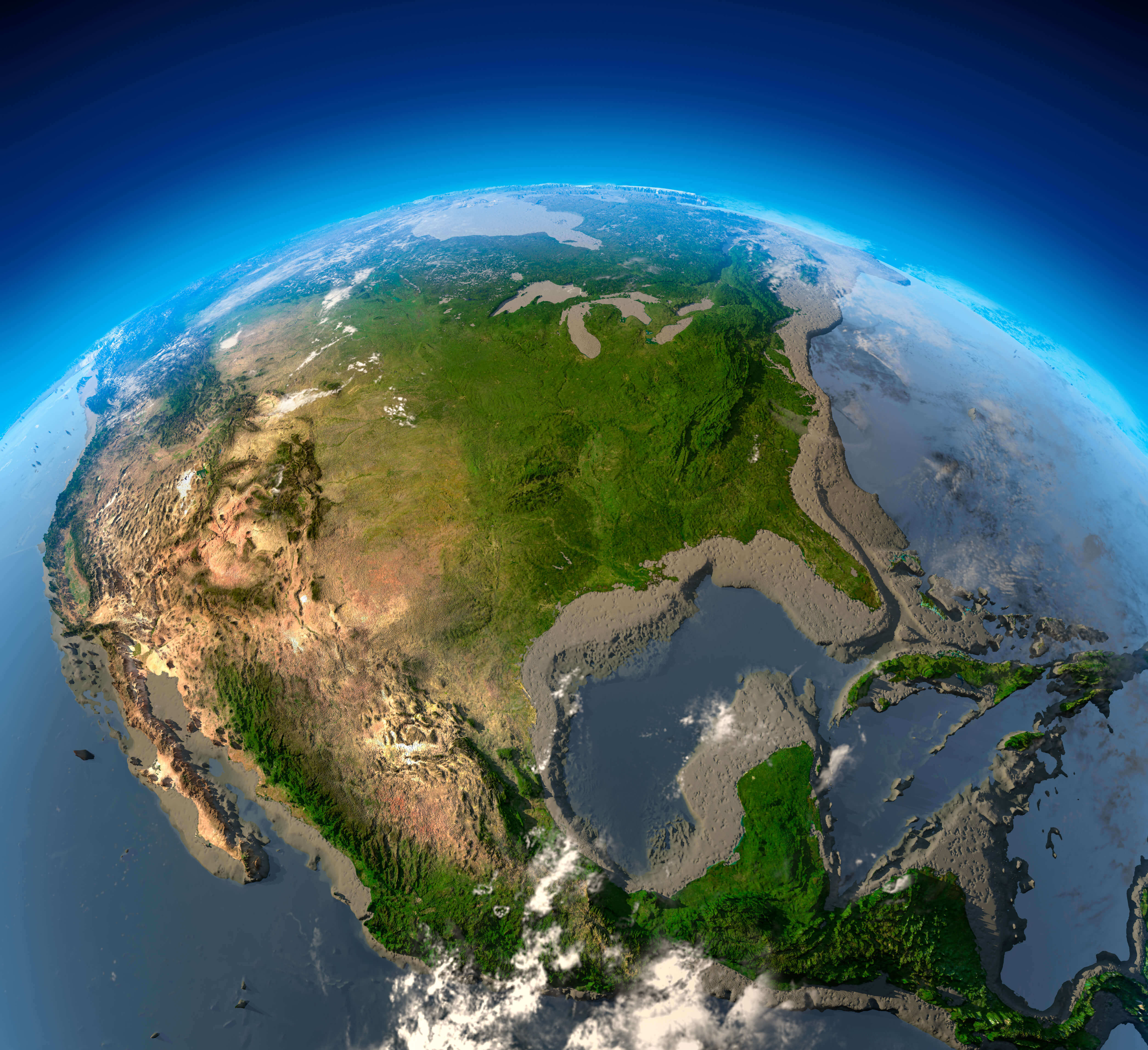
High-resolution United States satellite image

High-resolution United States satellite map
High-resolution United States topography map
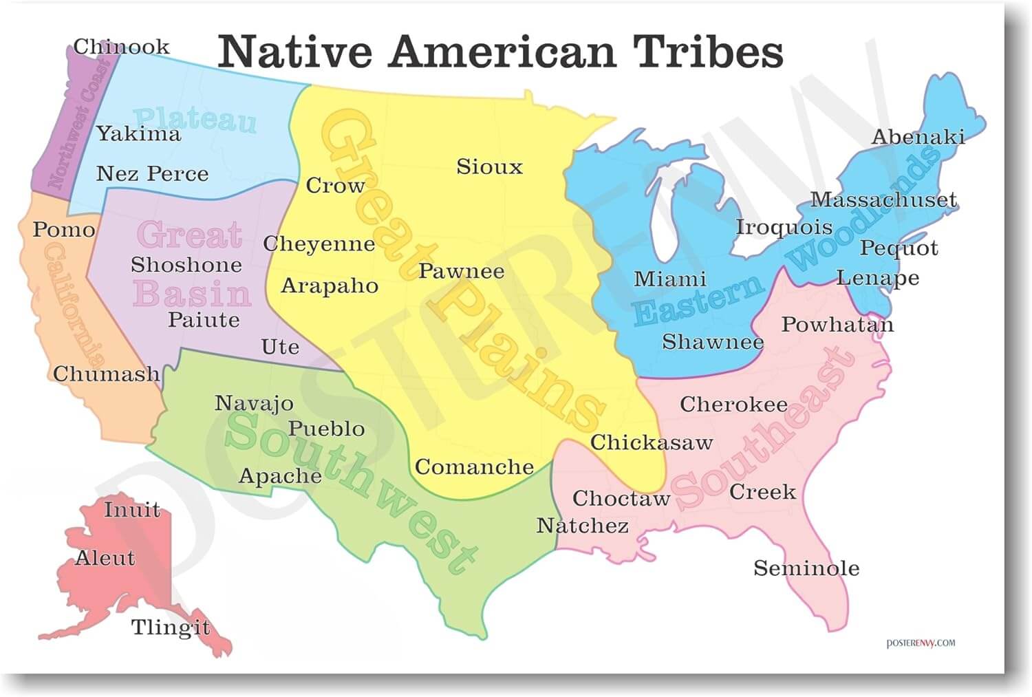
United States native american tribes map
Where is the United States on the World Map?
Show Google map, satellite map, where is the country located.
Get directions by driving, walking, bicycling, public transportation and travel with street view.
Feel free to explore US states maps:
- United States Map ↗️
- US Maps ↗️
- United States Maps ↗️
- Map of United States ↗️
- US States Map ↗️
- United States States Map ↗️
- United States Cities Map ↗️
- US Cities Map ↗️
- Political Map of the US ↗️
- United States Political Map ↗️
- US Physical Map ↗️
- United States Physical Map ↗️
- US High-resolution Map ↗️
- US Population Map ↗️
- United States Population Map ↗️
- US Time Zone Map ↗️
- US Blank Map ↗️
- United States Blank Map ↗️
- Gulf of America (The Gulf of Mexico) Map ↗️
- United States Time Zone Map ↗️
- California Time Zone Map ↗️
- Texas Time Zone Map ↗️
- New York Time Zone Map ↗️
- Florida Time Zone Map ↗️
- California Map ↗️
- Texas Map ↗️
- New York Map ↗️
- Florida Map ↗️
- Illinois Map ↗️
- Pennsylvania Map ↗️
- Ohio Map ↗️
- Michigan Map ↗️
- Georgia Map ↗️
- New Jersey Map ↗️
- North Carolina Map ↗️
- Virginia Map ↗️
- Massachusetts Map ↗️
- North America Map ↗️
- Advertisement -
