- Advertisement -
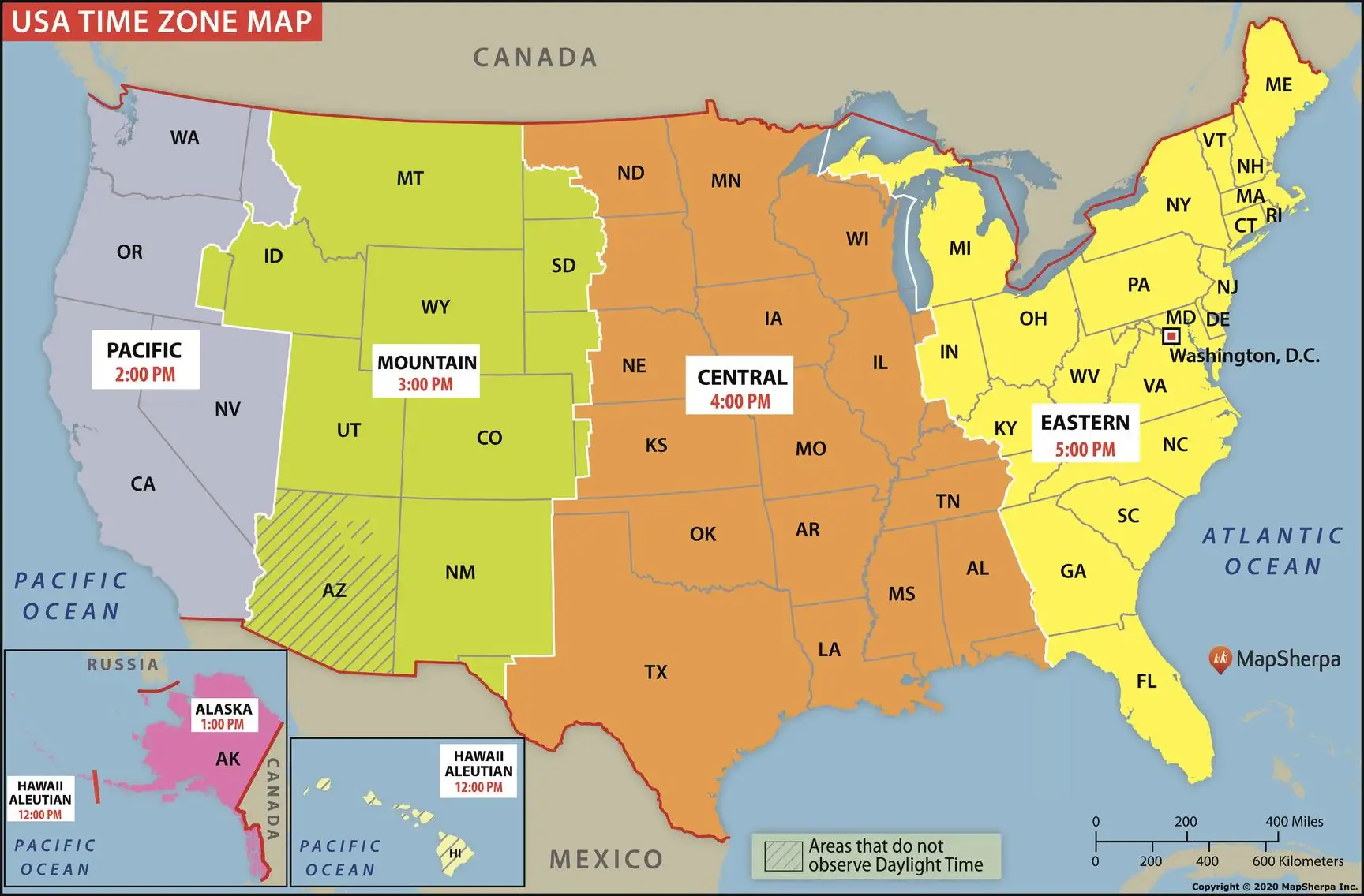
See the Texas time zone map, showing Central and Mountain Time regions. Learn the UTC offset, Daylight Saving changes, and local time differences across Texas.
A Texas time zone map shows that most of the state lies in the Central Time Zone (CT), with a small portion in the western area, including El Paso and Hudspeth counties, falling under the Mountain Time Zone (MT). This division means Texas can be either UTC-6 or UTC-7, shifting one hour forward during Daylight Saving Time.
Texas USA Time Zones Map with States
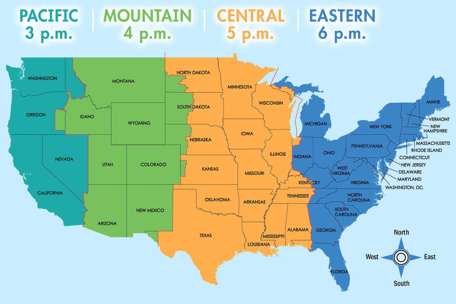 Texas USA map showing Central and Mountain time zones with surrounding states.
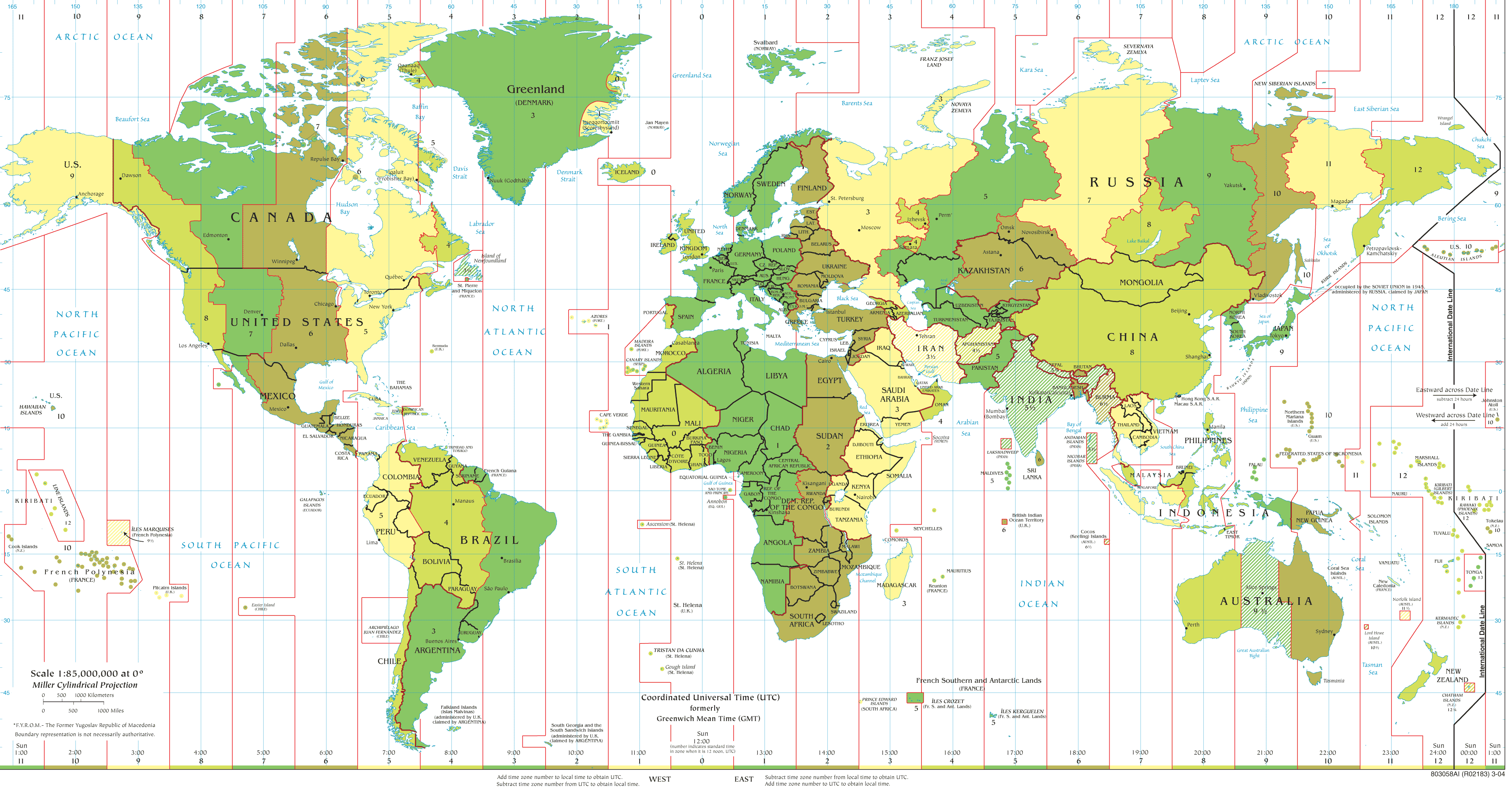
Texas and time zones map of the World
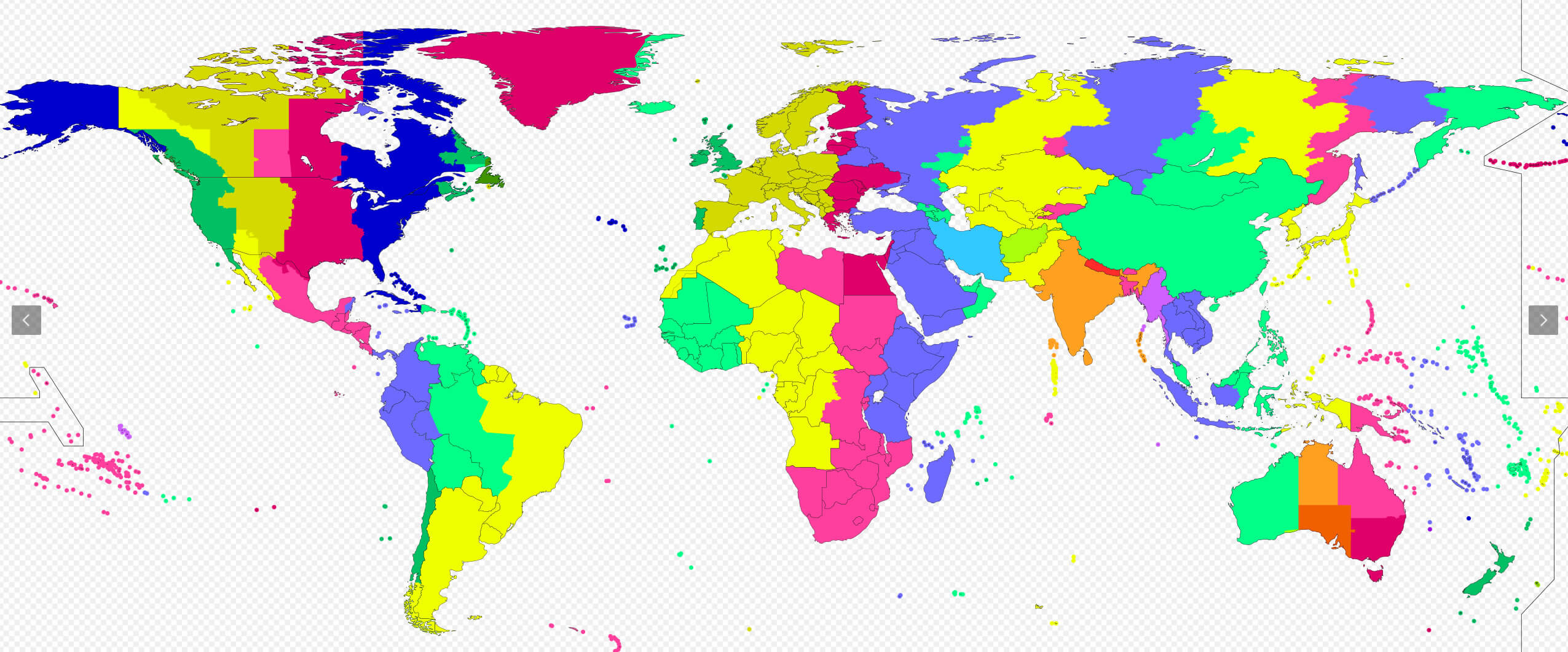
Texas mountain time zone map in the US
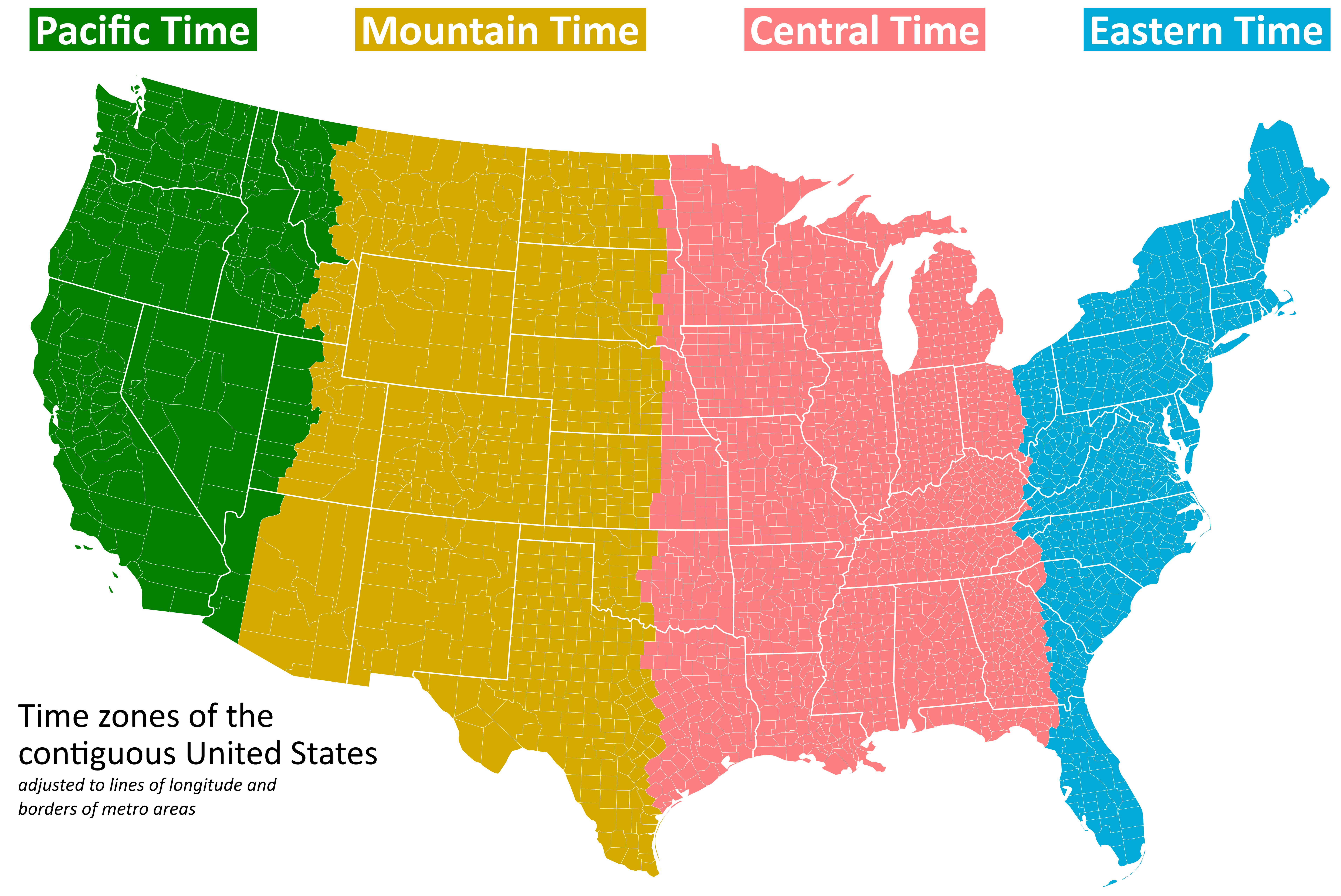
Texas standard time zones map of the United States
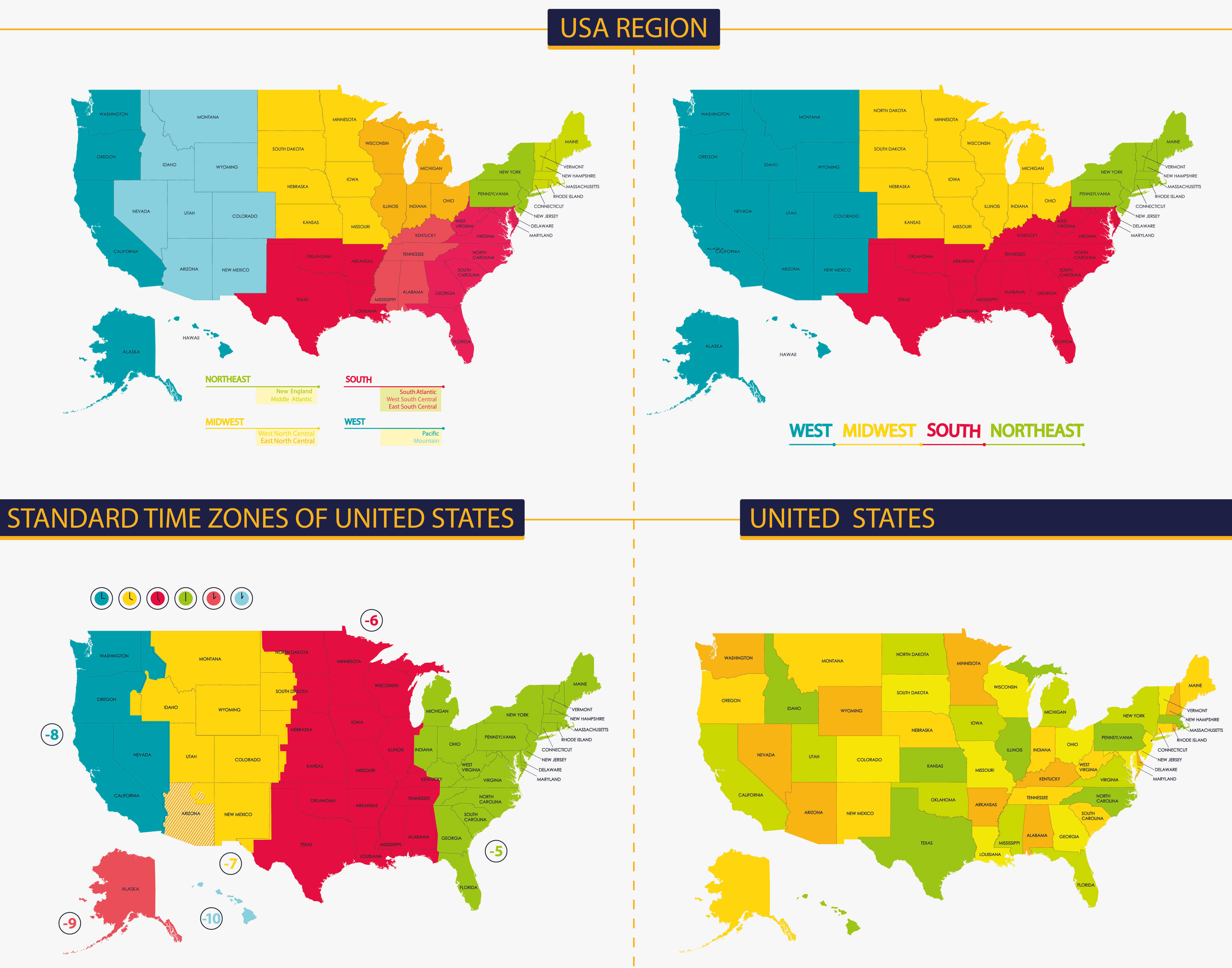
Texas time zones map of the United States
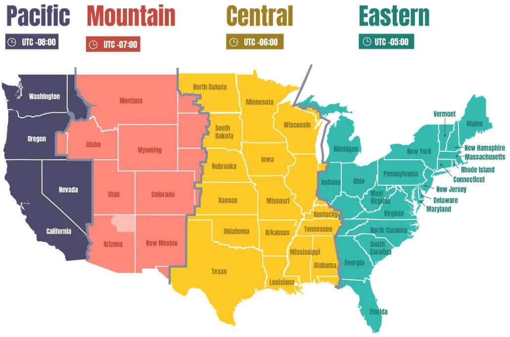
Texas time zones map
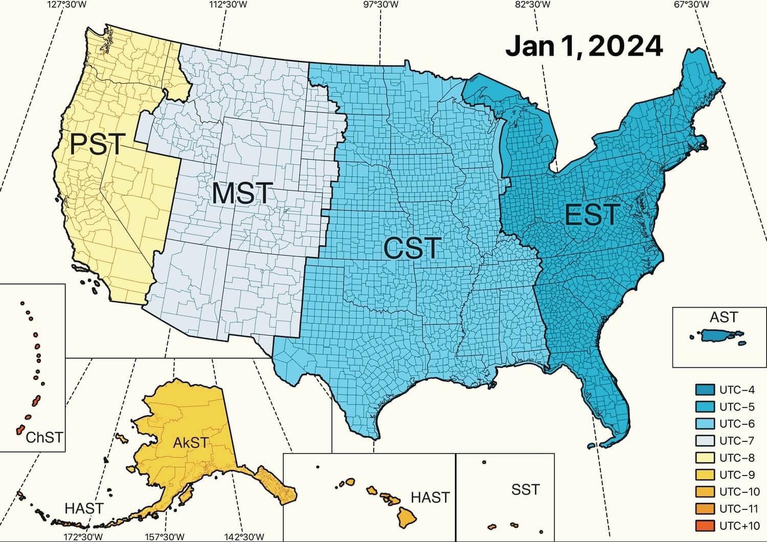
Texas US time zones map with states
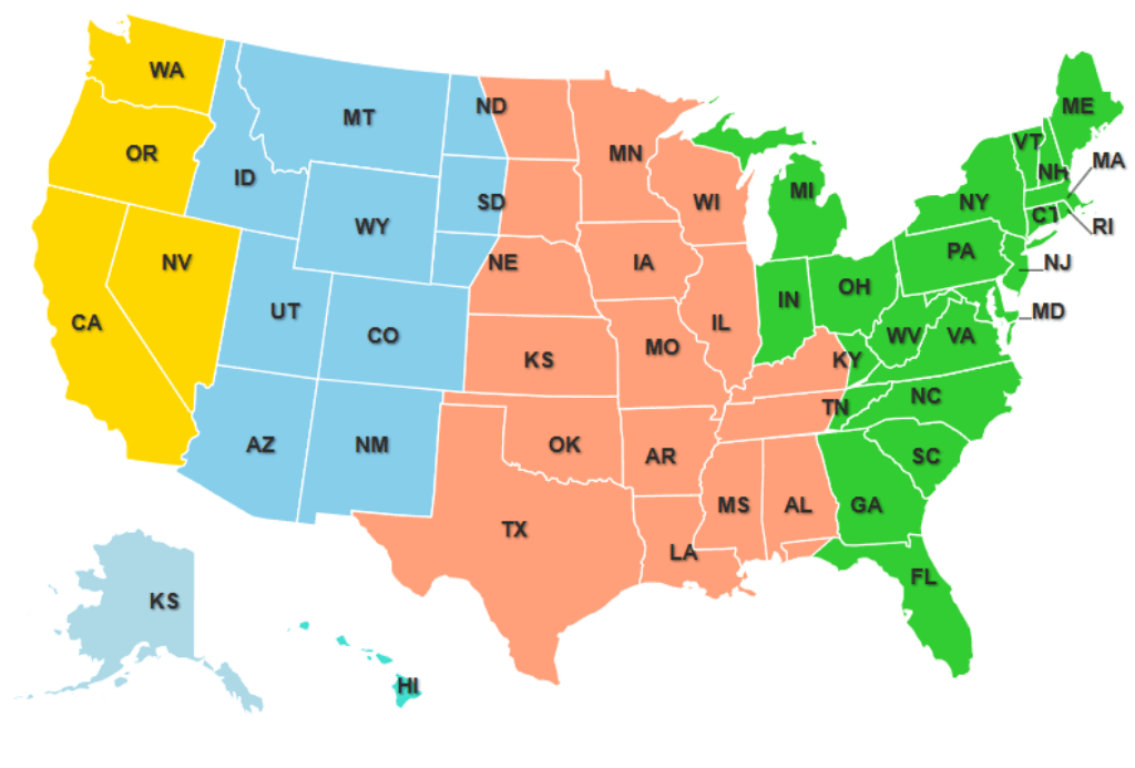
Texas USA time zone map
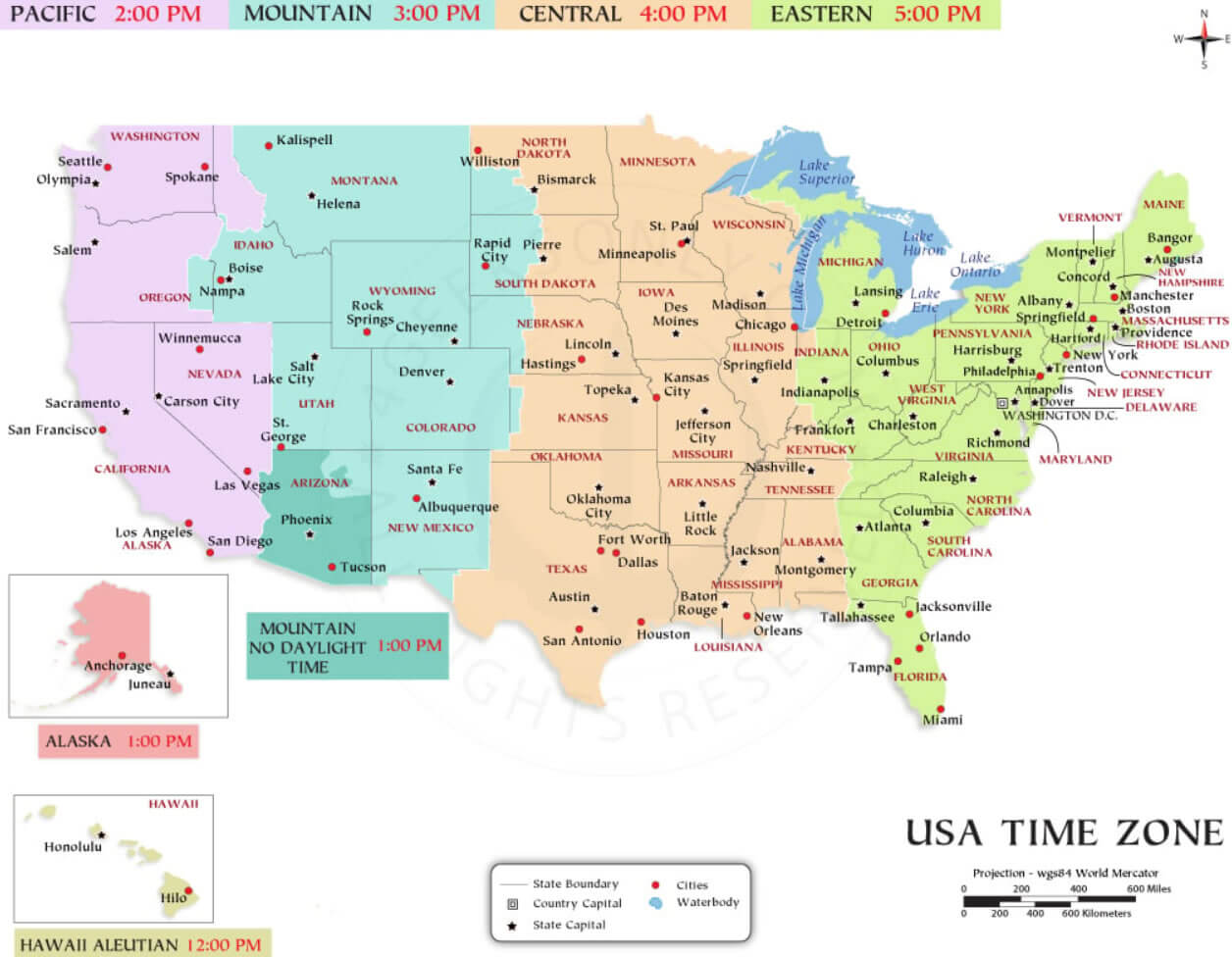
US time zone map with Texas
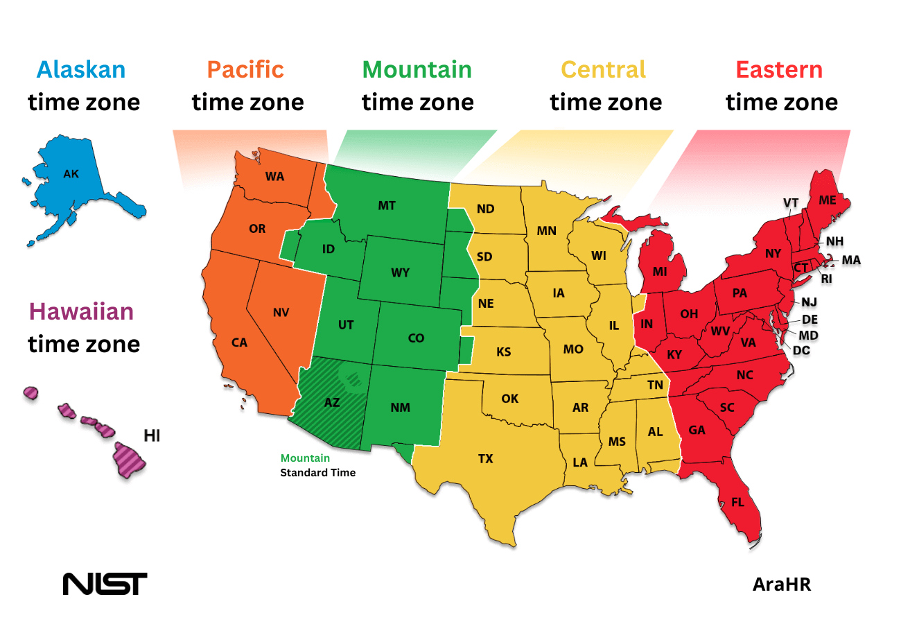
USA time zone map with Texas
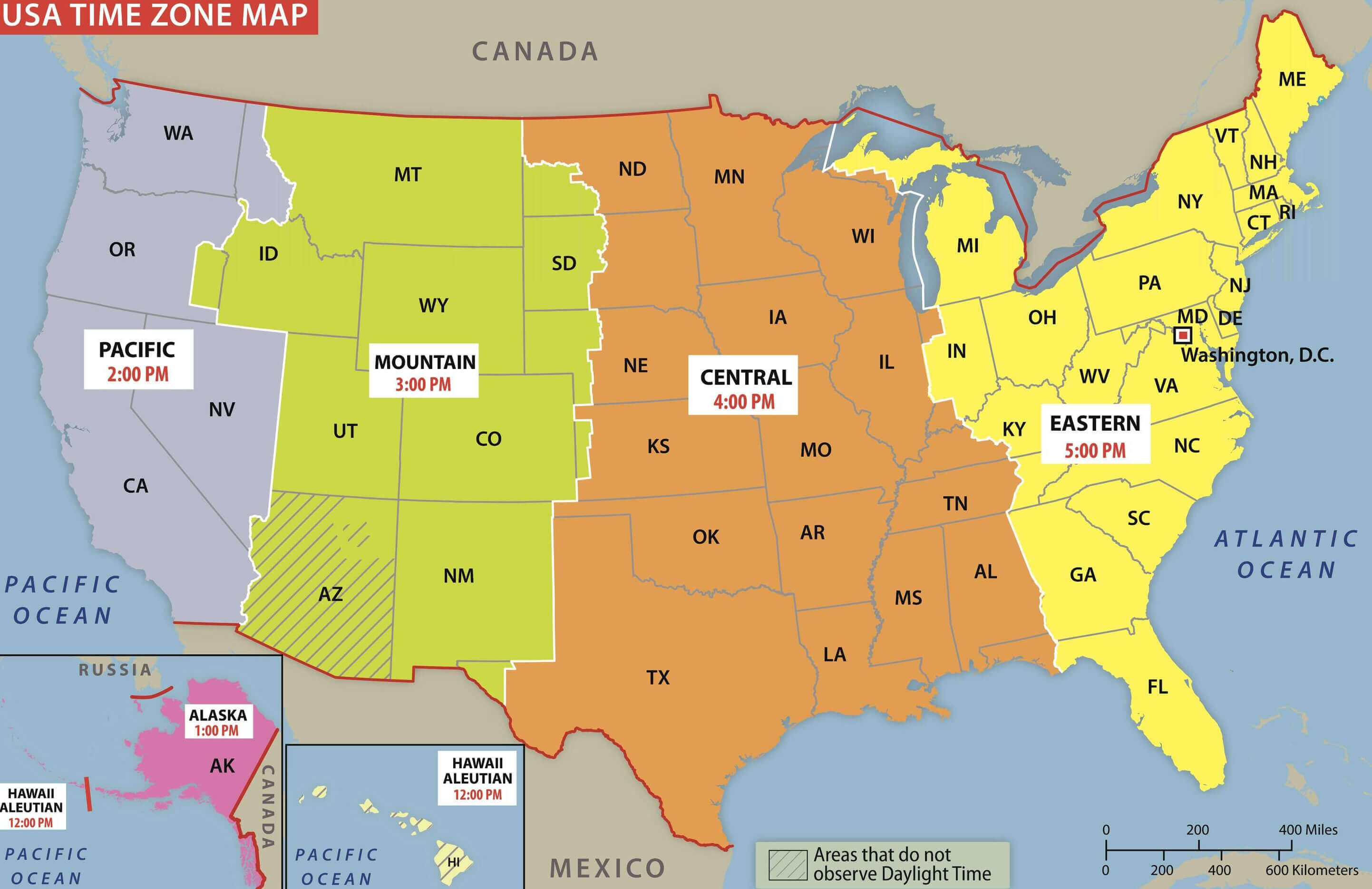
USA time zone map with Texas
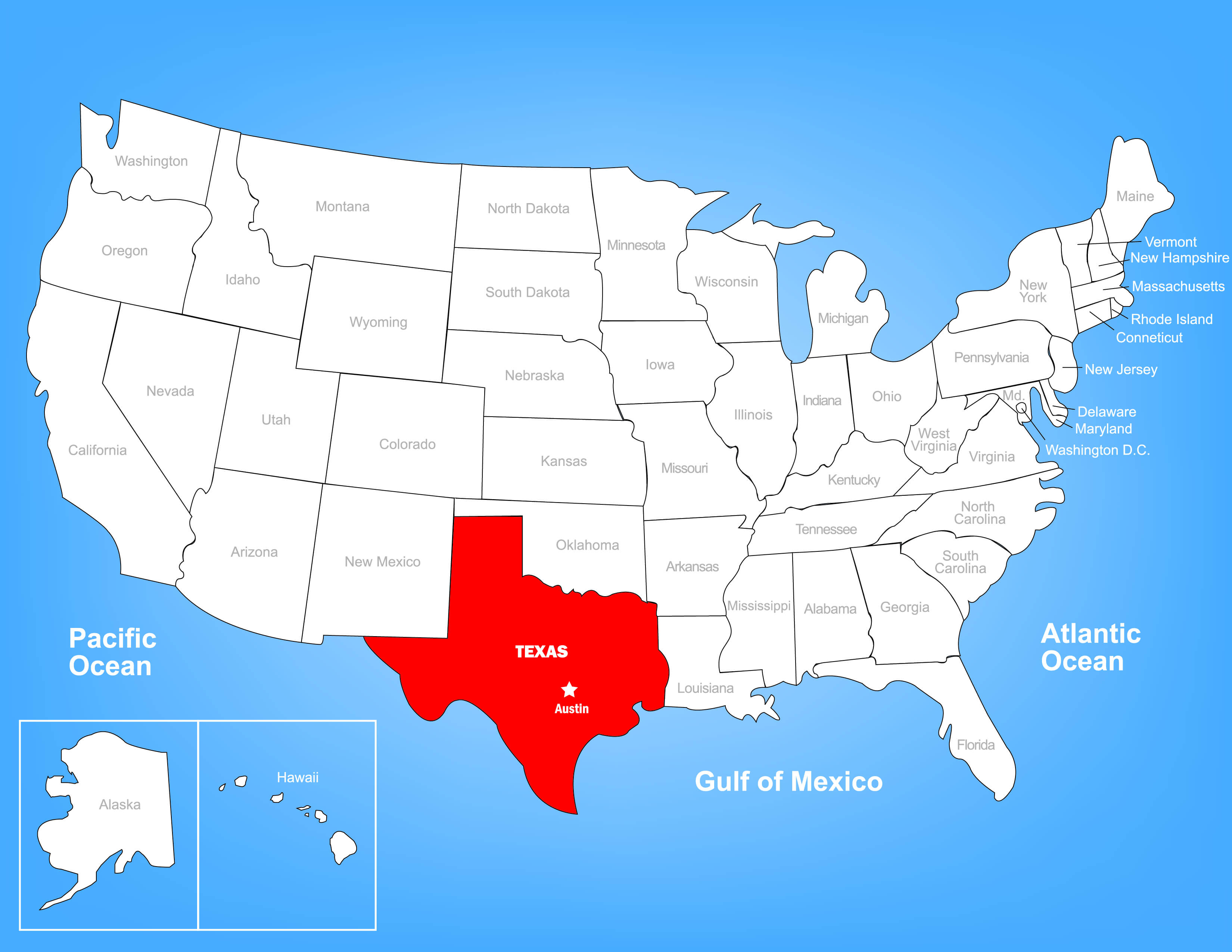
Where is Texas in the us and time zone
World and Texas us time zones map
Where is Texas on the United States Map?
Show Google map, satellite map, where is the country located.
Get directions by driving, walking, bicycling, public transportation and travel with street view.
Feel free to explore US states maps:
- Texas County Map ↗️
- Texas Cities Map ↗️
- Texas Map ↗️
- Texas Photos ↗️
- Discovering Austin: The Heartbeat of Texas ↗️
- Arlington, Texas: A Hidden Gem in the Lone Star State ↗️
- A Guide to the Houston’s Top 10 Best Attractions ↗️
- New York Cities Map ↗️
- United States Map ↗️
- Map of United States ↗️
- North America Map ↗️
- Map of North America ↗️
- US Population Map ↗️
- US Time Zone Map ↗️
- California Time Zone Map ↗️
- New York Time Zone Map ↗️
- Florida Time Zone Map ↗️
- Gulf of America (The Gulf of Mexico) Map ↗️
- Advertisement -
