- Advertisement -
Explore detailed topographic maps of Africa with elevation, borders, satellite view, longitude and latitude. Includes shaded relief and physical features of the continent, plus extended views with the Middle East region.
Topographic Map of Africa Showing Major Physical Features and Terrain
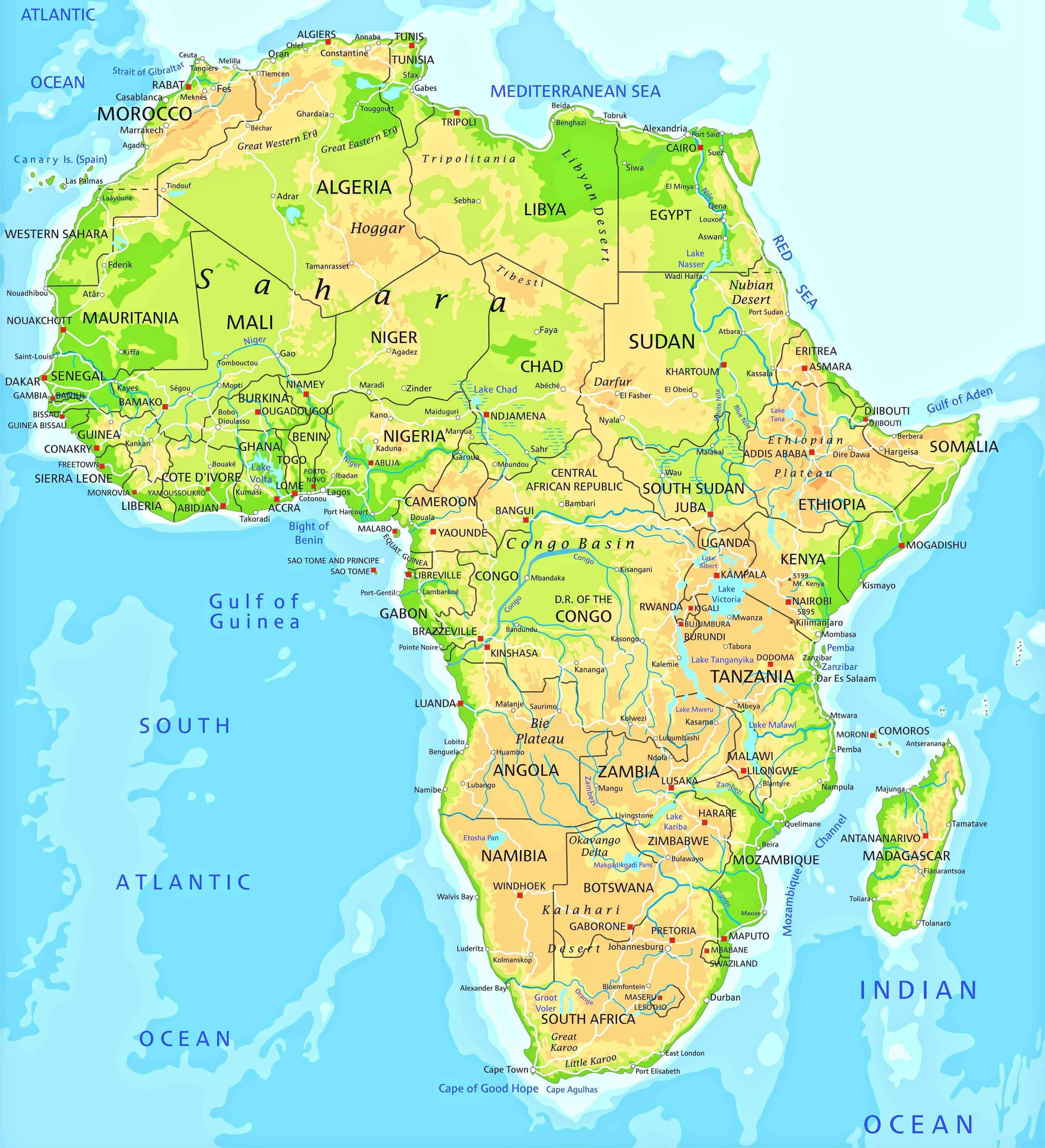
Topographic Map of Africa Highlighting Elevation and Natural Landforms
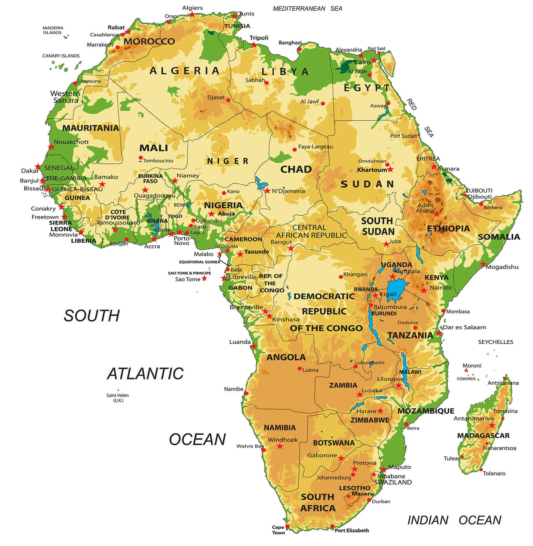 Africa topographic map with elevation, deserts, valleys and highlands.
Africa topographic map with longitude and latitude
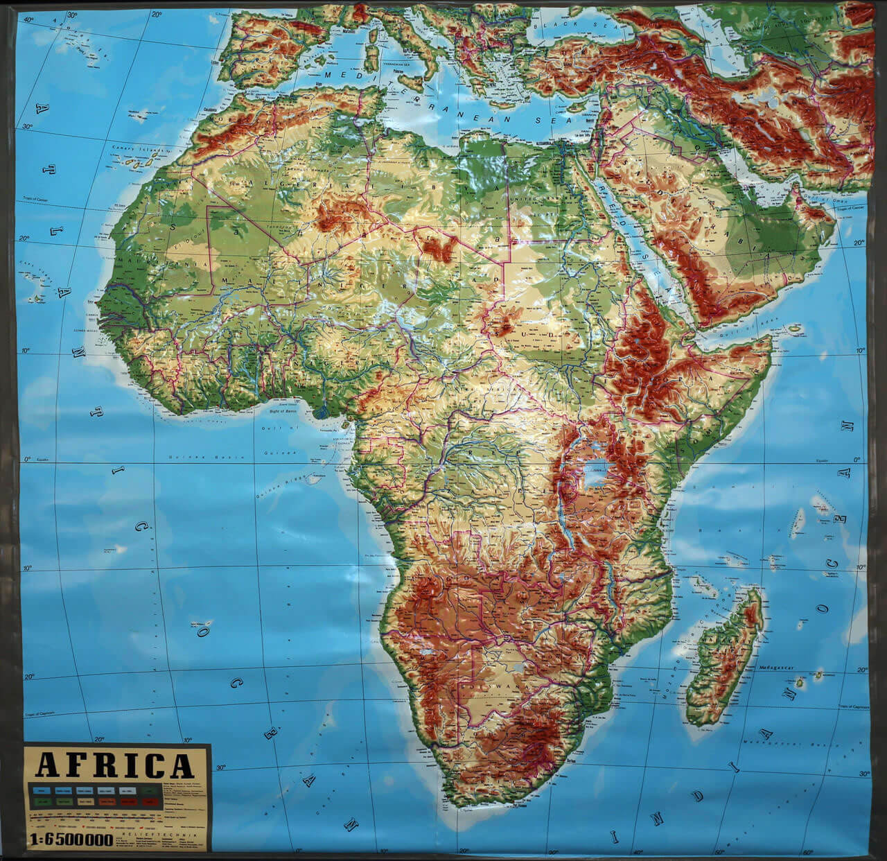
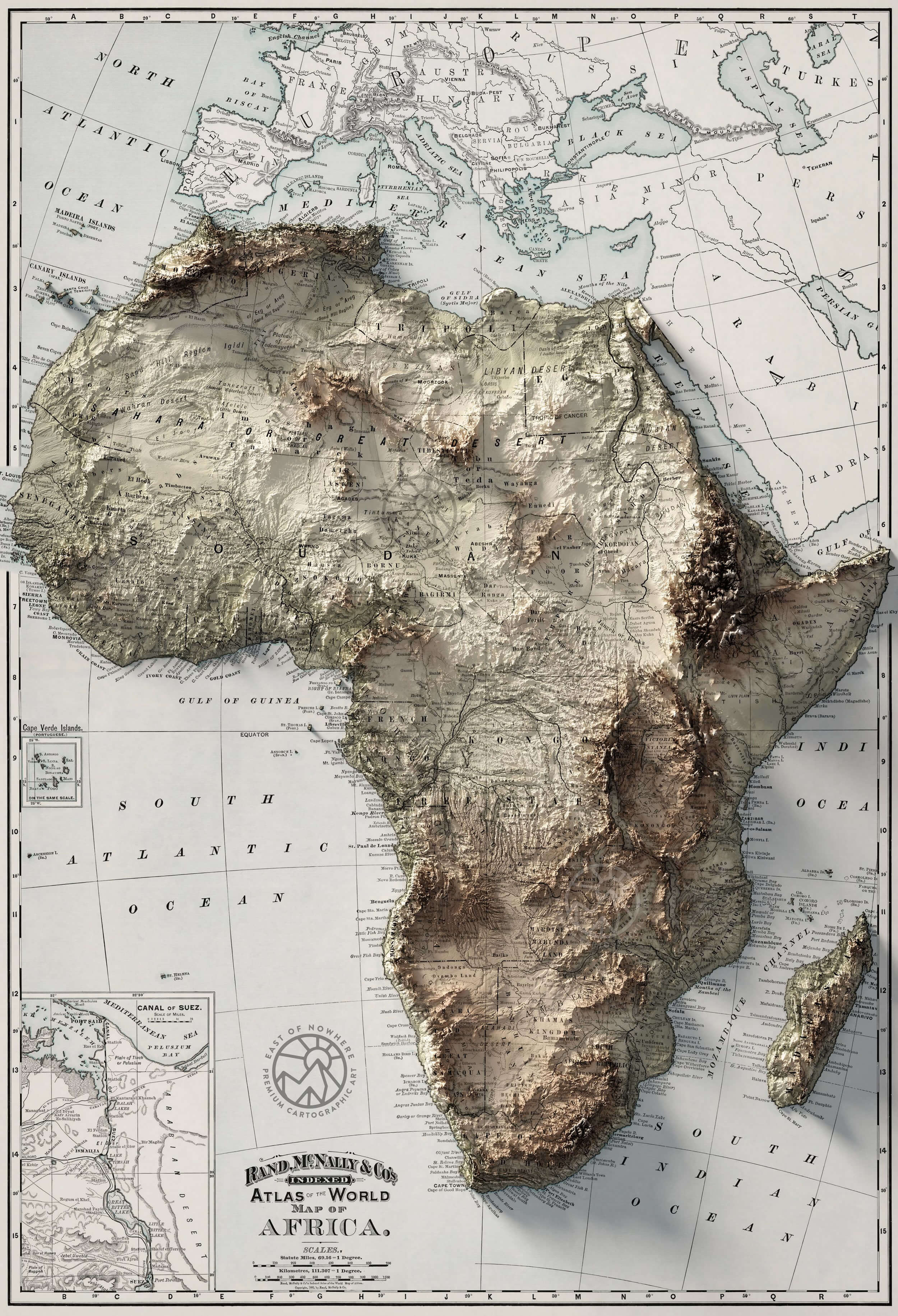
Africa topographic map with middle east
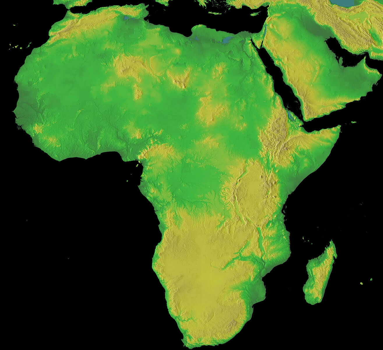
Africa topographic map with satellite view
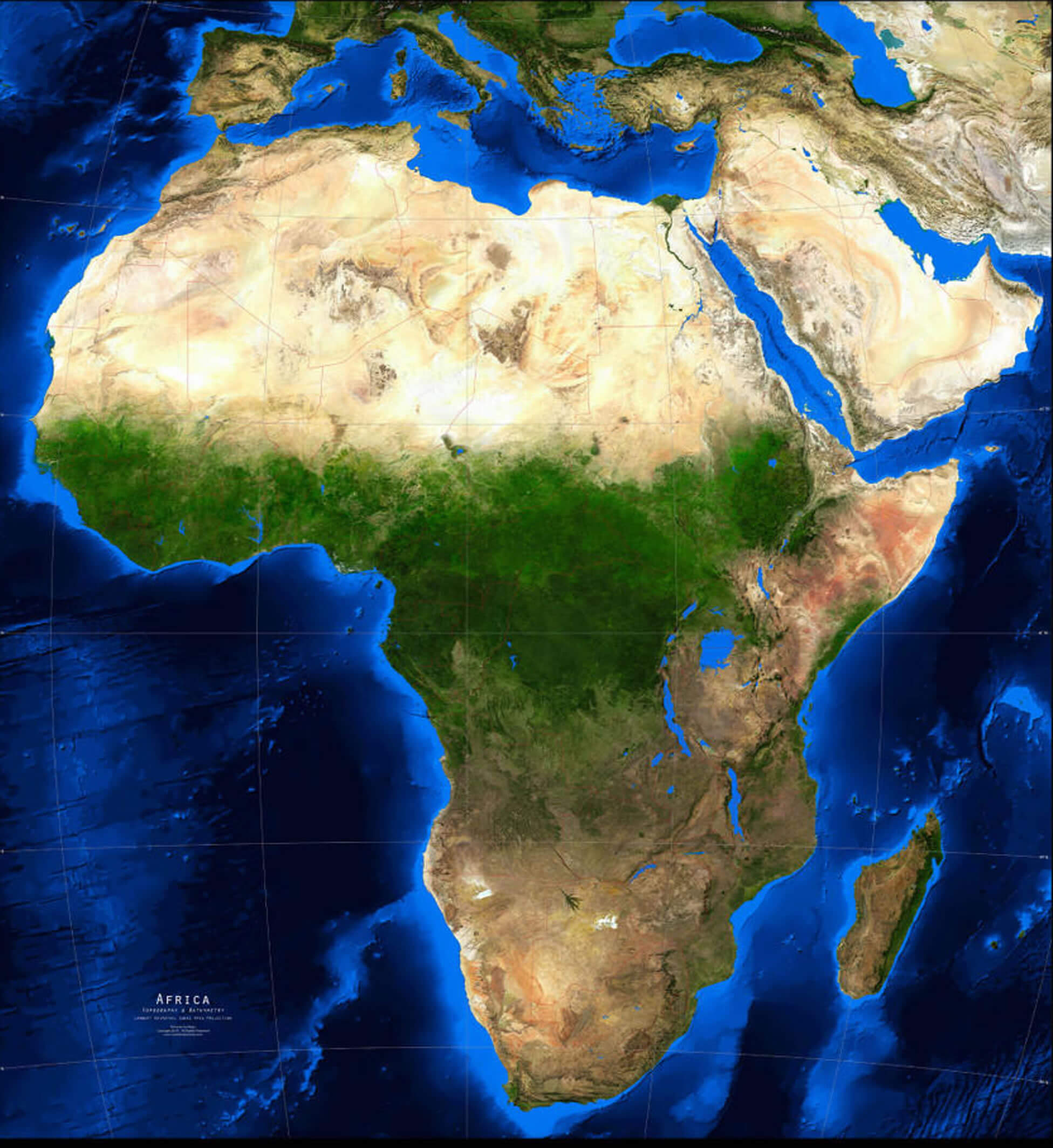
Africa topographic map
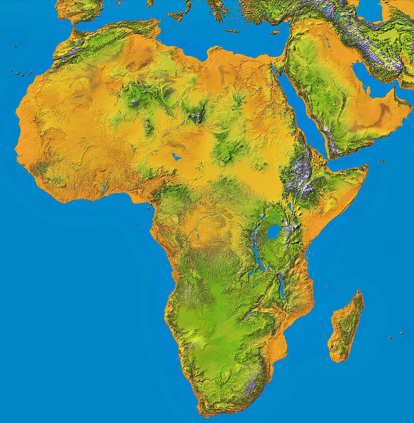
Africa topography map with borders
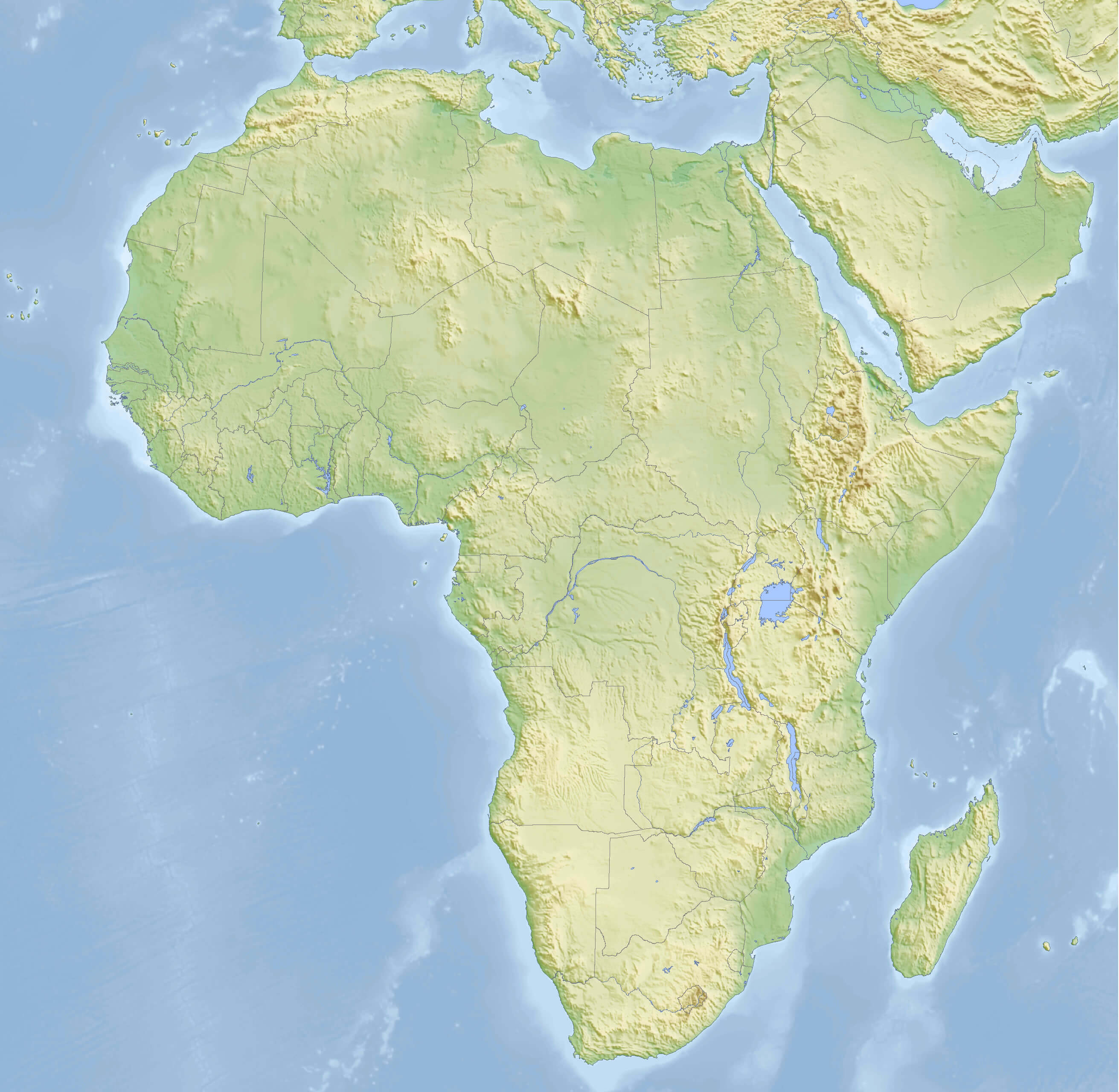
Africa topography map with elevation
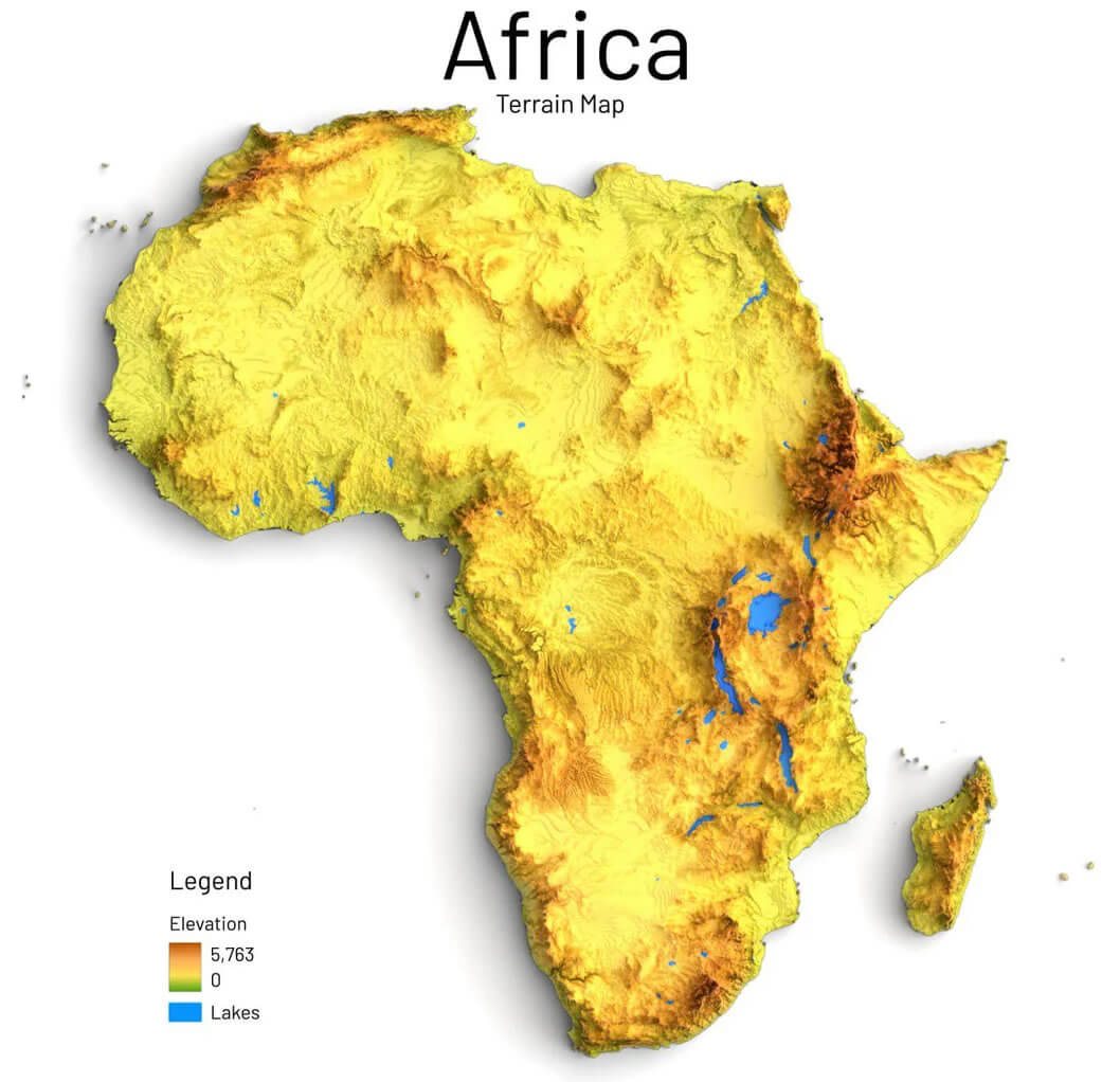
Shaded relief and topography map of Africa
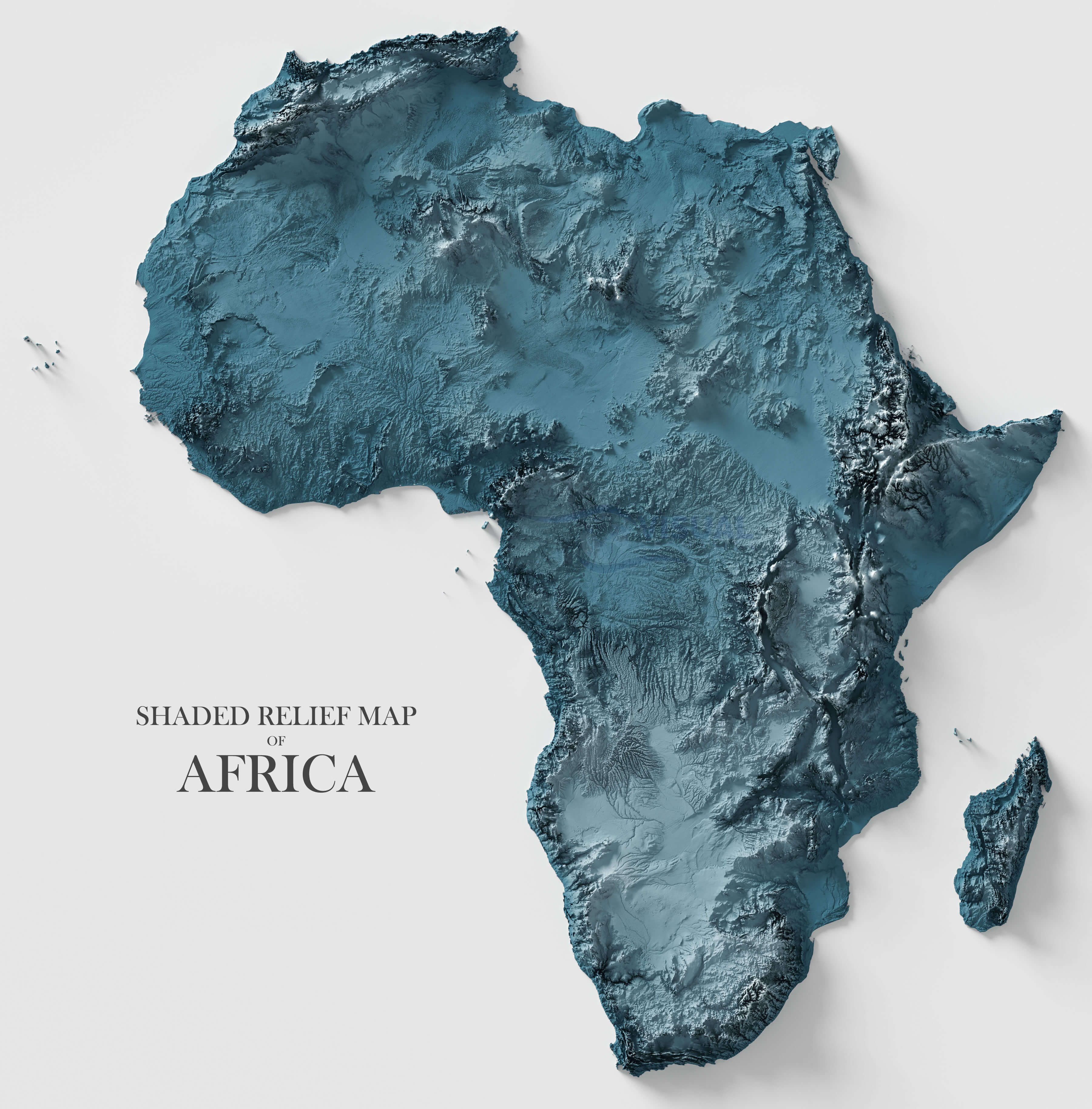
Topographic map of Africa
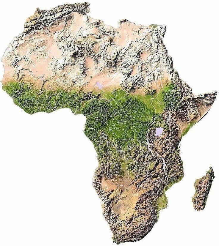
Topography map of Africa
Where is Africa on the World Map?
Show Google Interactive Maps and satellite maps of where the country is located.
Get directions by driving, walking, bicycling, public transportation and travel with street view.
Feel free to explore these pages as well:
- Africa Map IV ↗️
- Africa Map ↗️
- Africa High-resolution Map ↗️
- Map of Africa ↗️
- Africa Physical Map ↗️
- Africa Political Map ↗️
- Africa Countries Map ↗️
- Africa Population Map ↗️
- Africa Road Map ↗️
- Africa Religion Map ↗️
- Africa Satellite Map ↗️
- Africa Time Zone Map ↗️
- Muslim Population Map in Africa by Country ↗️
- A Collection of Algeria Maps: Exploring a North African Gem via Maps ↗️
- Visit Africa ↗️
- Africa Map I ↗️
- Africa Map II ↗️
- Africa Map III ↗️
- Africa Map V ↗️
- About Africa and Maps ↗️
- Cape Town: A Tapestry of Culture, Nature, and History ↗️
- Advertisement -
