- Advertisement -
This collection of detailed maps highlights Africa’s growing transportation network—from transcontinental highways and national road systems to evolving railway routes and high-speed rail proposals. Whether you’re tracking trade corridors, rail gauges, or South Africa’s paved routes, these visuals provide a clear look into the infrastructure shaping movement and economic growth across the continent.
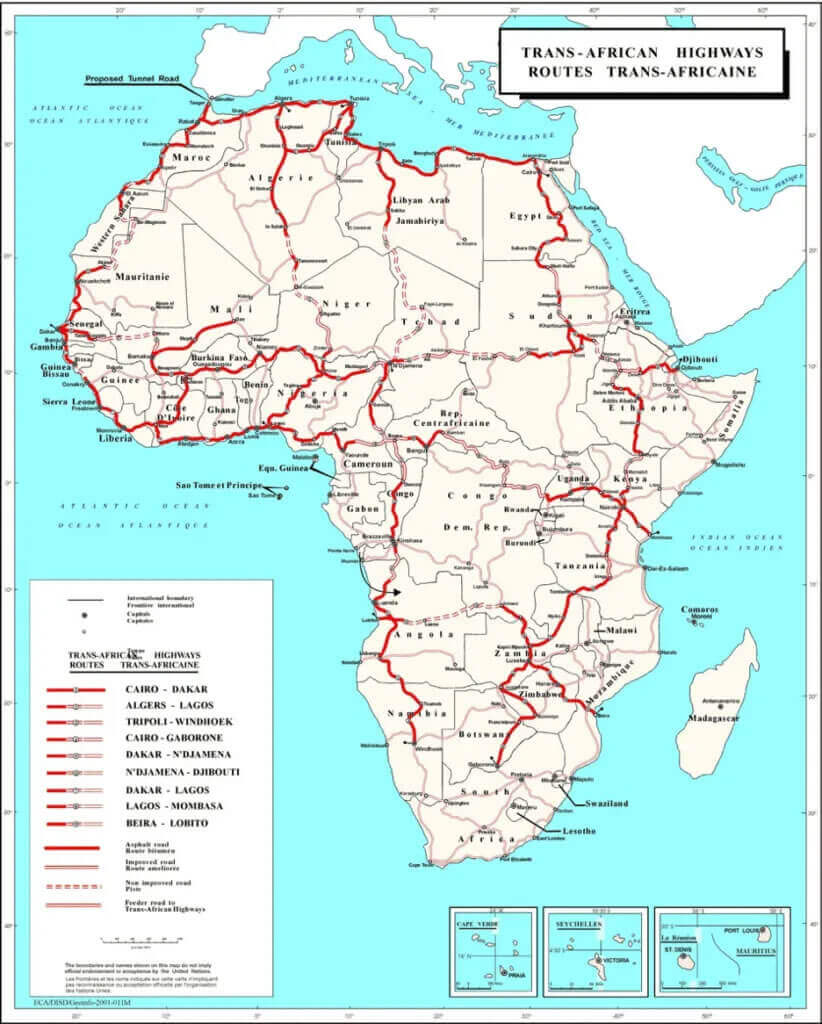
Map of trans African highways
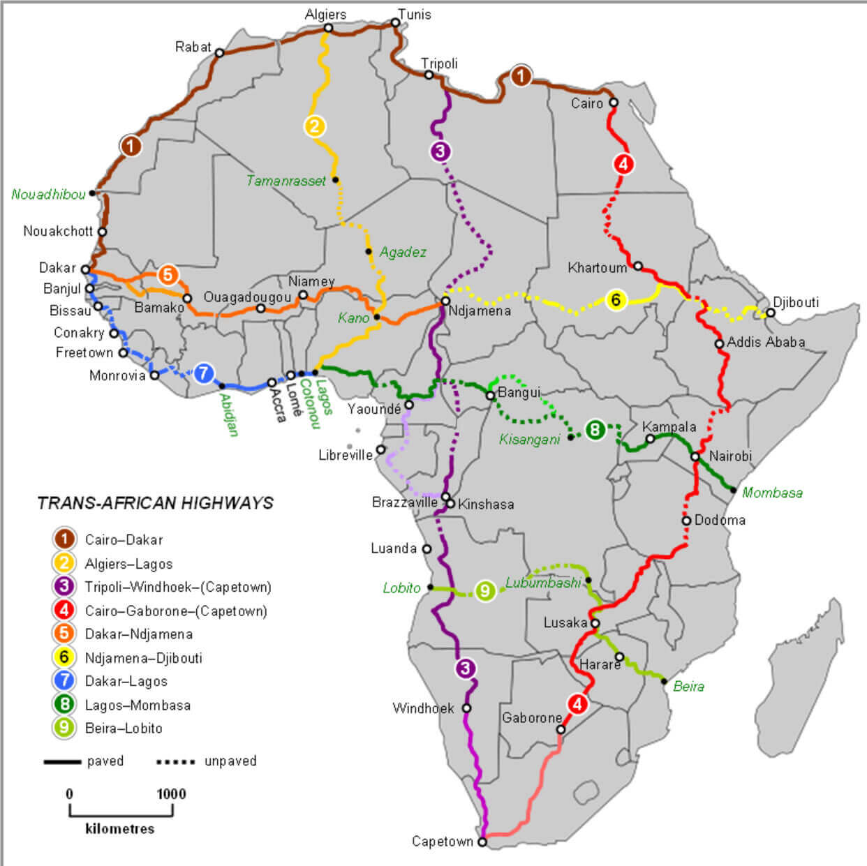
Africa highways map
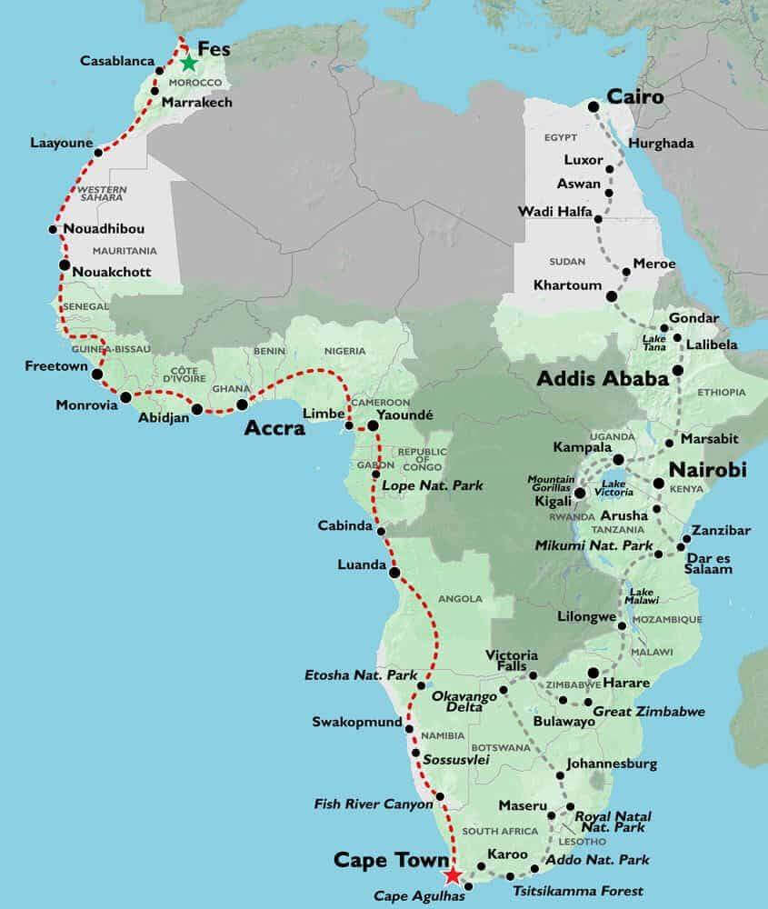
Africa main roads map
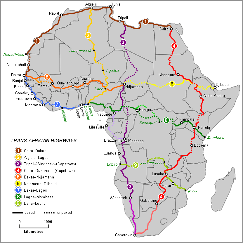
Africa railway map
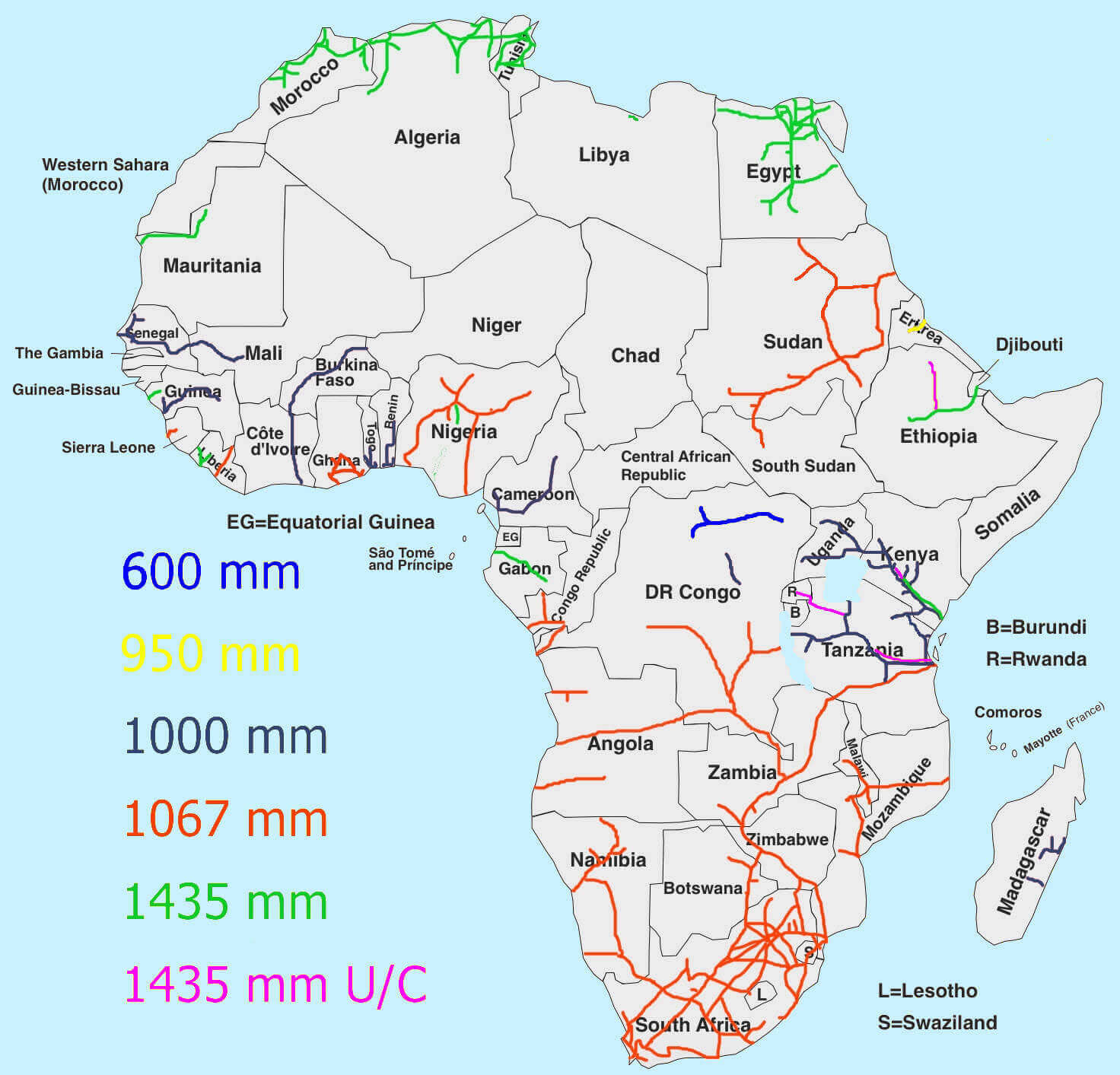
Africa river map
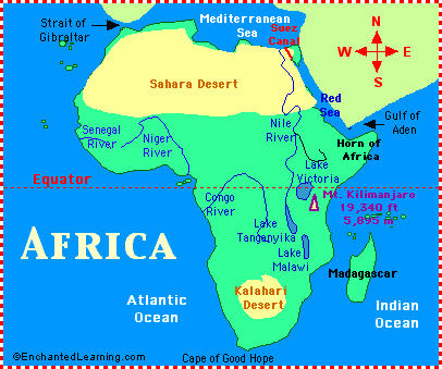
African countires road map
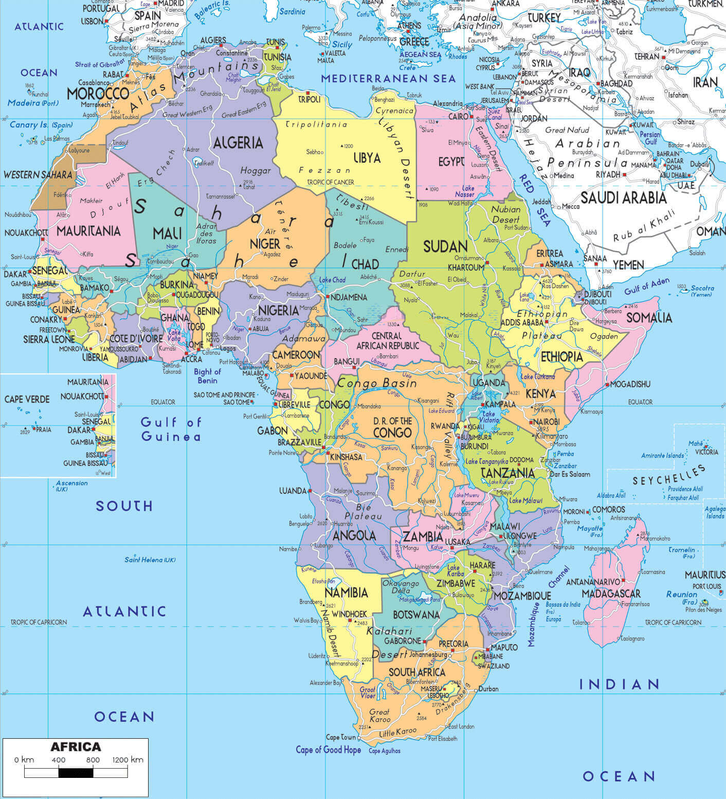
African integrated high speed rail network map
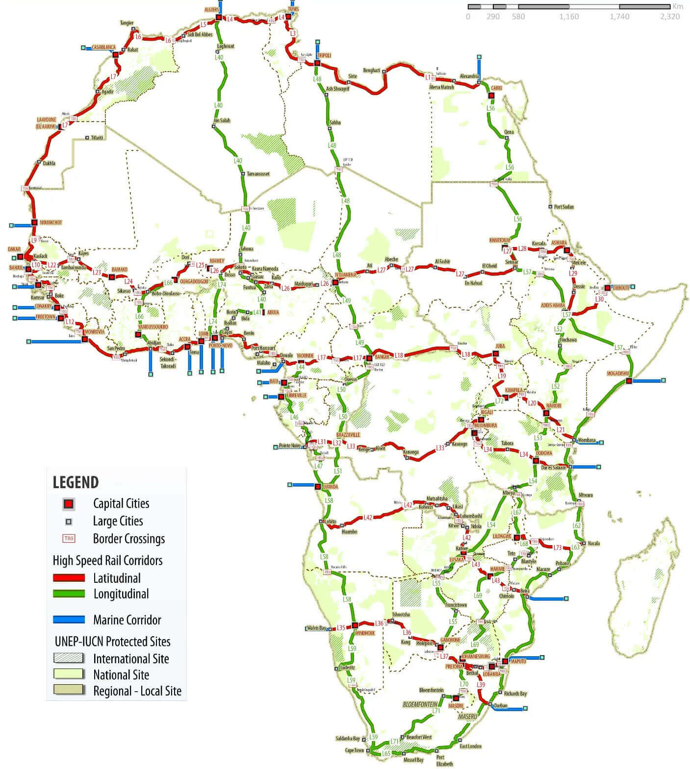
High detailed Africa road map
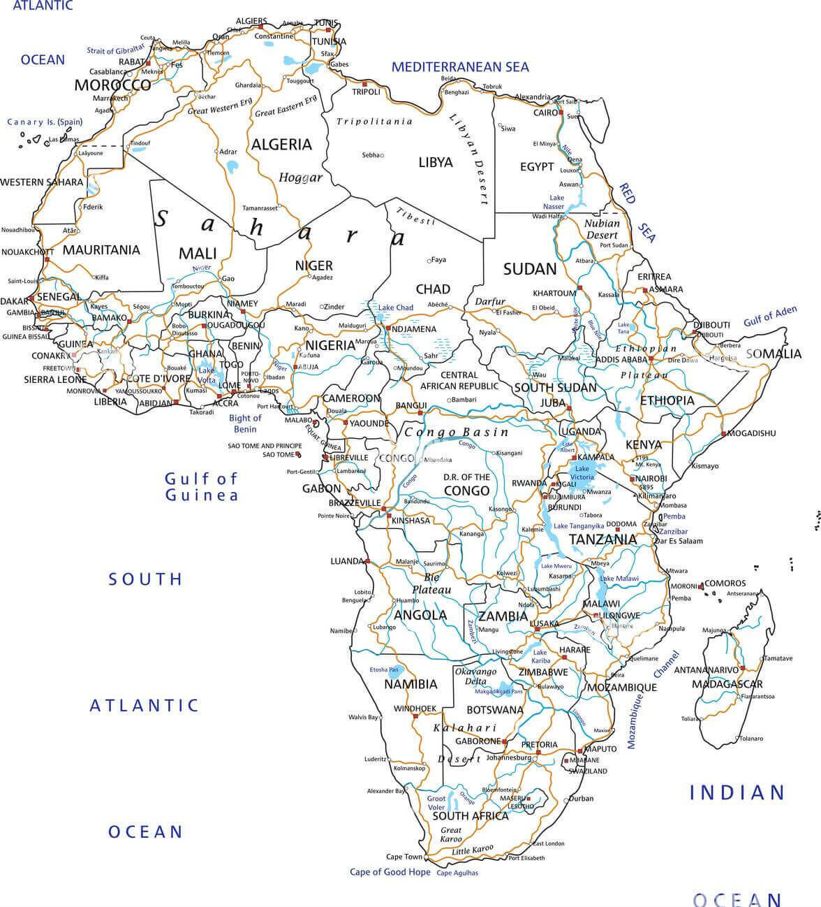
Road map of Africa
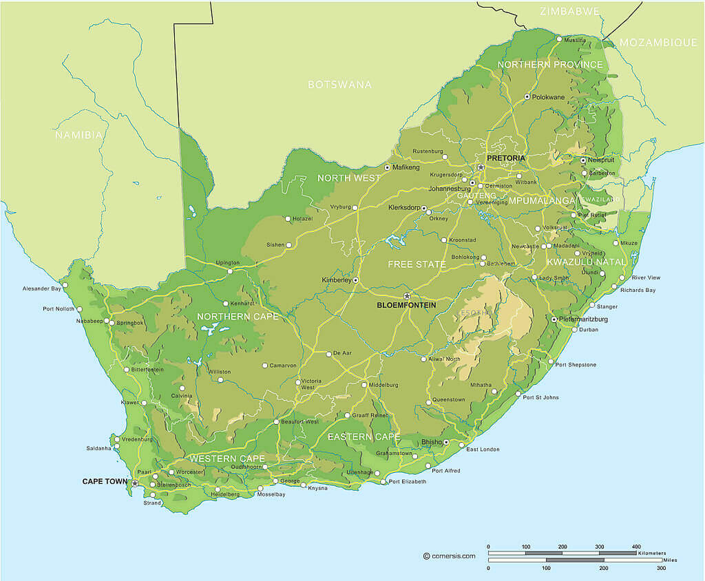
South Africa road map in Africa
Trans African highways routes map
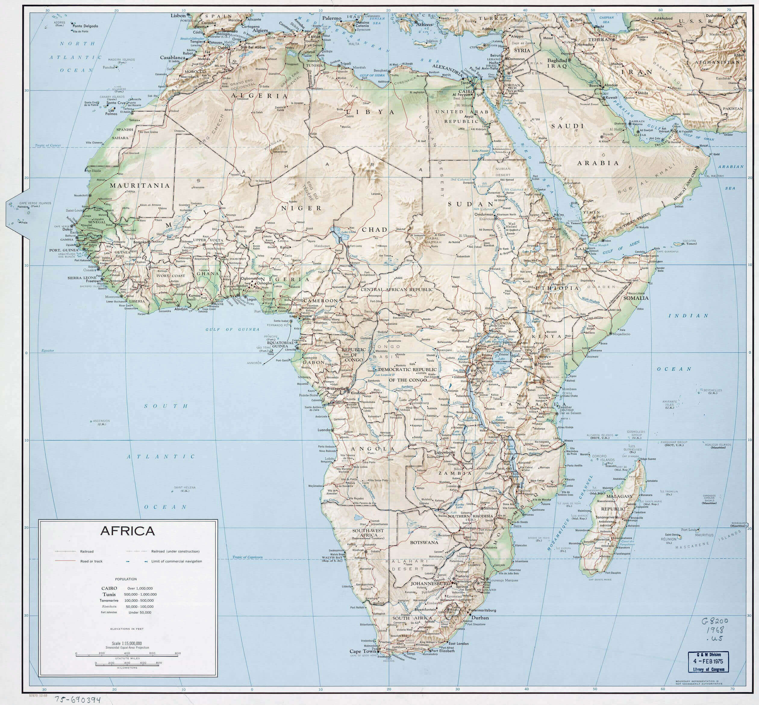
Where is Africa on the World Map?
Show Google Interactive Maps and satellite maps of where the country is located.
Get directions by driving, walking, bicycling, public transportation and travel with street view.
Feel free to explore these pages as well:
- Africa Map IV ↗️
- Africa Map ↗️
- Africa High-resolution Map ↗️
- Map of Africa ↗️
- Africa Physical Map ↗️
- Africa Political Map ↗️
- Africa Countries Map ↗️
- Africa Population Map ↗️
- Africa Road Map ↗️
- Africa Topographic Map ↗️
- Africa Religion Map ↗️
- Africa Cities Map ↗️
- Africa Time Zone Map ↗️
- Muslim Population Map in Africa by Country ↗️
- A Collection of Algeria Maps: Exploring a North African Gem via Maps ↗️
- Visit Africa ↗️
- Africa Map I ↗️
- Africa Map II ↗️
- Africa Map III ↗️
- Africa Map V ↗️
- Advertisement -
