A collection maps of Colorado; View a variety maps of Colorado physical, political, relief map. Satellite image of Colorado, higly detalied maps, blank map of Colorado, USA and Earth. And find more Colorado’s country, regions, topography, cities, road, rivers, national, directions maps and atlas.
Vector color map of Colorado state, USA
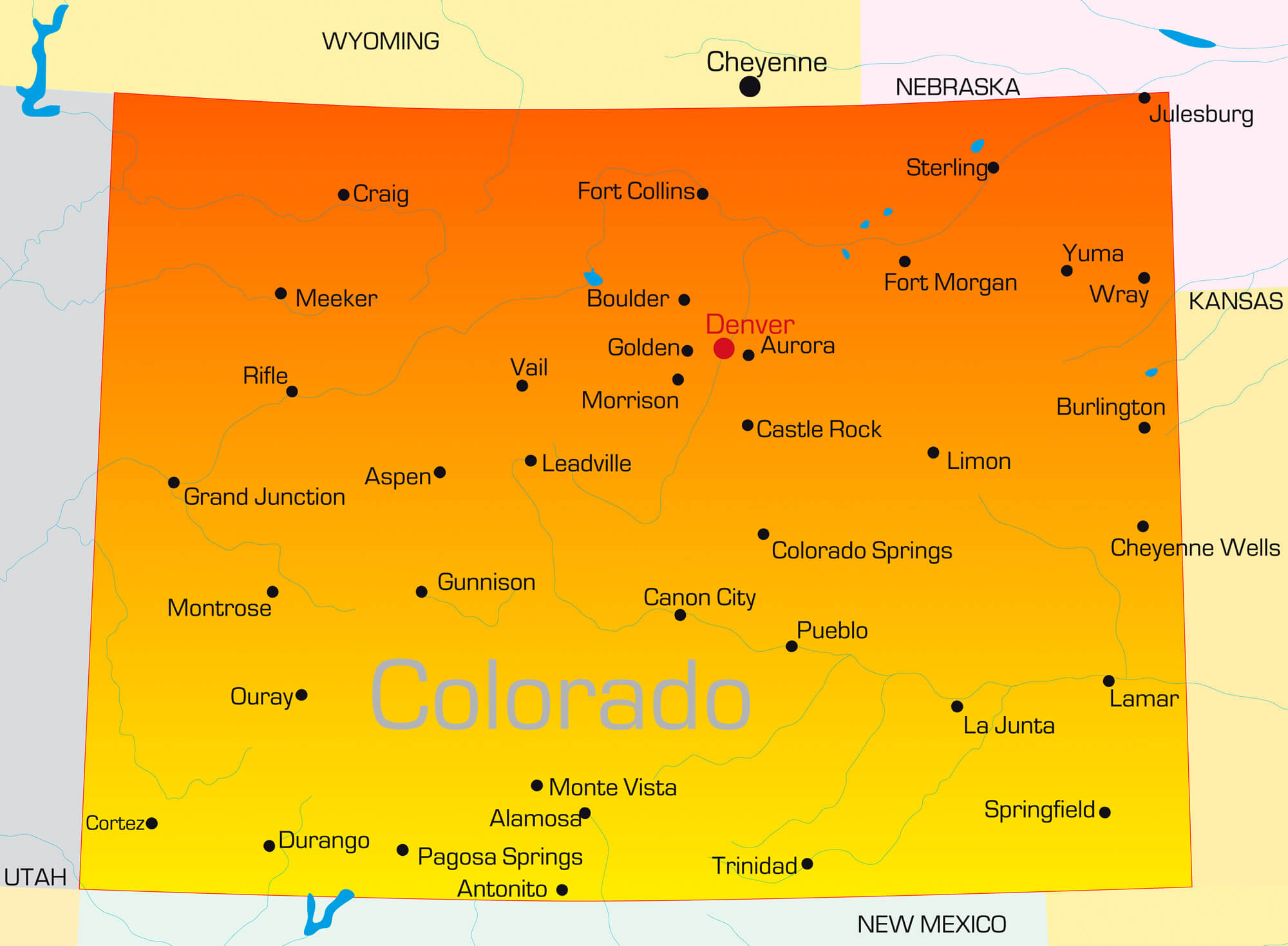 Vector color map of Colorado state, United States of America.
Colorado, United States of America Political Map
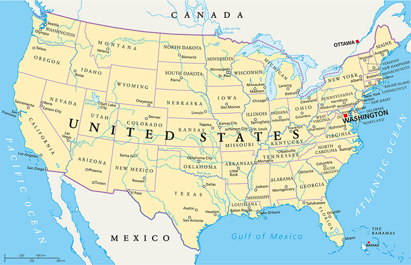
United States of America Political Map with capital Washington, national borders, most important cities, rivers and lakes. With single states, their borders and capitals, except Hawaii and Alaska.
Road Map of Colorado
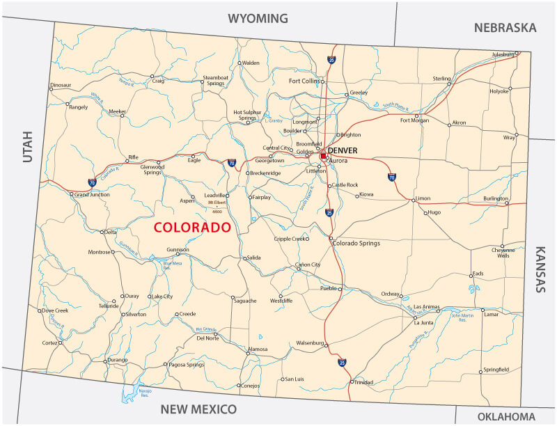
Road Map of Colorado with major cities interstates.
Colorful Map of Colorado and US
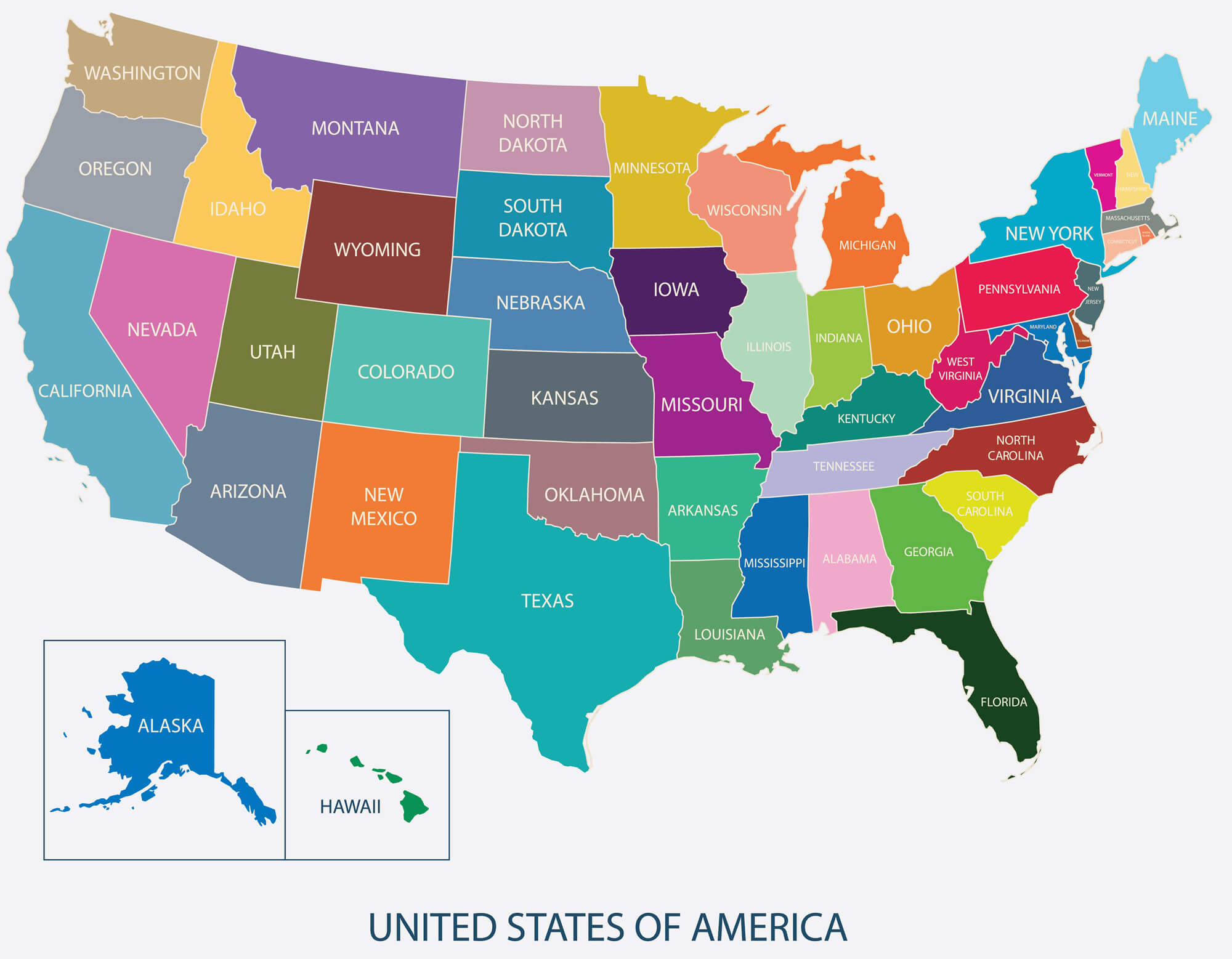
USA Map in color with name of countries, united states of america map, US Map flat illustration vector.
Colorado State Map, US
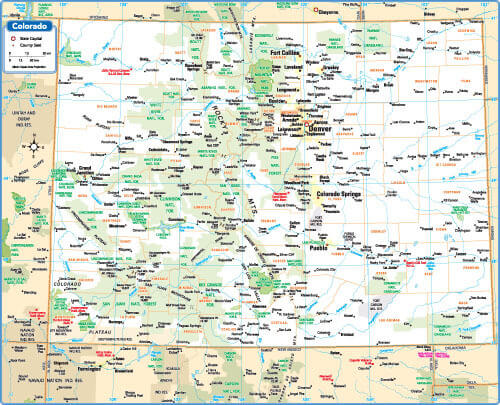
Colorado State Map with US cities.
Denver Neighborhood Map, Colorado
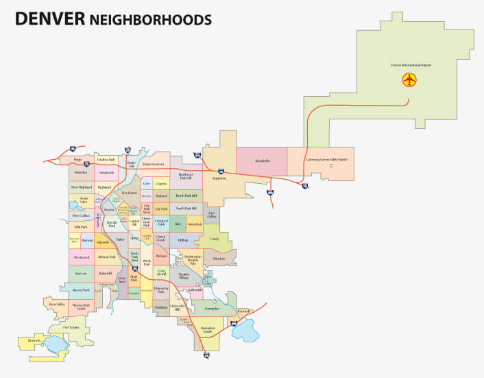
Denver Neighborhood Map, Colorado.
Map of USA, Colorado
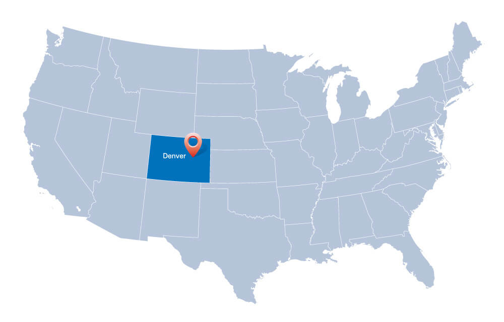
Map of the USA with the indication of the State of Colorado and Denver.
Colorado Maps and Photos
- Please Click for more Colorado Map
- Please Click for more Info About Map of Colorado
Where is Colorado on the United States Map?
Show Google map, satellite map, where is the country located.
Get directions by driving, walking, bicycling, public transportation and travel with street view.
