A collection of Alaska Maps; View a variety of Alaska physical, political, administrative, relief map, Alaska satellite image, higly detalied maps, blank map, Alaska USA and earth map, Alaska’s regions, topography, cities, road, direction maps and atlas.
Alaska Shaded Relief Map
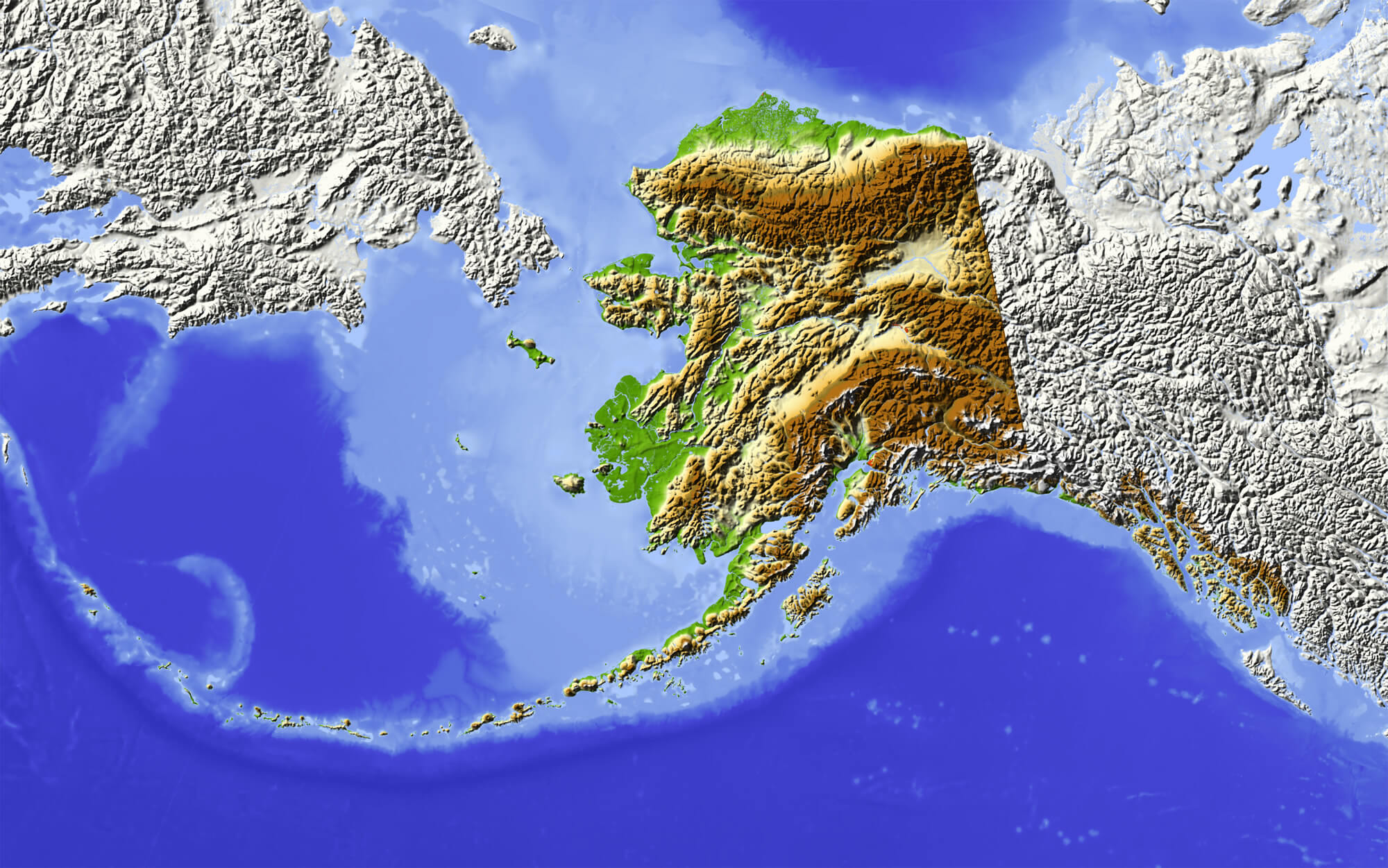
Alaska. Shaded relief map, with major rivers, surrounding territory greyed out. Colored according to elevation.
Alaska Map 1880
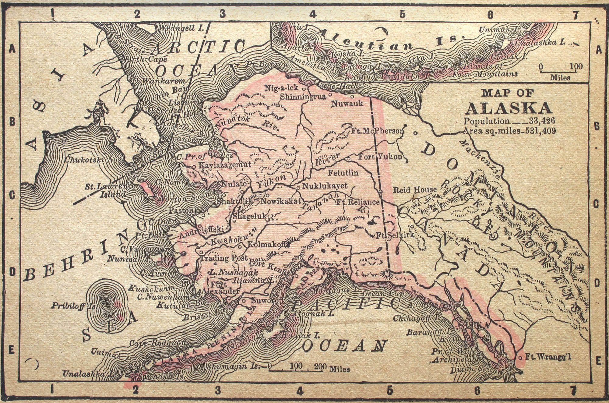
Alaska map 1880, Alaska, circa 1880. See the entire map collection.
Map of Alaska, 1900
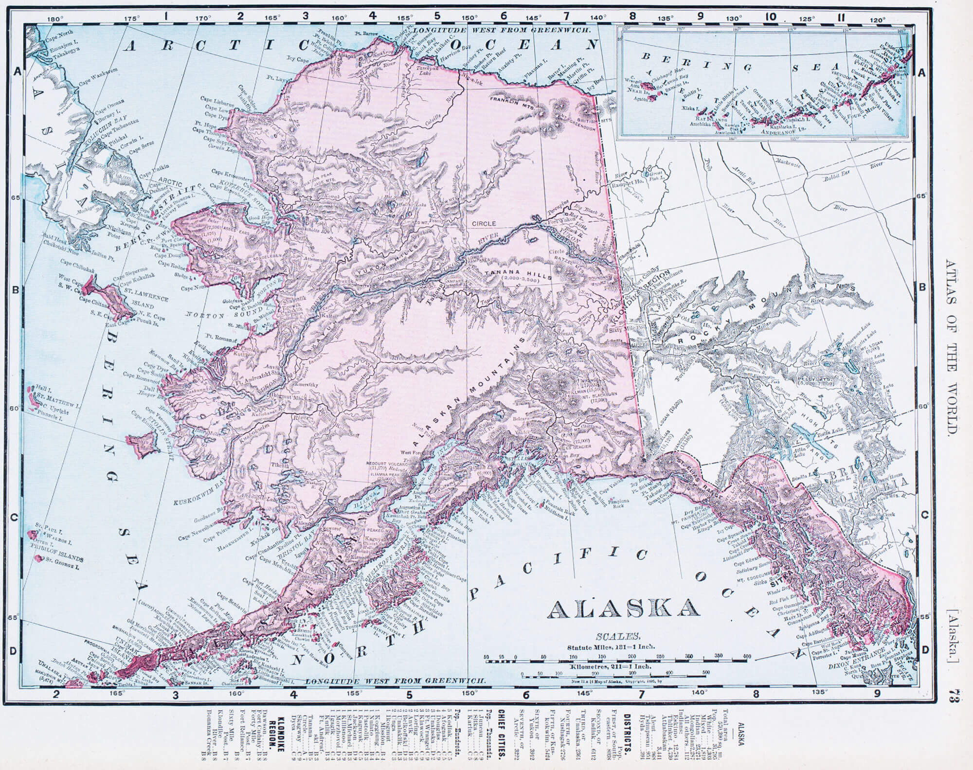
A map of Alaska, USA from Spofford’s Atlas of the World, printed in the United States in 1900
US State Alaska Political Map
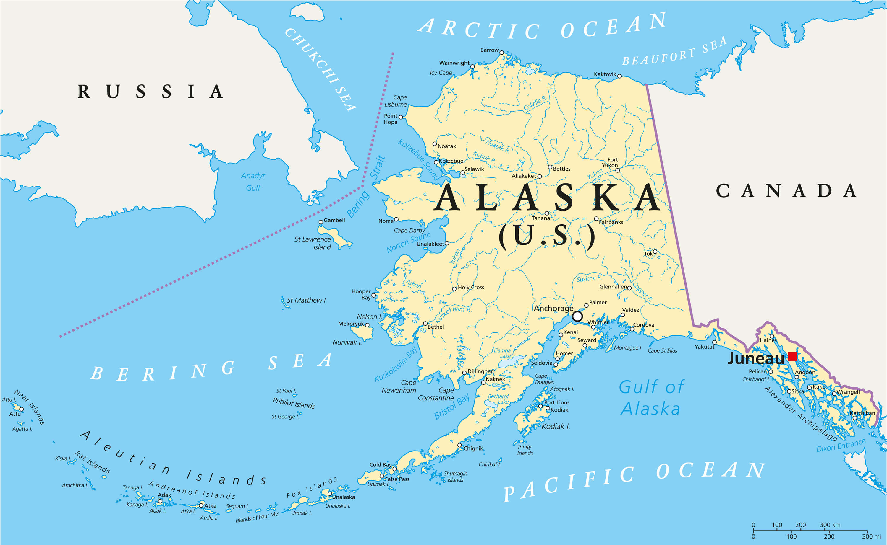
US State Alaska Political Map with capital Juneau, national borders, important cities, rivers and lakes.
Color Map of Alaska State
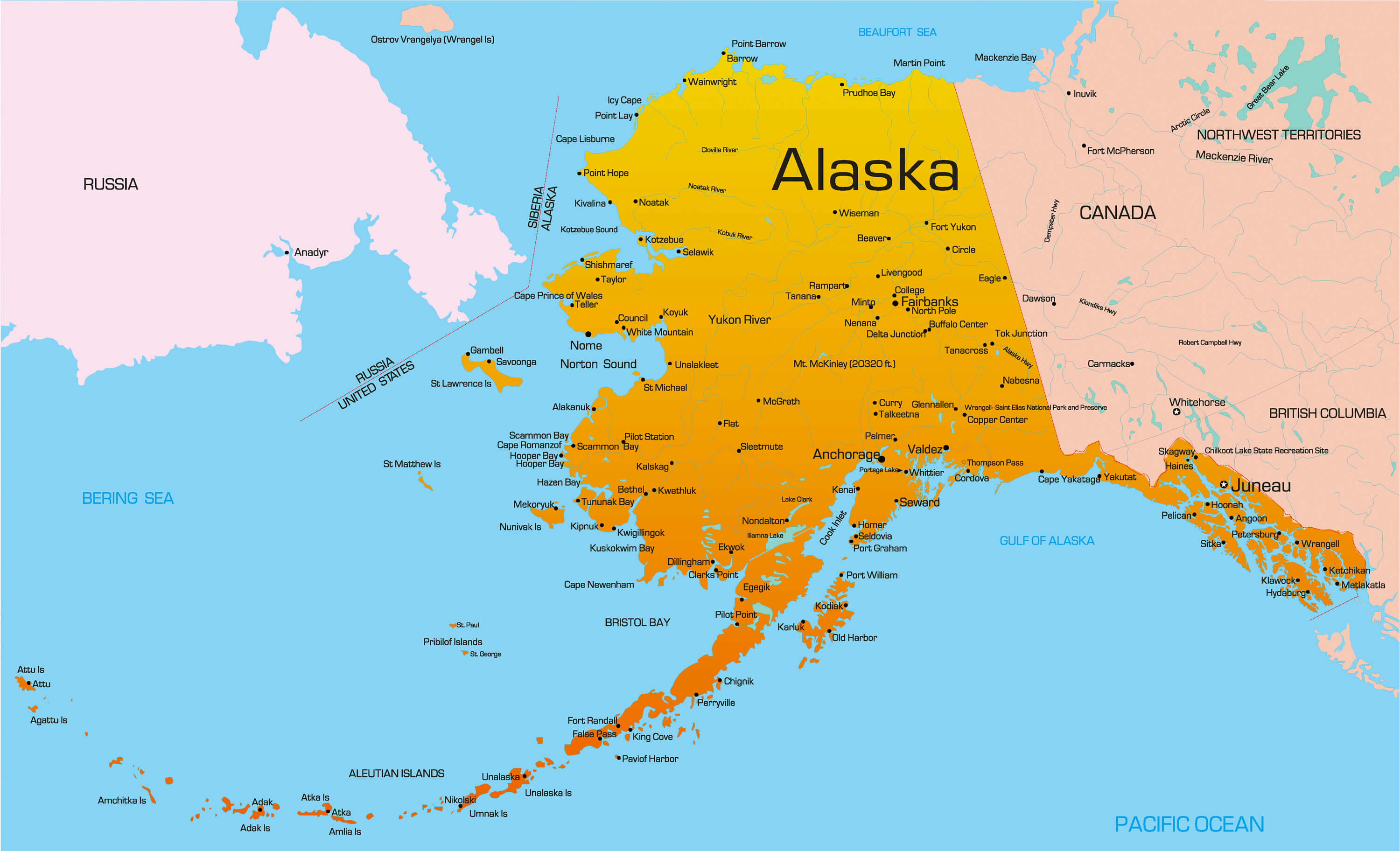
Vector color map of Alaska state, USA.
Alaska Earth Map
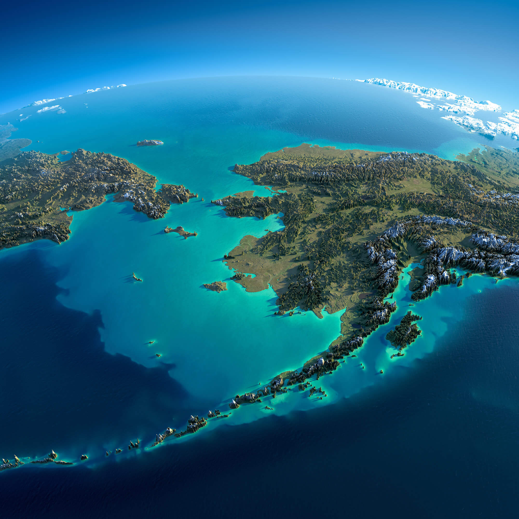
Highly detailed planet Earth in the morning. Exaggerated precise relief lit morning sun. Detailed Earth. Chukotka, Alaska and the Bering Strait.
Alaska Maps and Photos
- Please Click for more Alaska Map
- Please Click for more Info About Map of Alaska
- Please Click for more Alaska Photos
Where is Alaska on the United States Map?
Show Google map, satellite map, where is the country located.
Get directions by driving, walking, bicycling, public transportation and travel with street view.
