Map of Alaska

HomeMapsMap of Alaska
- Advertisement -

A collection maps of Alaska; View a variety maps of Alaska physical, political, relief map. Satellite image of Alaska, higly detalied maps, blank map of Alaska, USA and Earth. And find more Alaska’s country, regions, topography, cities, road, rivers, national, directions maps and atlas.
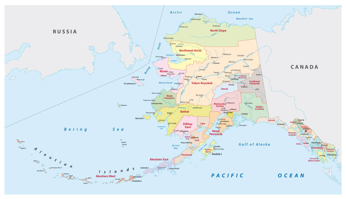
alaska administrative map
Alaska administrative map with counties and main cities.

Detailed Map of Alaska
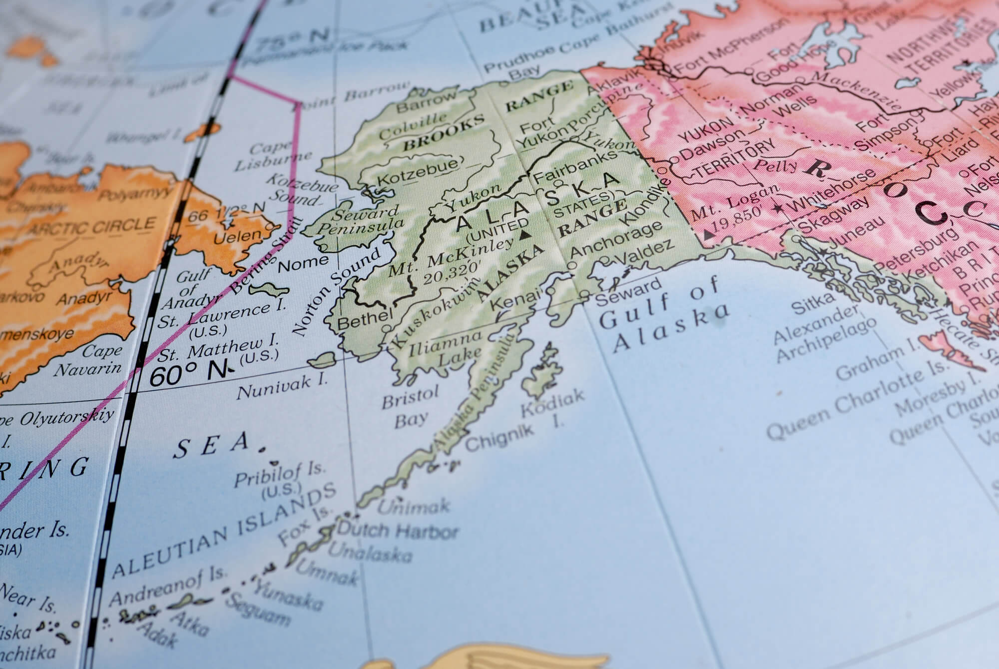
Detailed Map of Alaska
Detailed Map of Alaska with major cities.

Alaska Terrain Map
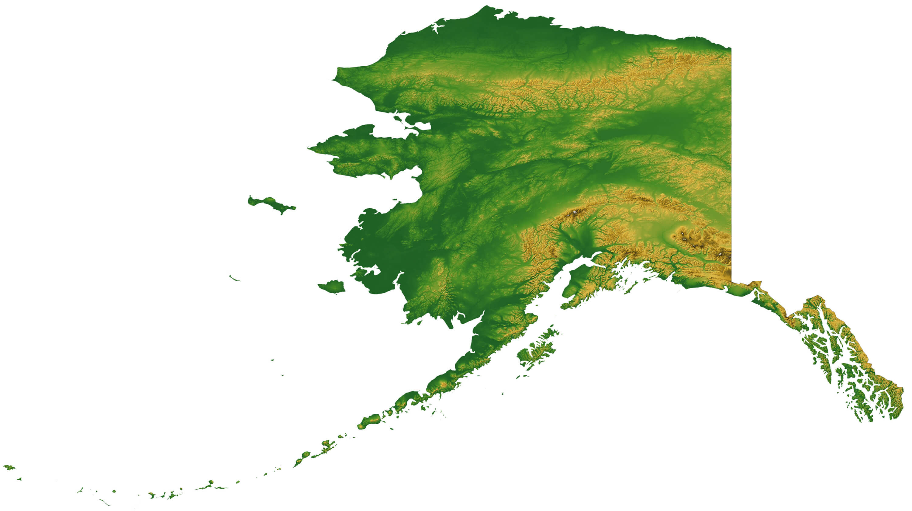
Alaska Terrain Map


Map of Alaska with Terrain

Alaska State Map
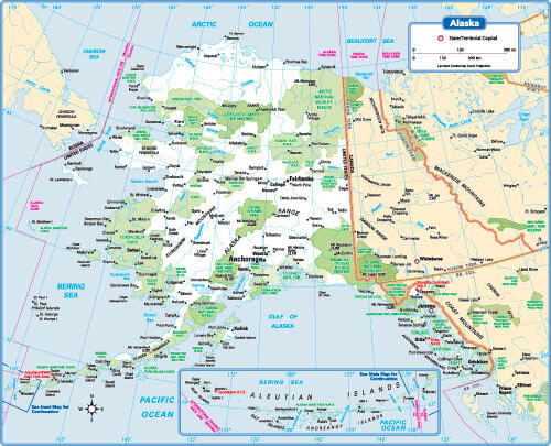
Alaska State Map
Alaska State Map, forest regions, USA.

Alaska Vector Map
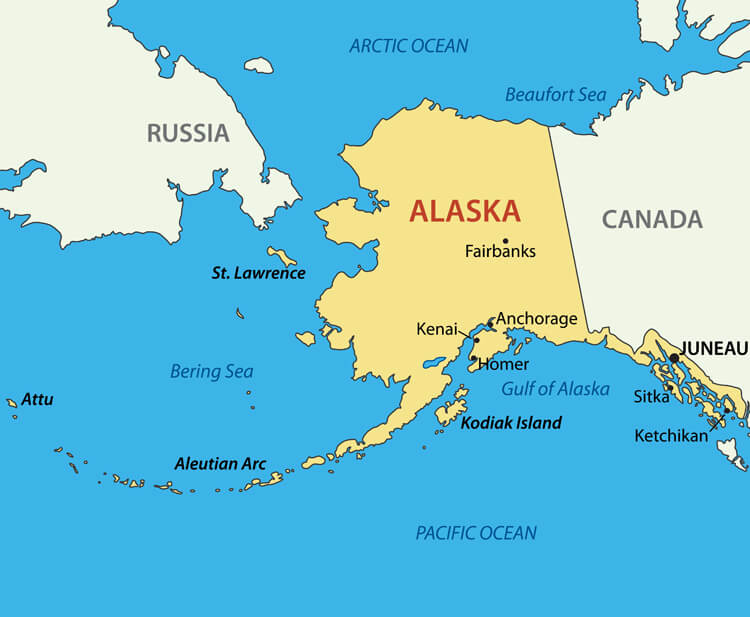
Alaska Vector Map
Alaska Vector Map, US. Main cities and state national border with Canada and Russia.

Alaska Maps and Photos

Where is Alaska on the United States Map?

Show Google map, satellite map, where is the country located.

Get directions by driving, walking, bicycling, public transportation and travel with street view.

- Advertisement -
Previous article
Next article

Discover

Sponsor

Latest Posts

Visit Africa

https://youtu.be/osm_BqGsvFA Africa, the second-largest continent in the world, is located south of Europe and bordered by the Mediterranean Sea to the north, the Atlantic Ocean...

Nepal Map

Explore maps of Nepal, including physical, political, road and terrain maps as well as key cities, population data, country boundaries and regional divisions. Explore...

North America Map

A collection of North America Maps; View a variety of North America physical, political, administrative, relief map, North America satellite image, higly detalied maps,...

See More Taiwan Photo Galleries

Taiwan is an island country lies between China and Japan, but it is currently not recognized as an official country in the World, as...

The Heartbeat of China: A Journey Through Beijing

In the vast landscape of China, Beijing stands out as a beacon of the nation's enduring spirit and relentless ambition. A city that has...