Kentucky Photos

HomePhotoCountriesKentucky Photos
- Advertisement -

A Collection of Kentucky Photos

Skylines Downtown Louisville

skylines downtown louisville
View of Skyline downtown Louisville in Kentucky USA.

Horse Farm in Kentucky
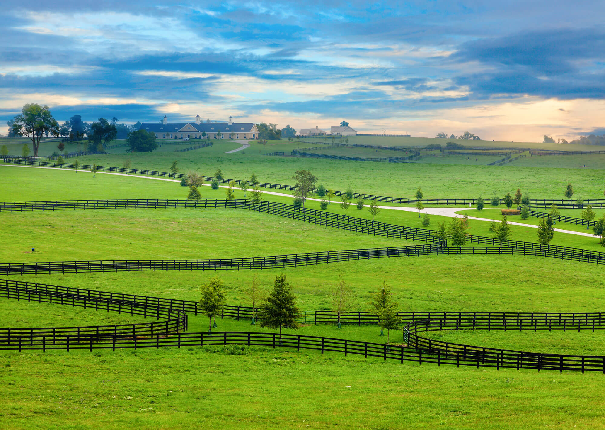
Horse farm in Kentucky
Horse farm in Kentucky, United States of America.

Kentucky State Capitol

Kentucky State Capitol


Kentucky State Capitol, United States.

A Farm in Central Kentucky
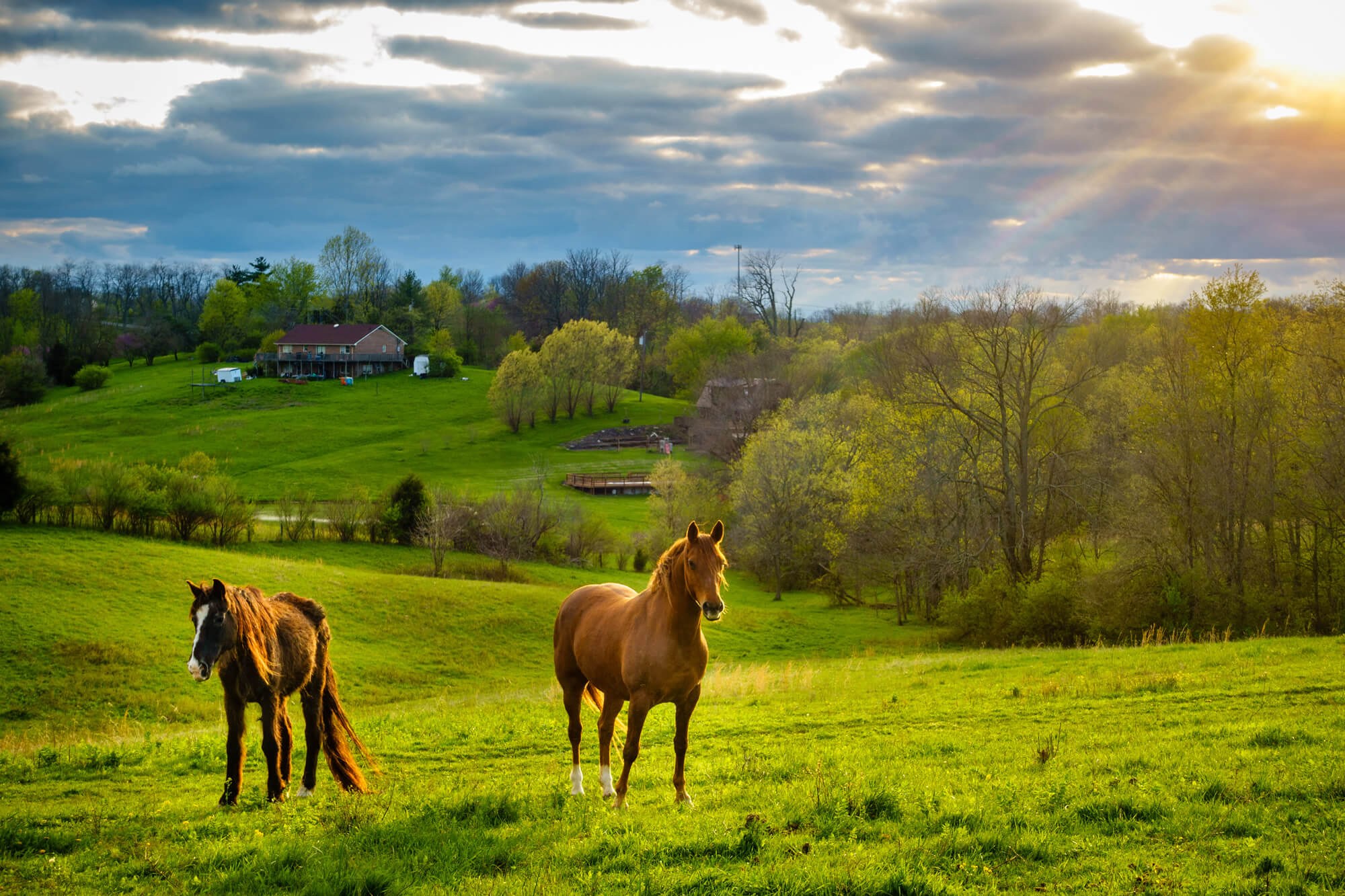
a farm in Central Kentucky
Beautiful chestnut horses on a farm in Central Kentucky at sunset.

Louisville in Kentucky USA

Louisville in Kentucky USA
View of Skyline downtown Louisville in Kentucky USA.

Where is Kentucky in the World?

Show Google map, satellite map, where is the country located.

Get direction by driving, walking, bicycling, public transportaion and travel with street view.

[gmap-embed id=”2005″]

Kentucky Maps and Photos

- Advertisement -
Previous article
Next article

Discover

Sponsor

Latest Posts

Kuwait Map

A collection of Kuwait Maps; View a variety of Kuwait physical, political, administrative, relief map, Kuwait satellite image, higly detalied maps, blank map, Kuwait...

South Carolina Map

A collection of South Carolina Maps; View a variety of South Carolina physical, united states political map, administrative, relief map, South Carolina satellite image,...

Saudi Arabia Photos

A Collection of Saudi Arabia Photos Aerial view of Riyadh, Saudi Arabia RIYADH - August 22: Aerial view of Riyadh downtown on August 22, 2016 in...

Kabul Map

Where is Kabul, Kabul Map, city map of Kabul, Kabul map of Afghanistan, Kabul satellite map, location, itinerary, atlas, geographic, city of Afghanistan and...

Minnesota Map

A collection of Minnesota Maps; View a variety of Minnesota physical, united states political map, administrative, relief map, Minnesota satellite image, higly detalied maps,...