- Advertisement -
Explore detailed cities maps of Germany showcasing major cities, states, and regions. From political and physical maps to road and travel maps with city destinations, discover the layout of Germany’s largest cities, urban networks, rivers, and transit systems.
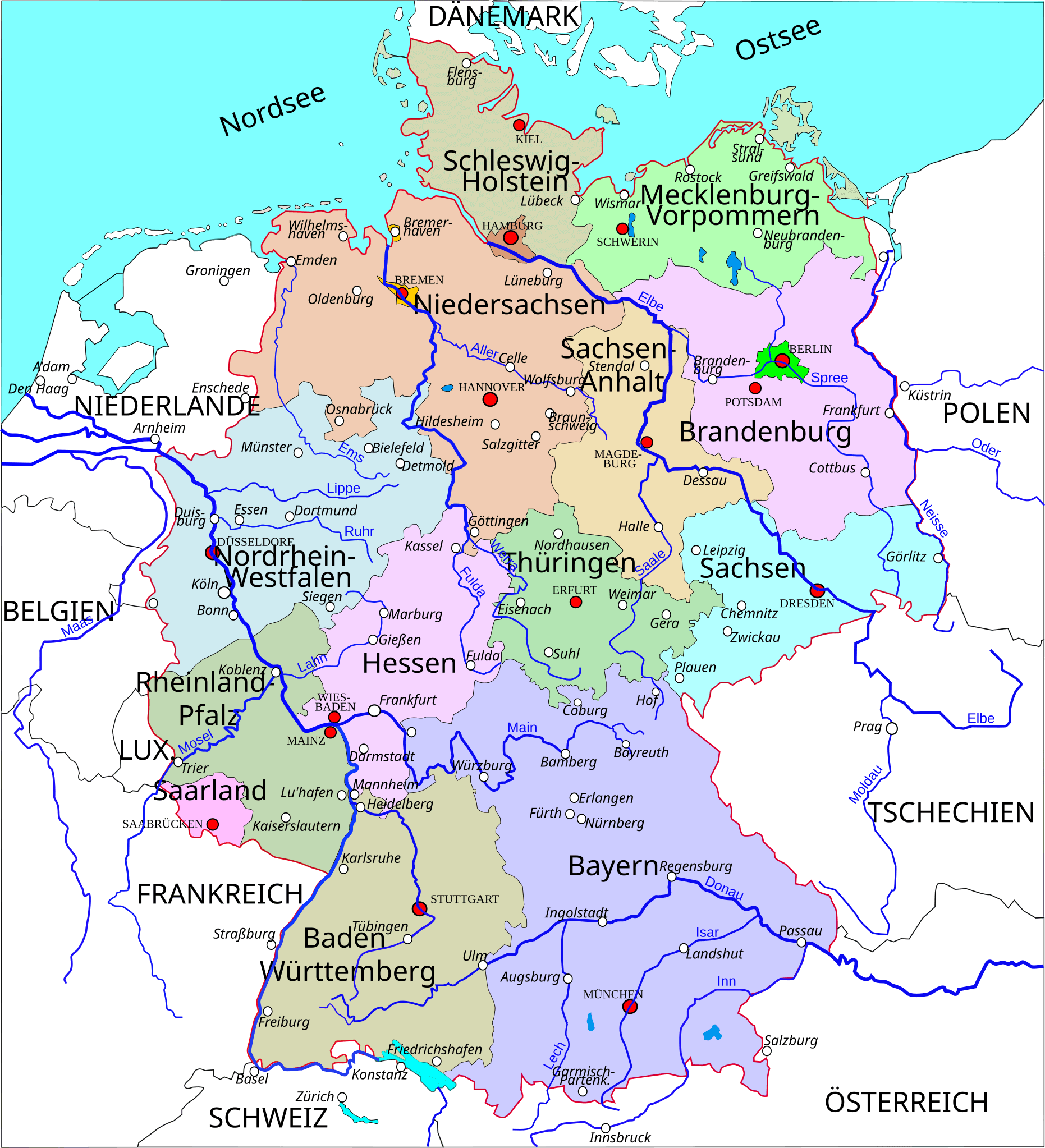
Germany Political Map with Cities and Regions
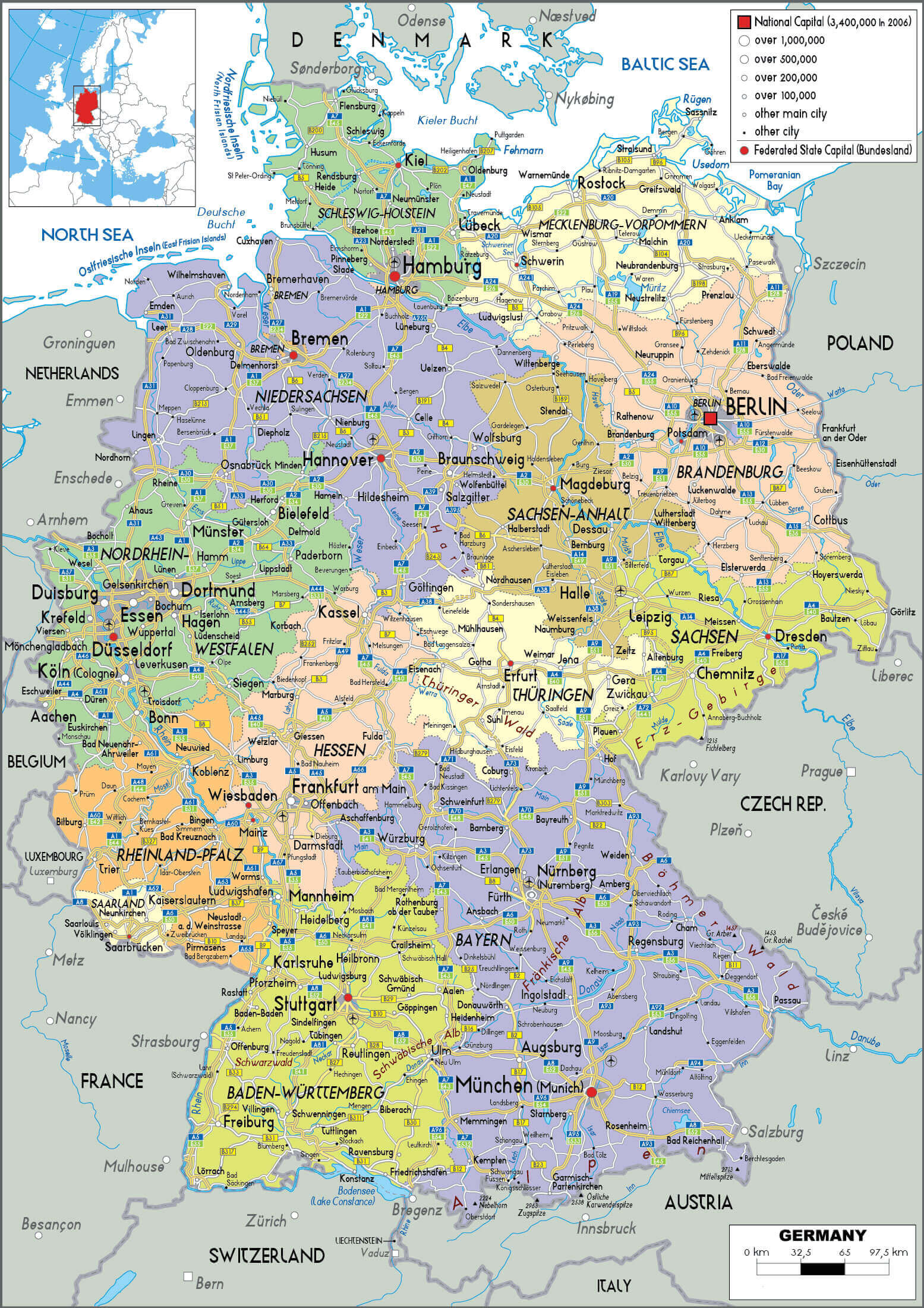 Germany political map with cities regions states and major transportation routes.
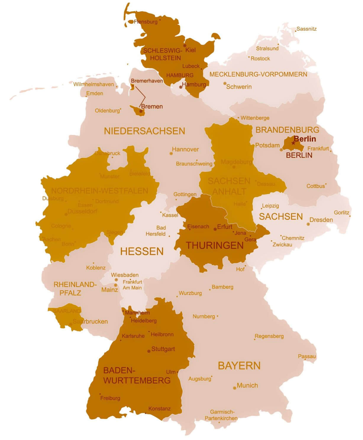
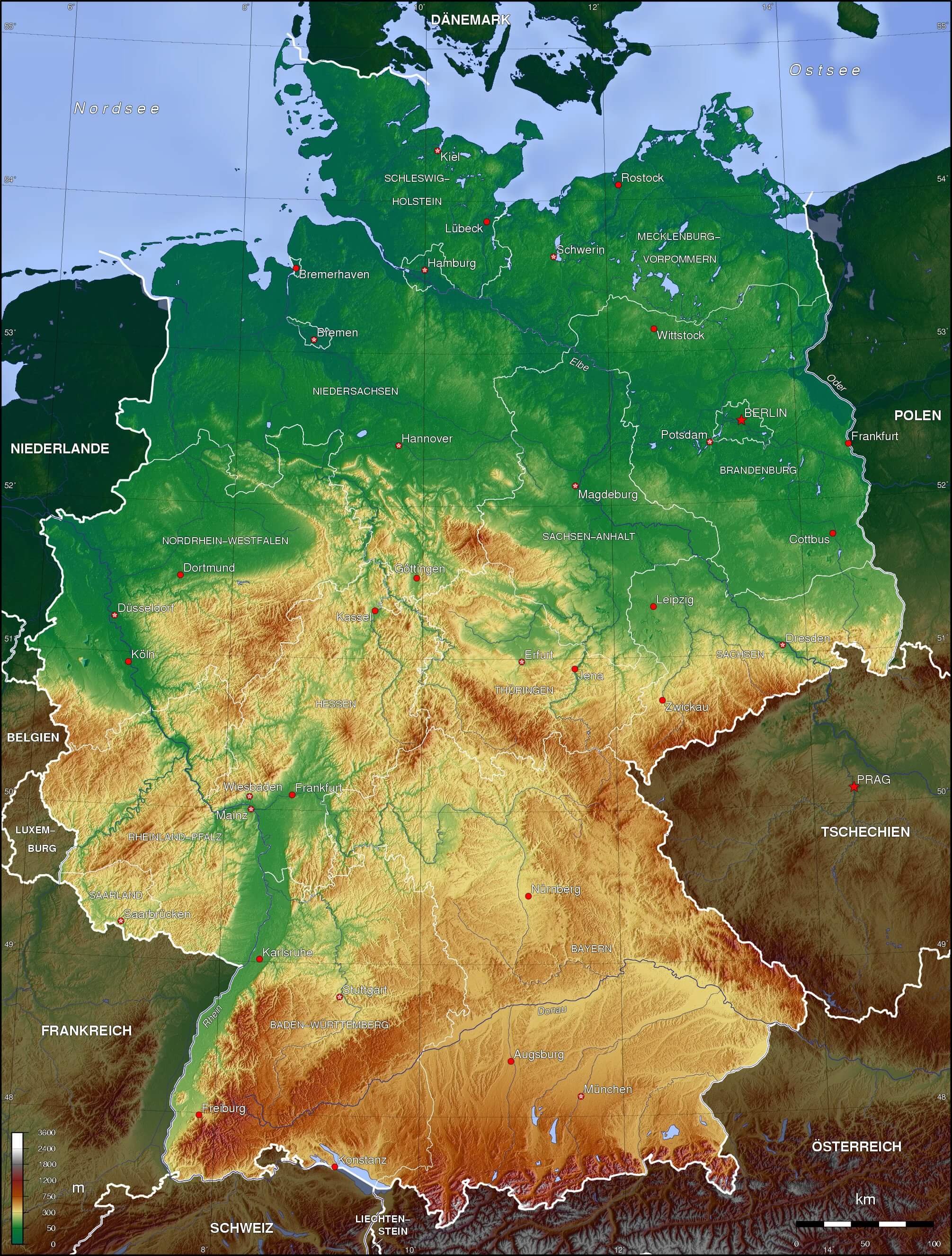
Germany physical map with cities
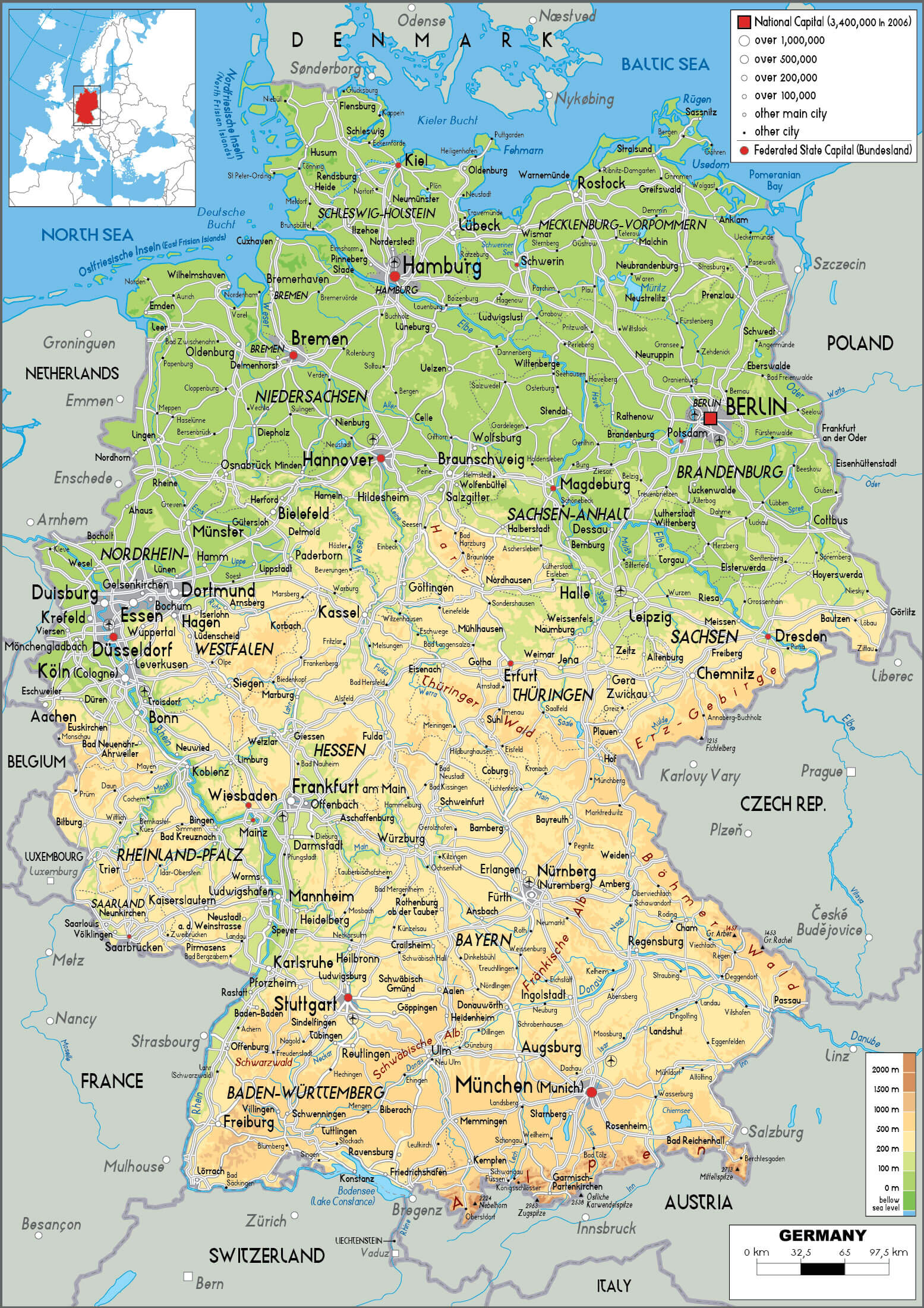
Whether you’re looking for a Germany state map with cities, a 1950–1964 divided Berlin map, or a topo map of Germany with cities, this page provides comprehensive visual guides, including county boundaries, provinces, and regions. Ideal for travelers, educators, and researchers seeking a large Germany map with cities or planning routes using the Germany road map with main cities.
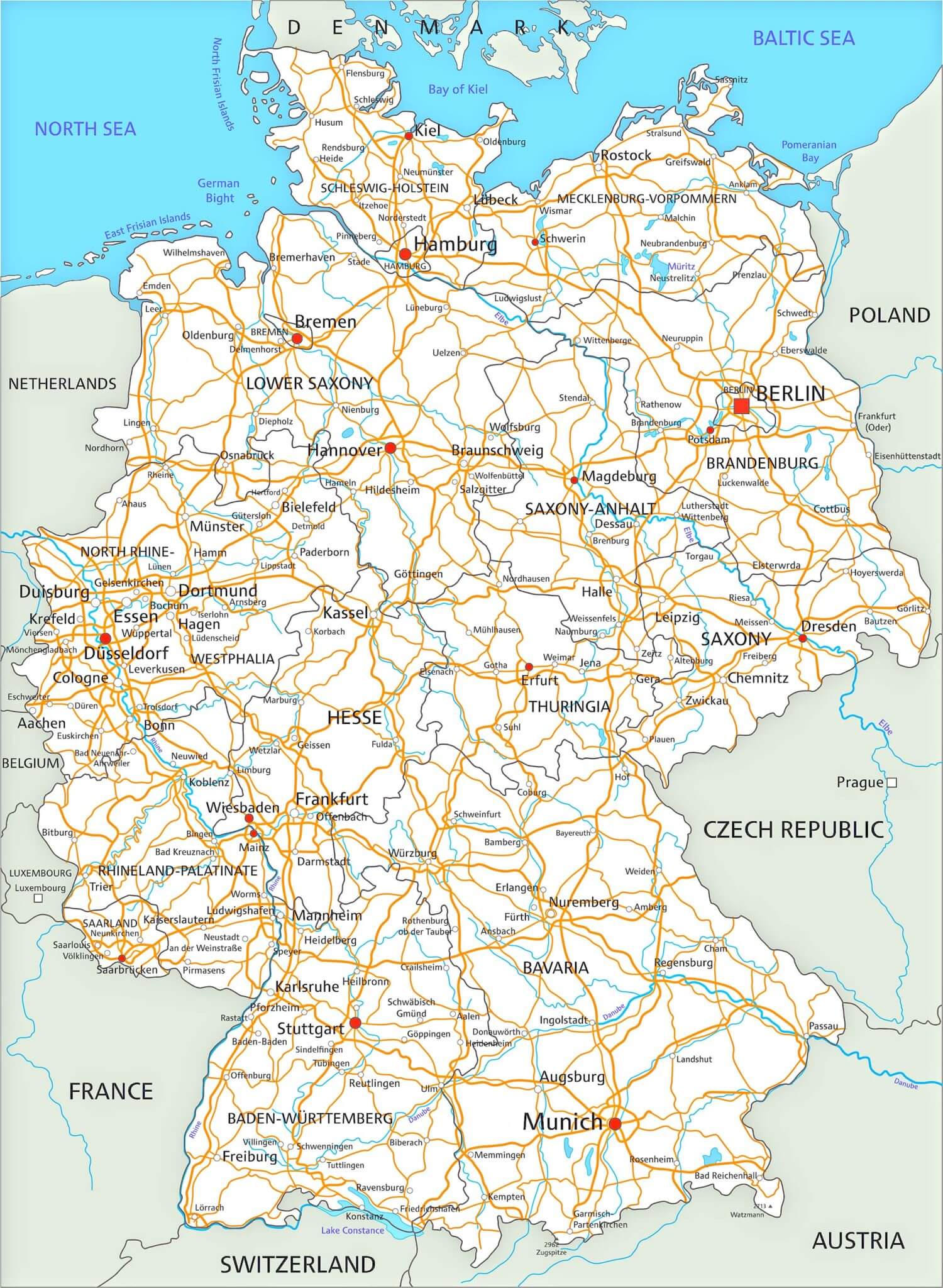
Germany road map with cities

Cities map of Germany with states
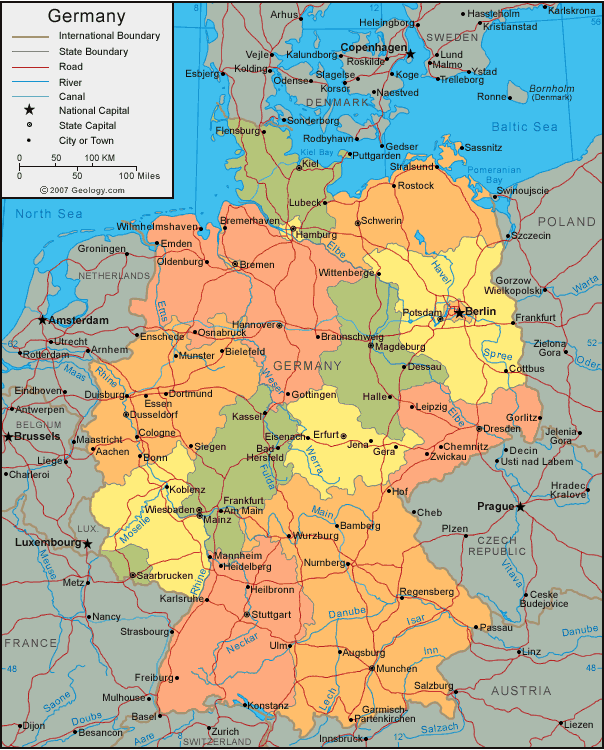
Cities map of Germany
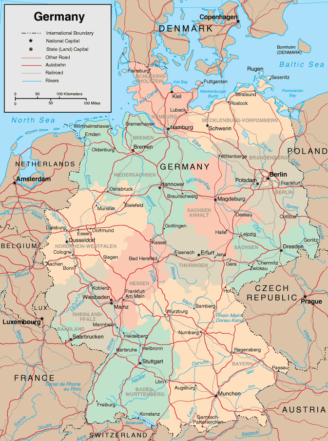
Cities physical map of Germany
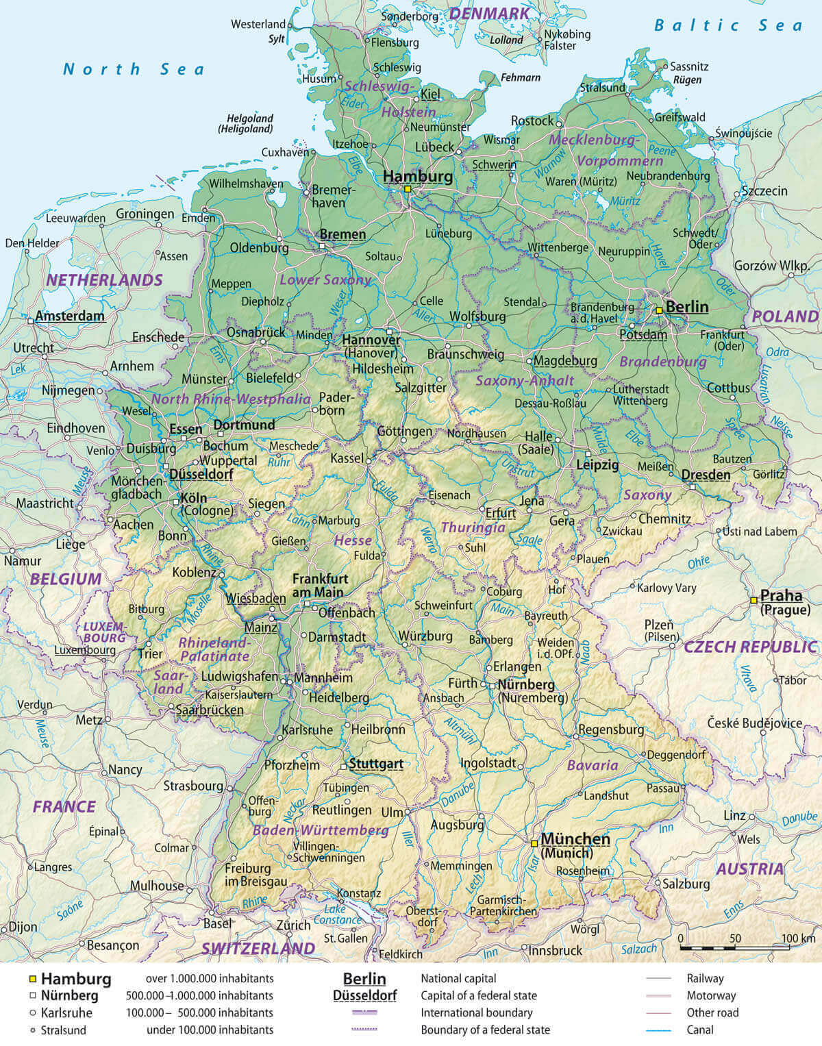
Divided map of Germany 1950 1964 Berlin
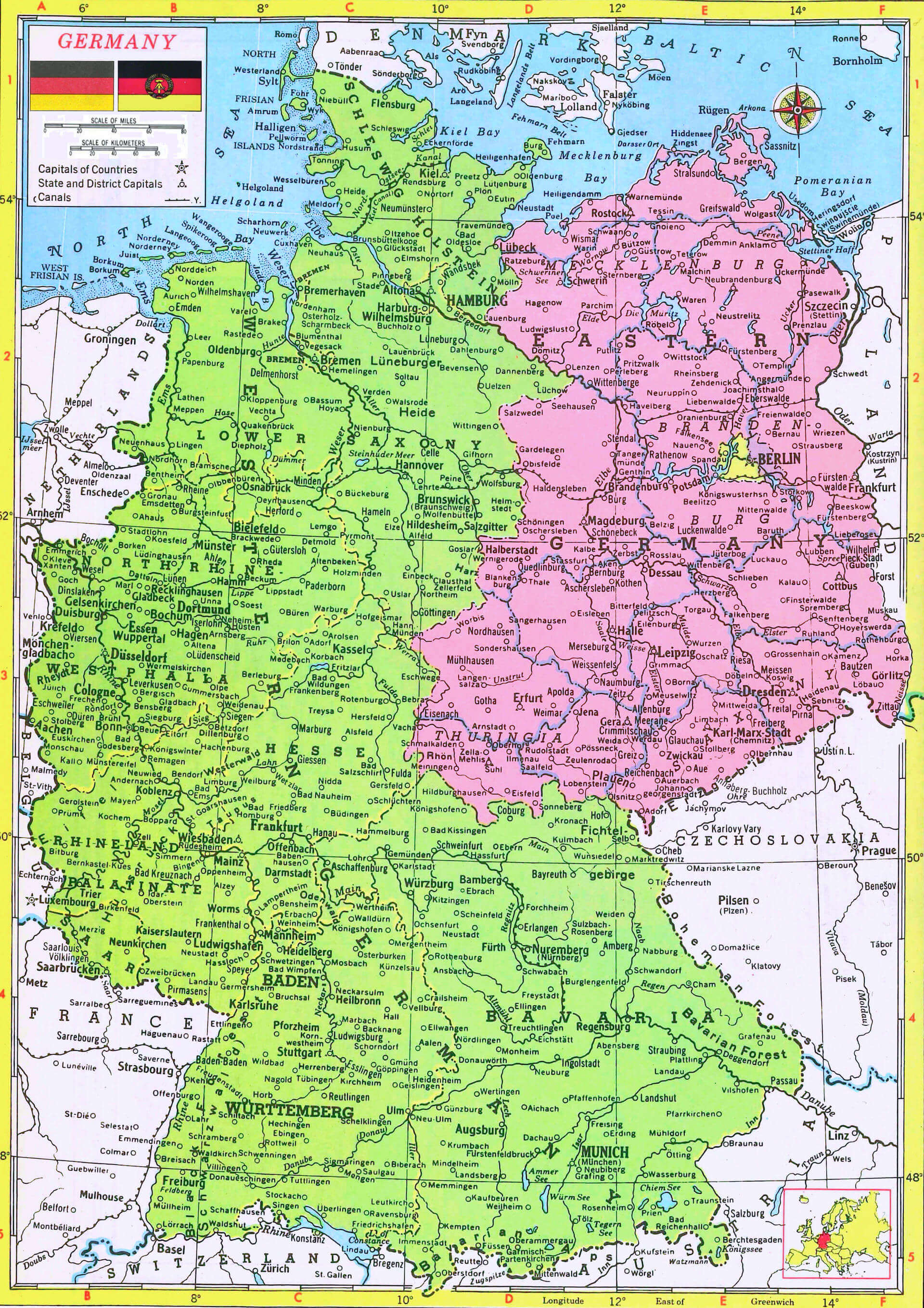
Germany cities map with states
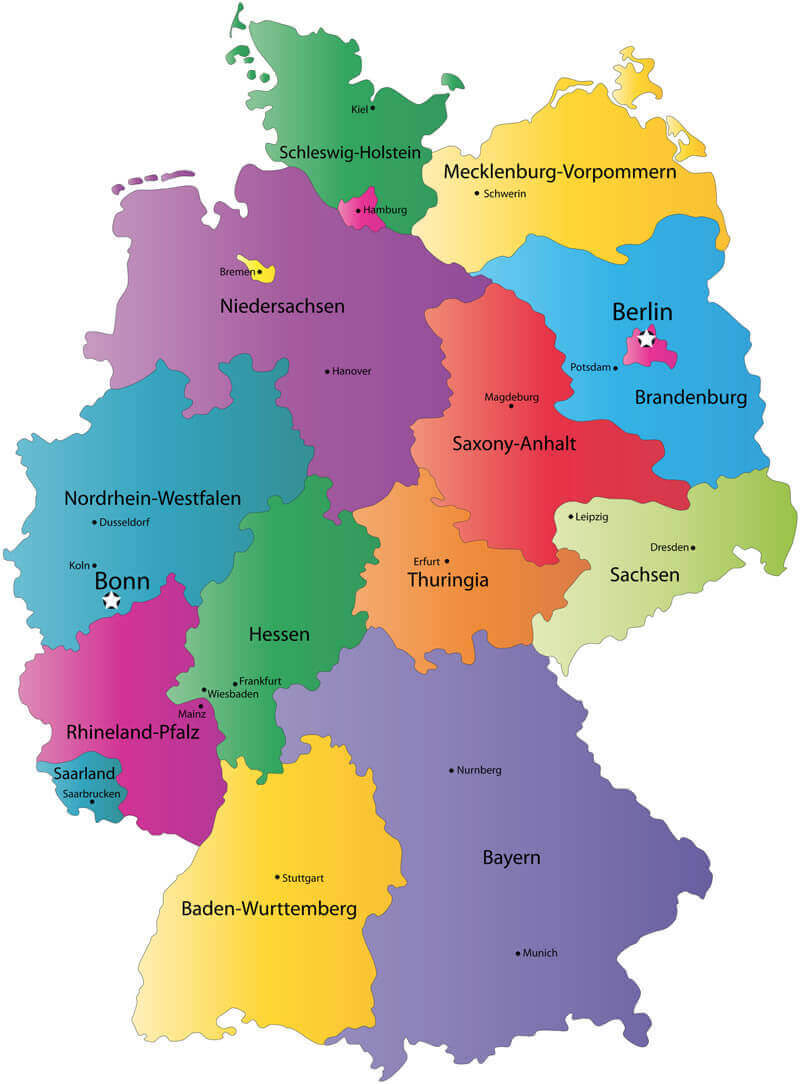
Germany cities transit map
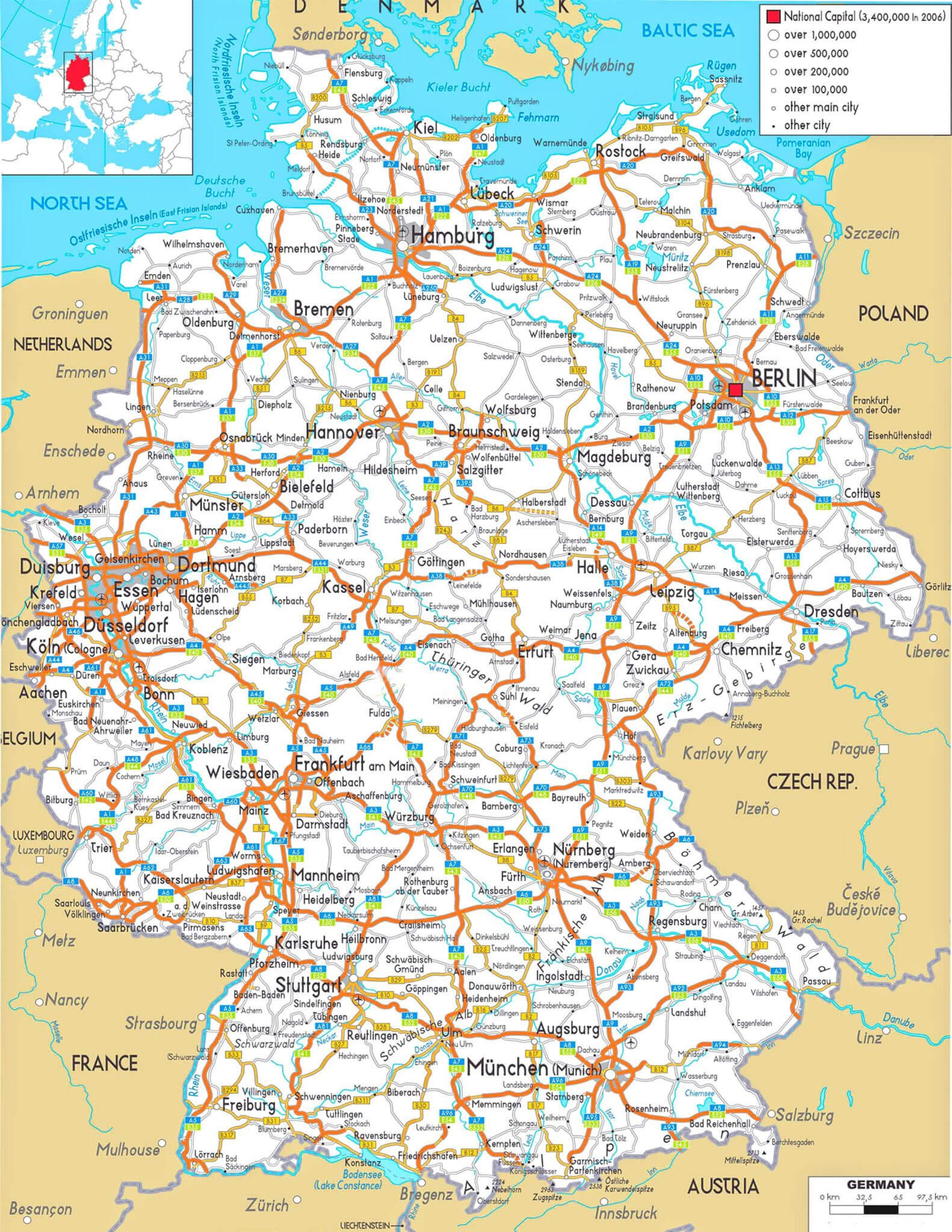
Germany cities urban map
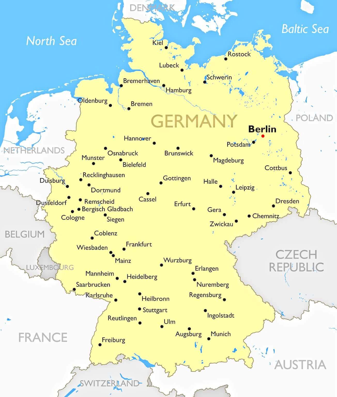
Germany counties and states map
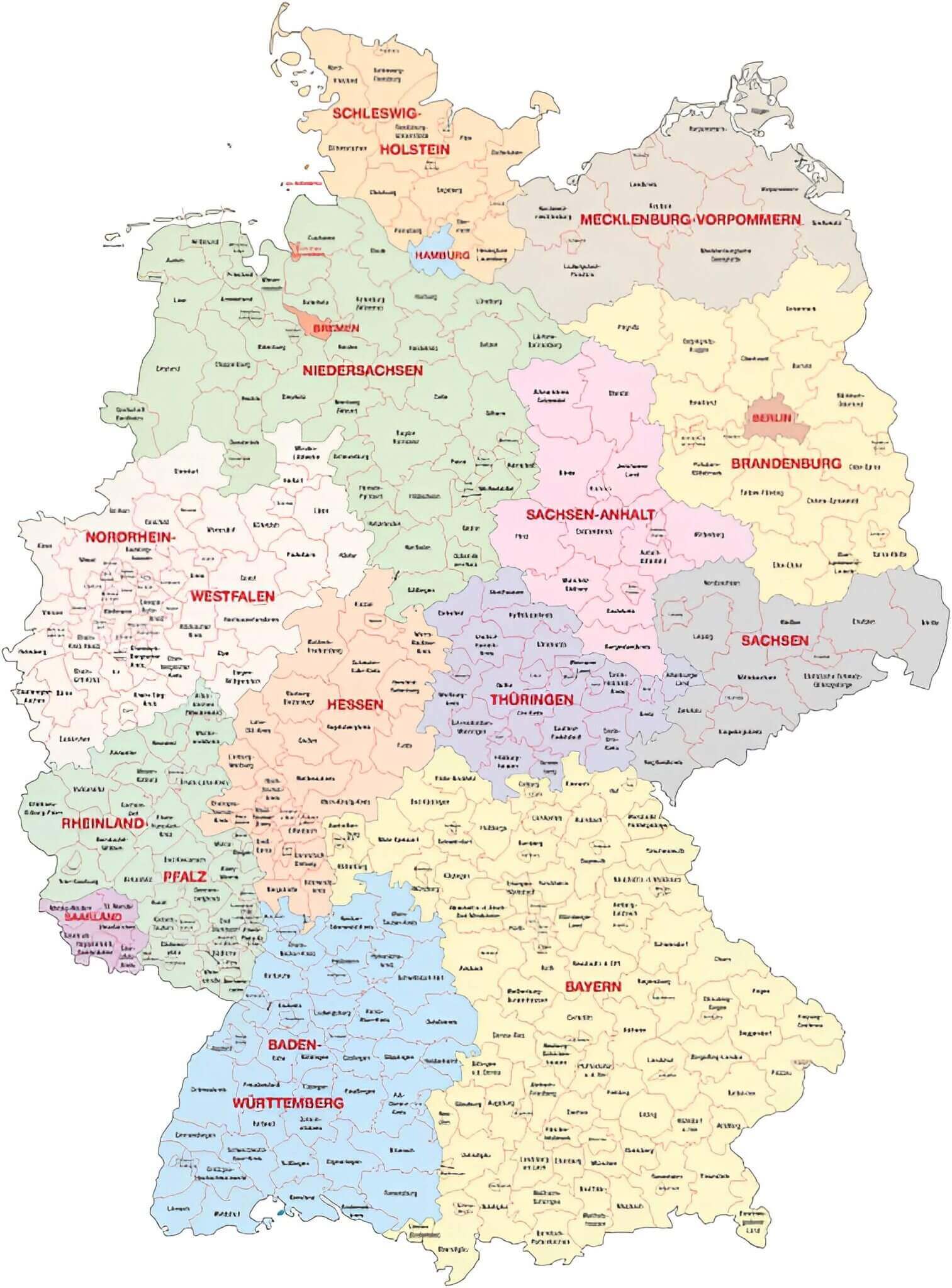
Germany largest cities map
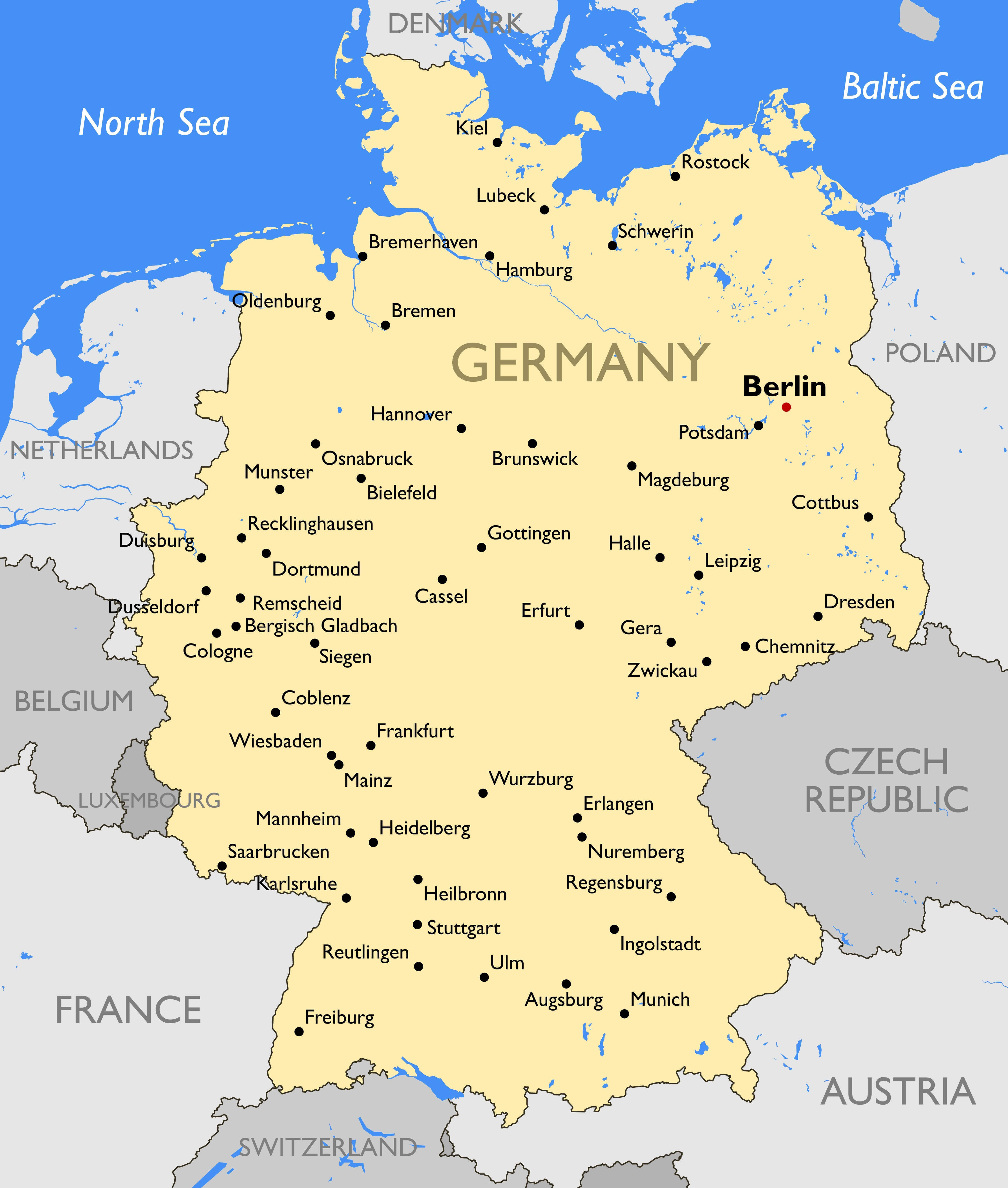
Germany main cities map
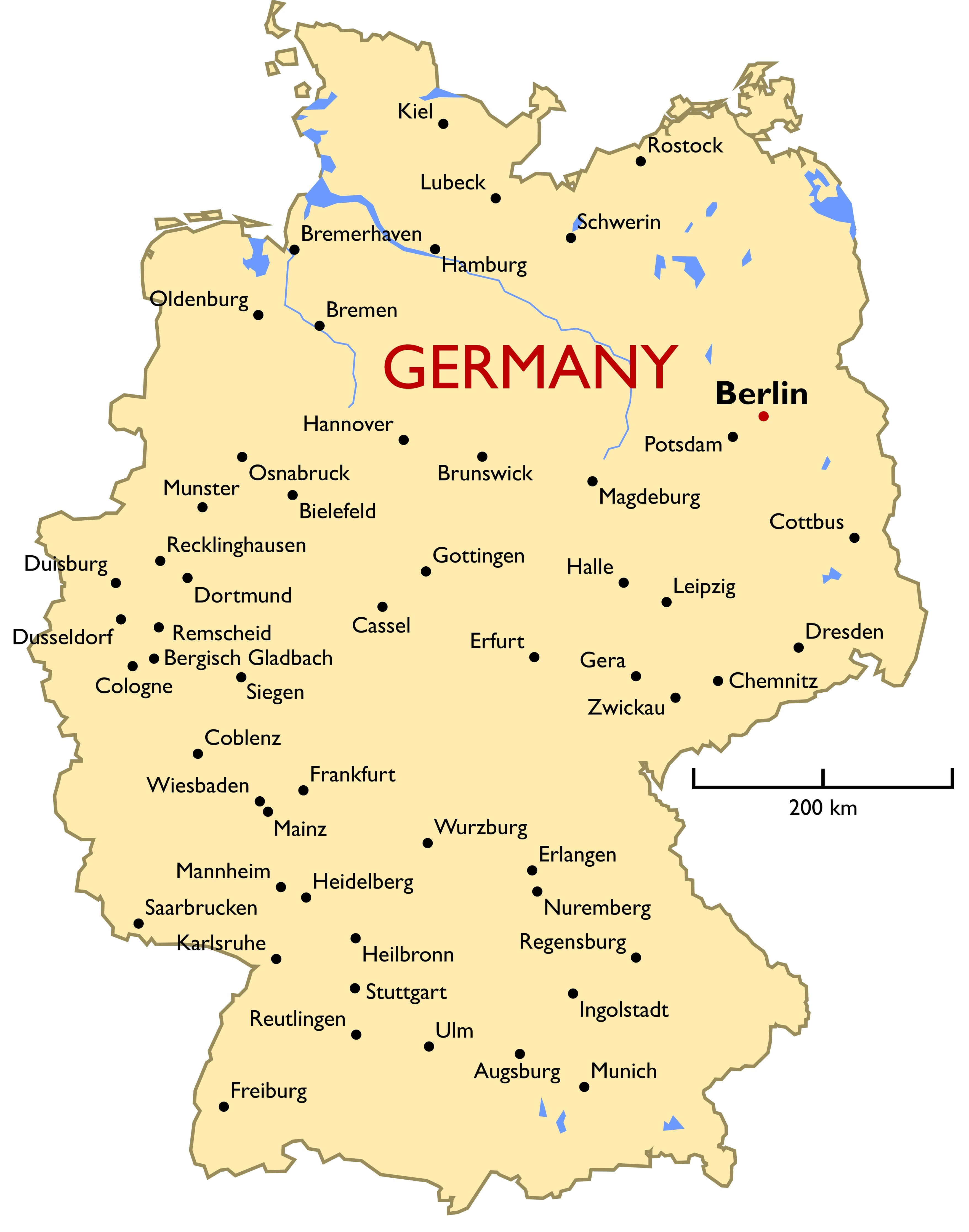
Germany major cities map
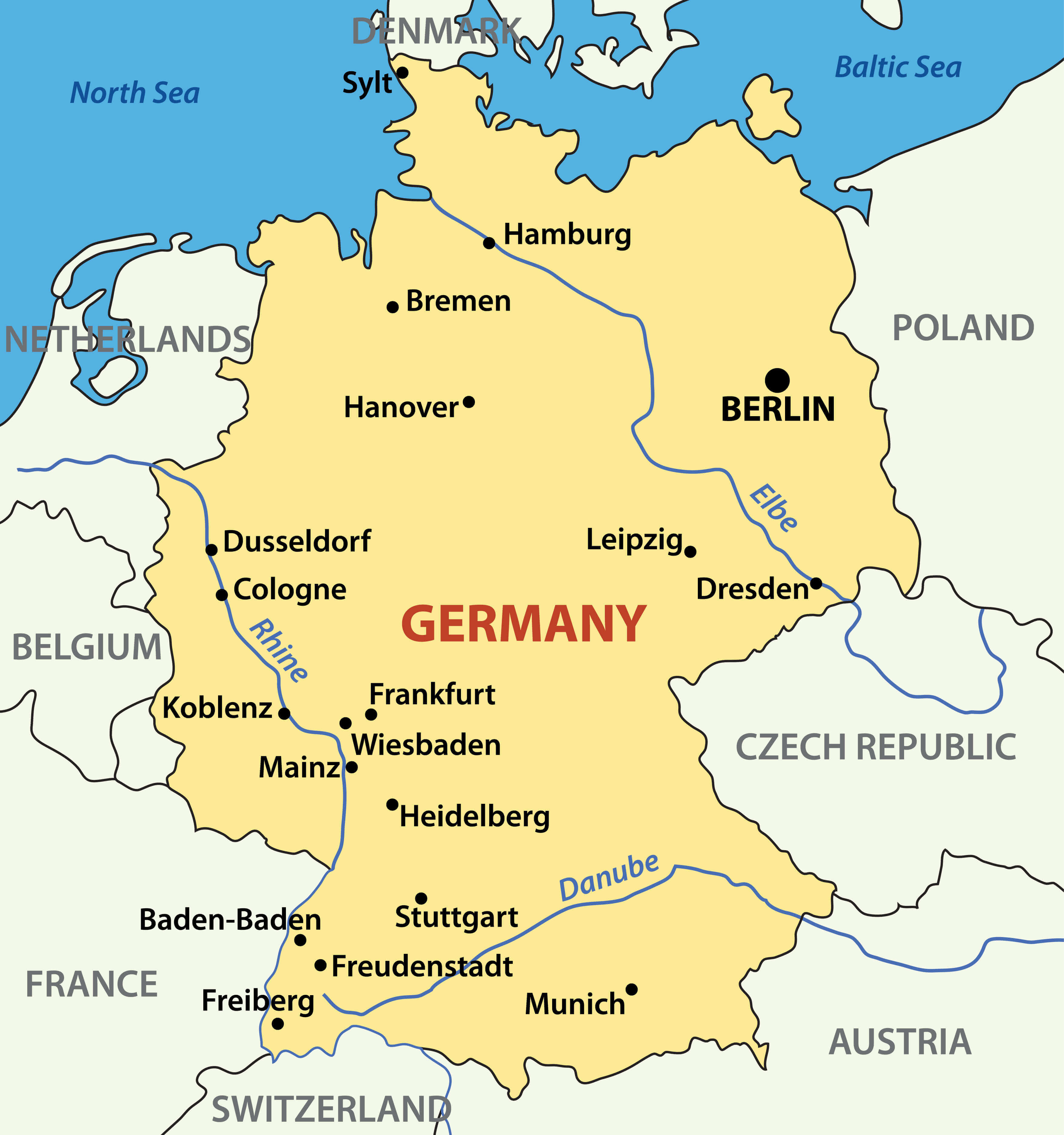
Germany major cities rivers map
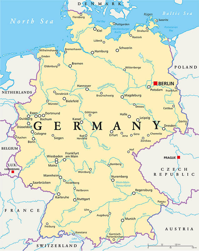
Germany physical map with major cities
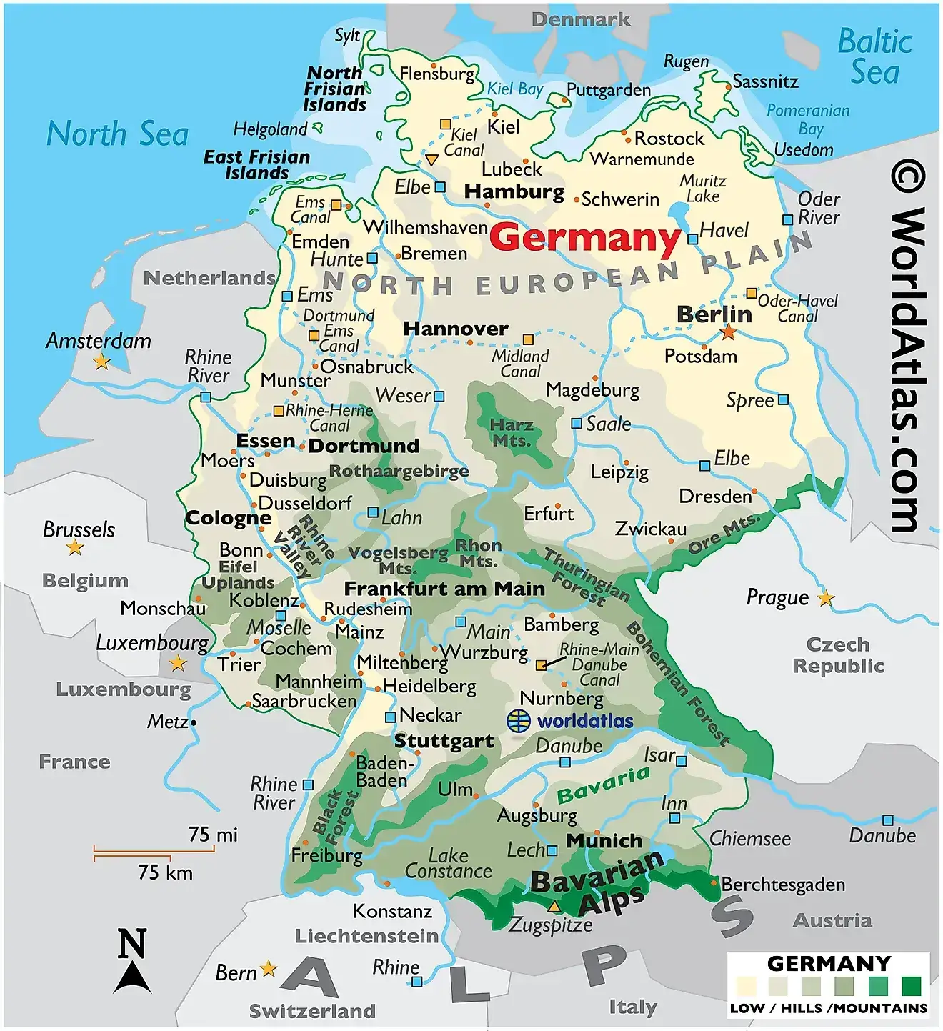
Germany political map with cities and roads

Germany political map with cities

Germany political map with cities
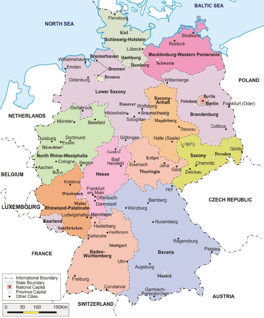
Germany provinces map with cities
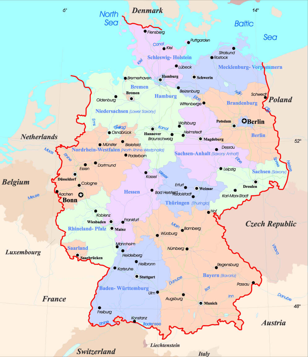
Germany regions and cities map
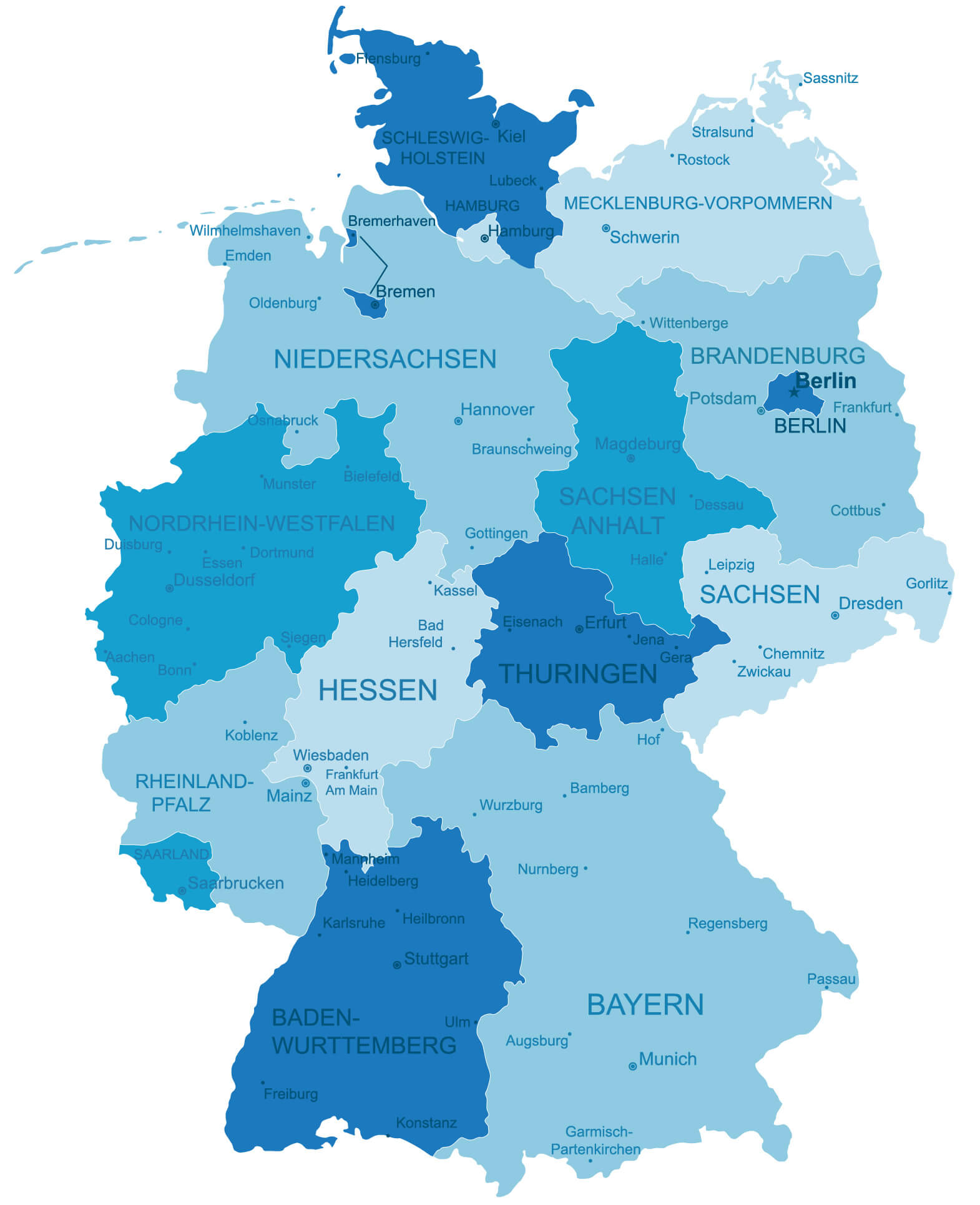
Germany regions cities map by destinations

Germany regions map with cities
Germany road map with main cities
Germany state map with cities
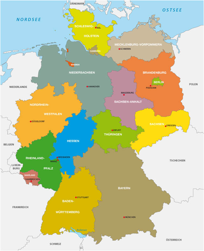
Germany states map with major cities
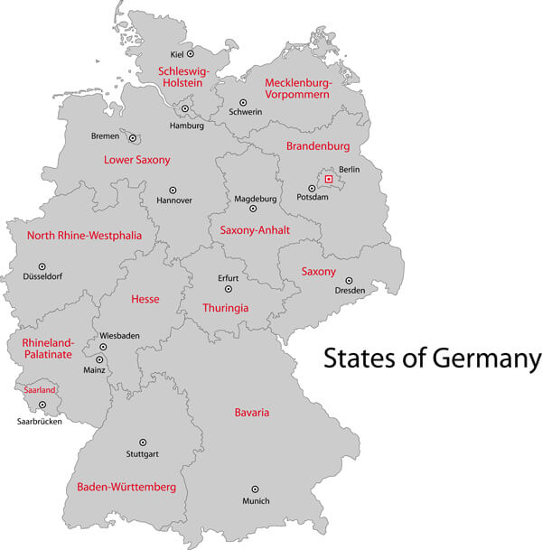
Germany travel map by city destinations
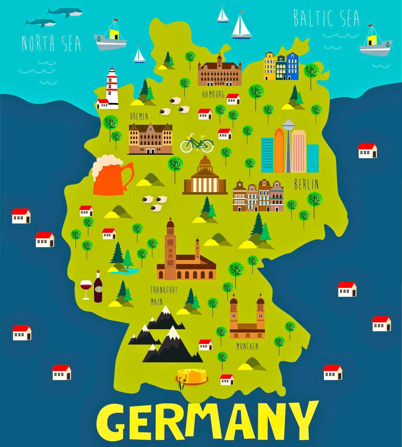
Large Germany map with cities
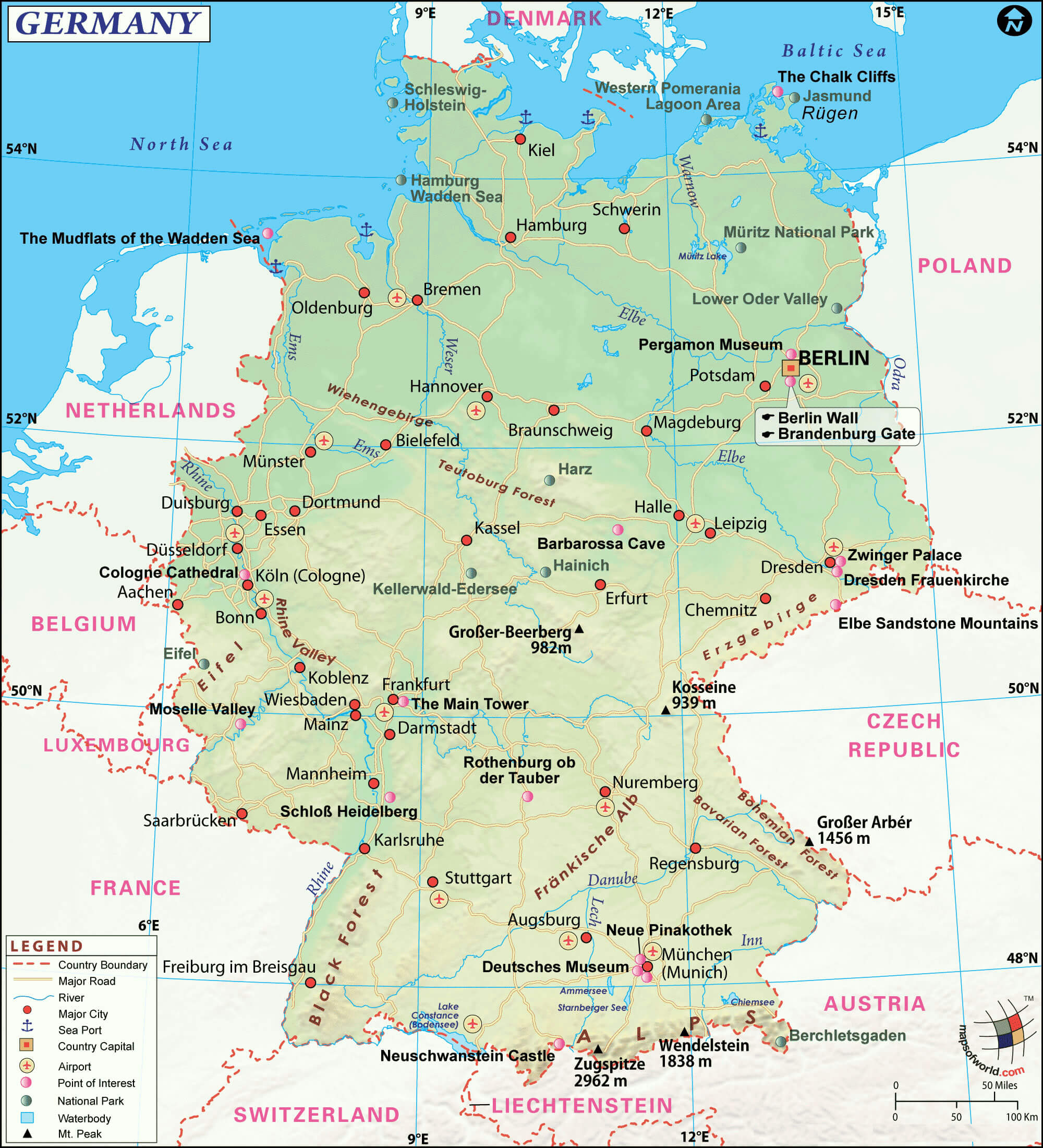
Political map of Germany with cities
Topo map of Germany with cities
Where is Germany on Europe Map?
Show Google interactive map, satellite map, where is the country located.
Get direction by driving, walking, bicycling, public transportation and travel with street view.
Feel free to explore these pages as well:
- Germany Map ↗️
- Germany High-Resolution Map ↗️
- Map of Germany ↗️
- Germany Map ↗️
- Germany Time Zone Map ↗️
- Where is Magdeburg on the Germany Map ↗️
- Discovering the Charms of Cologne ↗️
- Exploring the Charm of Bremen ↗️
- Discover Bochum ↗️
- Discovering Bielefeld ↗️
- A Collection of Czechia Maps ↗️
- Belgium Map ↗️
- Netherlands Map ↗️
- A Collection of Poland Maps ↗️
- Europe Map ↗️
- Advertisement -
