- Advertisement -
Discover our detailed Pennsylvania Cities Map, featuring all counties, major cities, and interstate routes across the state. This colorful Pennsylvania map highlights main roads, railways, and population centers, offering a clear view of congressional districts, physical geography, and metropolitan areas within the U.S. state of Pennsylvania.
Pennsylvania Counties Map
 Map of Pennsylvania counties showing boundaries and major cities.
Pennsylvania major cities map
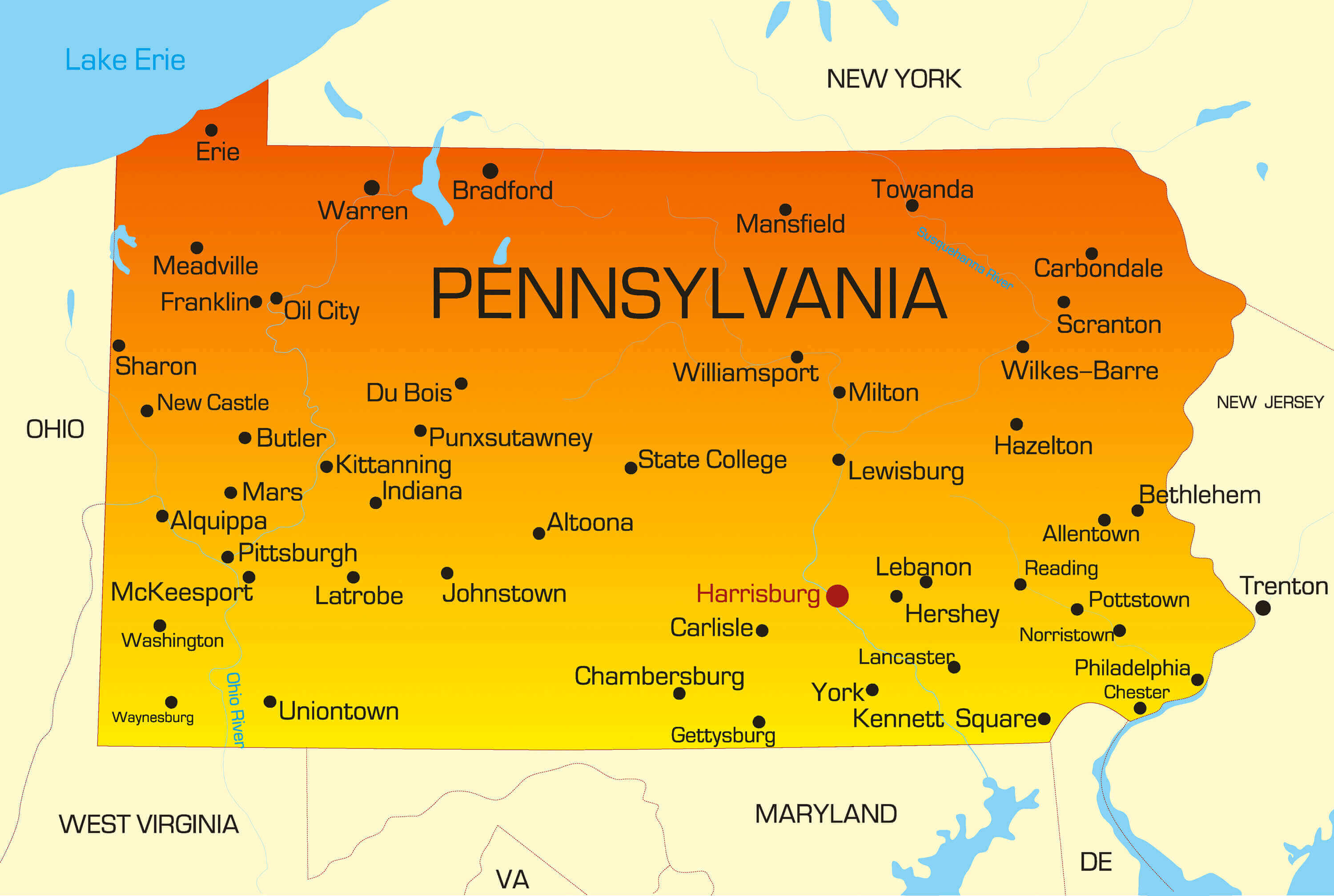
Pennsylvania counties map
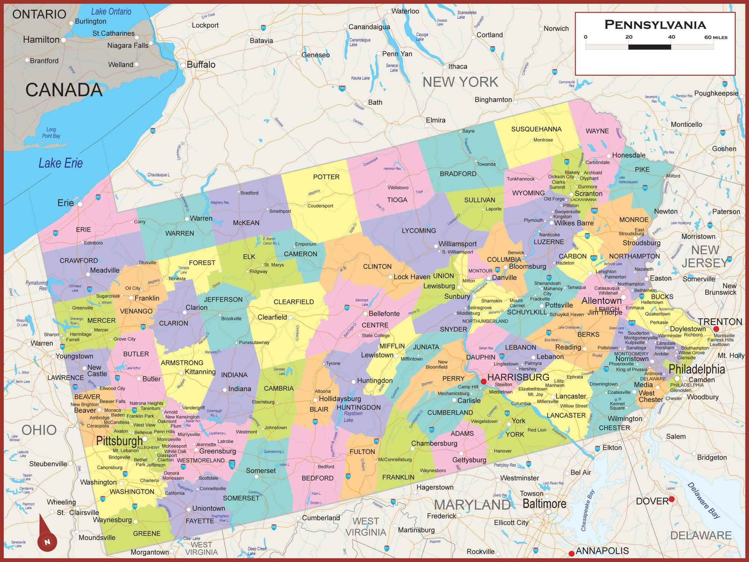
Cities map of Pennsylvania with interstate routes

Colorful map of Pennsylvania with cities
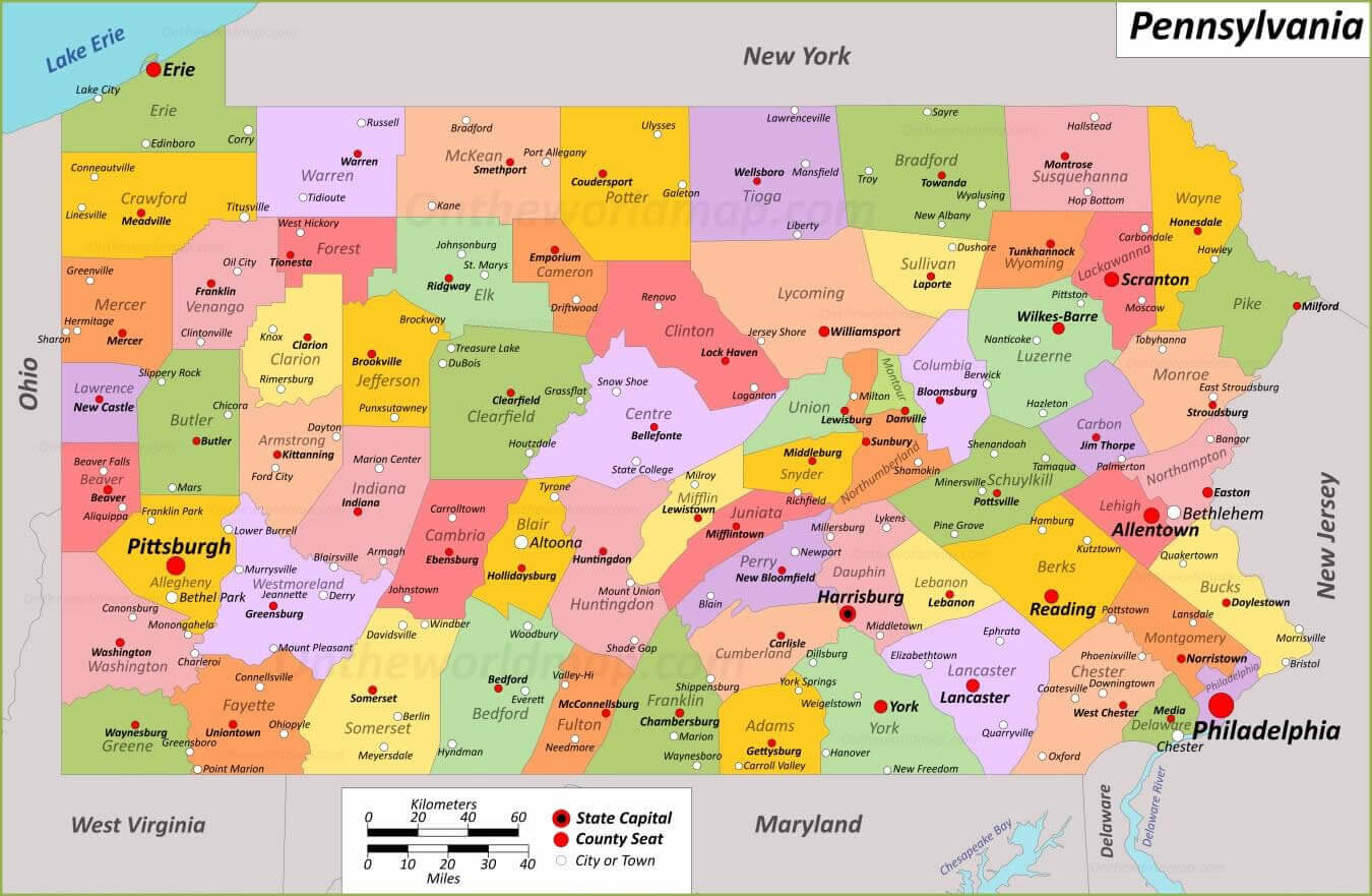
Pennsylvania cities and railway map in 1872
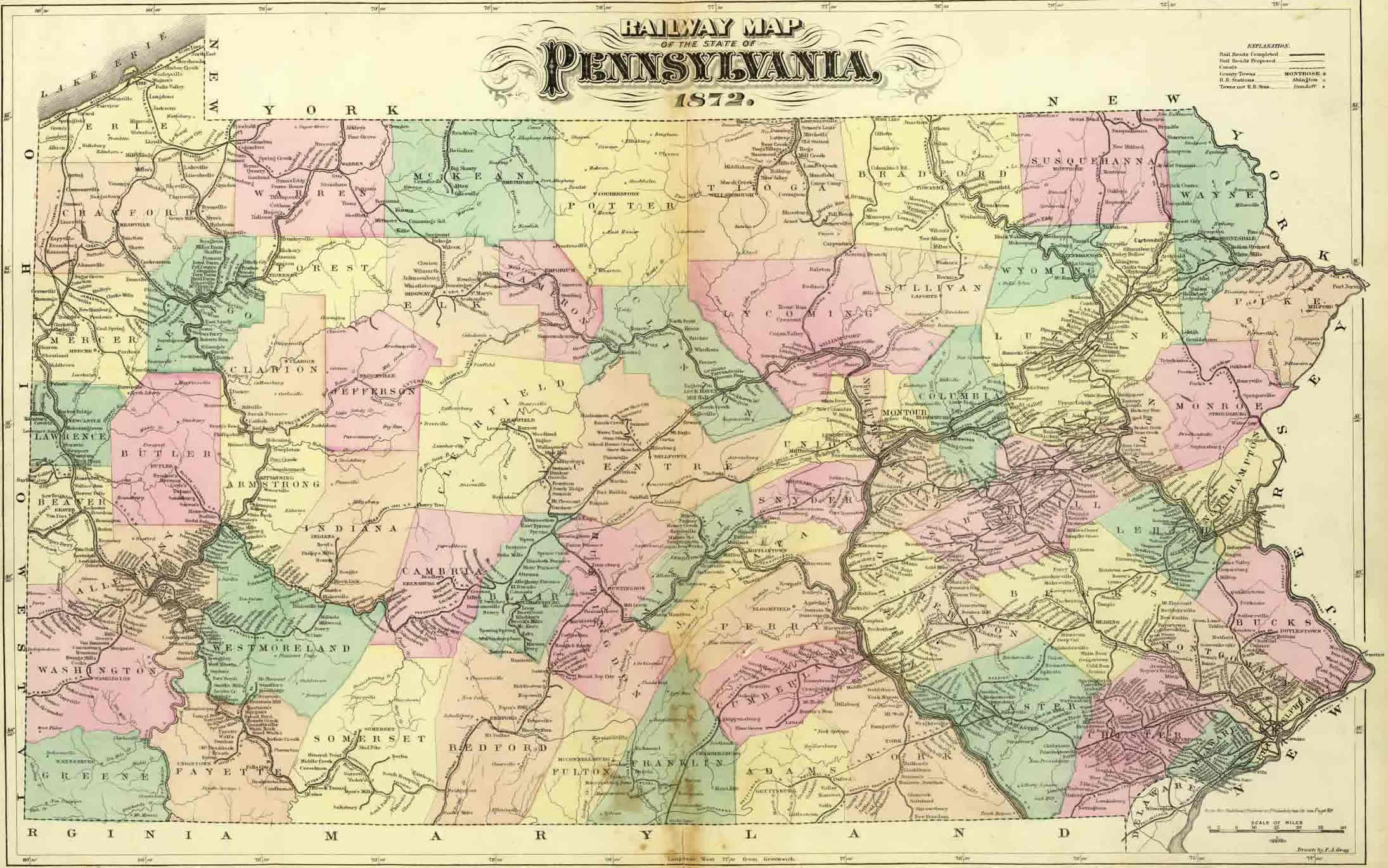
Pennsylvania cities counties map
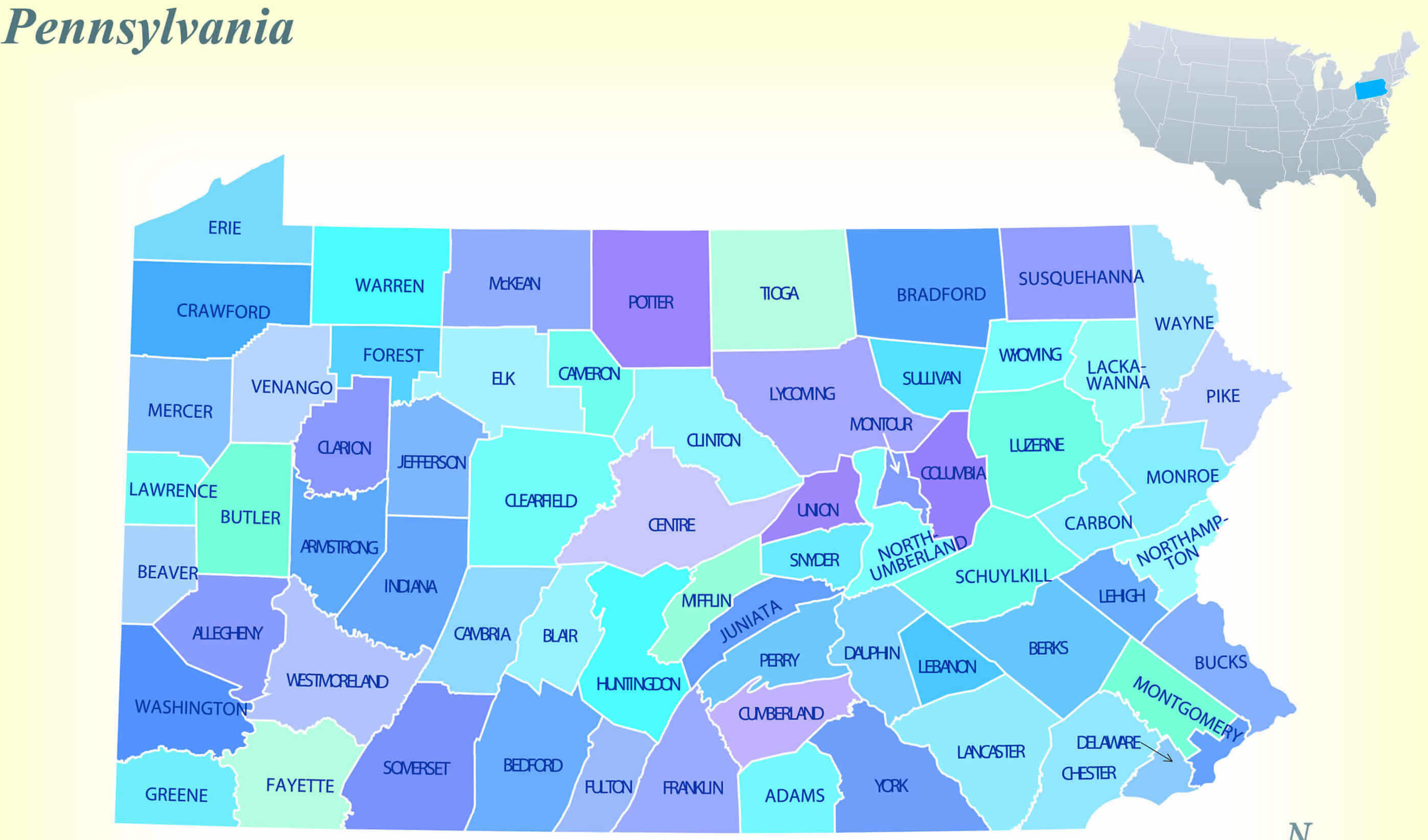
Pennsylvania cities interstate map
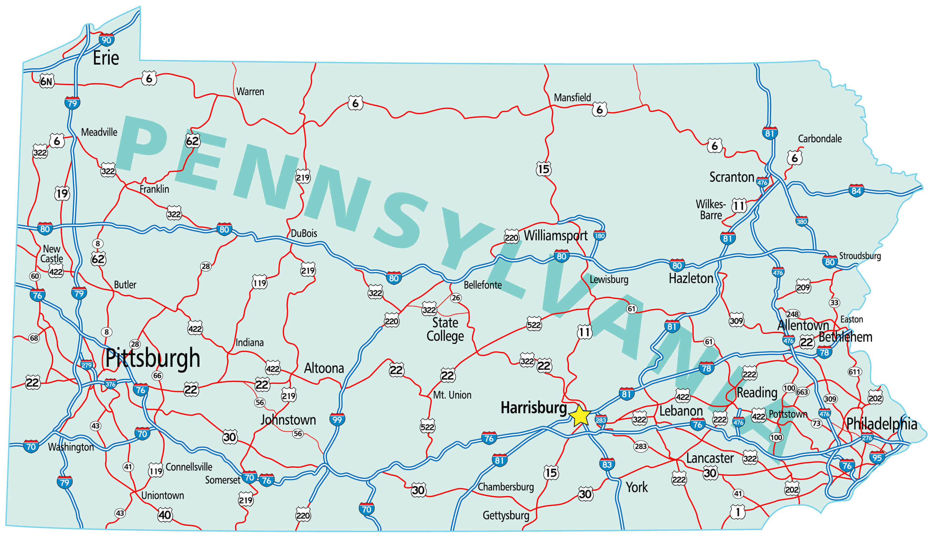
Pennsylvania cities main road map
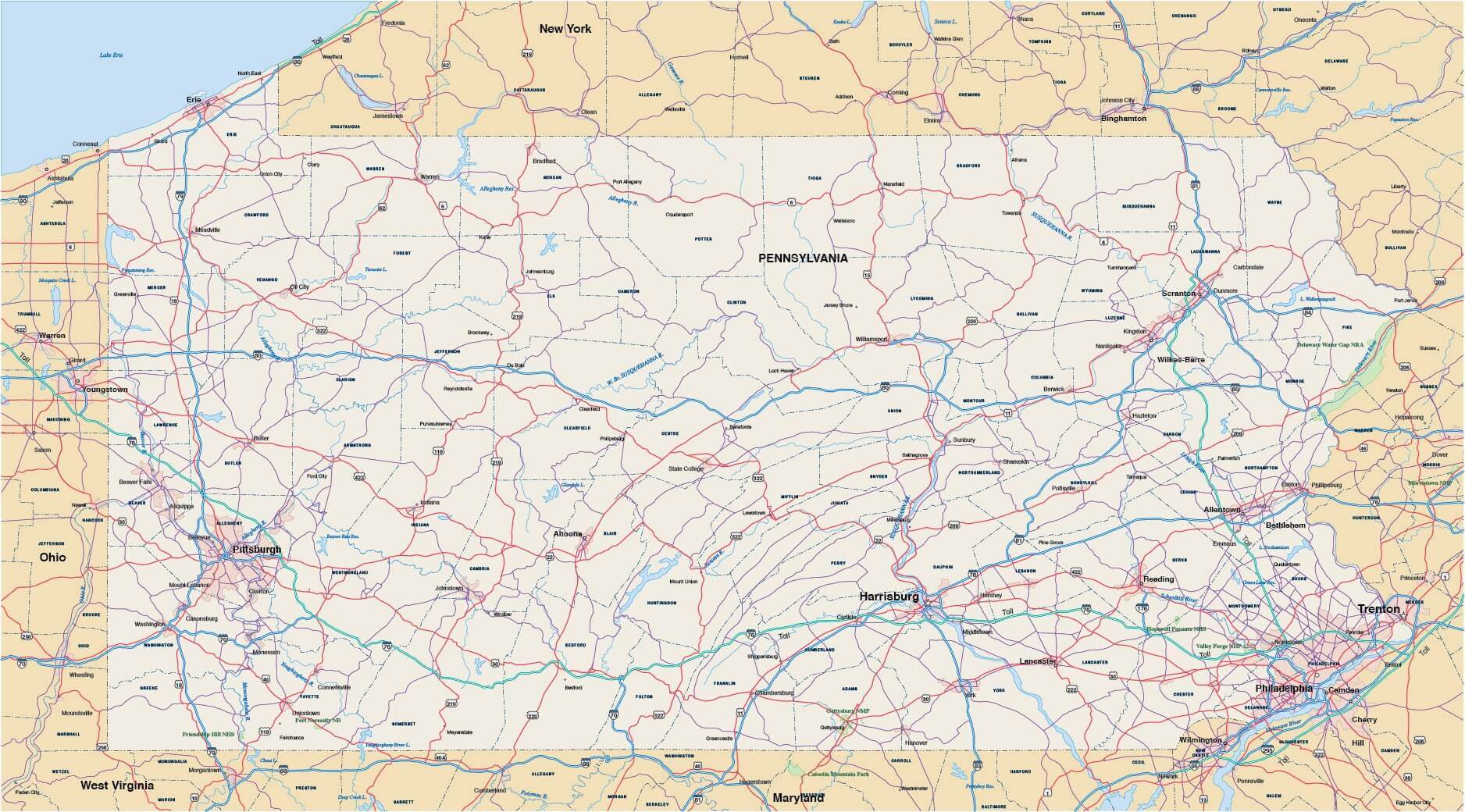
Pennsylvania cities map

Pennsylvania cities population map
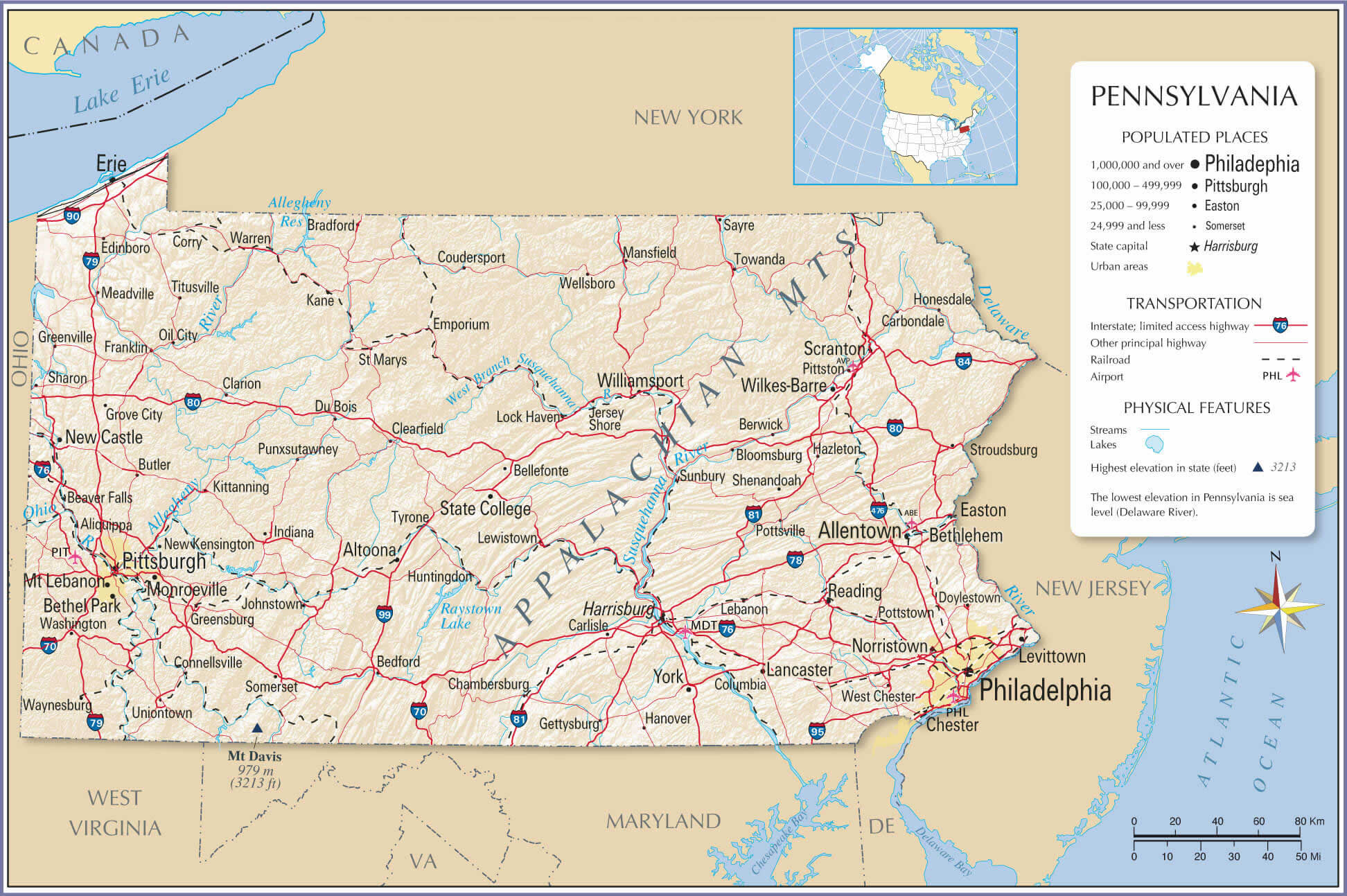
Pennsylvania cities road map
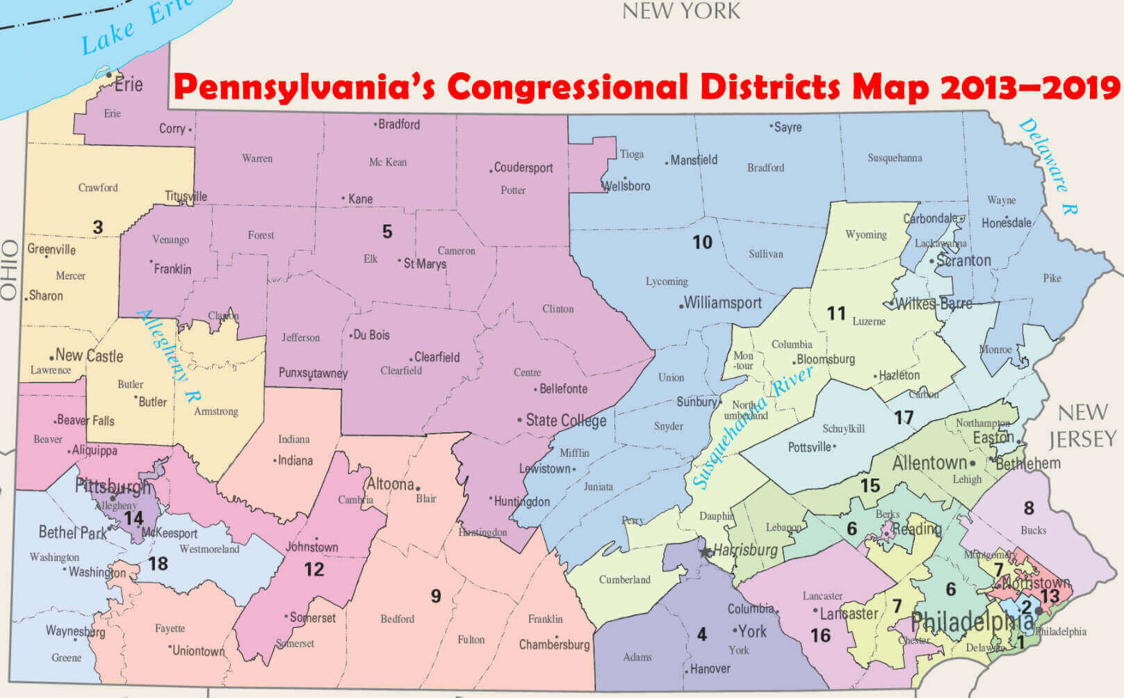
Pennsylvania congressional districts map
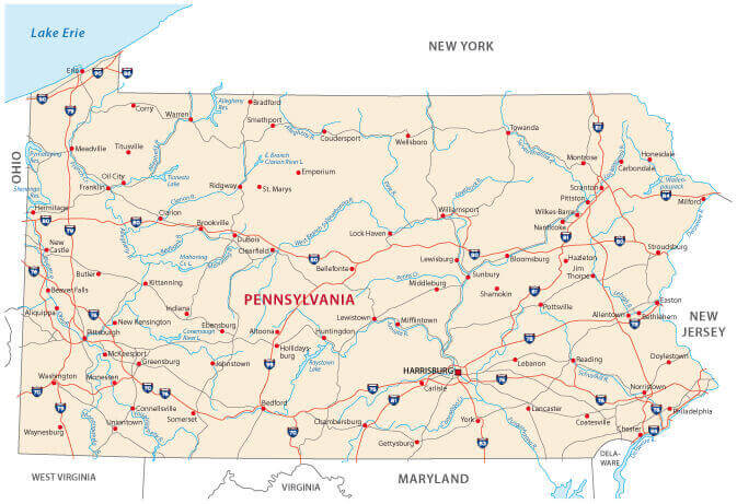
Pennsylvania counties and cities map in the US

Pennsylvania counties map main roads
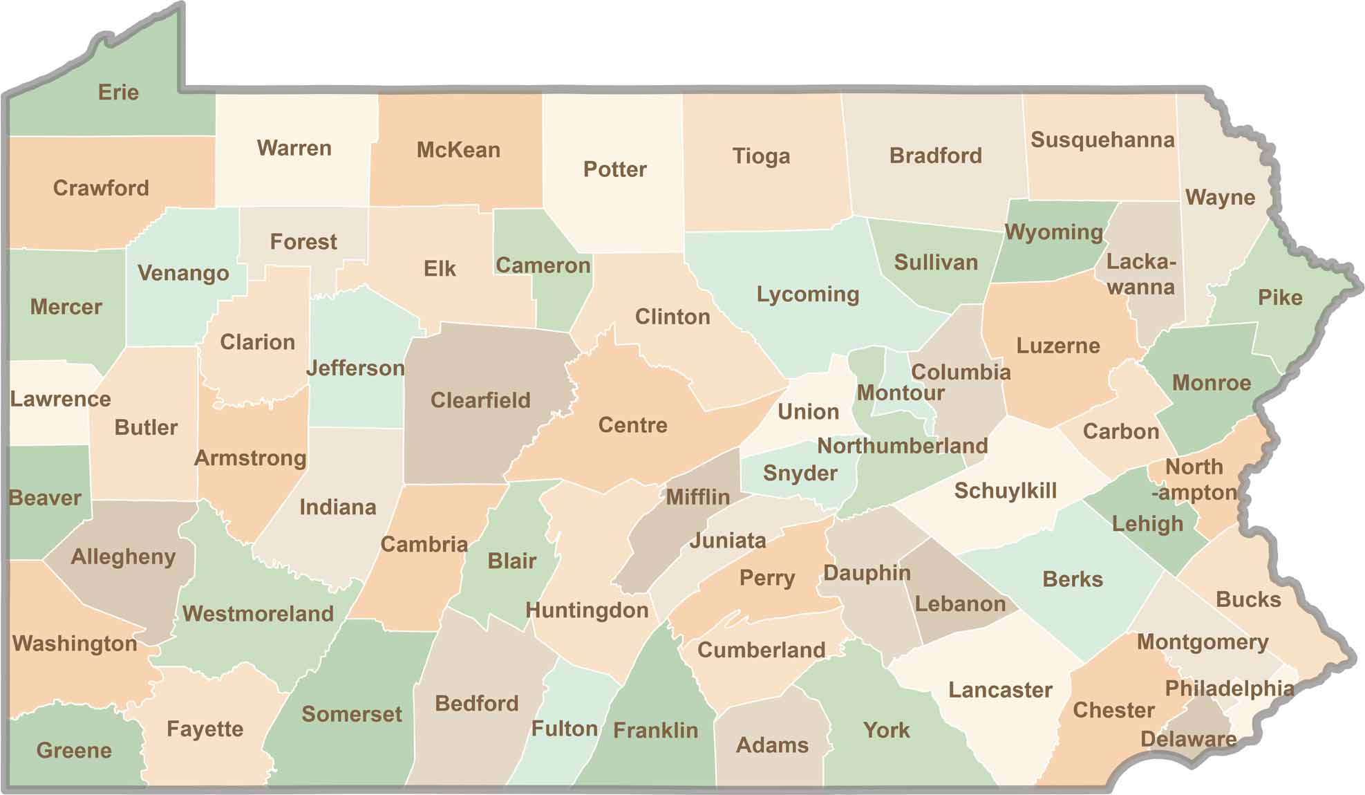
Pennsylvania county map
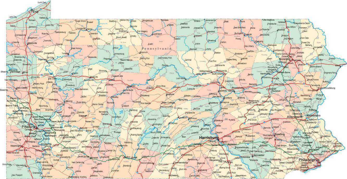
Pennsylvania interstate road map

Pennsylvania largest cities map
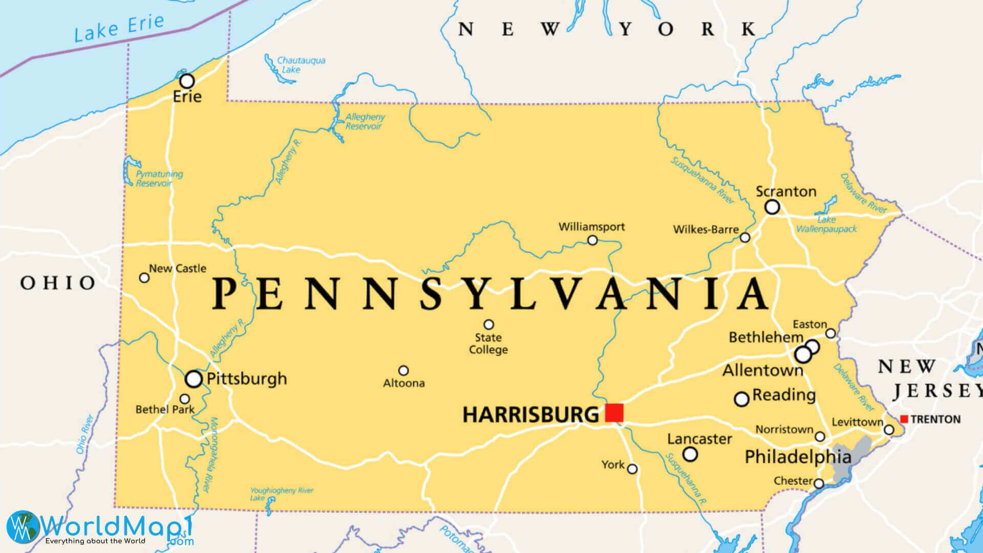
Pennsylvania main cities and counties map
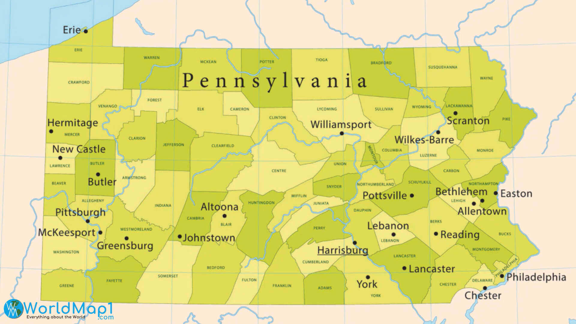
Pennsylvania map with cities
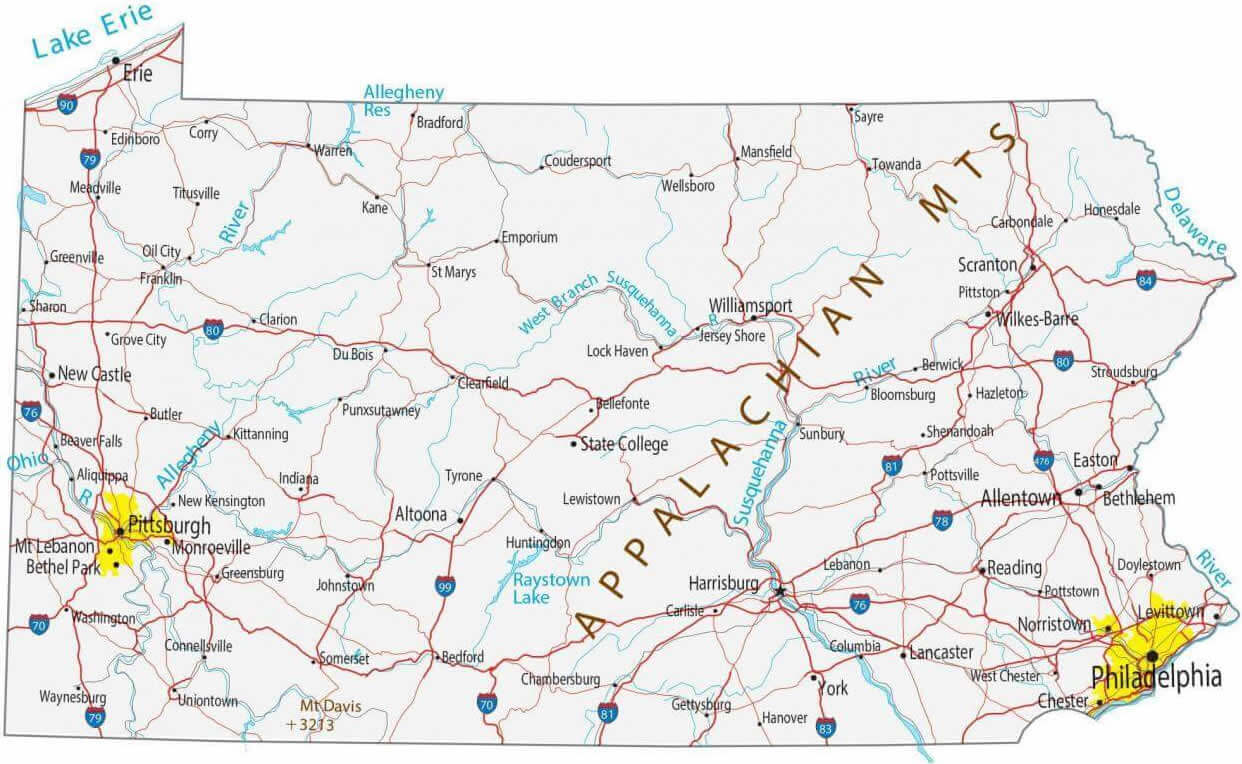
Pennsylvania national atlas map with metropol cities

Pennsylvania physical map with cities

Pennsylvania state map wth cities in the US
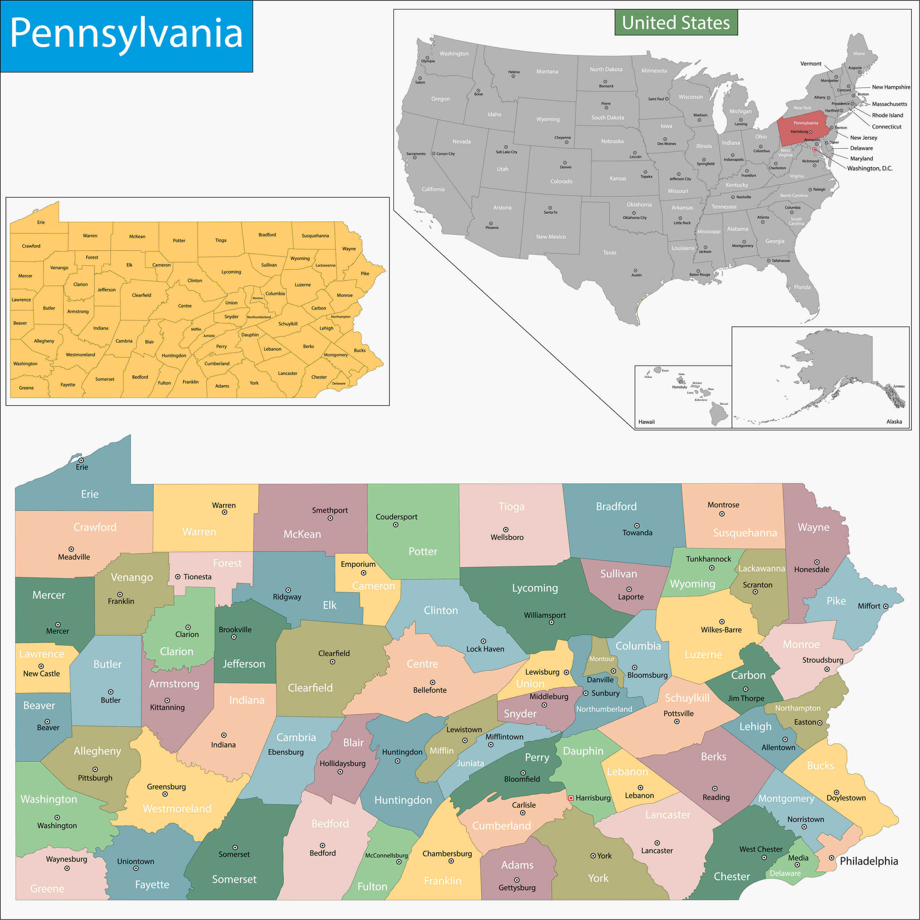
Where is Pennsylvania on the United States Map?
Show Google map, satellite map, where is the country located.
Get directions by driving, walking, bicycling, public transportation and travel with street view.
Feel free to explore these pages as well:
- US Cities Map ↗️
- United States Cities Map ↗️
- California Cities Map ↗️
- Texas Cities Map ↗️
- New York Cities Map ↗️
- Florida Cities Map ↗️
- Illinois Cities Map ↗️
- Ohio Cities Map ↗️
- Georgia Cities Map ↗️
- North Carolina Cities Map ↗️
- Michigan Cities Map ↗️
- New Jersey Cities Map ↗️
- Virginia Cities Map ↗️
- Washington Cities Map ↗️
- United States Map ↗️
- Map of United States ↗️
- North America Map ↗️
- Advertisement -
