- Advertisement -
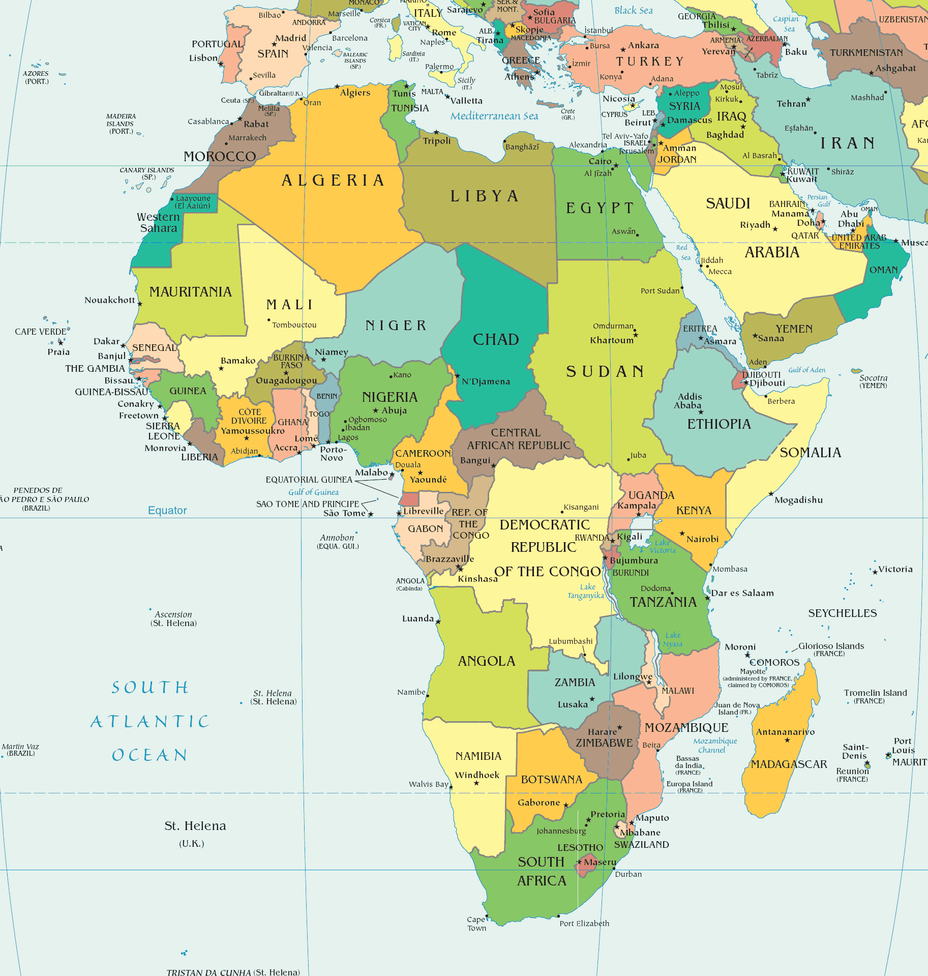
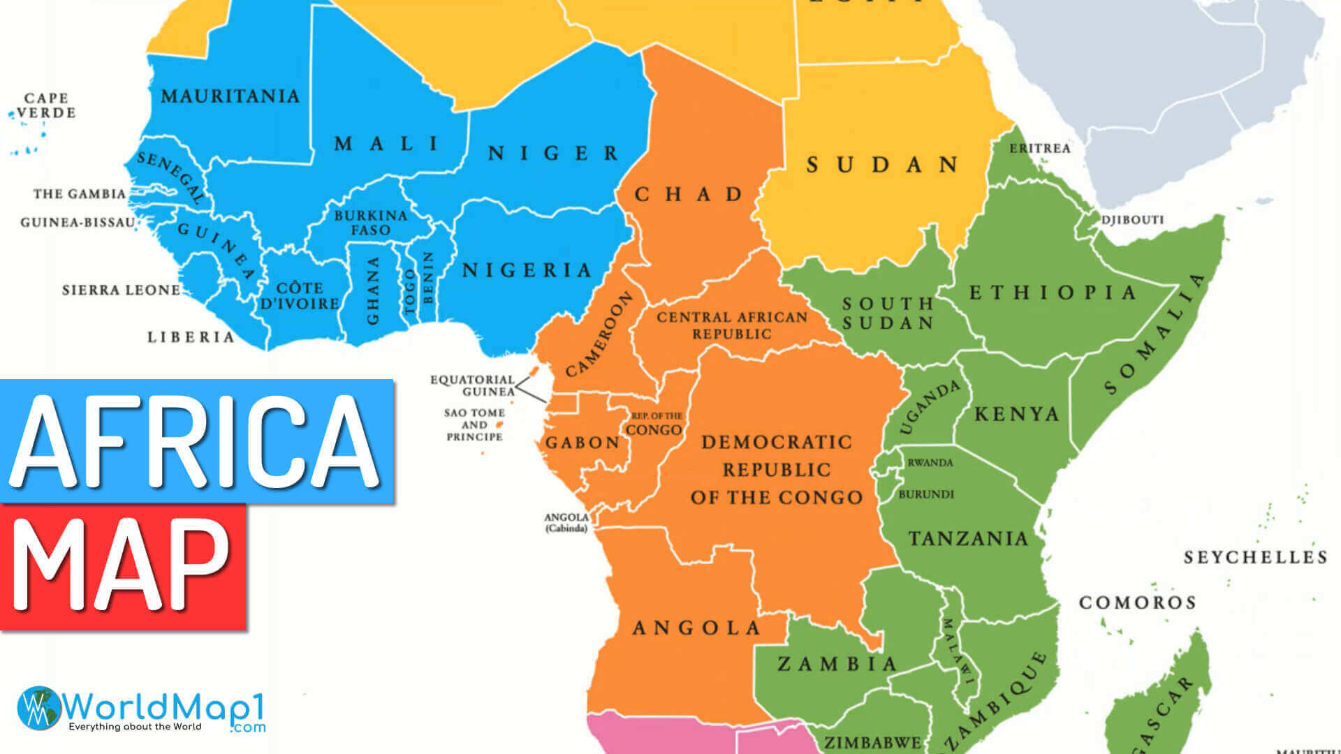
This detailed map of African countries offers a clear view of the continent’s 54 recognized nations, their borders, and capital cities. From the deserts of Algeria to the lush valleys of Uganda and the coastal beauty of South Africa, each country tells its own story. Whether you’re planning a trip, studying geography, or just curious about Africa’s political landscape, this map is a great place to start your journey across one of the world’s most diverse continents.
Africa maps
Africa physical map countries
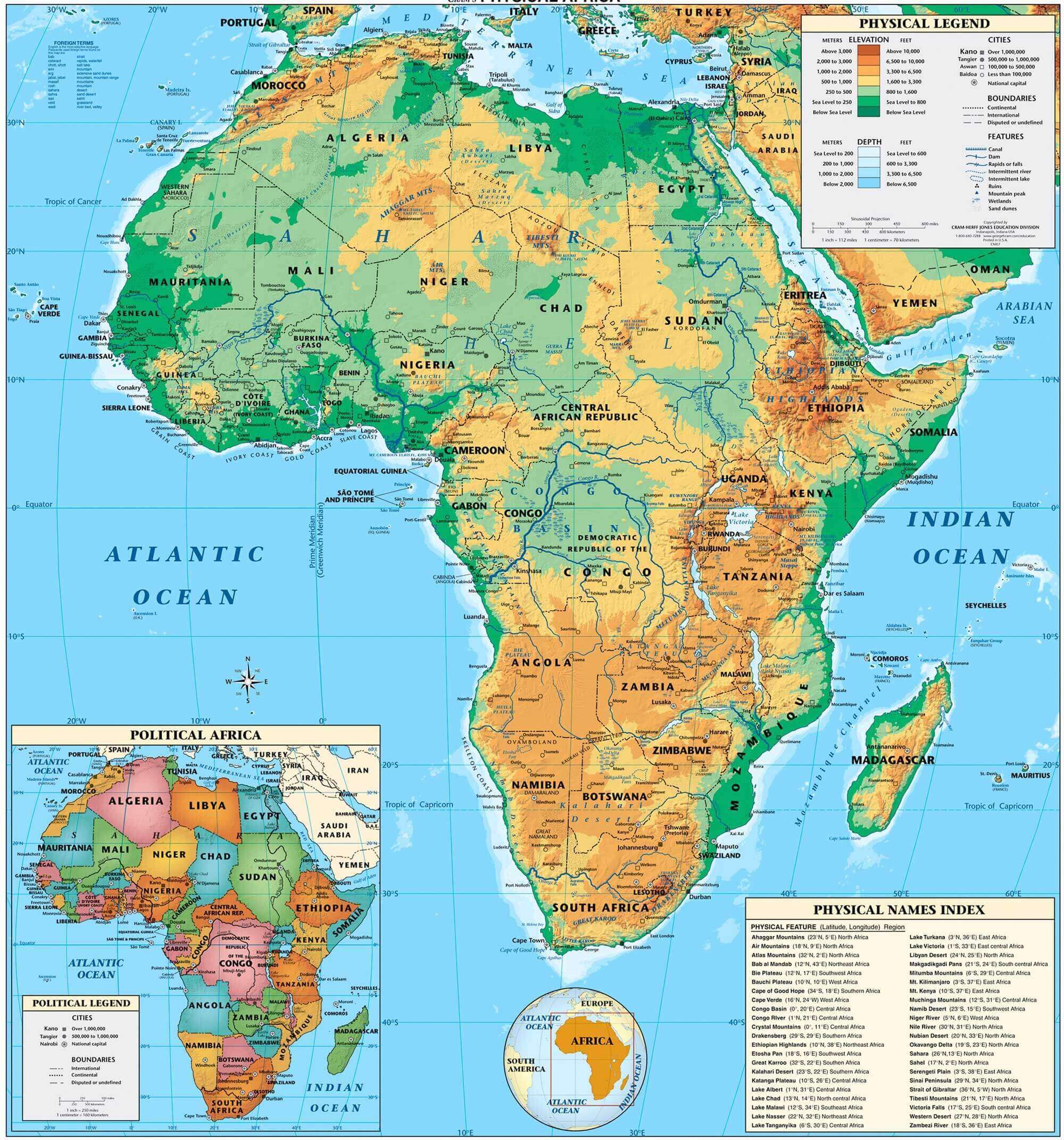
Physical map of Africa with countries
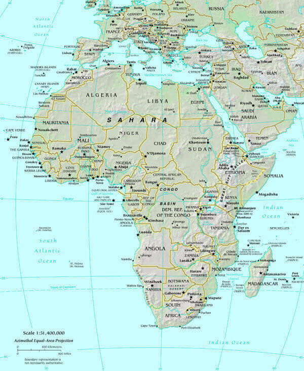
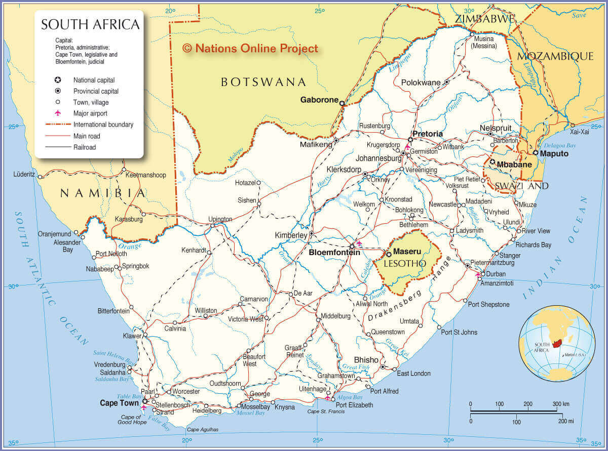
Africa and South Africa map
Africa countries blank map
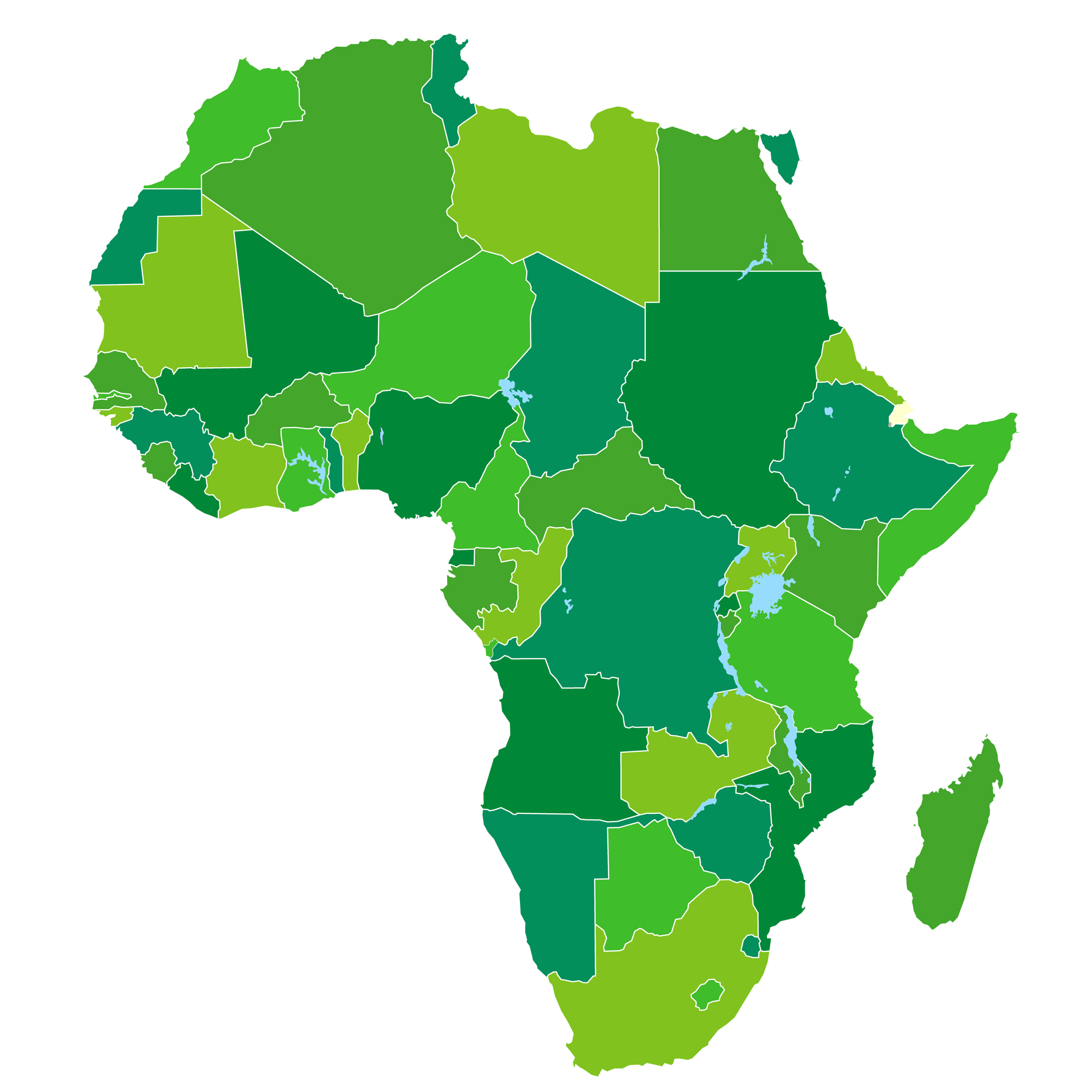
Africa countries blank outlined map
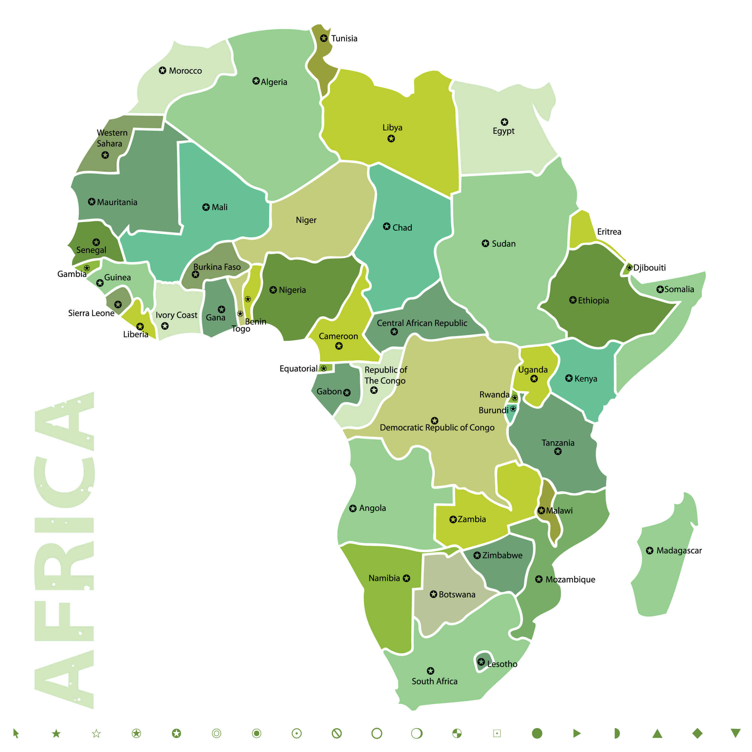
Africa countries map
Africa countries outline map
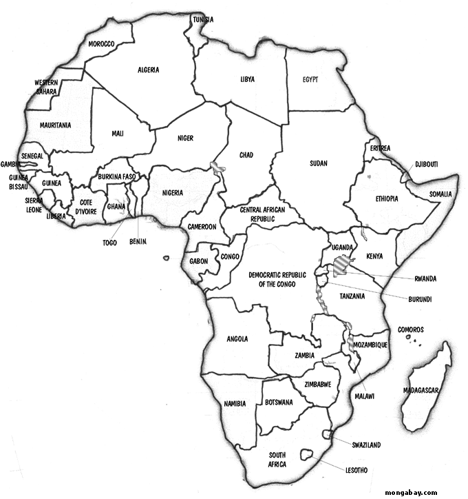
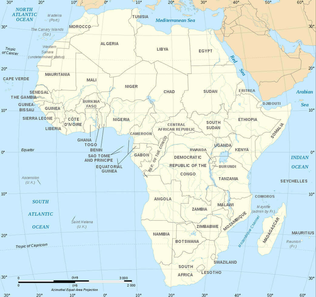
Africa map with countries borders
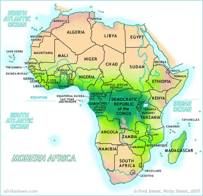
Africa outline map
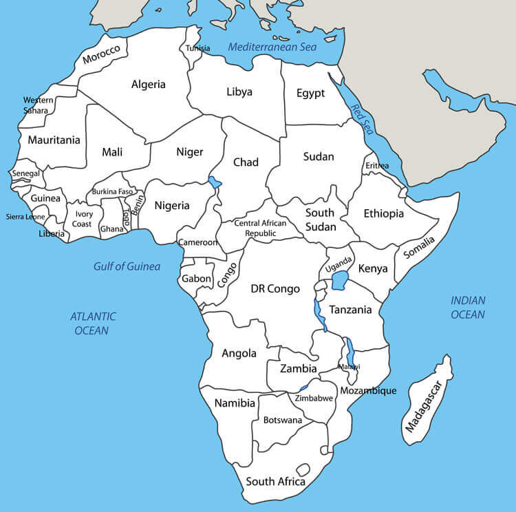
African continent countries political map
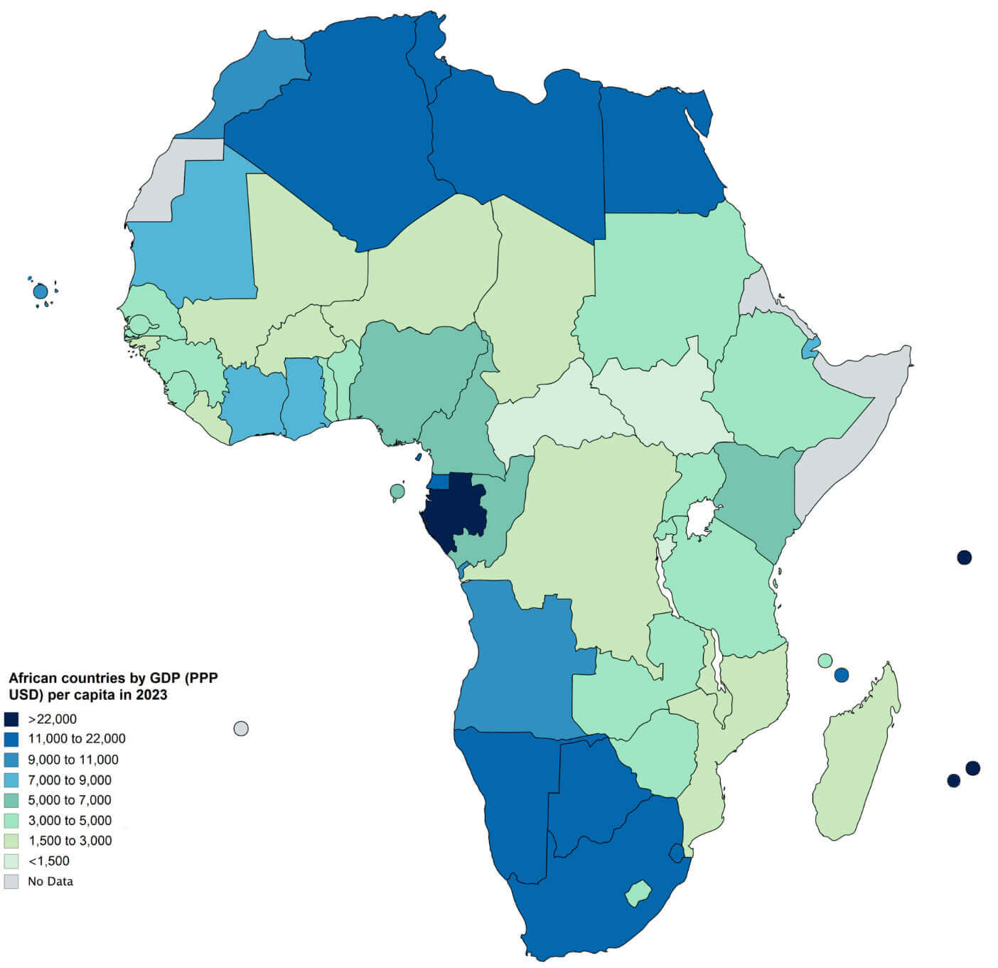
African countries map by GDP
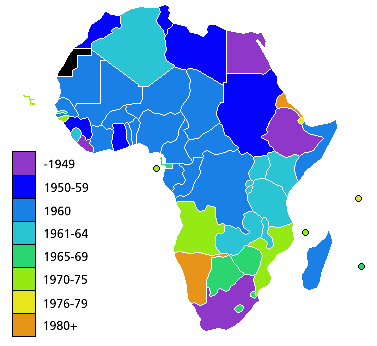
Independence map of African countries
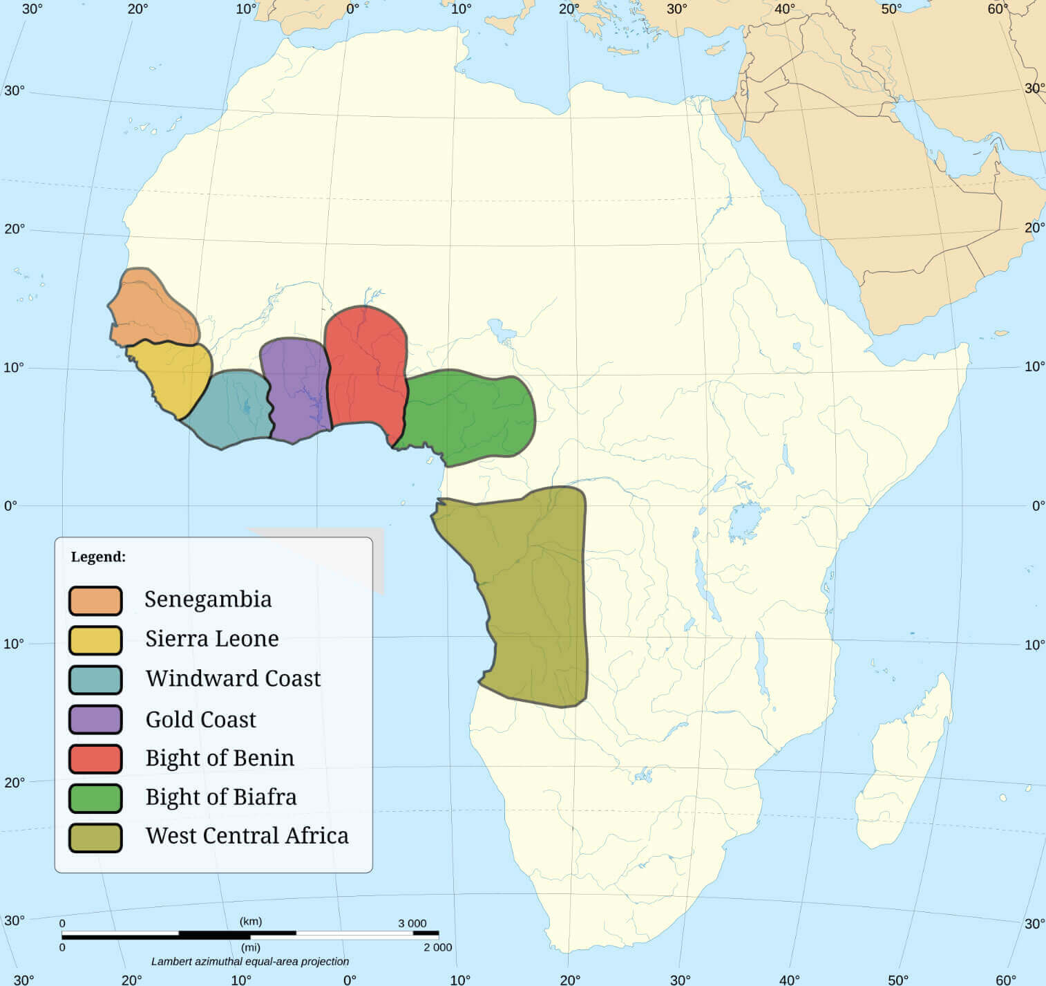
Major slave trading regions of Africa
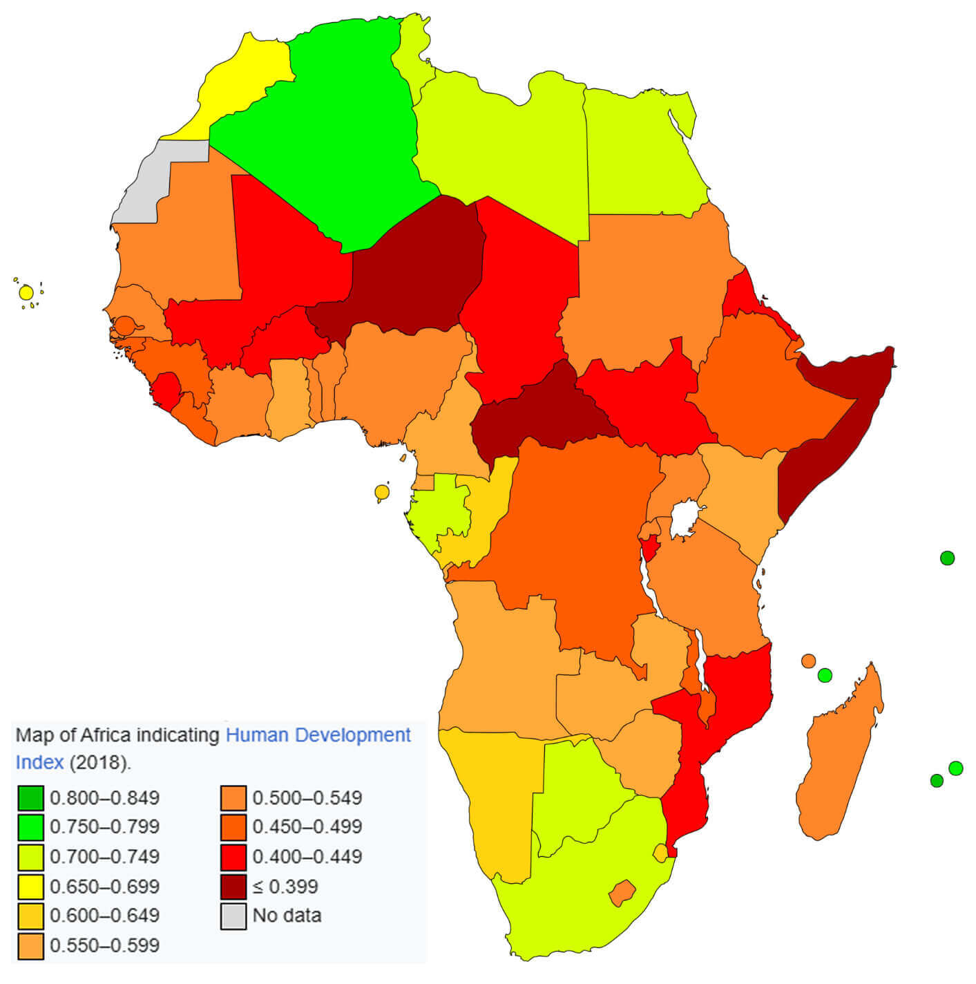
Map of Africa indicating human development index
Map of Africa with countries
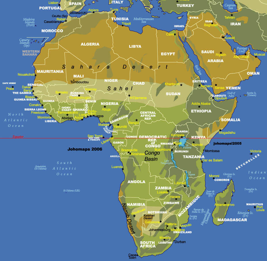
Map of Africa with regional countries
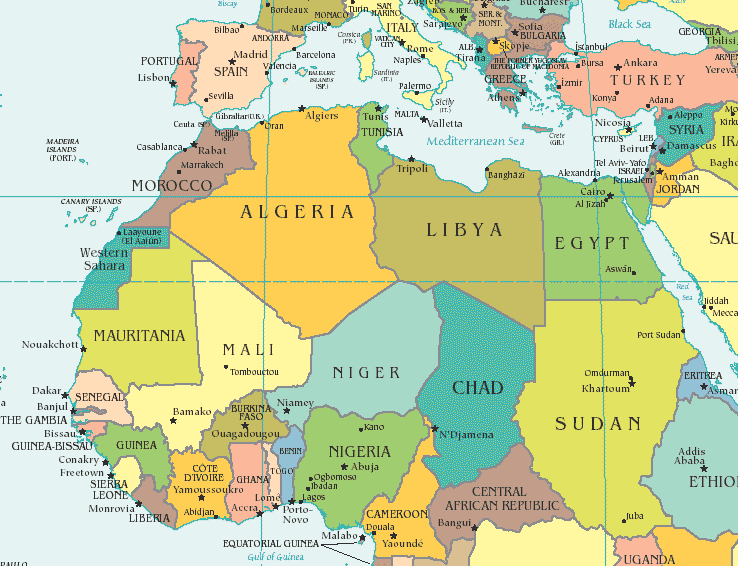
North African countries map
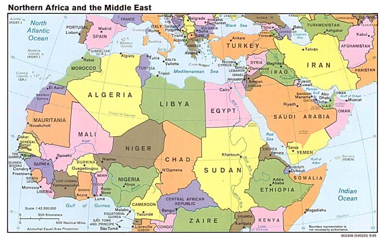
Northern Africa middle east map 1995
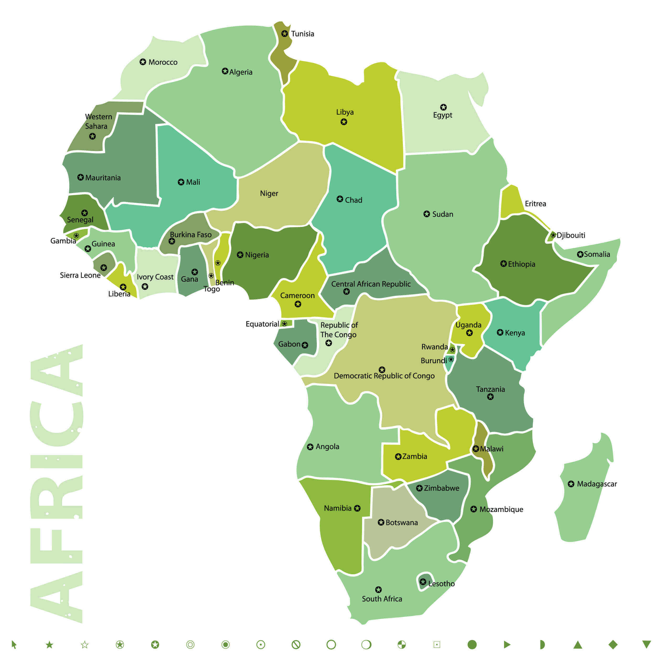
Vector map of Africa
World and countries major cities map
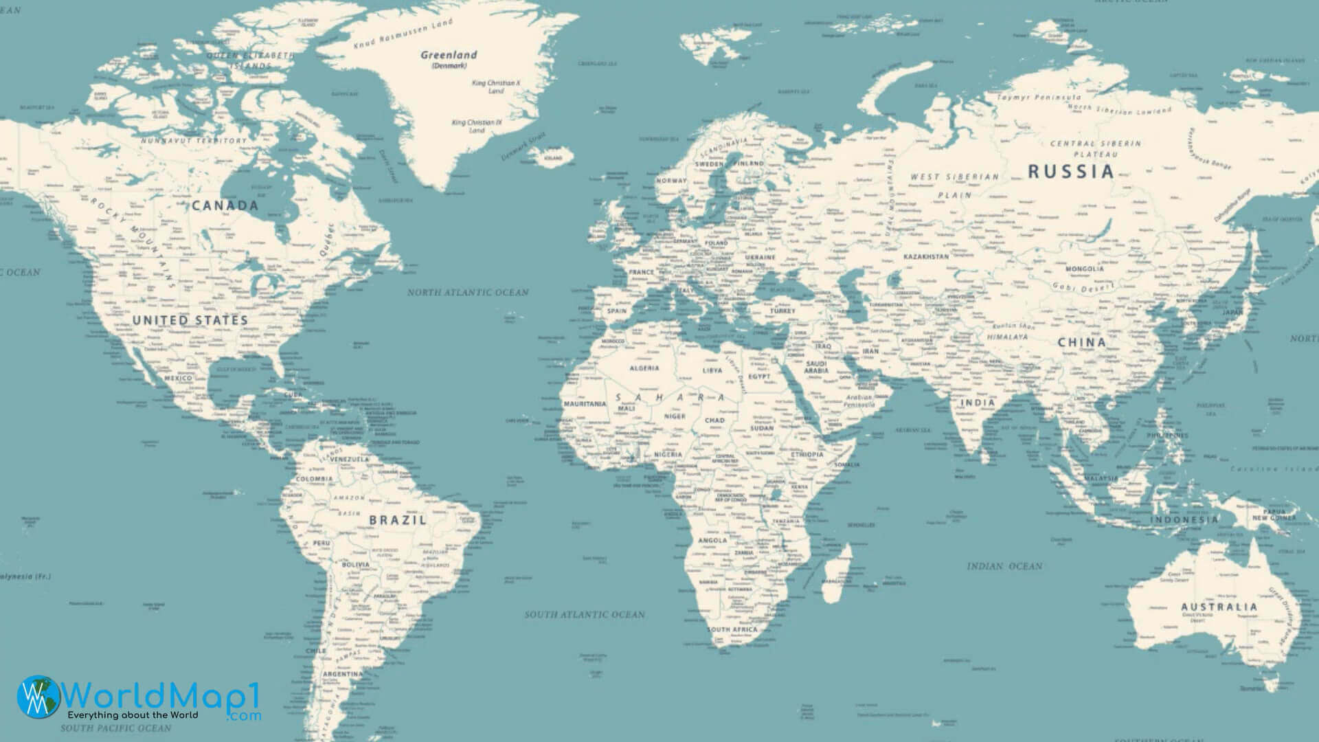
World continents and Africa map

World countries and regions map
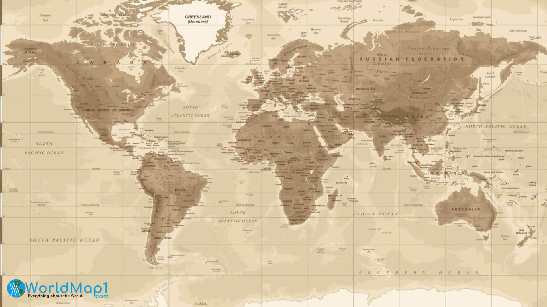
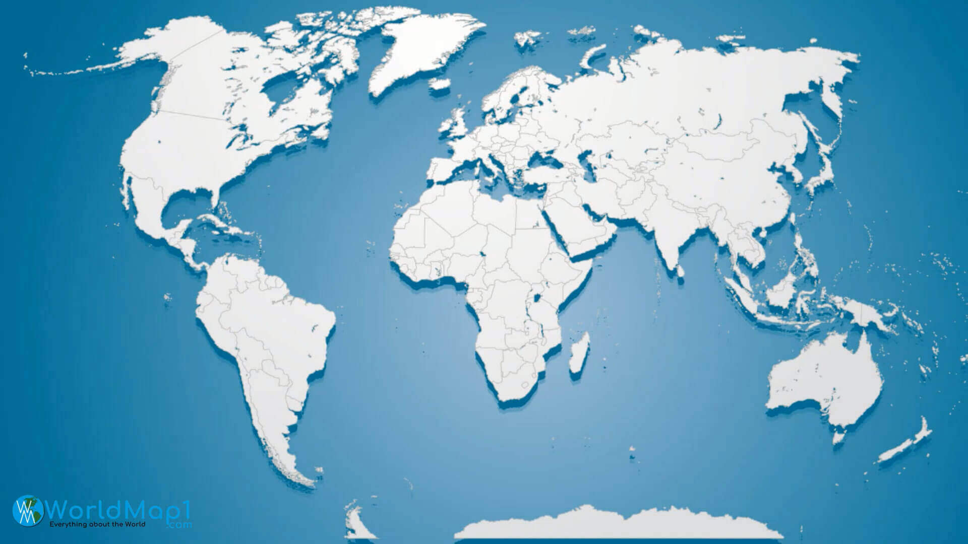
World map with Africa countries
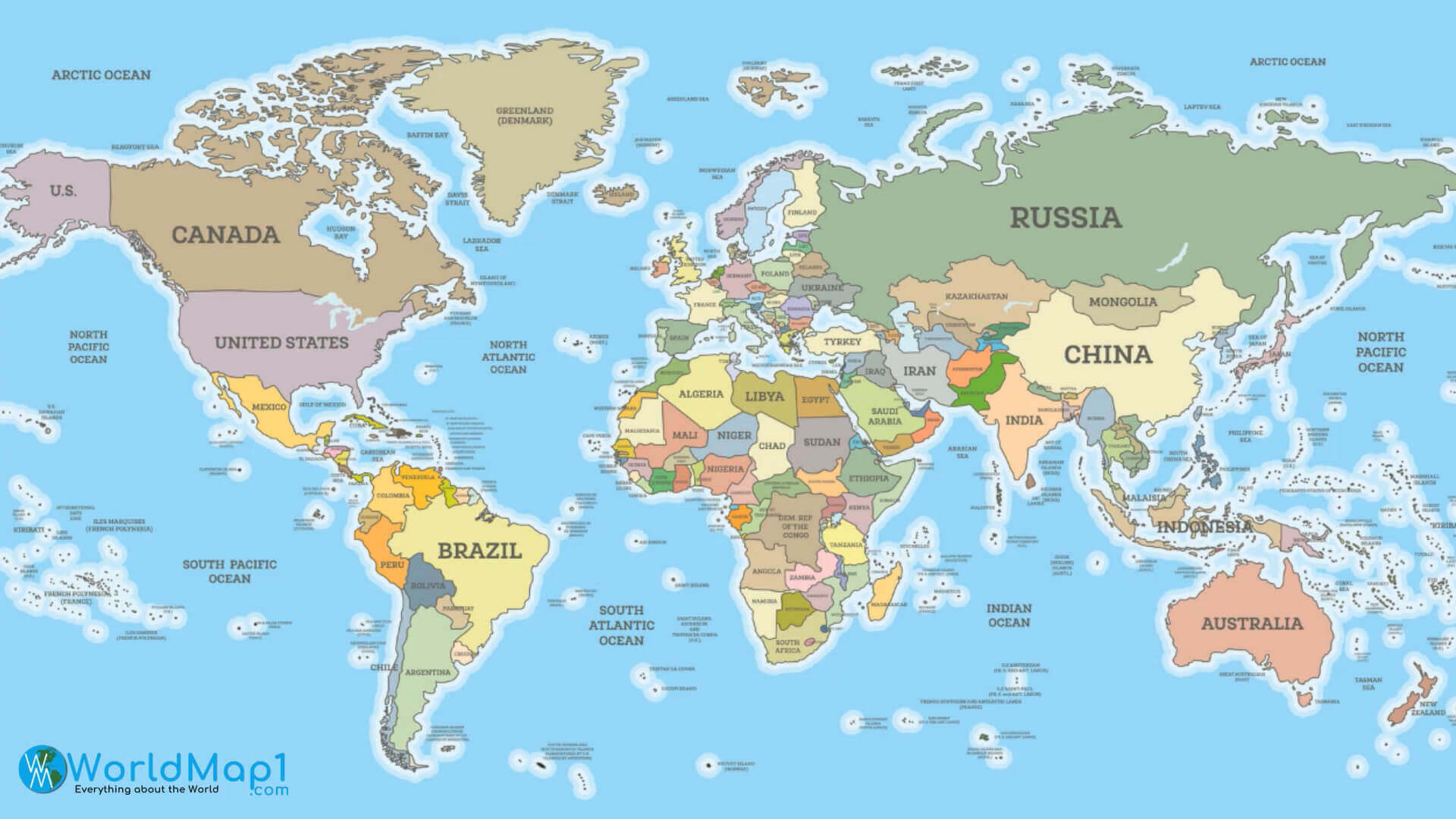
World map with countries border
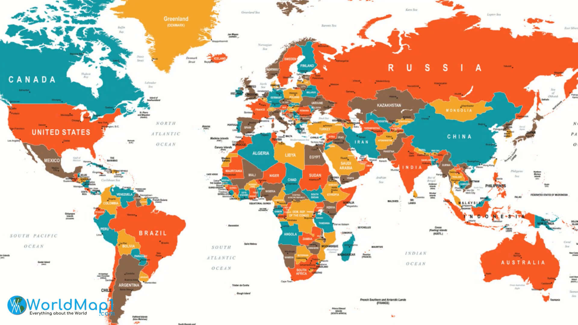
Where is Africa on the World Map?
Show Google Interactive Maps and satellite maps of where the country is located.
Get directions by driving, walking, bicycling, public transportation and travel with street view.
Feel free to explore these pages as well:
- Africa Map IV ↗️
- Africa Map ↗️
- Africa High-resolution Map ↗️
- Map of Africa ↗️
- Africa Physical Map ↗️
- Africa Political Map ↗️
- Africa Countries Map ↗️
- Africa Population Map ↗️
- Africa Road Map ↗️
- Africa Topographic Map ↗️
- Africa Religion Map ↗️
- Africa Cities Map ↗️
- Africa Time Zone Map ↗️
- Muslim Population Map in Africa by Country ↗️
- A Collection of Algeria Maps: Exploring a North African Gem via Maps ↗️
- Visit Africa ↗️
- Africa Map I ↗️
- Africa Map II ↗️
- Africa Map III ↗️
- Africa Map V ↗️
- Advertisement -
