South Carolina Photos

HomePhotoSouth Carolina Photos
- Advertisement -

A Collection of South Carolina Photos

Charleston, South Carolina, USA
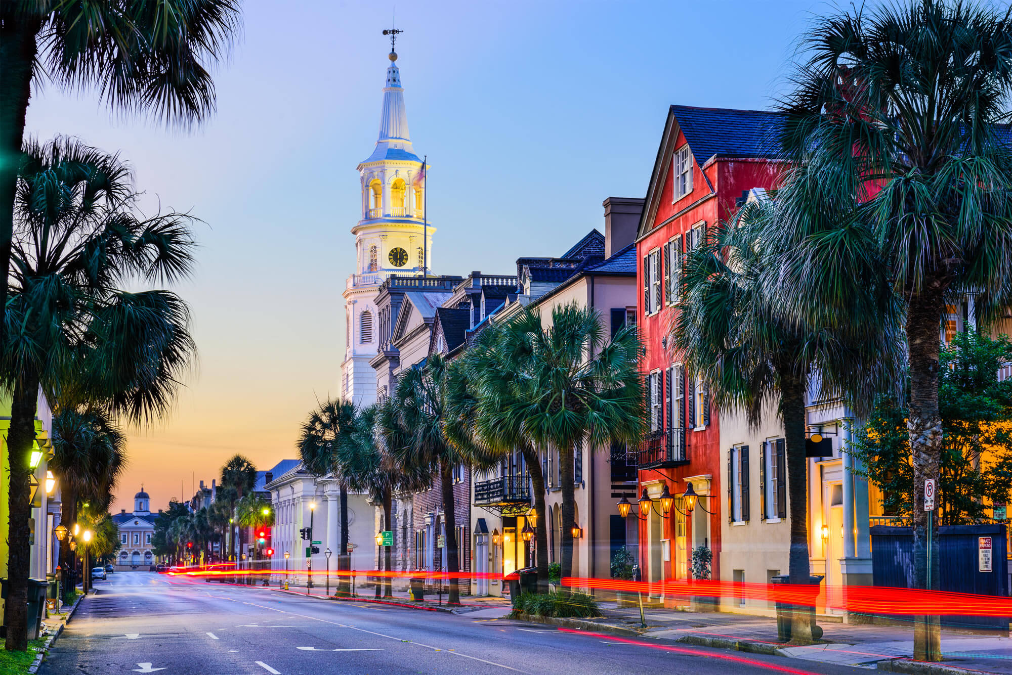
Charleston, South Carolina, USA
Charleston, South Carolina, USA cityscape in the historic French Quarter at twilight.

South Carolina State House in Columbia
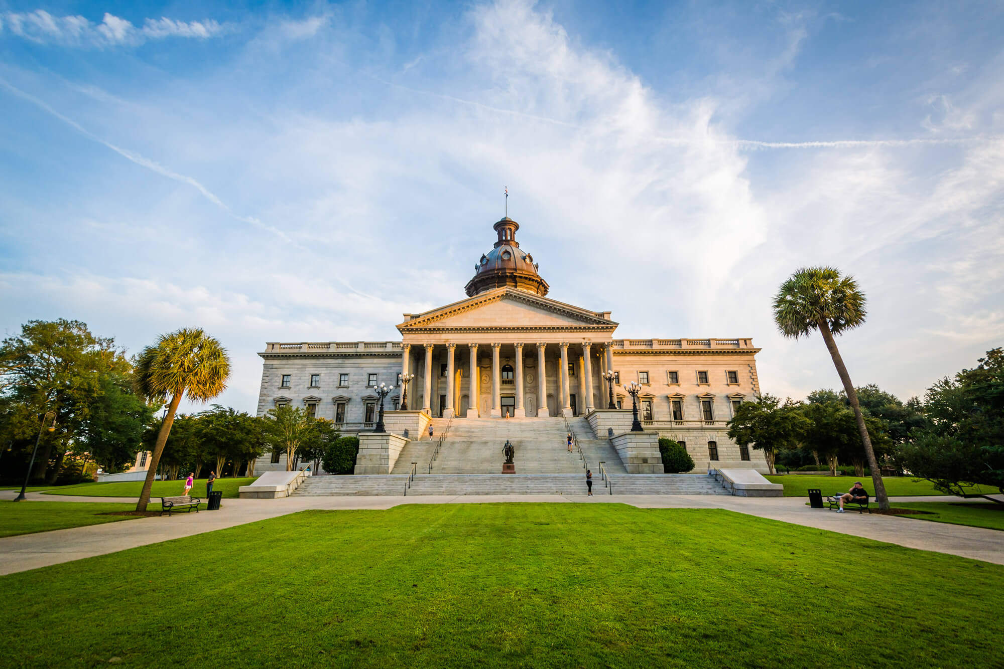
South Carolina State House in Columbia
The exterior of the South Carolina State House in Columbia, South Carolina – USA.

Historical downtown area of Charleston

Historical downtown area of Charleston


Historical downtown area of Charleston, South Carolina, USA at twilight.

Myrtle Beach, South Carolina
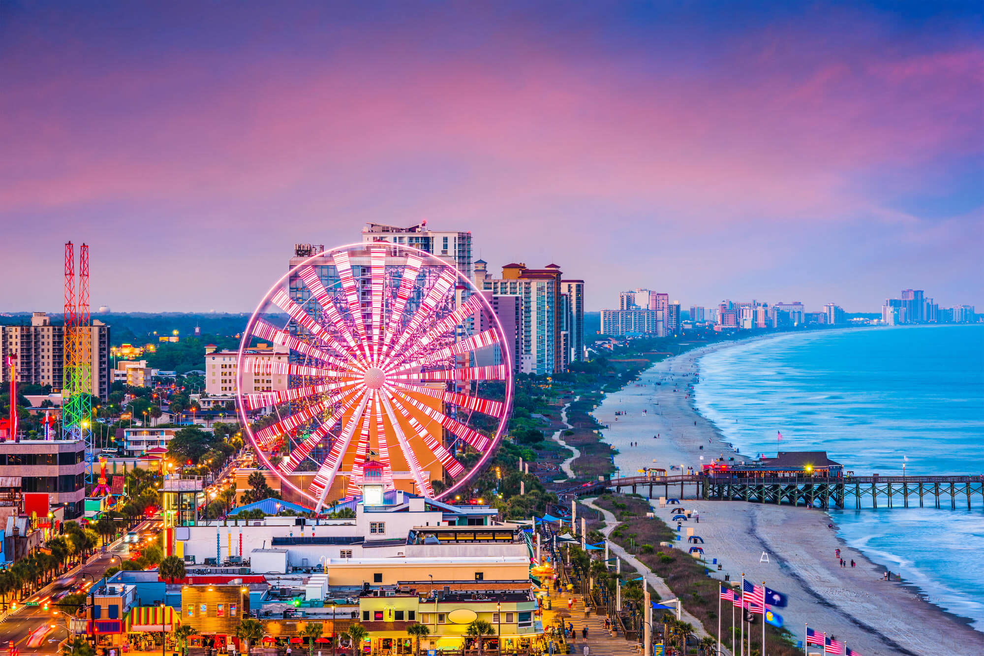
Myrtle Beach, South Carolina
Myrtle Beach, South Carolina, USA city skylines.

Where is South Carolina on the US?

Show Google map, satellite map, where is the country located.

Get directions by driving, walking, bicycling, public transportation and travel with street view.

Feel free to explore these pages as well:

- Advertisement -
Previous article
Next article

Discover

Sponsor

Latest Posts

A collection of World Maps

Detailed World Map, World Climate Map, Continents Map of the World, World Countries Inflation Rates Map, World Countries Blank Map, World Domain Extensions Map,...

Philippines Map

Explore the Philippines through detailed political, physical, and satellite maps. Discover its cities, rivers, topography, and diverse terrain across over 7,000 islands. Learn about...

About Pennsylvania

About Pennsylvania, Cities and Photos Pittsburgh Skylines, Pennsylvania Pittsburgh, Pennsylvania, USA downtown skyline and incline. Downtown Skyline of Philadelphia Downtown Skyline of Philadelphia, Pennsylvania at twilight. Pittsburgh, Pennsylvania, USA Pittsburgh,...

Bonn: A Blend of History and Modernity Along the Rhine

Nestled along the banks of the Rhine River, Bonn stands as a beacon of history entwined with modern sophistication. This quaint city, once the...

Minnesota Map

A collection of Minnesota Maps; View a variety of Minnesota physical, united states political map, administrative, relief map, Minnesota satellite image, higly detalied maps,...