- Advertisement -
Find North America Images and Maps; Map of North America, Chicago North America, New York, Los Angelos, Mexico City, Toronto, North America Satellite Image North America Political Map and more maps…
A collection of North America Images and Maps
Map of North America
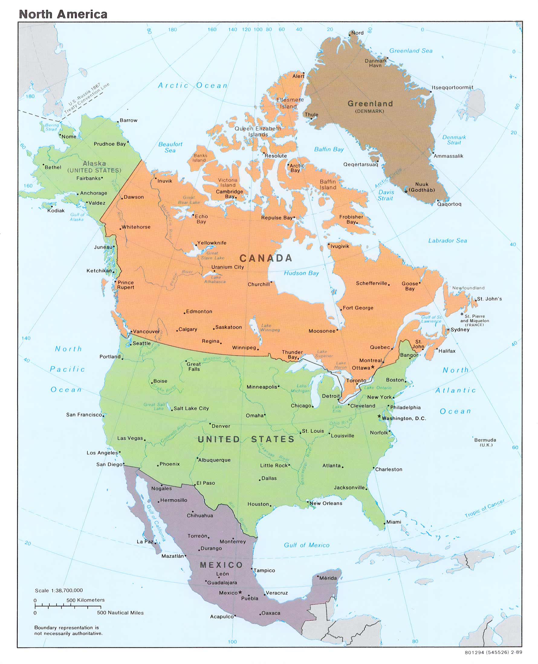
North America Countries Map
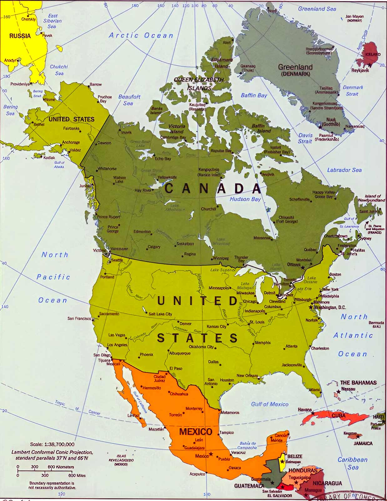
North America Flag Map
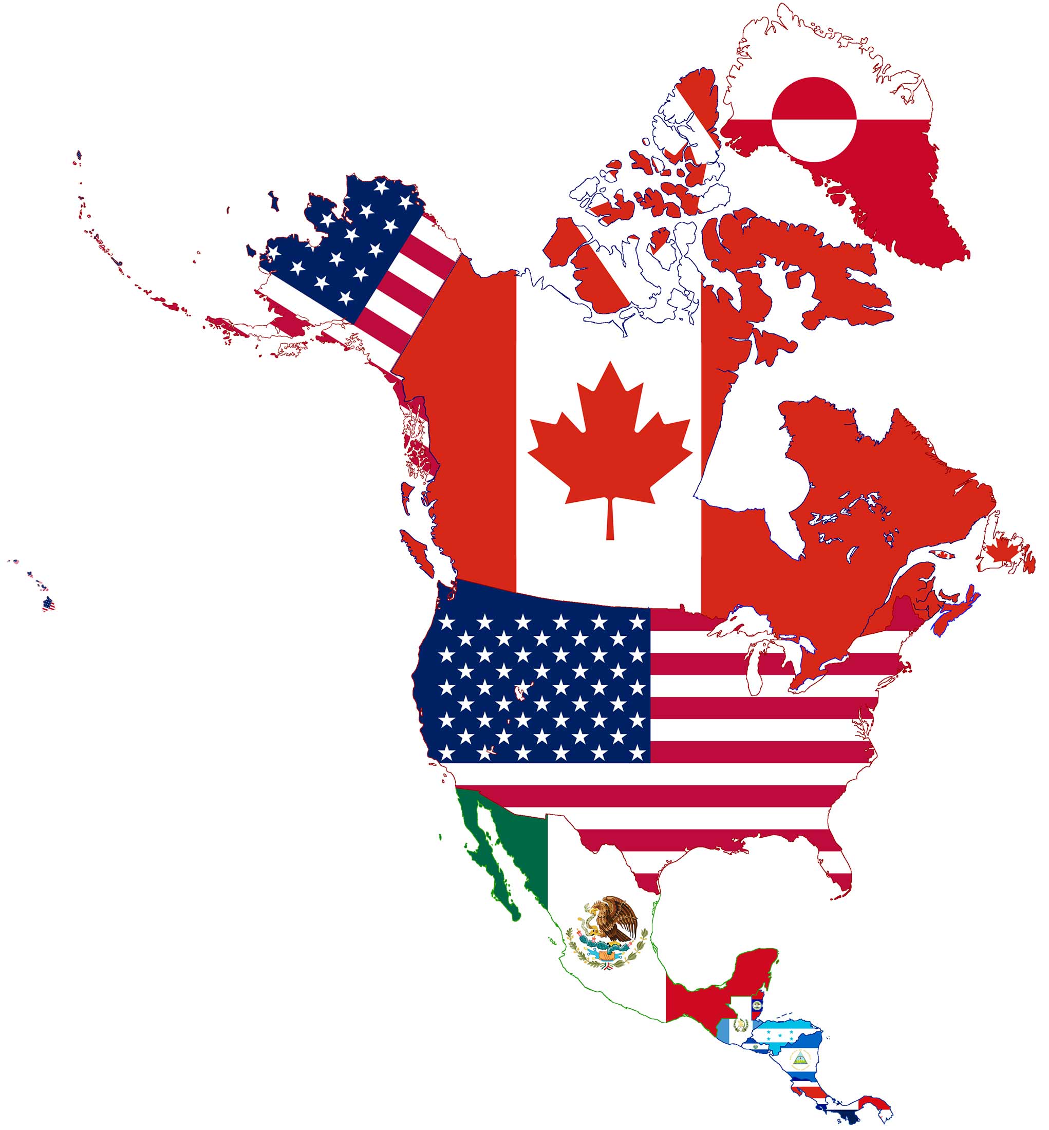
North America Countries, Cities and States Map
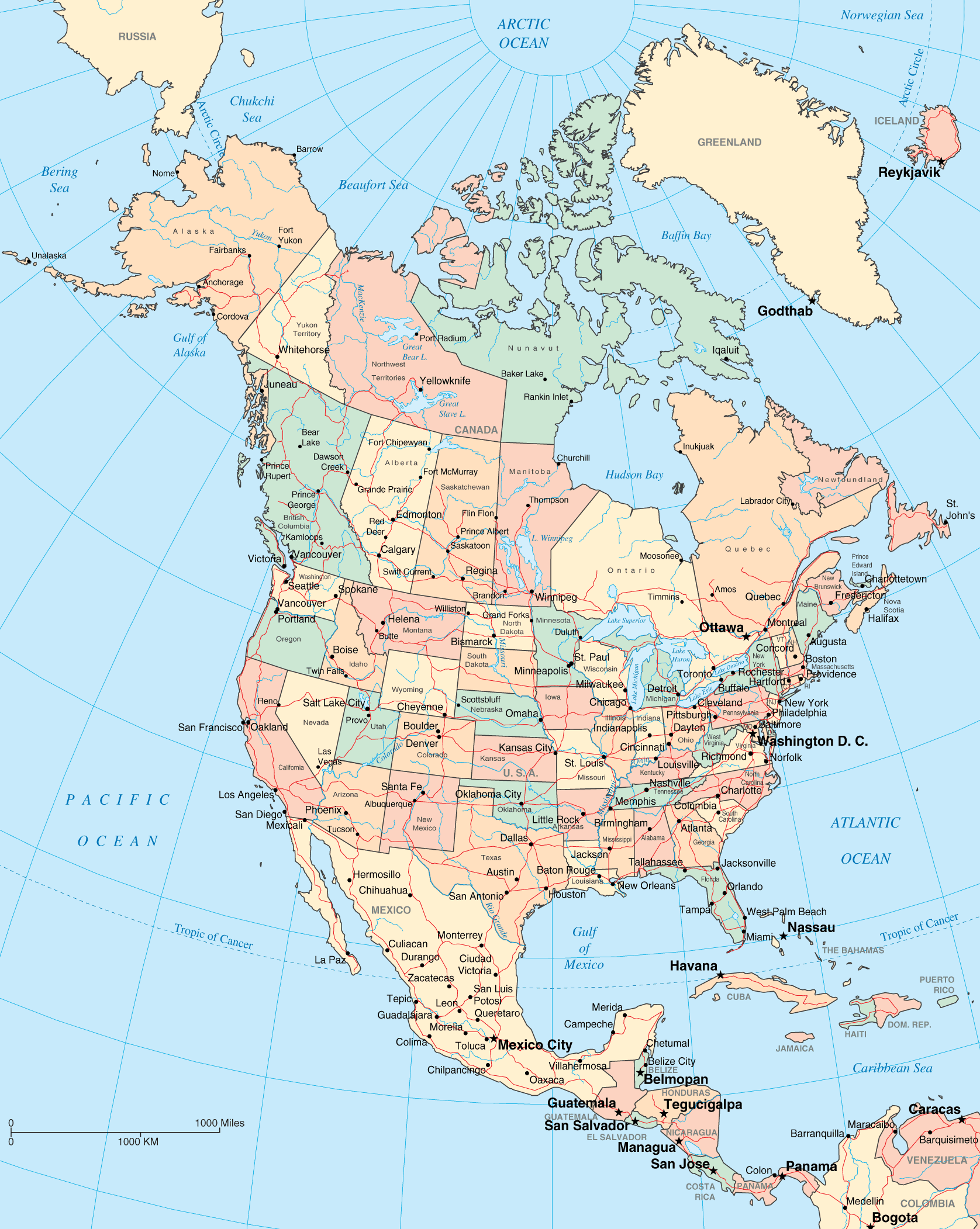
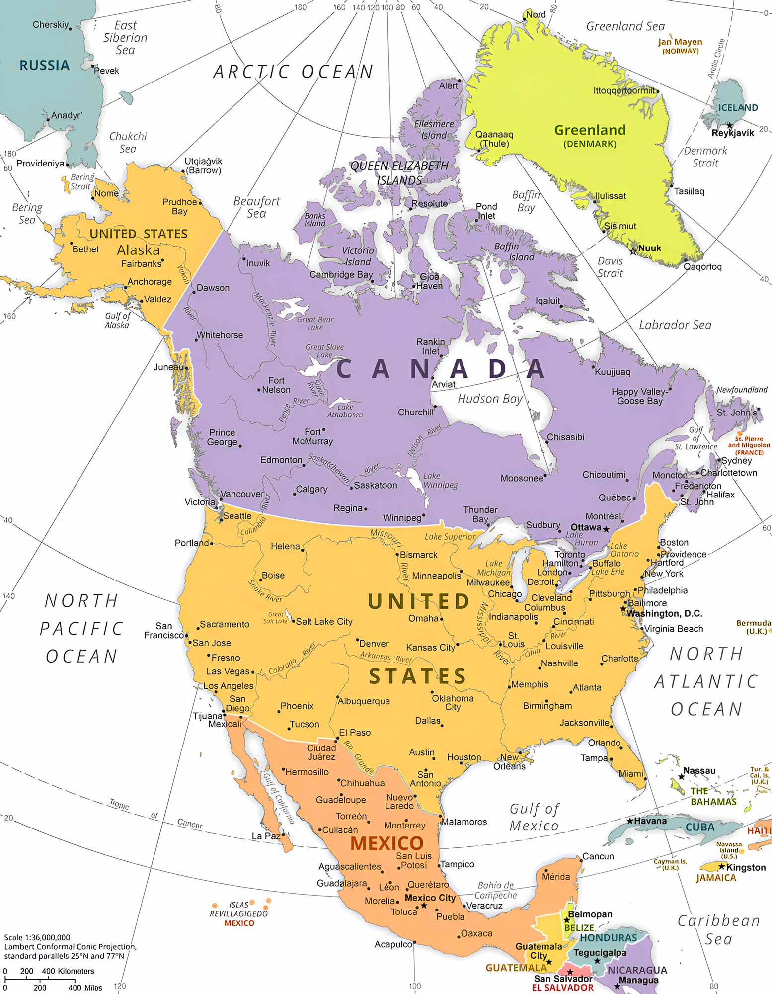
North America Political Map
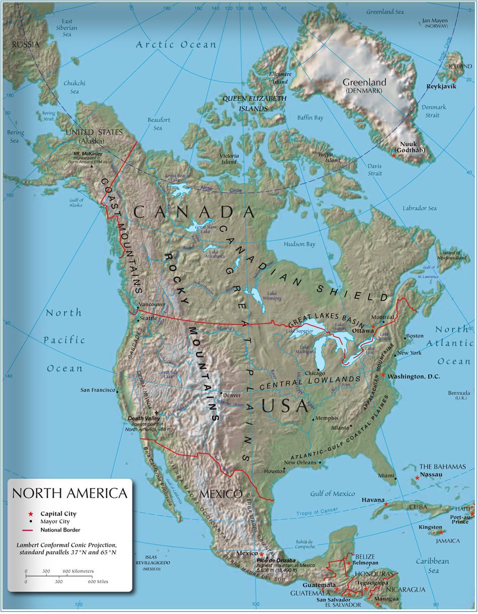
North America Relief Map
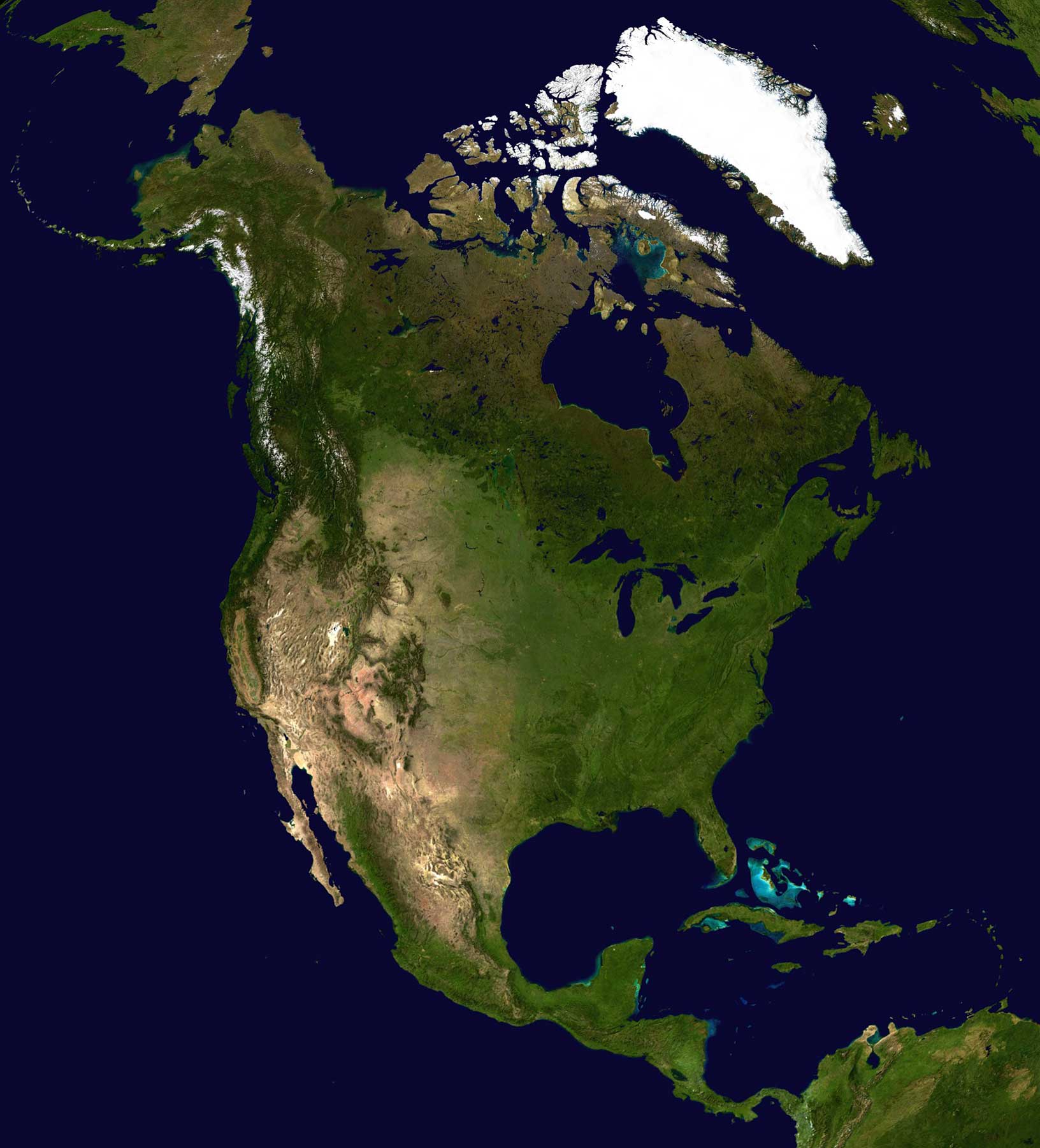
North America Satellite Image
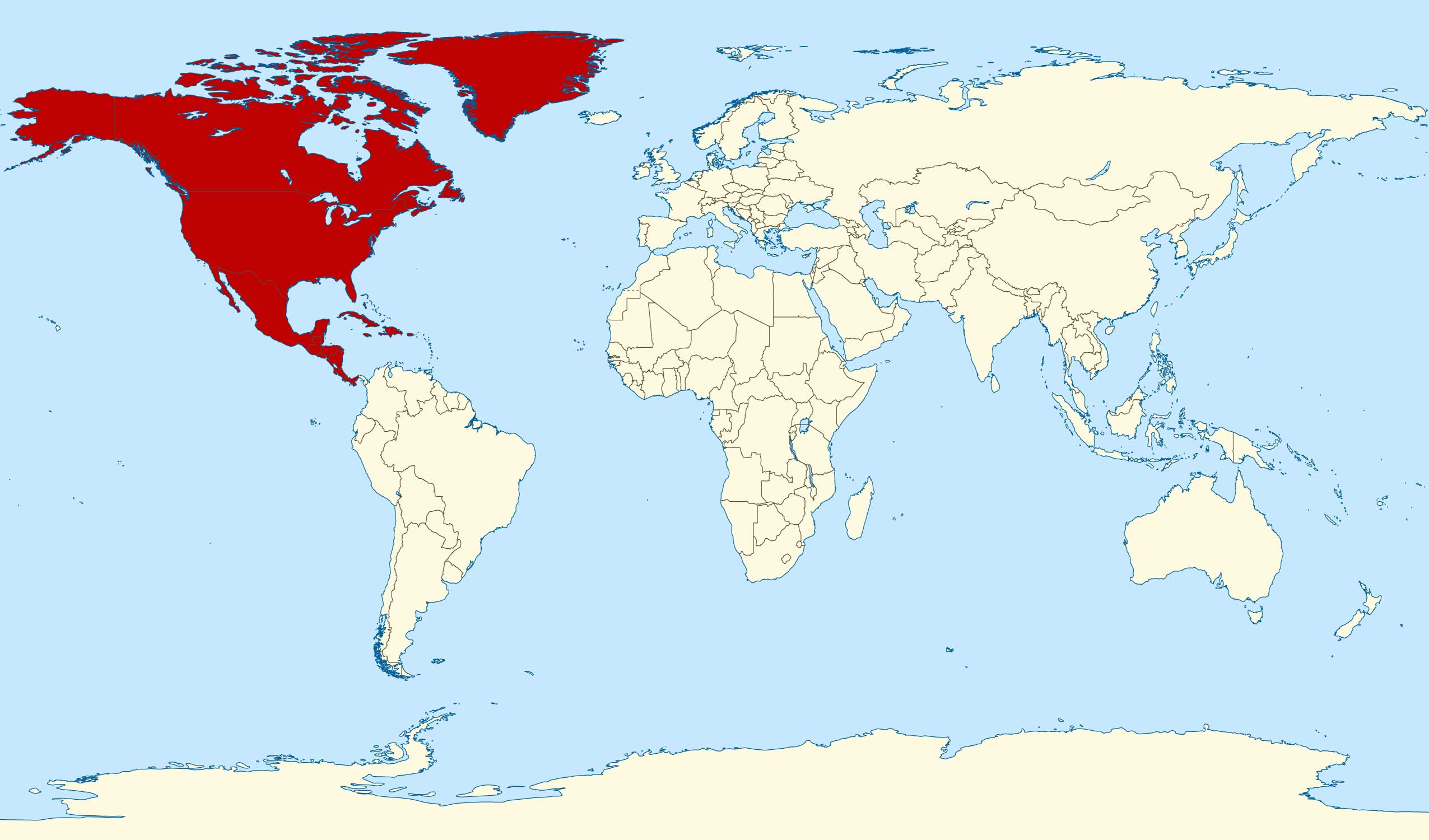
Where is North America
Where is North America in the World?
Show Google map, satellite map, where is the country located.
Get direction by driving, walking, bicycling, public transportaion and travel with street view.
Feel free to explore US states maps:
- North America Map ↗️
- Map of North America ↗️
- North America Maps ↗️
- North America Cities Map ↗️
- North America High-resolution Map ↗️
- North America ↗️
- North America Time Zones with Cities & States ↗️
- Map North America ↗️
- Political Map of North America ↗️
- Physical Map of North America ↗️
- North America Satellite Map ↗️
- North America Earth Map ↗️
- North America Historical Map ↗️
- Advertisement -
