Map of Connecticut

HomeMapsMap of Connecticut
- Advertisement -

A collection maps of Connecticut; View a variety maps of Connecticut physical, political, relief map. Satellite image of Connecticut, higly detalied maps, blank map of Connecticut, USA and Earth. And find more Connecticut’s country, regions, topography, cities, road, rivers, national, directions maps and atlas.

Connecticut Road Map
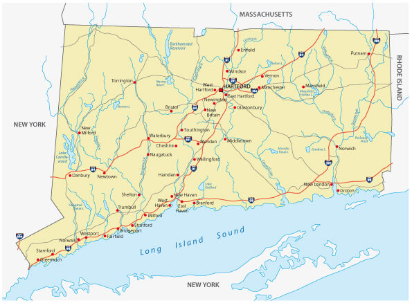
Connecticut Road Map

Connecticut road map with major intersates.

Connecticut Administrative Map
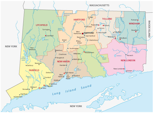
Connecticut Administrative Map
Connecticut administrative map with counties and main cities.

Connecticut Administrative Map with Flag
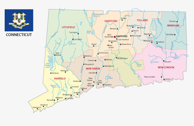
Connecticut Administrative Map with Flag


Connecticut administrative map with flag and counties, major cities.

Connecticut State Map
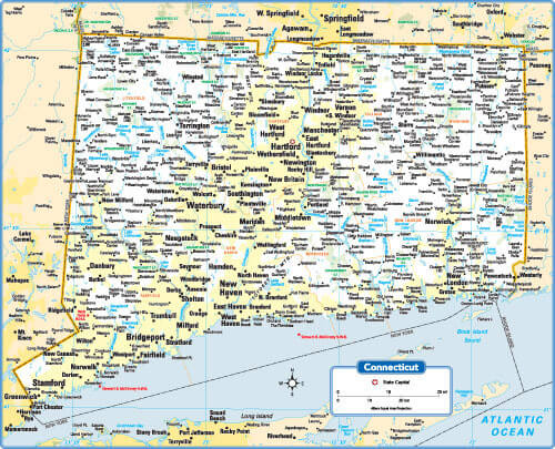
Connecticut State Map
Connecticut State map with major cities and towns.

Connecticut Maps and Photos

Where is Connecticut on the United States Map?

Show Google map, satellite map, where is the country located.

Get directions by driving, walking, bicycling, public transportation and travel with street view.

- Advertisement -
Previous article
Next article

Discover

Sponsor

Latest Posts

The Valley Map

Where is The Valley, geography of The Valley, enlargeable topographic map of The Valley, including political maps, physical map, cities map, satellite images of...

Akrotiri Map

Where is Akrotiri, Akrotiri Map, city map of Akrotiri, Akrotiri map of Akrotiri and Dhekelia, Akrotiri satellite map, location, itinerary, atlas, geographic, city of...

Delhi’s Top 10 Must-Visit Attractions for Every Traveler

A Traveler's Diary: Navigating the Best of Delhi in 10 Stops Delhi, a city where ancient history and contemporary culture coalesce, offers an intoxicating blend...

Tennessee Photos

A Collection of Tennessee Photos Nashville Tennessee Skylines Nashville Tennessee skyline with drone, United States of America. Campus of Vanderbilt Unversity Campus of Vanderbilt Unversity in Nashville, Tennessee,...

Israel Map

Explore a collection of Israel maps, including a wide variety of physical, political, administrative, and relief maps, detailed satellite images, blank maps, and maps...