Alabama Map

HomeMapsAlabama Map
- Advertisement -

A collection of Alabama Maps; View a variety of Alabama physical, political, administrative, relief map, Alabama satellite image, higly detalied maps, blank map, Alabama USA and earth map, Alabama’s regions, topography, cities, road, direction maps and atlas.

A Collection of Alabama Maps

Color Map of Alabama
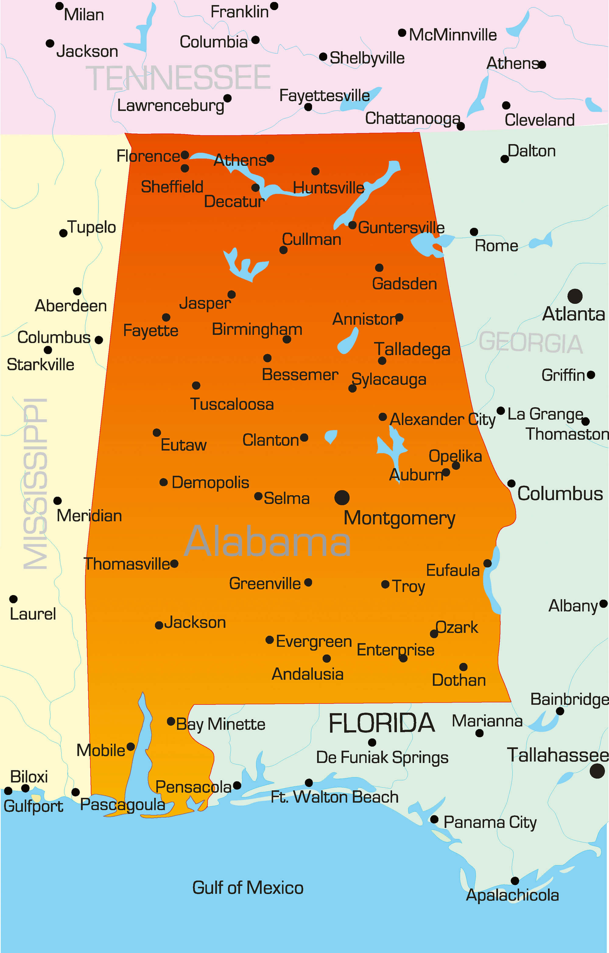
Color Map of AlabamaVector color map of Alabama state, USA.

Alabama Transportation Map

Alabama Transportation Map
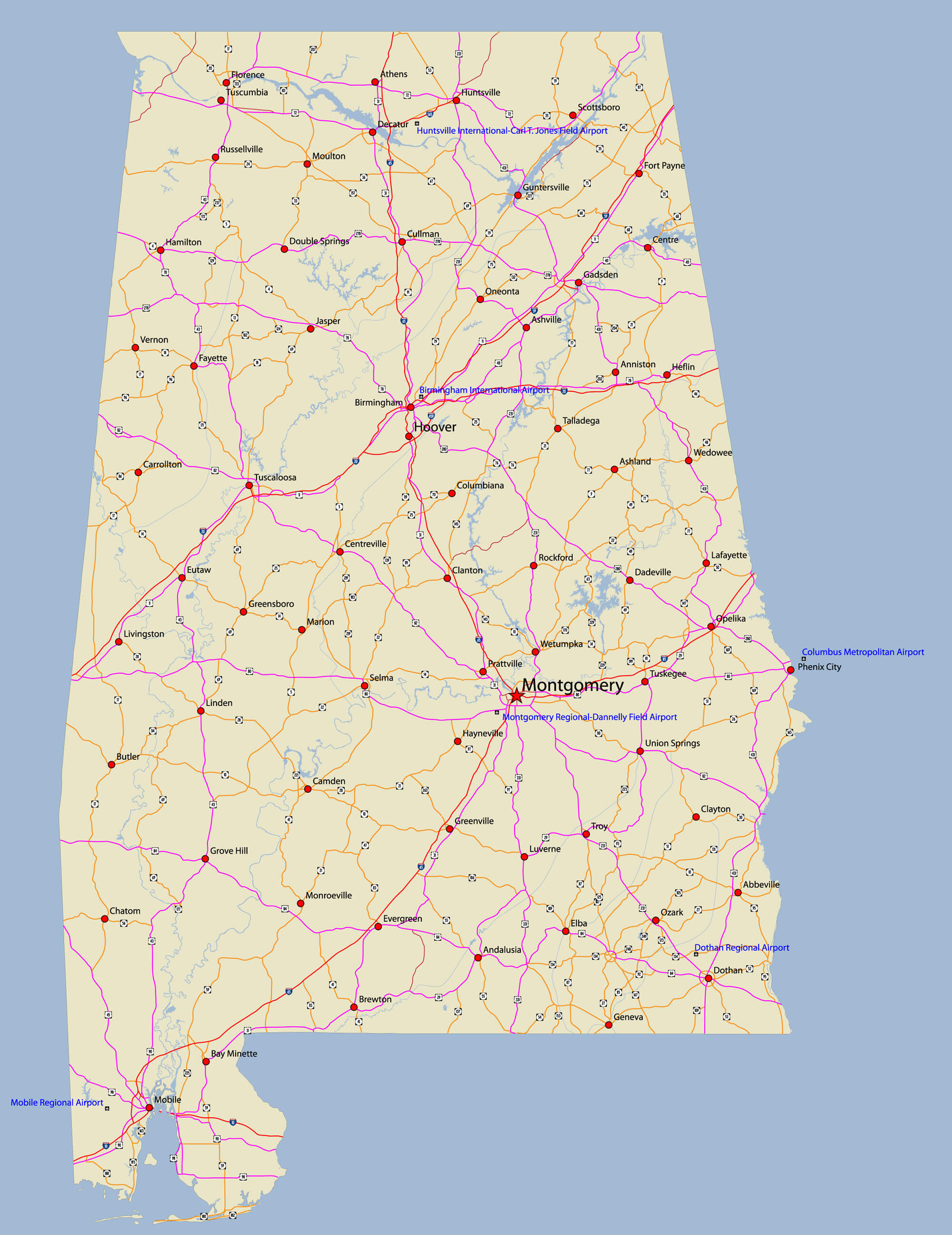
Alabama transportation vector map. With Rivers, selected cities, Interstates, US highways, state highways, airports, road signs.

Alabama State Map
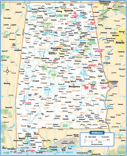
Alabama State Map


Alabama State Map with cities, counties and towns interstates, highways and state roads.

Birmingham, Alabama Area Map
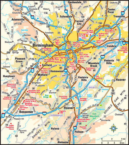
Birmingham, Alabama Area Map
Birmingham, Alabama area map with city districts.

Mobile, Alabama Area Map
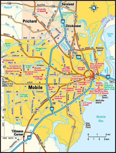
Mobile, Alabama Area Map
Mobile, Alabama area map with city districts.

Alabama Maps and Photos

Where is Alabama on the United States Map?

Show Google map, satellite map, where is the country located.

Get directions by driving, walking, bicycling, public transportation and travel with street view.

- Advertisement -
Previous article
Next article

Discover

Sponsor

Latest Posts

Discover Bochum: A Hidden Gem in Germany’s Ruhr Valley

Welcome to the enchanting city of Bochum, nestled in the heart of Germany’s Ruhr Valley. As a vibrant cultural hub with a rich tapestry...

Belgium’s Largest and Top 10 Must-Visit Cities

Belgium, nestled comfortably between France, Germany, the Netherlands, and Luxembourg, is a country rich in history, brimming with a tapestry of cultures, and vibrant...

Africa Satellite Map

Discover Africa's satellite views, topographic reliefs, and Earth maps featuring Europe, Asia, and the Middle East. Explore night views, air routes, and Sahara Desert...

Physical Map of the World

A collection of World Physical Map, Blank Physical World Map, Religions Map of The World, Moon from The World, Political World Map in English,...

Mongolia Map

Explore a variety of maps of Mongolia, including political, physical, satellite and relief maps. Explore major cities, rivers, elevation, terrain and administrative divisions. Learn...