- Advertisement -
A collection maps of North America; View a variety maps of North America physical, political, relief map. Satellite image of North America, higly detalied maps, blank map of North America, World and Earth. And find more North America’s country, regions, topography, cities, road, rivers, national, directions maps and atlas.
North and South America Map
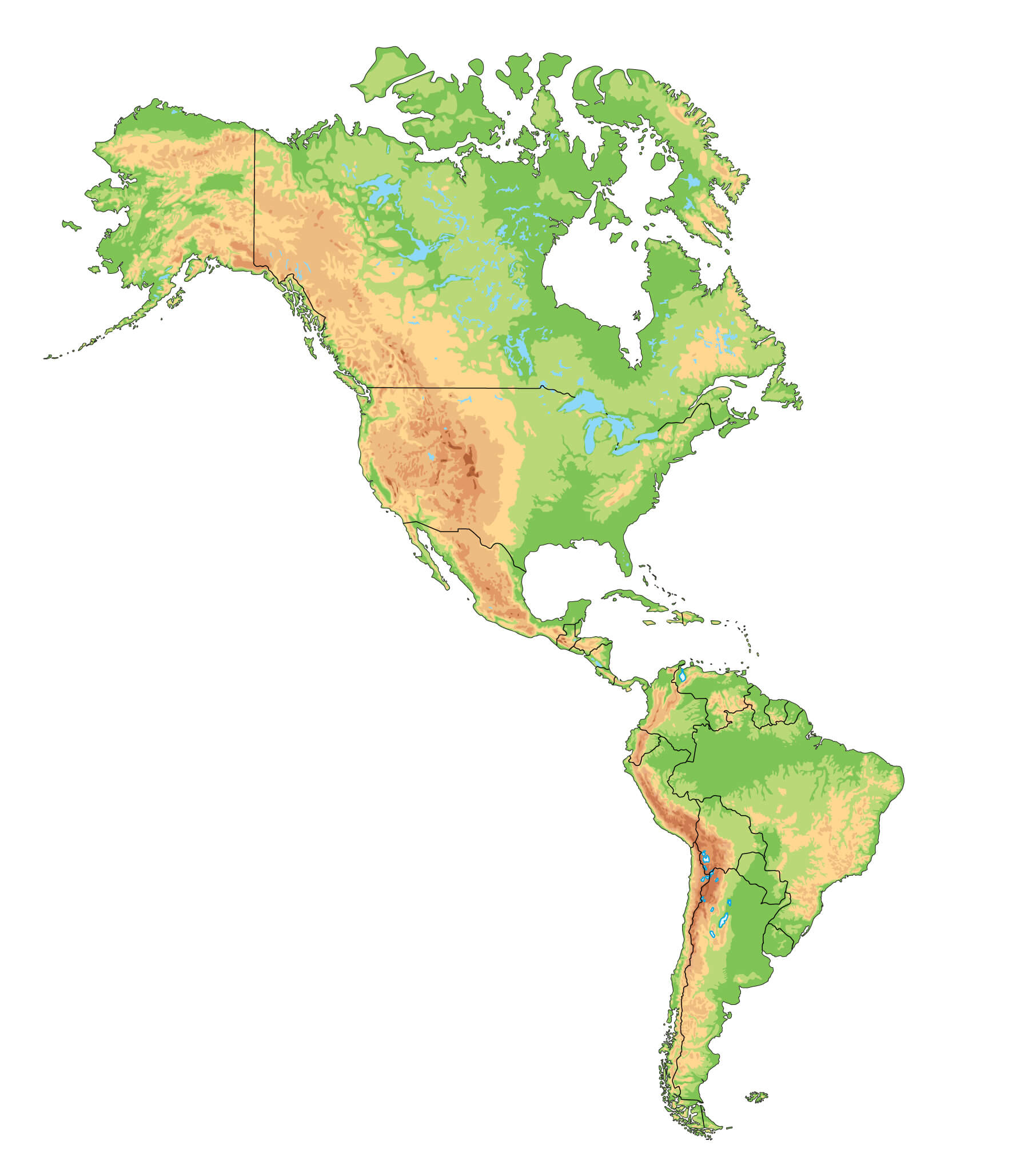
North America Continent Map
North America Blank Map

North America Physical Map
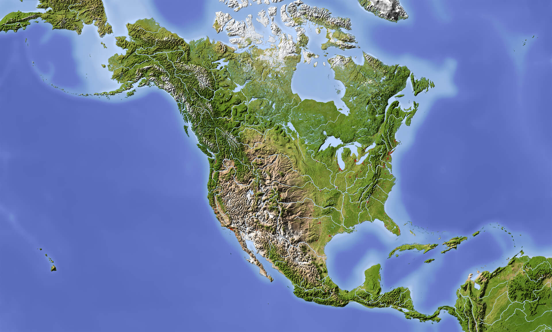
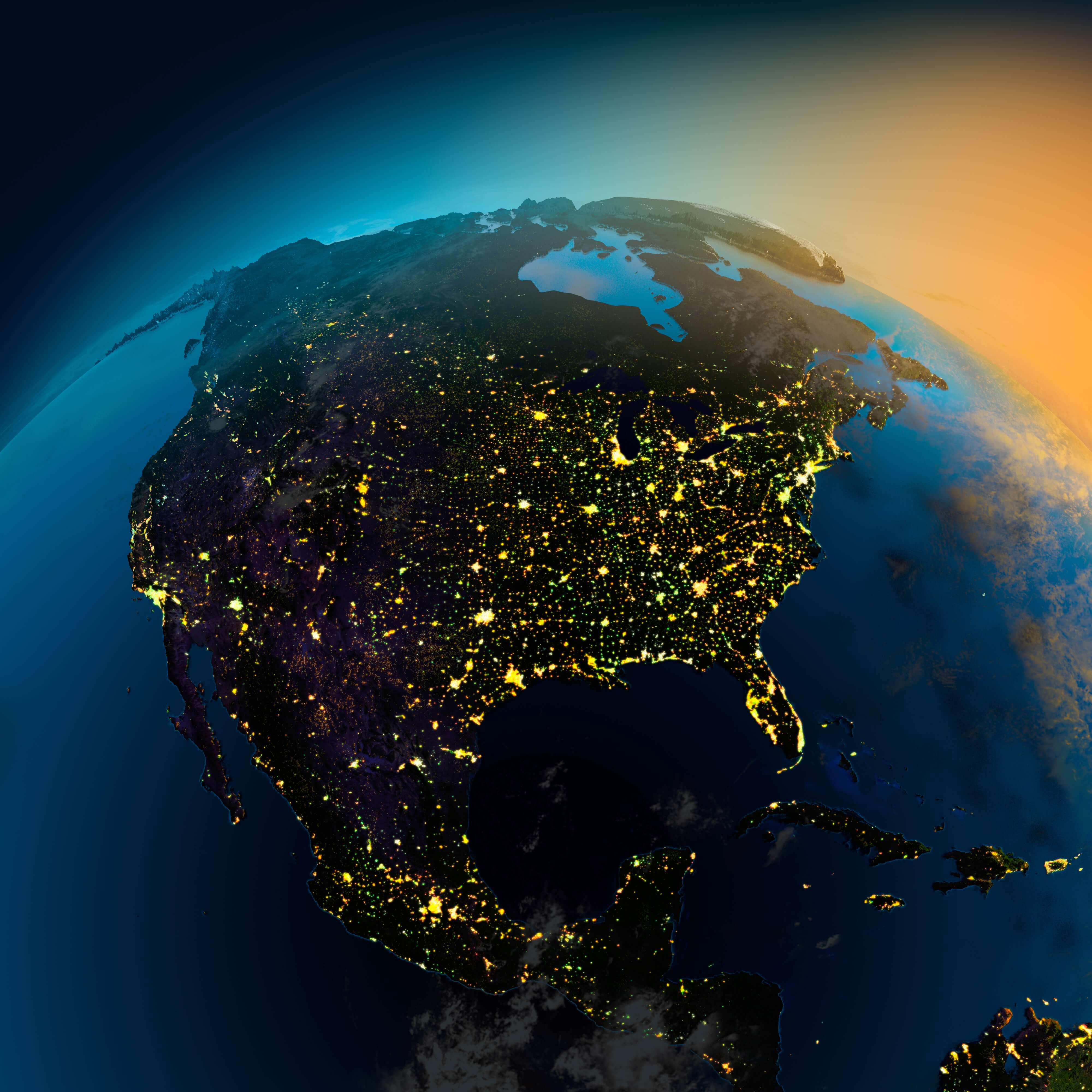
North America Satellite Map
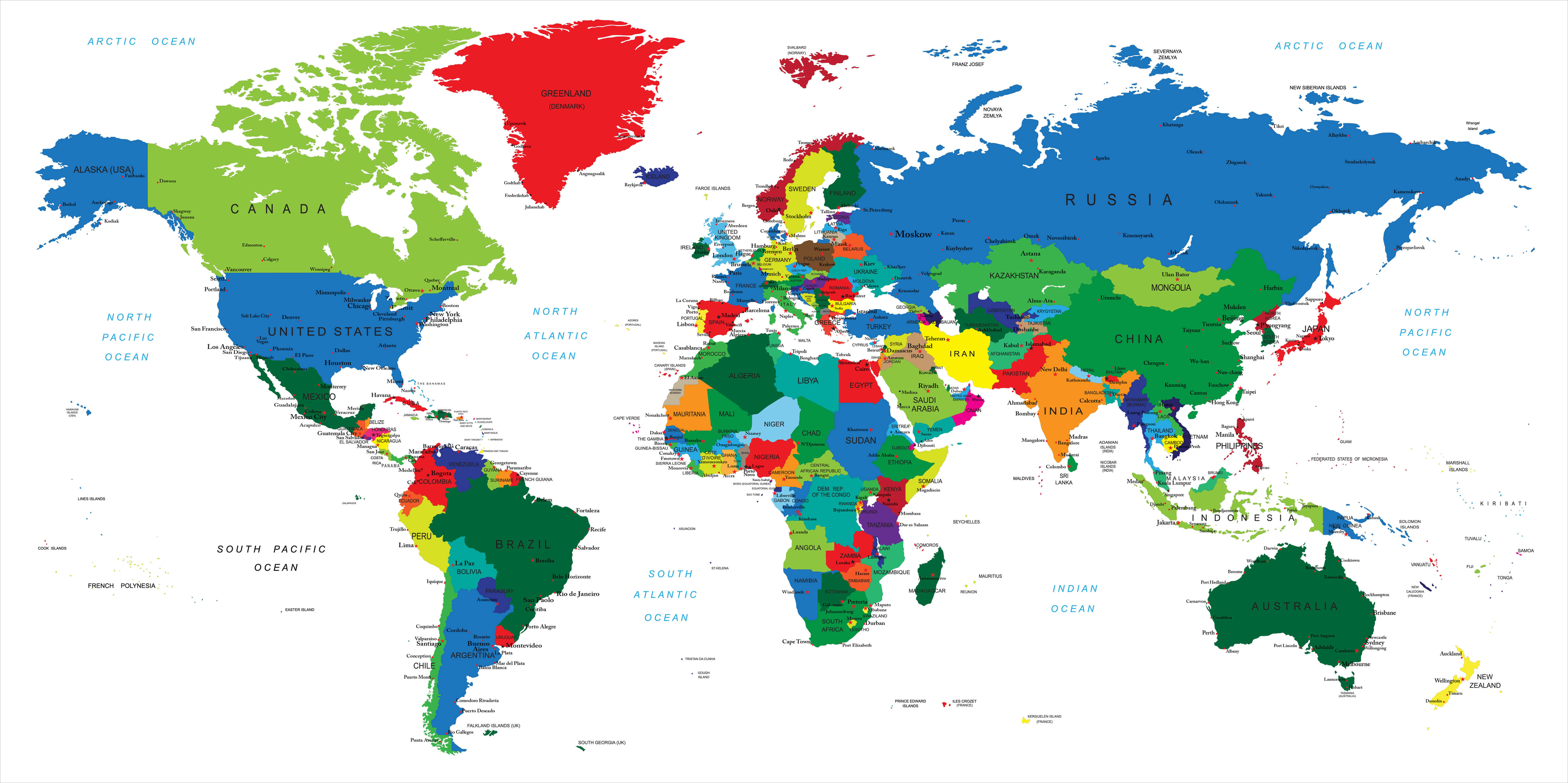
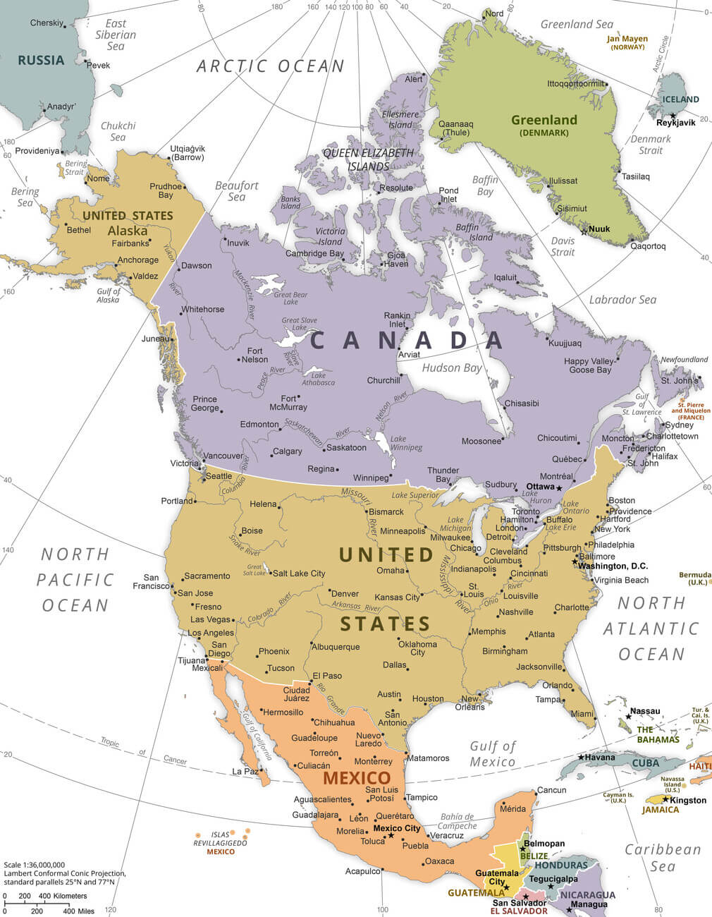
Large political map of North America with major cities
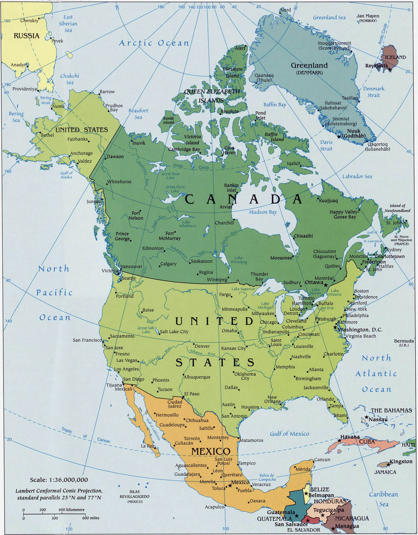
North American cities road map
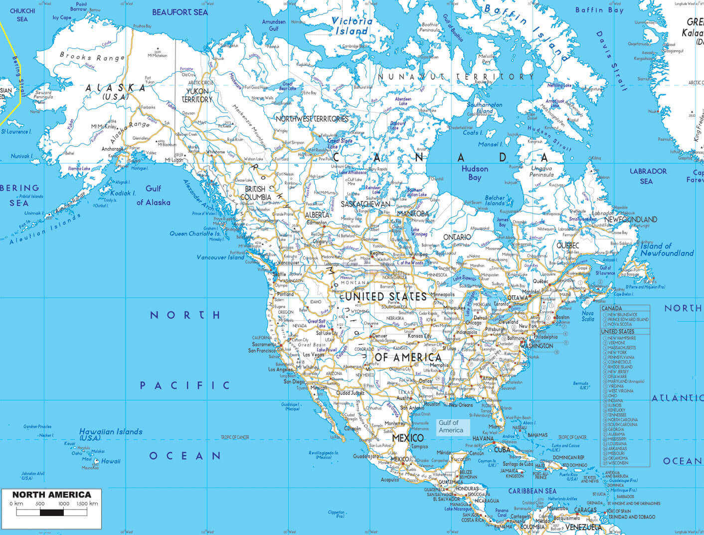
North America cities physical map
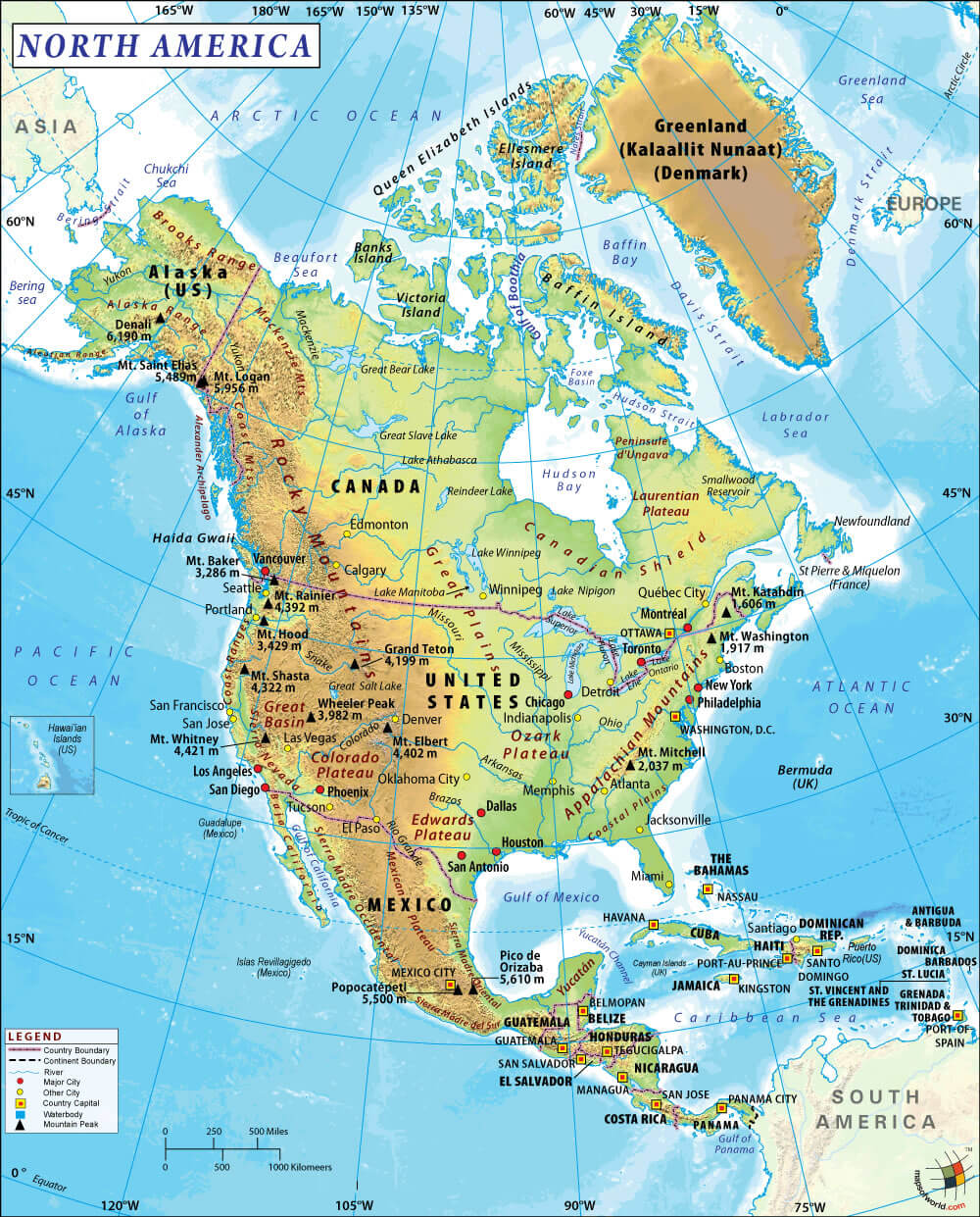
North America relief and cities map
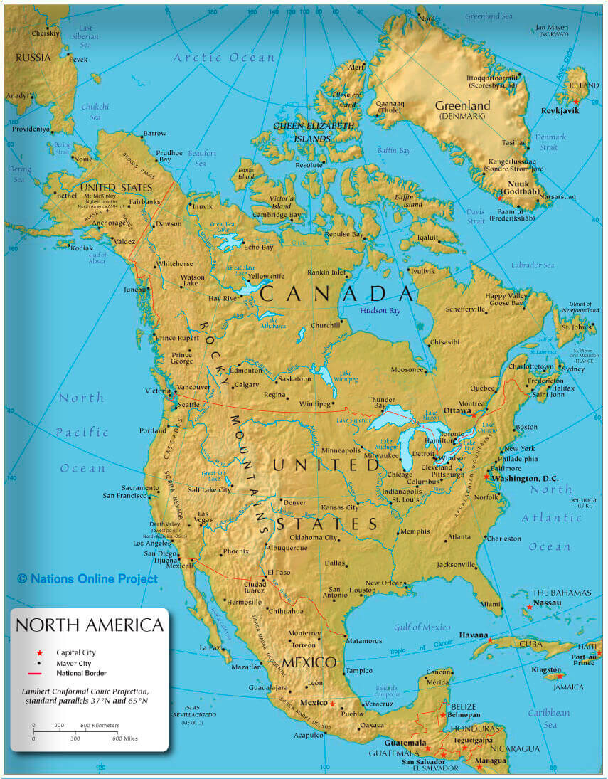
North America political map with US Canada Mexico Greenland
For more North America Maps
Feel free to explore US states maps:
- North America Map ↗️
- North America Cities Map ↗️
- North America High-resolution Map ↗️
- North America Maps ↗️
- North America Time Zones with Cities & States ↗️
- A Collection of North America Maps ↗️
- North America ↗️
- Map North America ↗️
- Political Map of North America ↗️
- Physical Map of North America ↗️
- North America Satellite Map ↗️
- North America Earth Map ↗️
- North America Historical Map ↗️
- Advertisement -
