- Advertisement -
Ohio A Variaty Maps
Ohoi Interstates Map
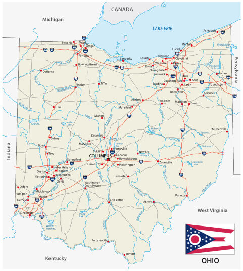
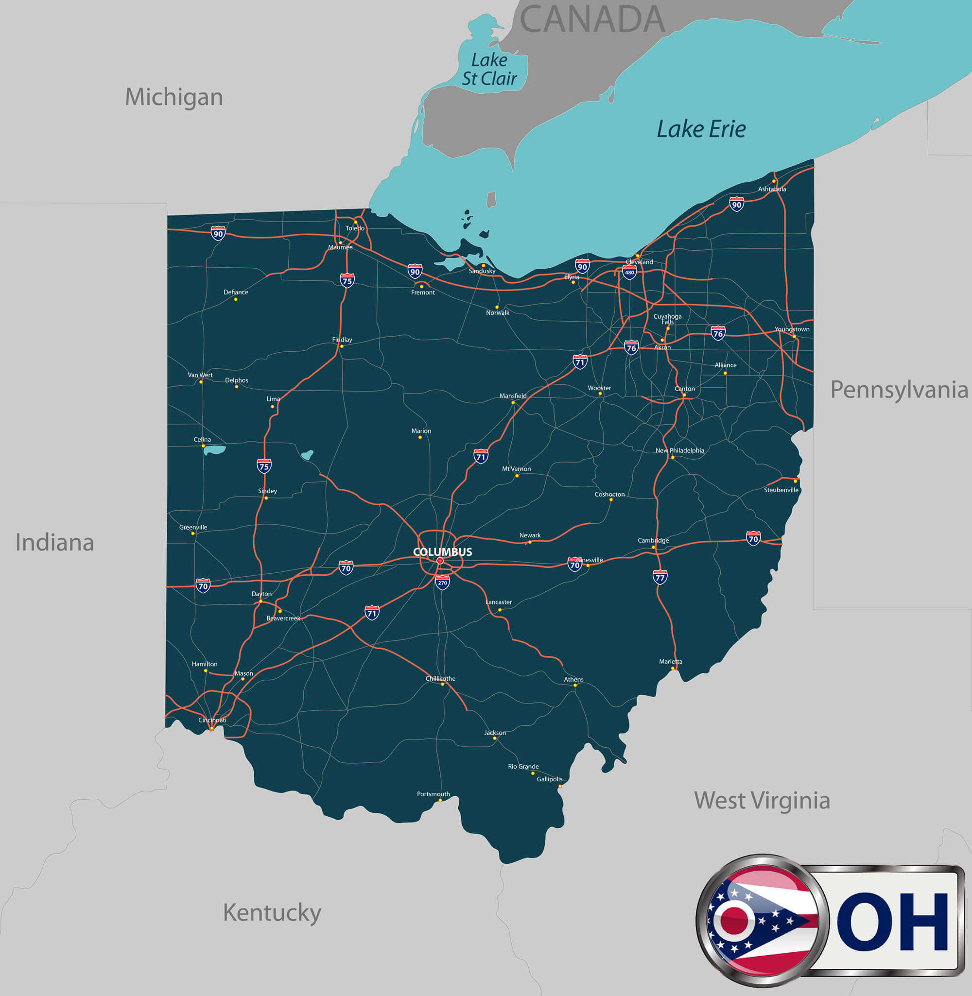
Ohio road map with flag and interstates.
Map of Ohio, US
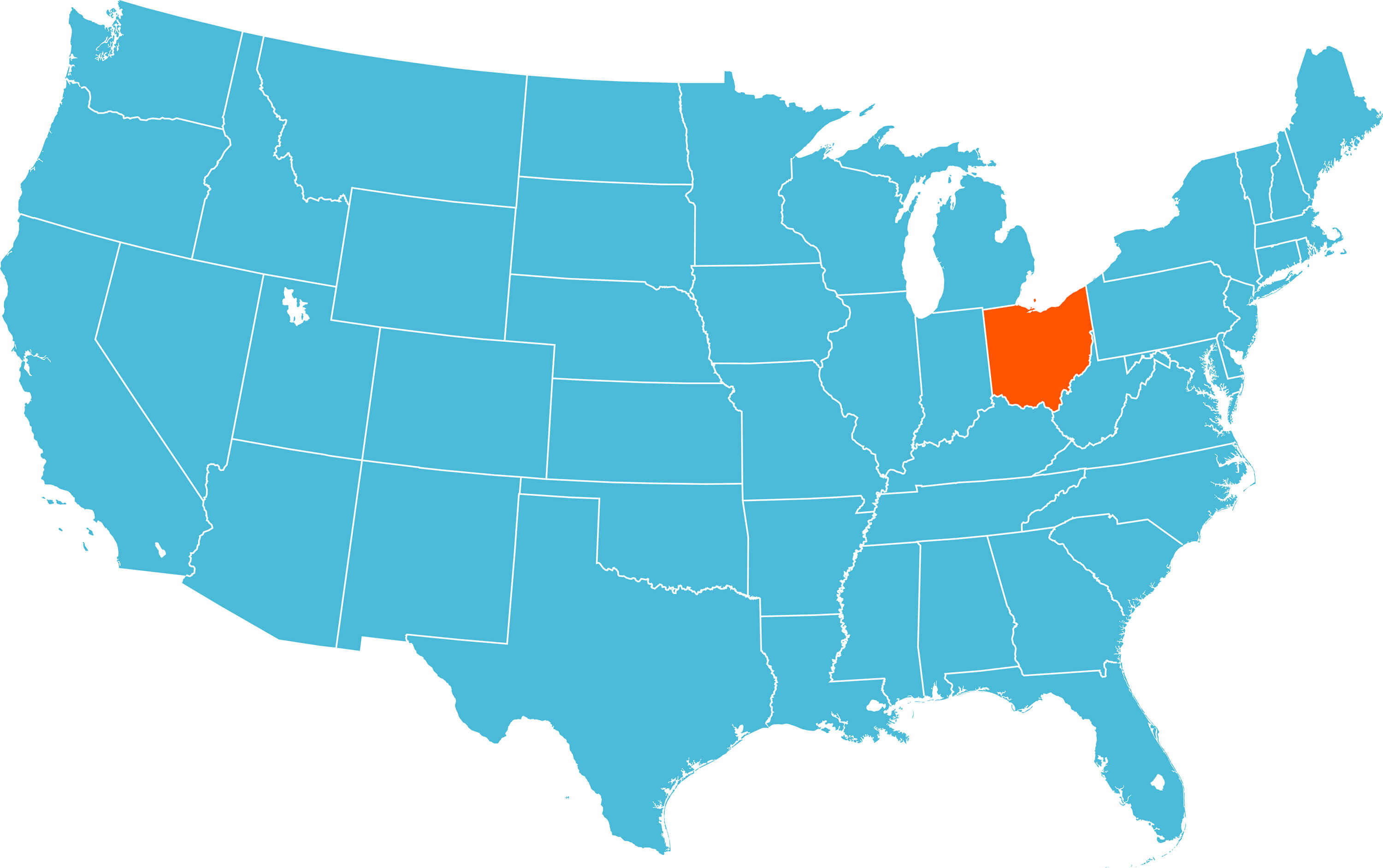
Map of Ohio with US States.
Detailed Map of Ohio
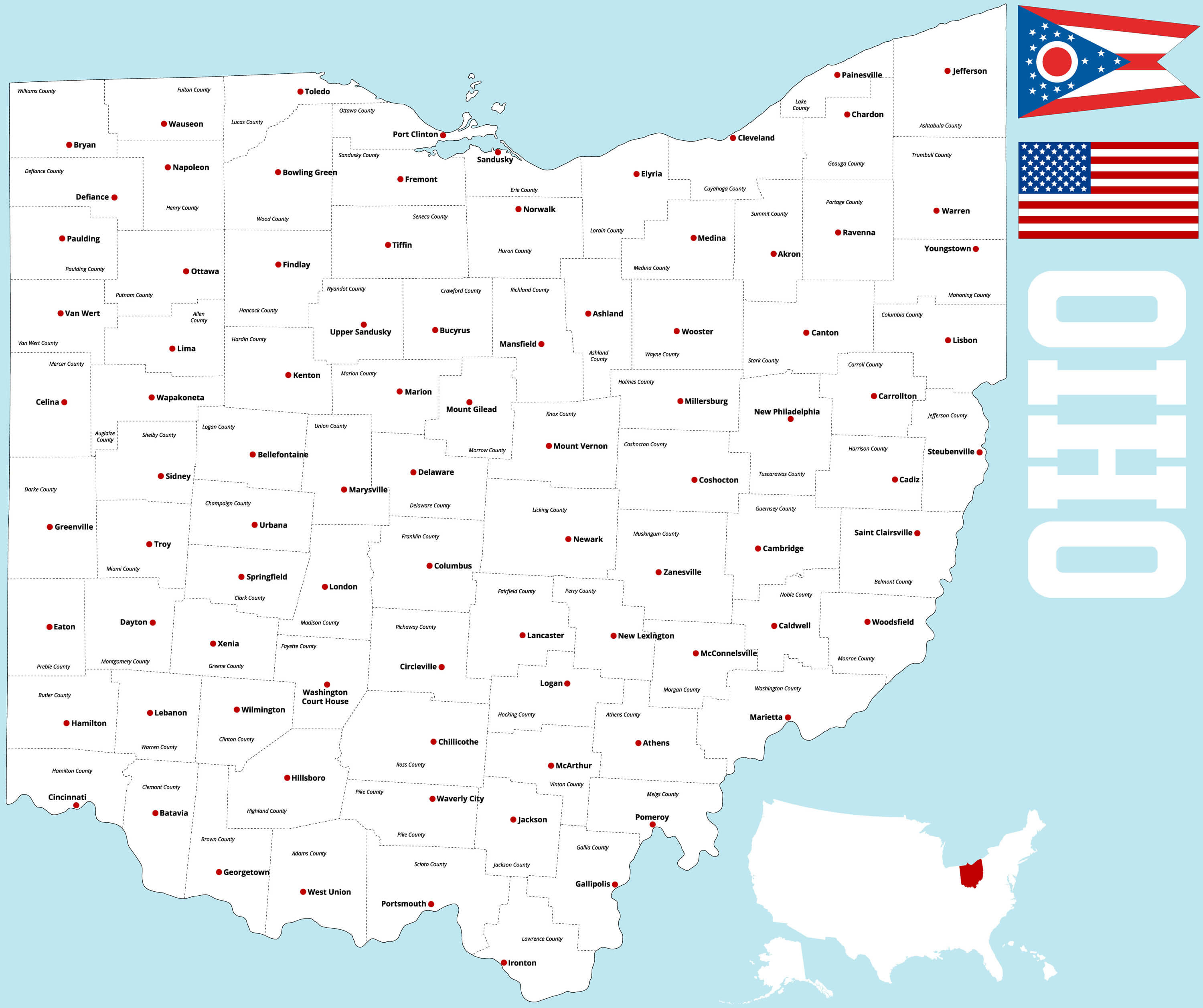
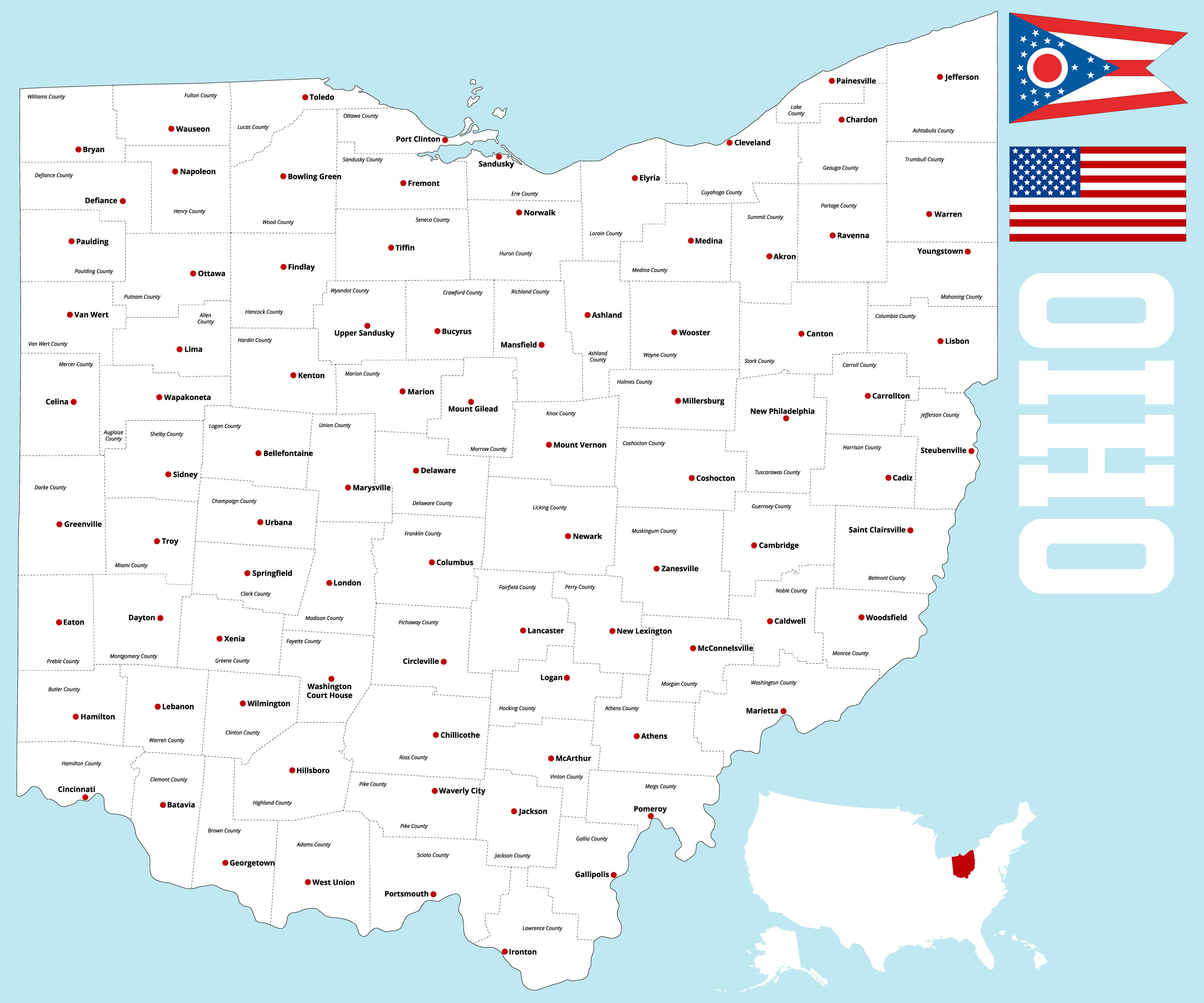
A large and detailed map of the State of Ohio with all counties and county seats.
Ohio USA Interstate Road Map
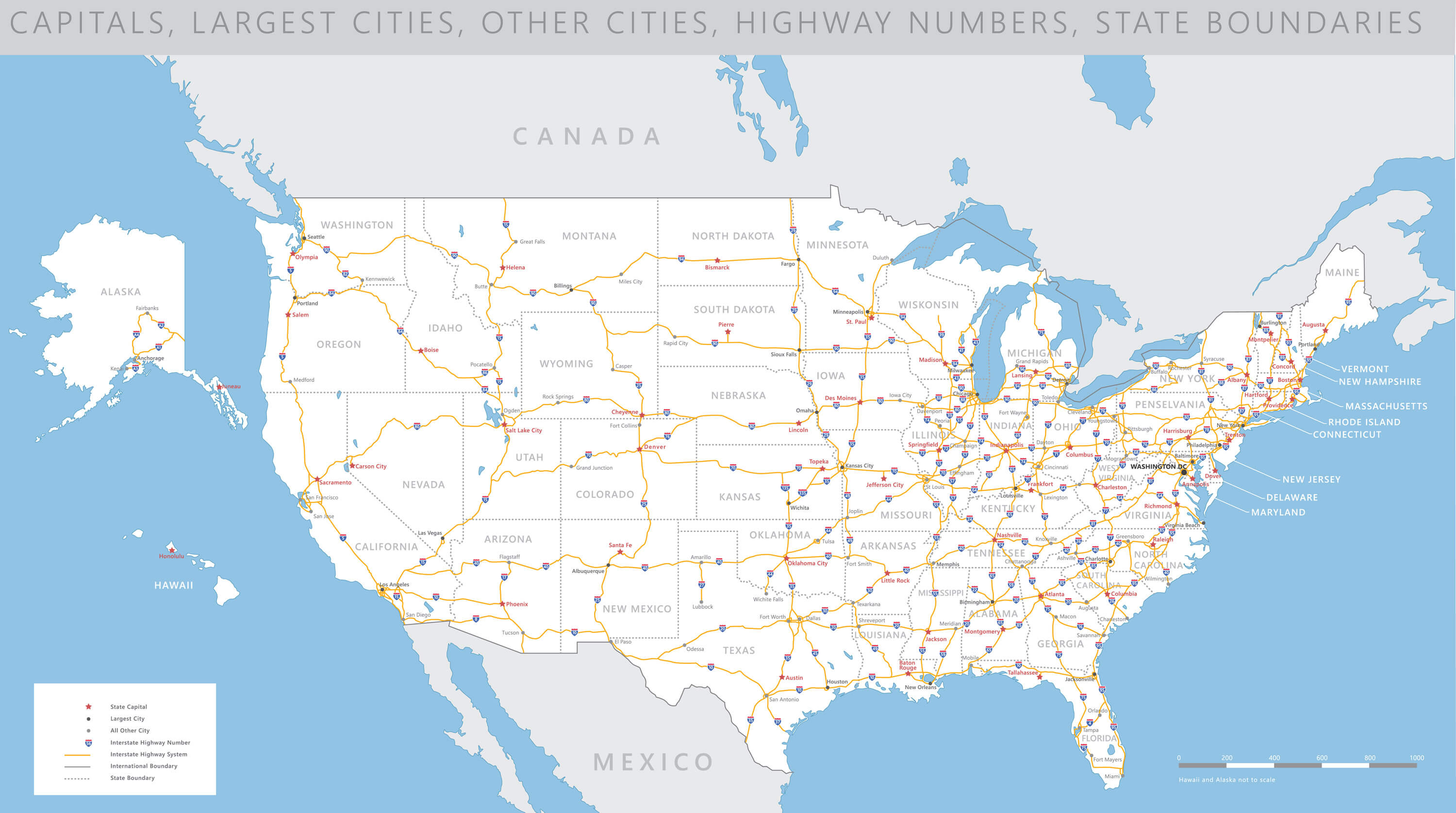
High detailed Ohio USA interstate road map vector.
Ohio USA State Map
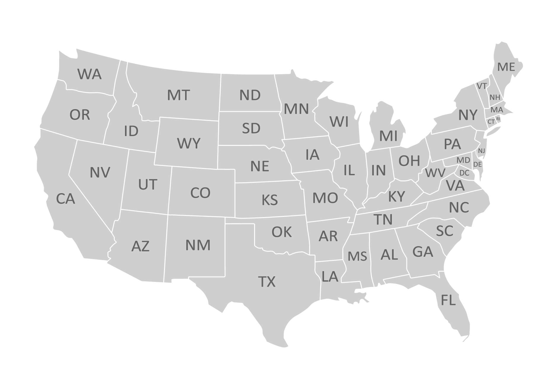
Ohio USA map with states.
Geographic Map of Ohio
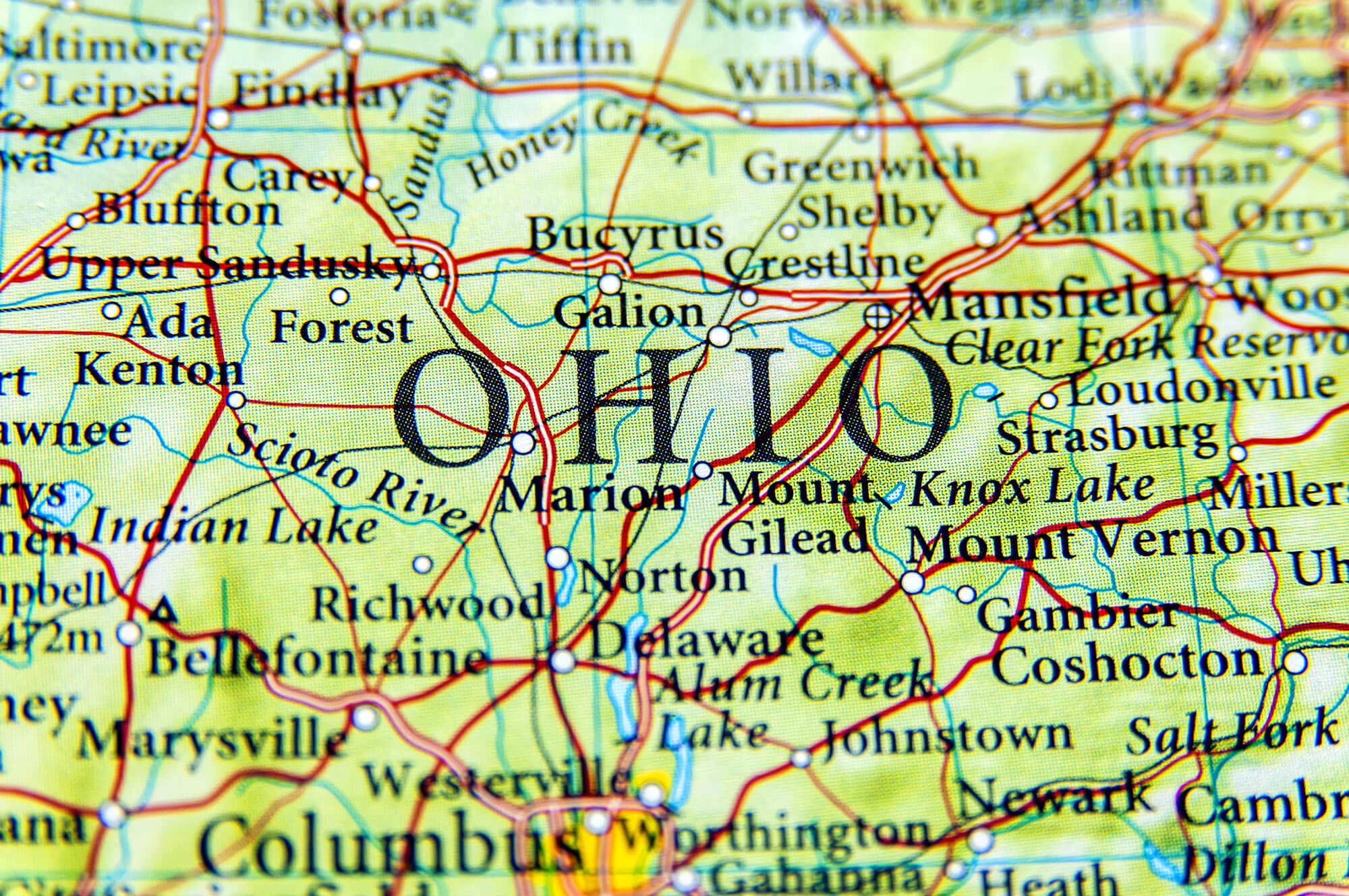
Geographic map of Ohio close Colombus and Mansfield.
Ohio State with Roads Map
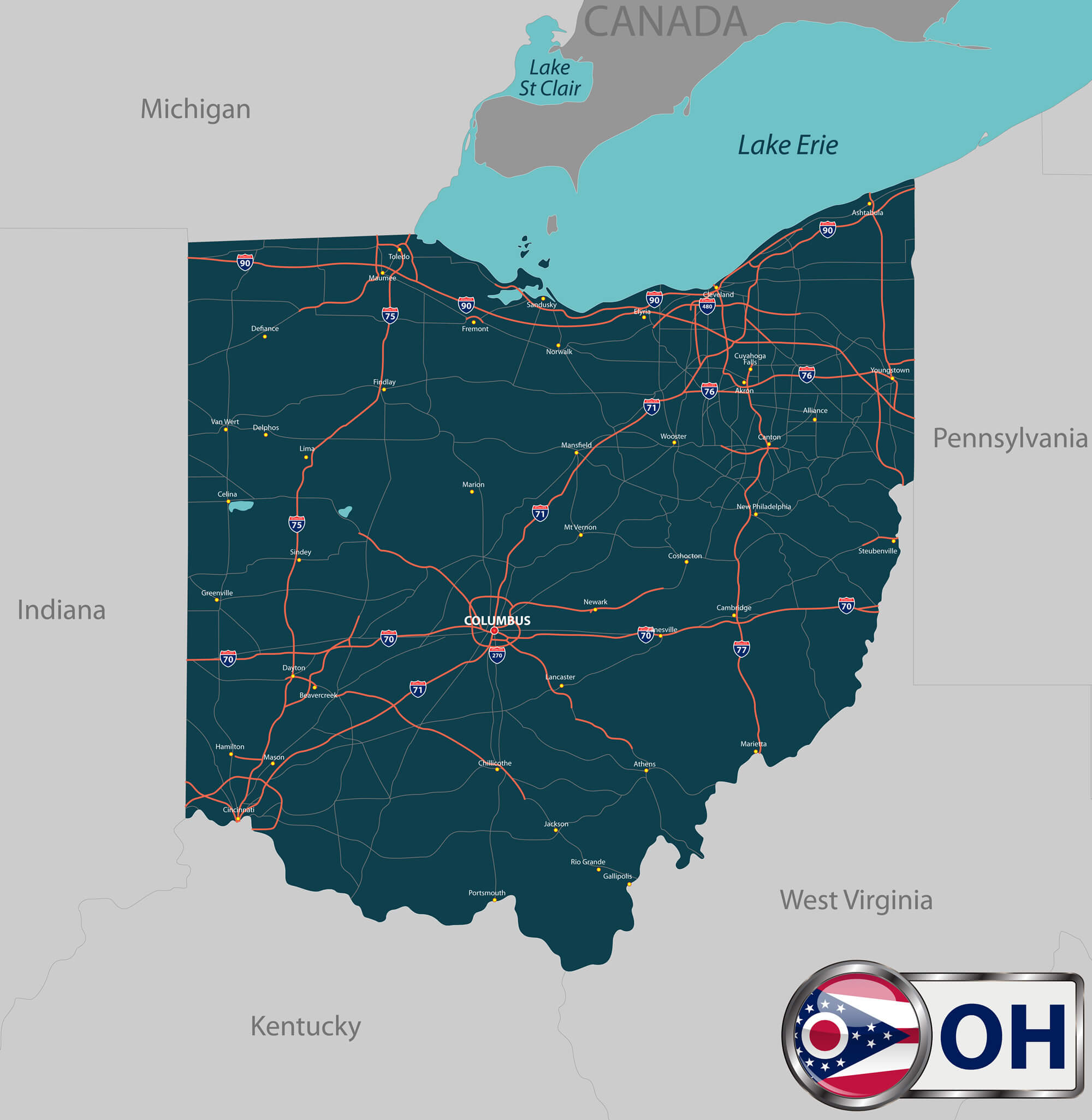
Vector set of Ohio state with roads map, cities and neighboring states.
Ohio population density map by county
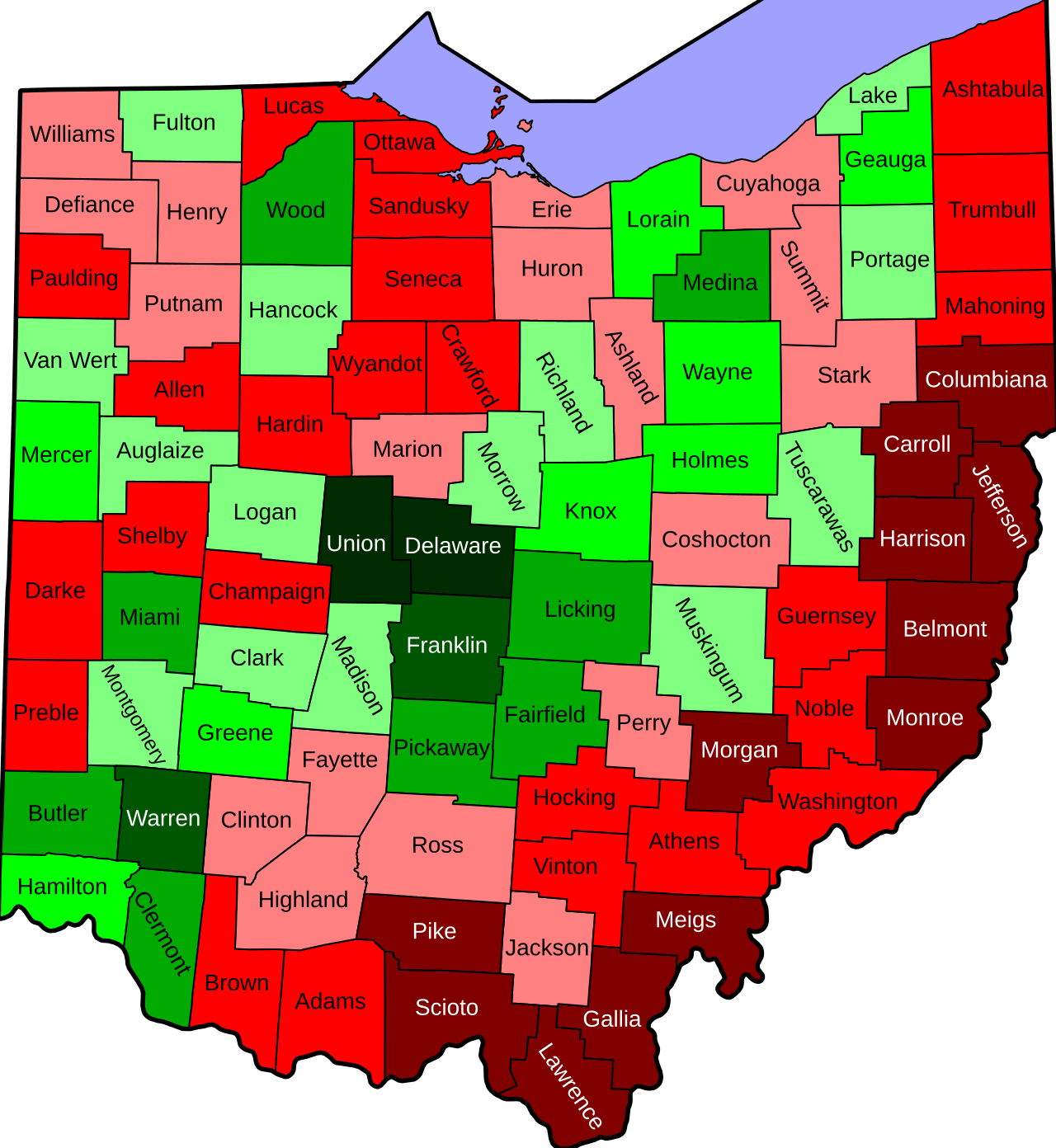
Ohio state with roads map
Ohio outlined cities map
Where is Ohio on the United States Map?
Show Google map, satellite map, where is the country located.
Get directions by driving, walking, bicycling, public transportation and travel with street view.
Feel free to explore these pages as well:
- Ohio Map ↗️
- Map of Ohio ↗️
- Ohio Cities Map ↗️
- Ohio Photos Map ↗️
- California Map ↗️
- Texas Map ↗️
- New York Map ↗️
- Florida Map ↗️
- Illinois Map ↗️
- Pennsylvania Map ↗️
- Advertisement -
