
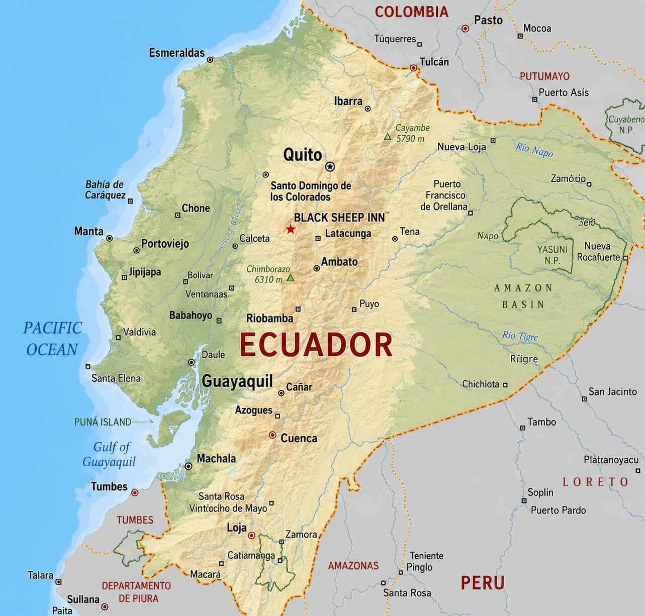
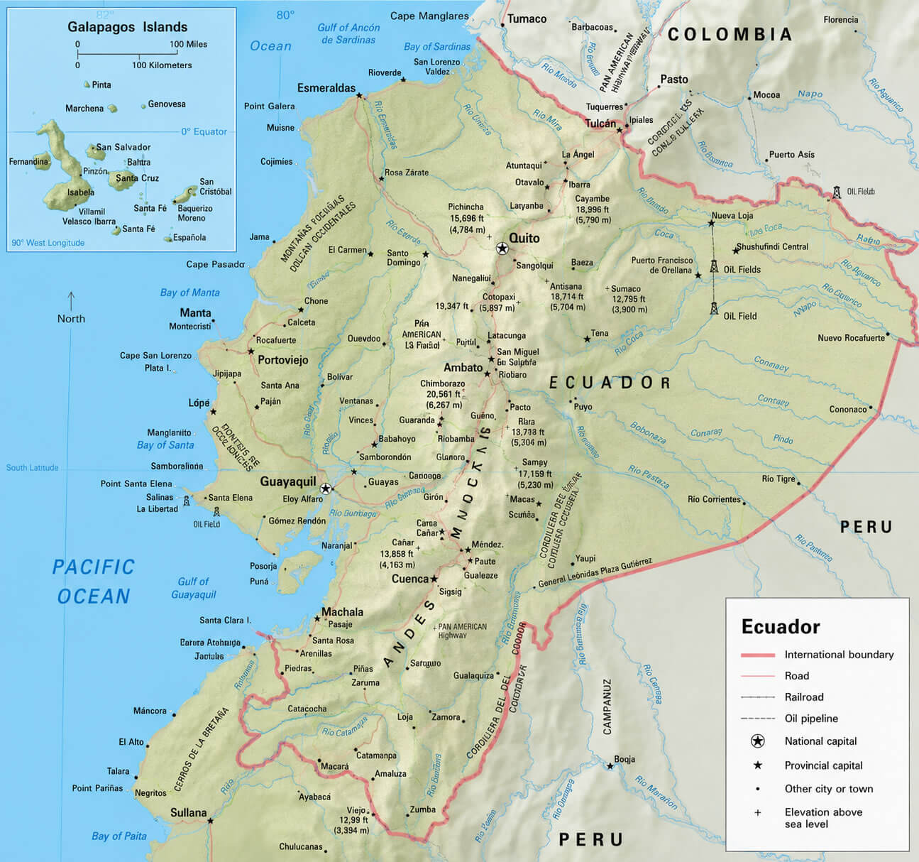
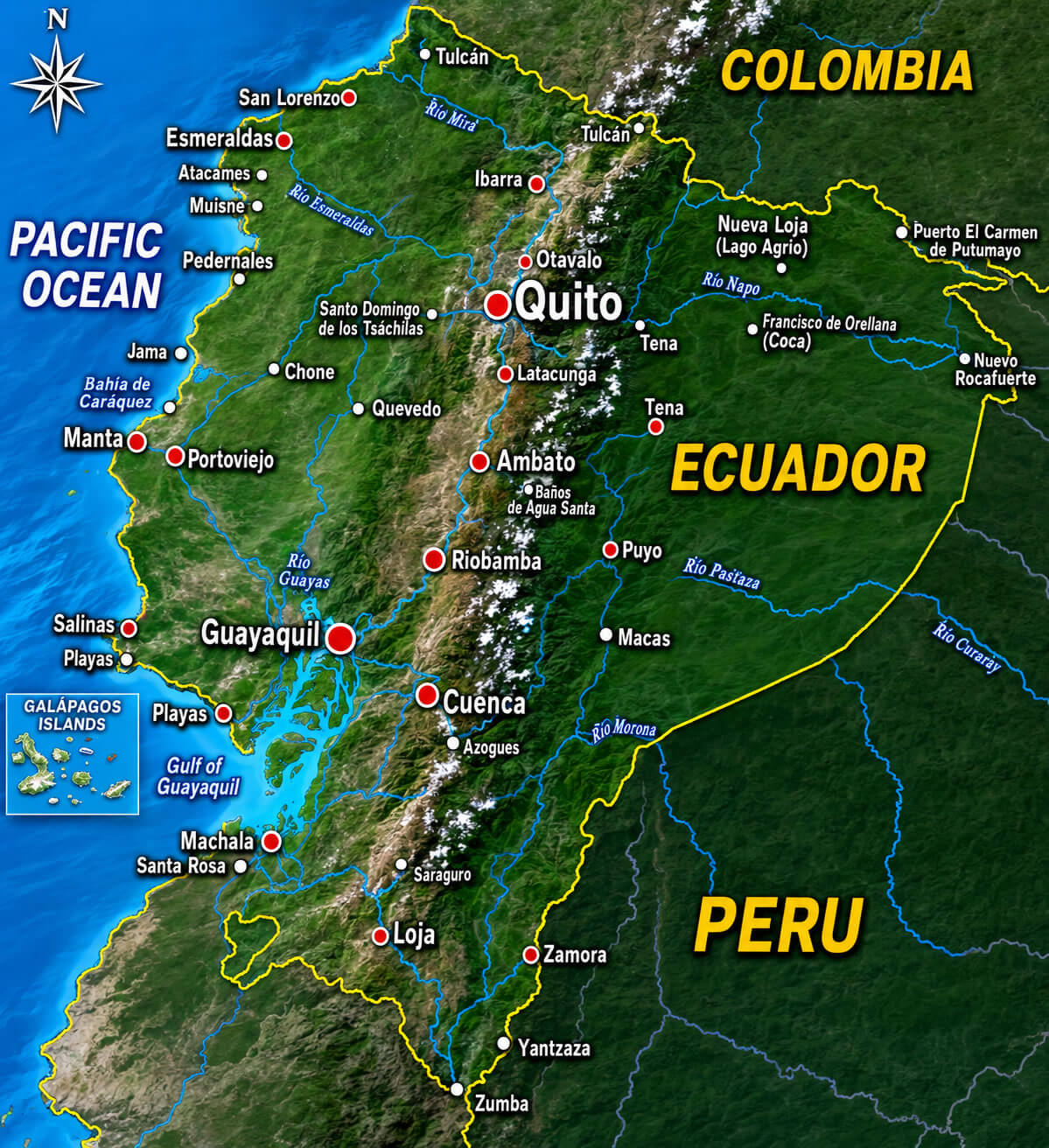
Ecuador Physical Map provides a detailed view of the country’s diverse landscapes, including the Andes Mountains, the Amazon Rainforest, the Pacific coastal plains, and the famous Galápagos Islands. Whether you are exploring an Ecuador physical map, Ecuador physical relief map, or Ecuador topographic map, these maps clearly illustrate elevation changes, mountain ranges, river valleys, and other natural features. You can also use an Ecuador Google Earth map or Ecuador satellite map to examine the country’s terrain from above, while an Ecuador physical map with roads and Ecuador transportation map help you understand how major highways and transport routes connect Ecuador’s regions.
Ecuador physical map
Ecuador physical map with roads
Ecuador satellite map
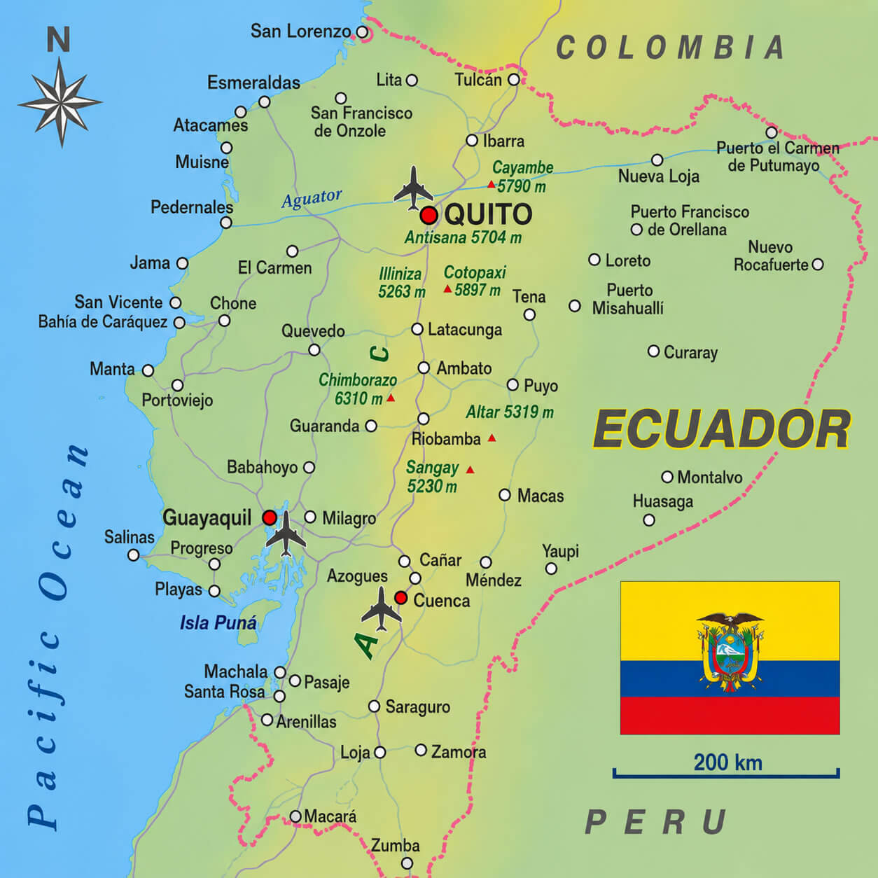
This collection also includes an Ecuador cities map with rivers, highlighting the relationship between urban centers and major waterways, as well as an Ecuador cities map with airports for convenient travel planning. Visitors can use an Ecuador tourism map to discover popular attractions such as Quito, Cuenca, Cotopaxi National Park, the Amazon Basin, and the Galápagos Islands. Whether you are studying geography, planning an adventure, or researching Ecuador’s natural environment, these detailed physical maps provide accurate and easy-to-read geographic information.
Ecuador cities map with airports
Ecuador cities map with rivers
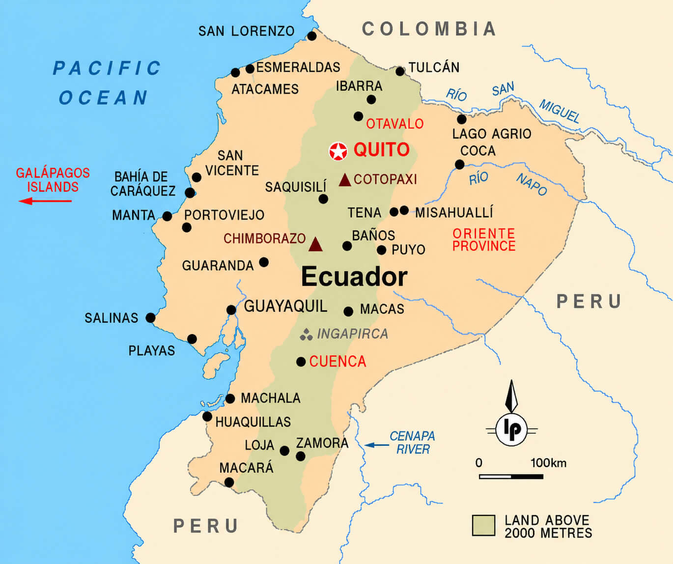
Ecuador Google Earth map
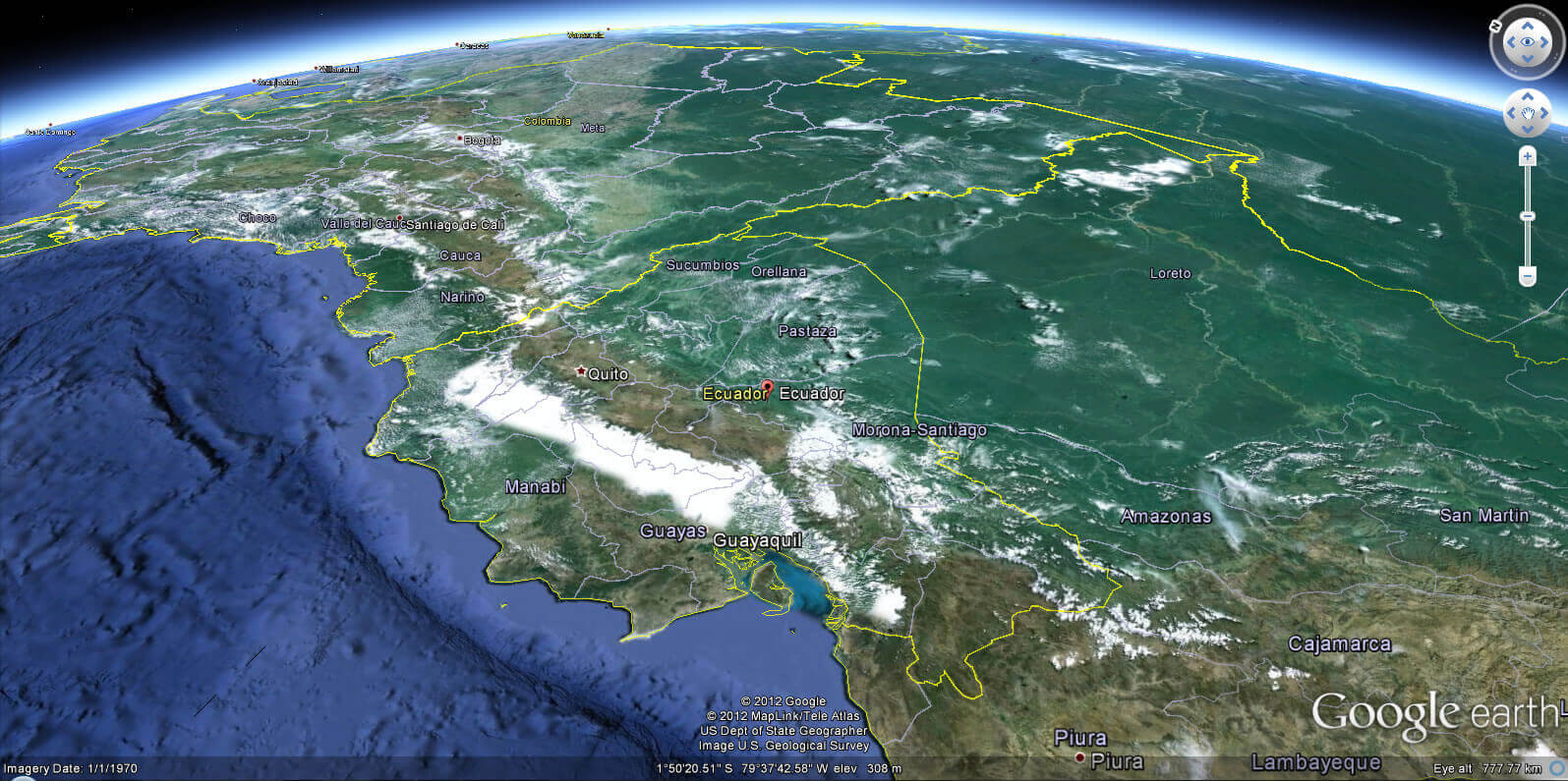
Ecuador physical relief map
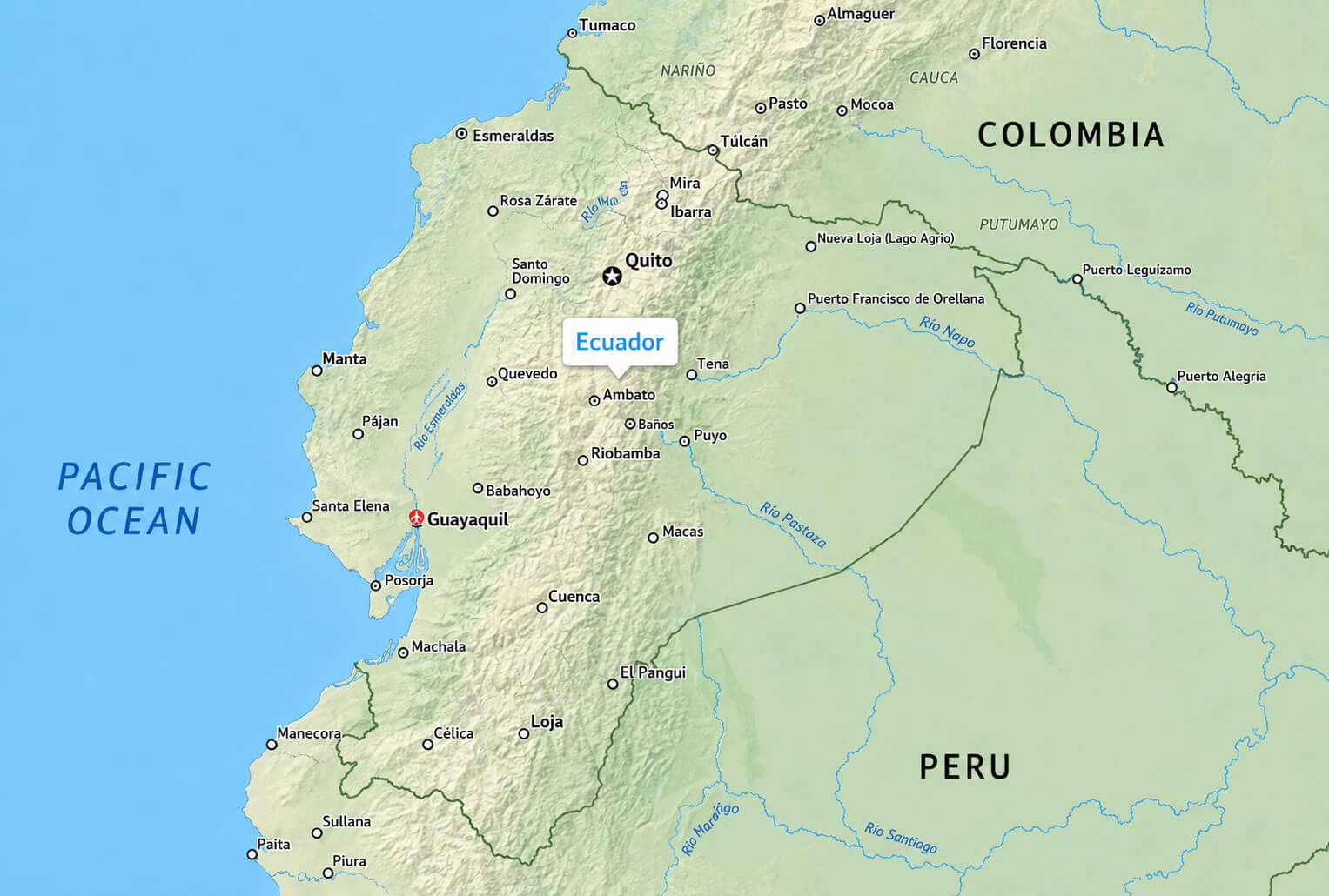
Ecuador topographic map
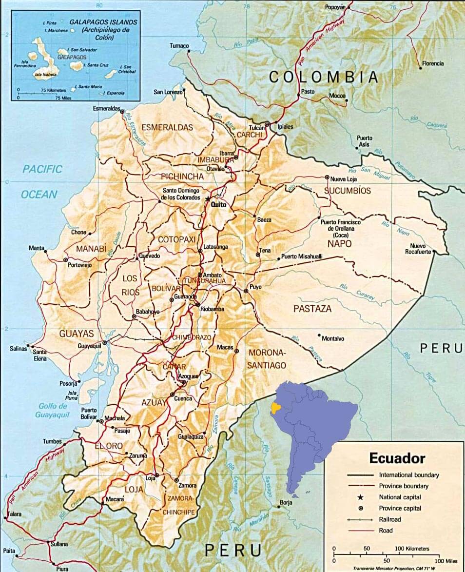
Ecuador tourism map
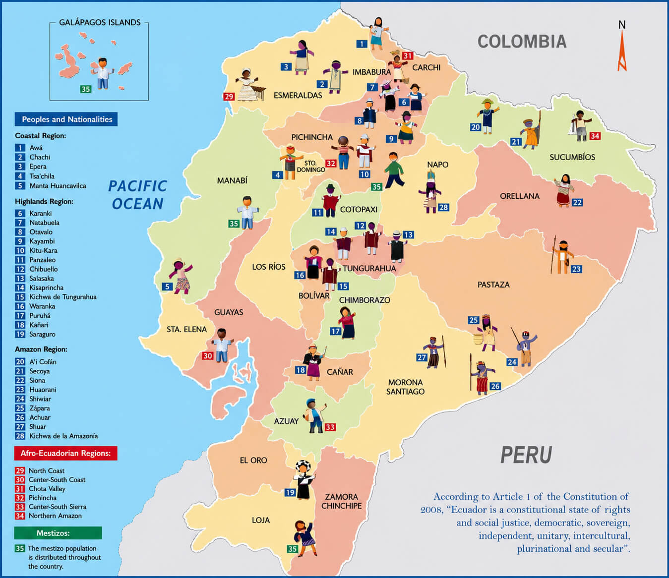
Ecuador transportation map
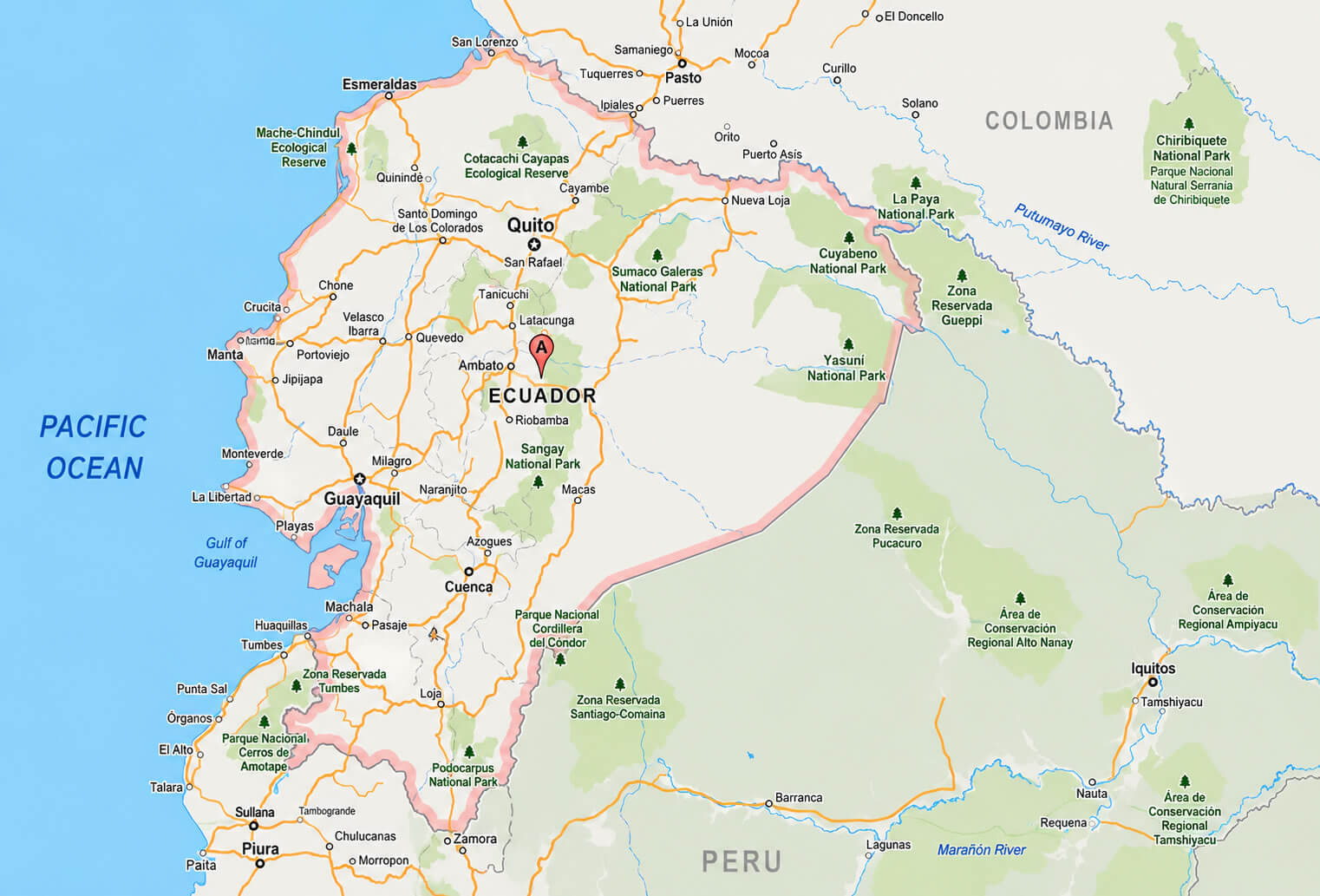
Where is Ecuador on the South America Map?
Show Google map, satellite map, where is the country located.
Get directions by driving, walking, bicycling, public transportation and travel with street view.

