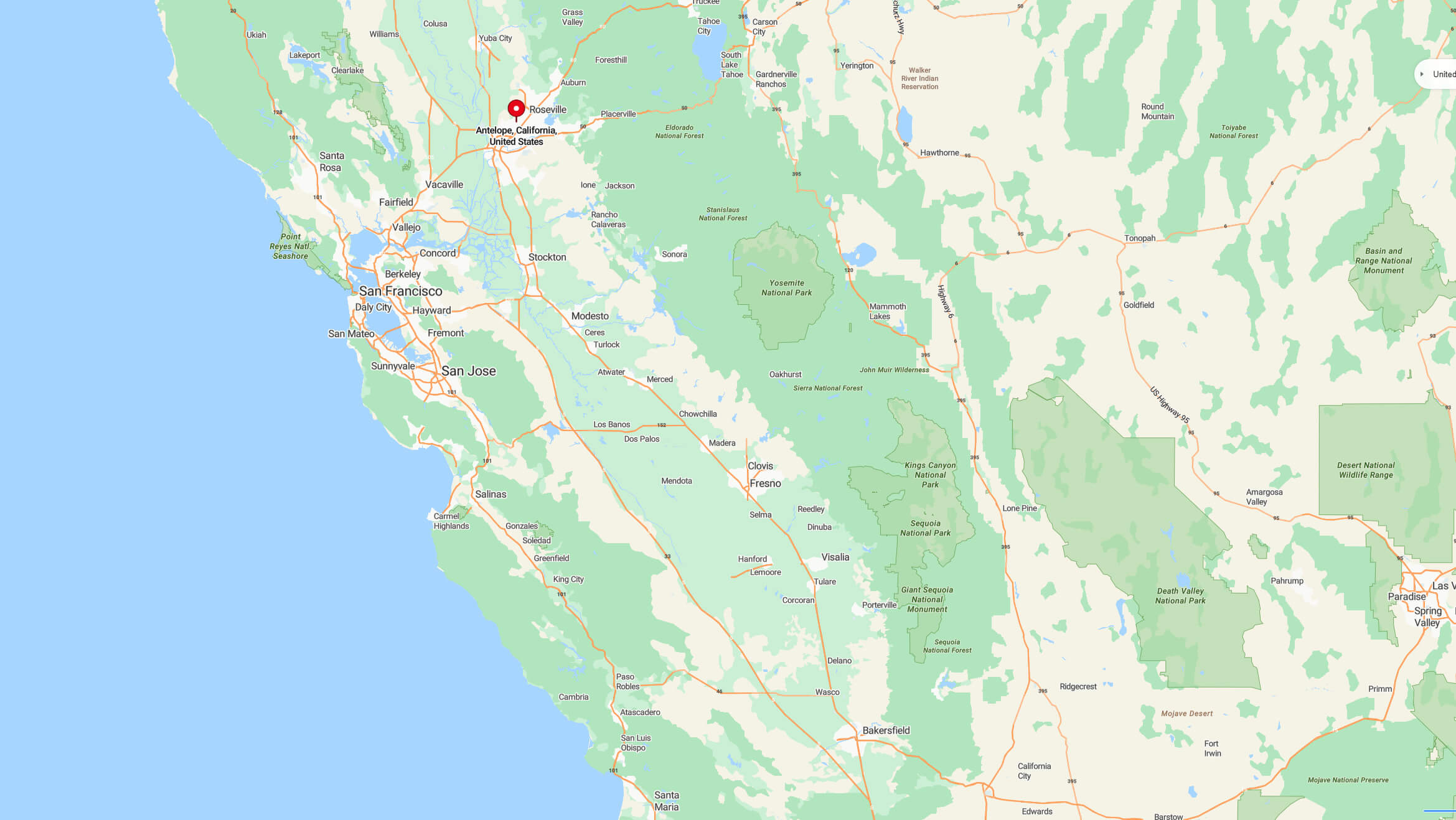
Explore Antelope’s geographic location on city and terrain maps, and discover its position within California and the United States. Located in Sacramento County, Northern California, Antelope offers a suburban community setting with nearby parks, schools, and a mild Mediterranean climate, situated northeast of Sacramento.
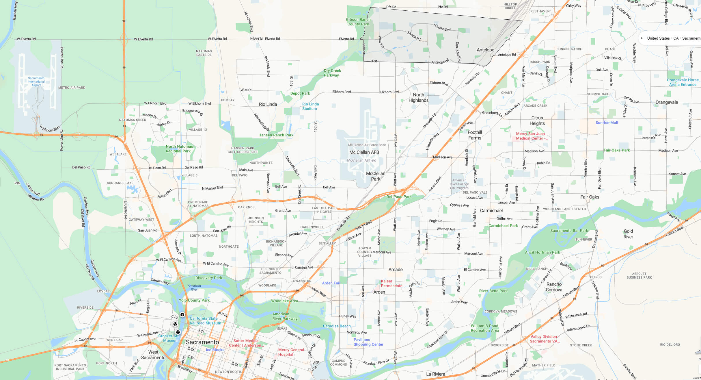
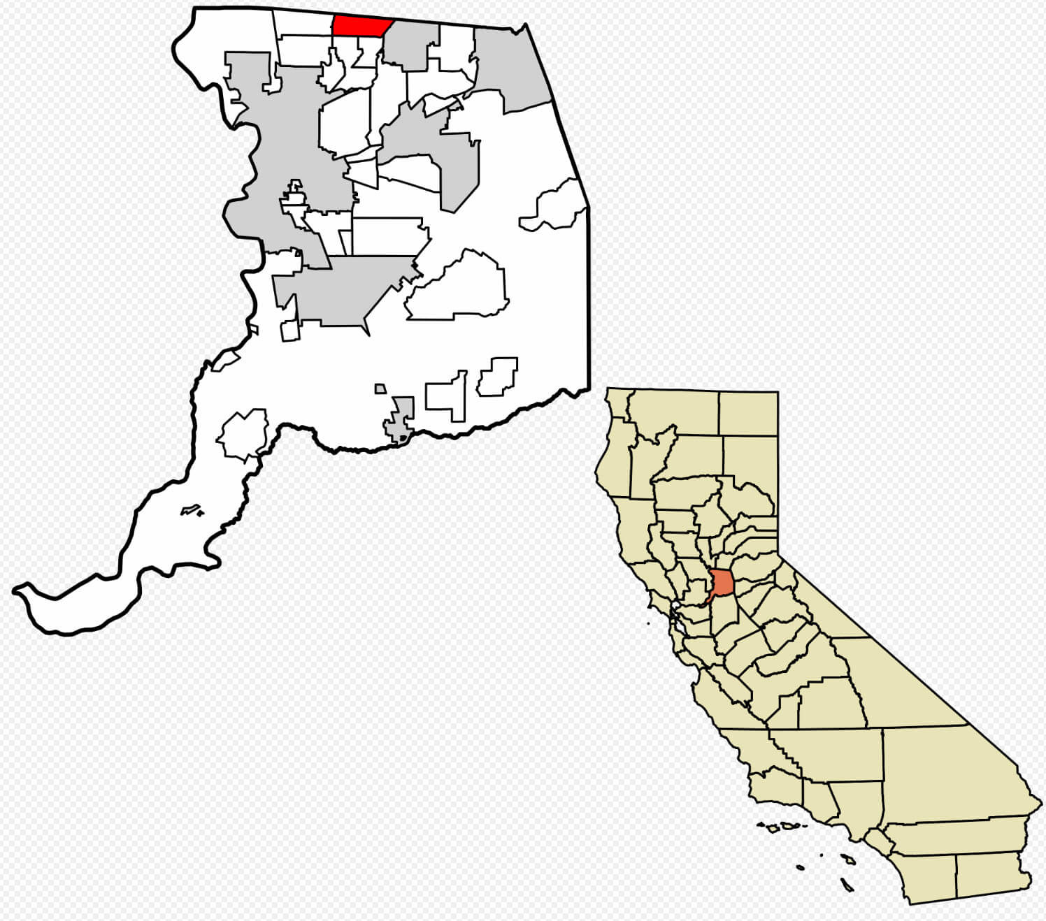
Antelope county map Sacramento
Where is Antelope in California
Geography
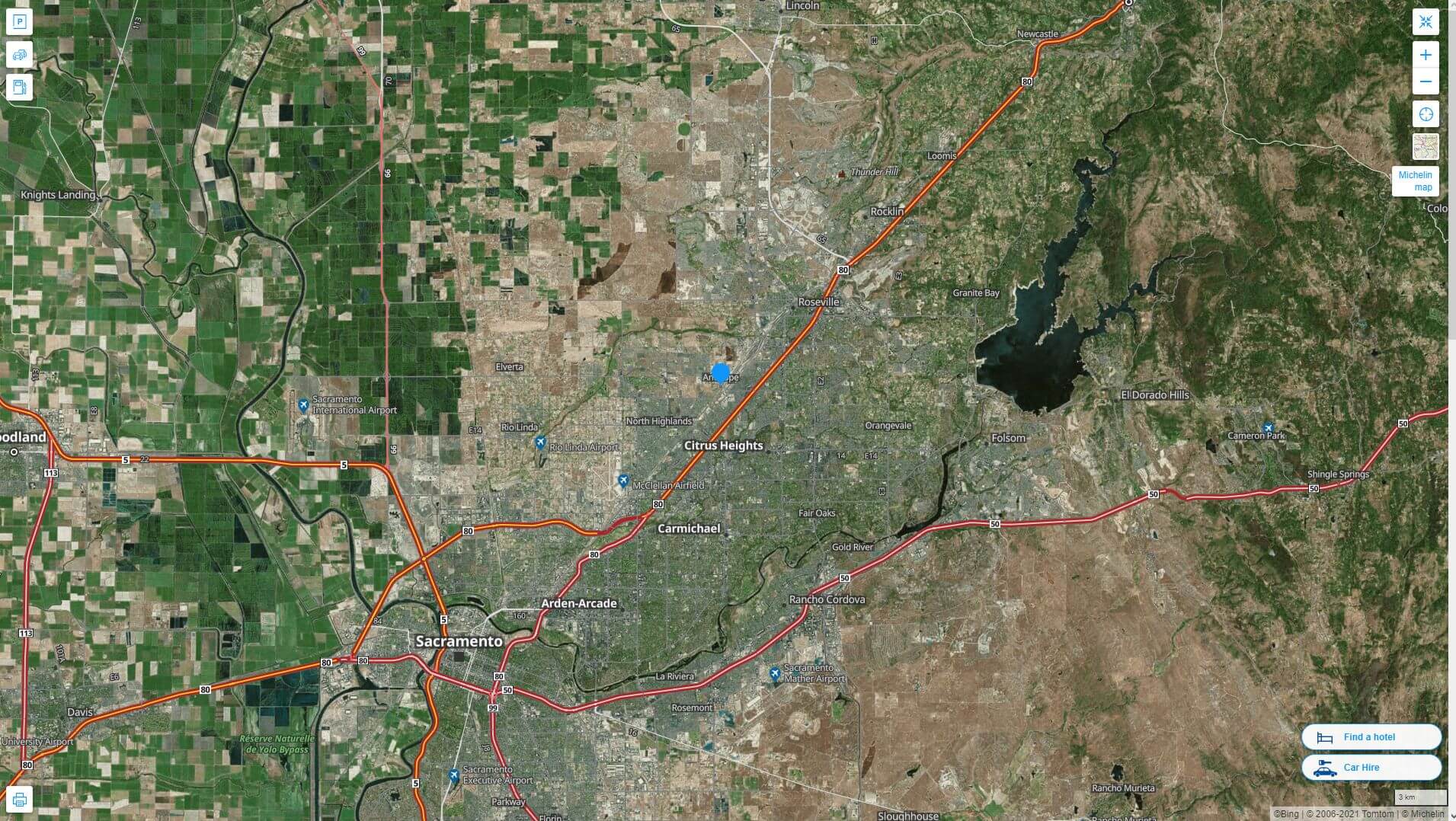
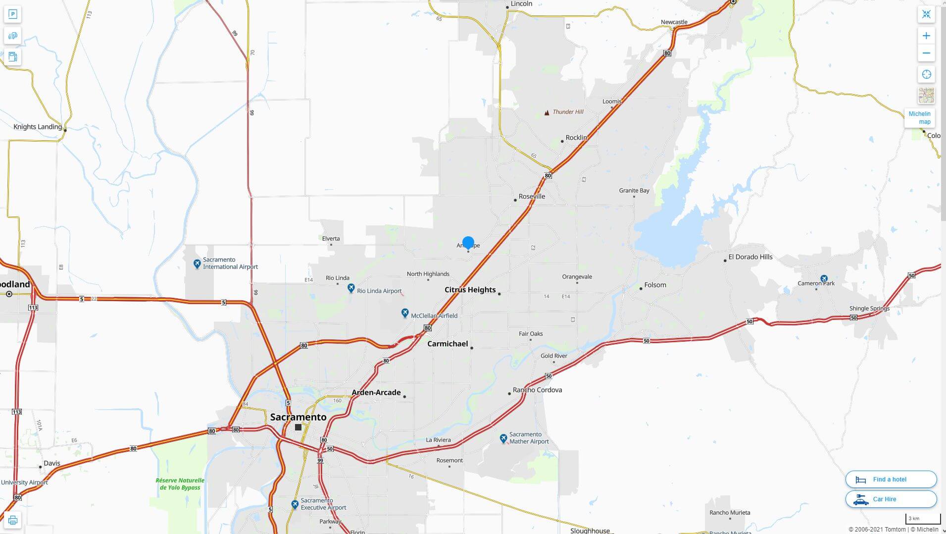
Antelope is a census-designated place situated in Sacramento County, California, United States. It is located about 15 miles (24 km) northeast of downtown Sacramento and approximately 5 miles (8 km) southwest of Roseville. The US Census Bureau reports that the community covers a total area of 6.84 square miles (17.7 km²). The terrain in Antelope is predominantly flat, featuring very few hills and no significant bodies of water.
Antelope California highway and road map with satellite view
Antelope County Map California
History
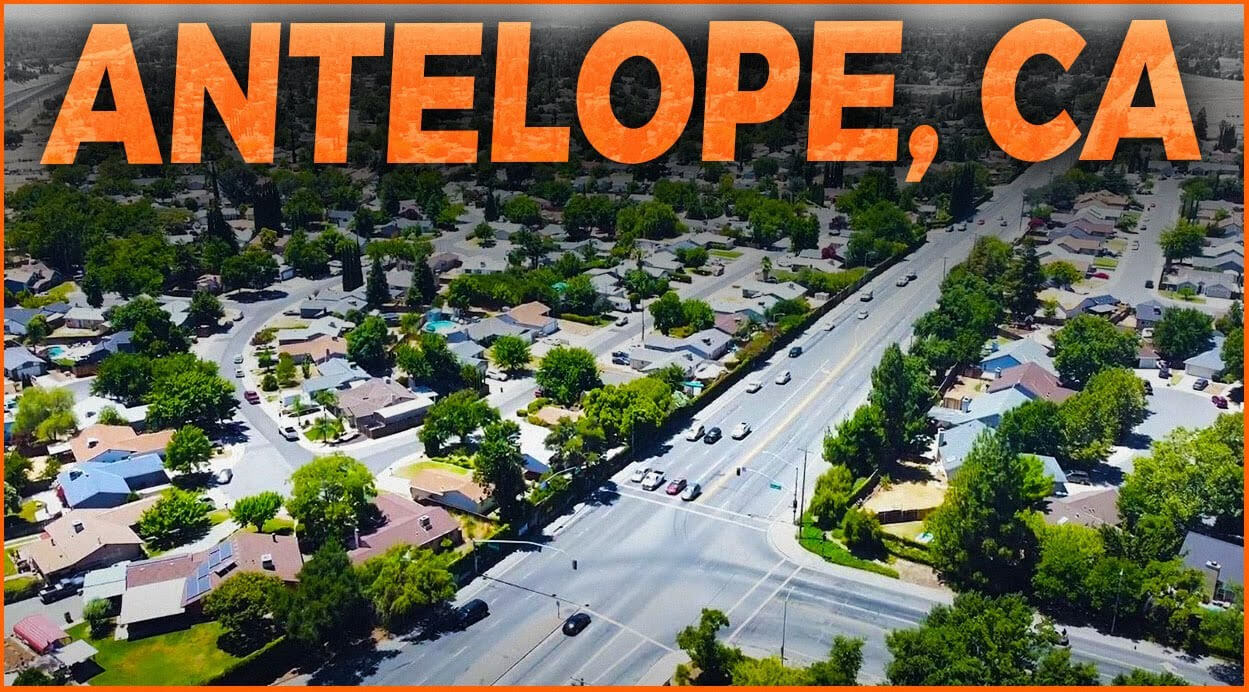
In the late 19th century, Antelope was the most prominent settlement in Center Township. This area was bordered to the north by the Placer County line, to the east by what is now Sunrise Boulevard, to the south by the American River, and to the west by a line extending along 20th Street in Rio Linda south to Ethan Way in the Arden-Arcade area. By 1880, the entire township had a population of approximately 400 people. Many railroad workers settled in the area, eventually making it their permanent home.
Antelope California highway and road map
Demographics
According to the 2010 United States Census, Antelope had a population of 45,770. The population density was 6,694.2 people per square mile (2,584.6/km²). In terms of racial composition, 29,200 residents (63.8%) identified as White, 4,039 (8.8%) as African American, 402 (0.9%) as Native American, 6,090 (13.3%) as Asian, 407 (0.9%) as Pacific Islander, 2,284 (5.0%) as belonging to other races, and 3,348 (7.3%) as being of two or more races. Additionally, 6,635 individuals (14.5%) identified as Hispanic or Latino of any race.
Antelope Sacramento aerial view map

Antelope Sacramento terrain map
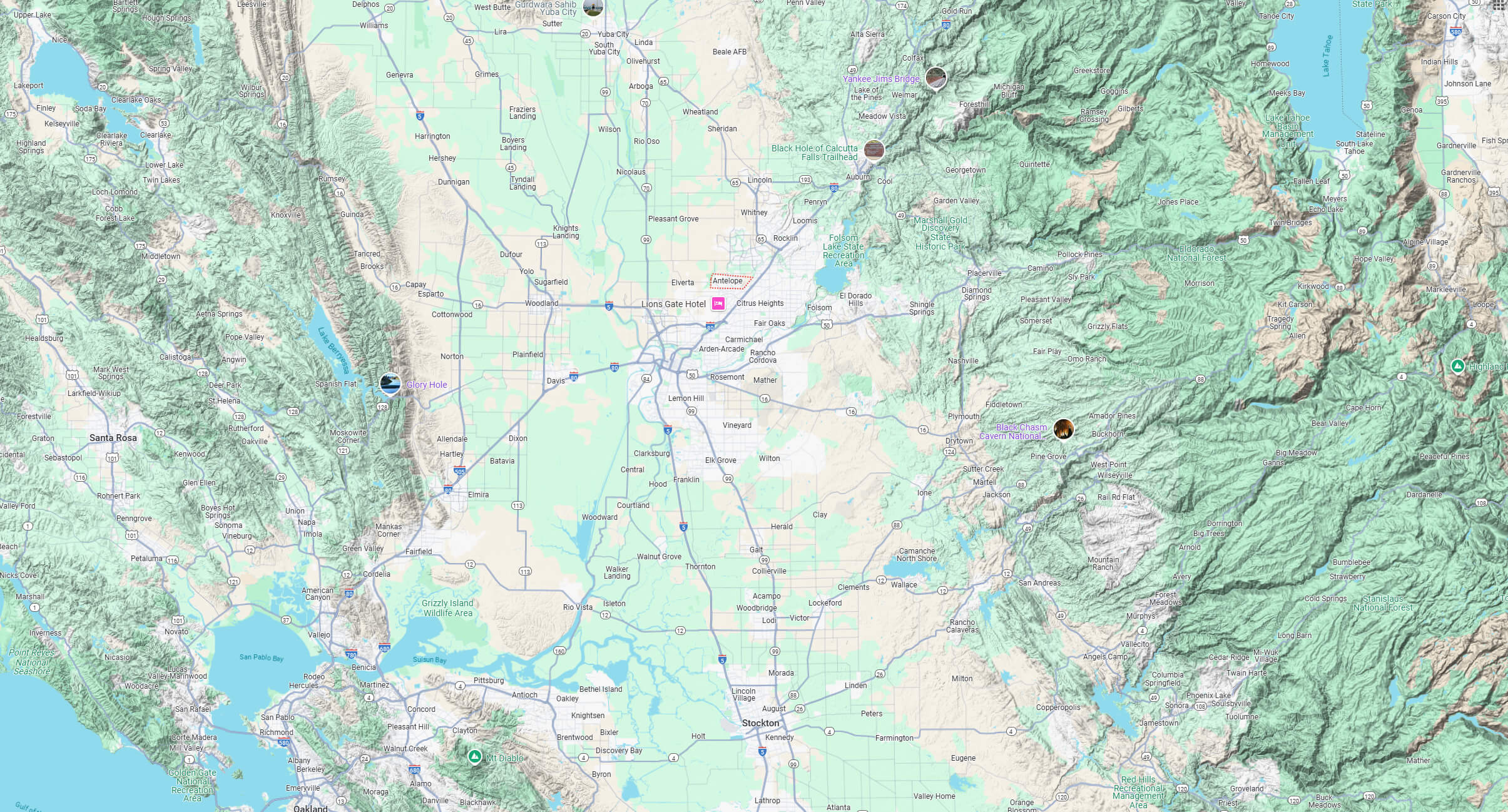
Antelope map California US
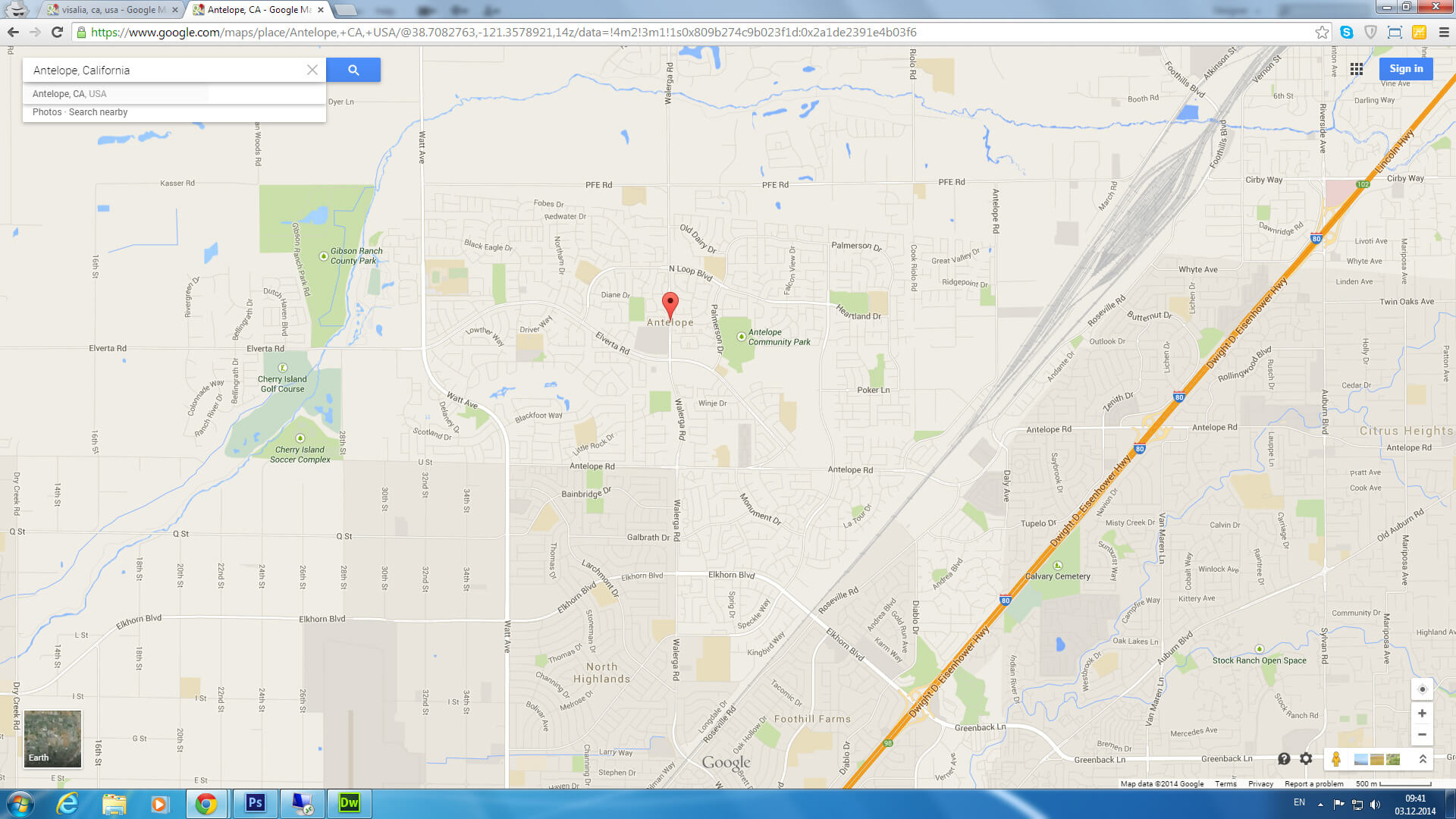
Antelope map California US satellite
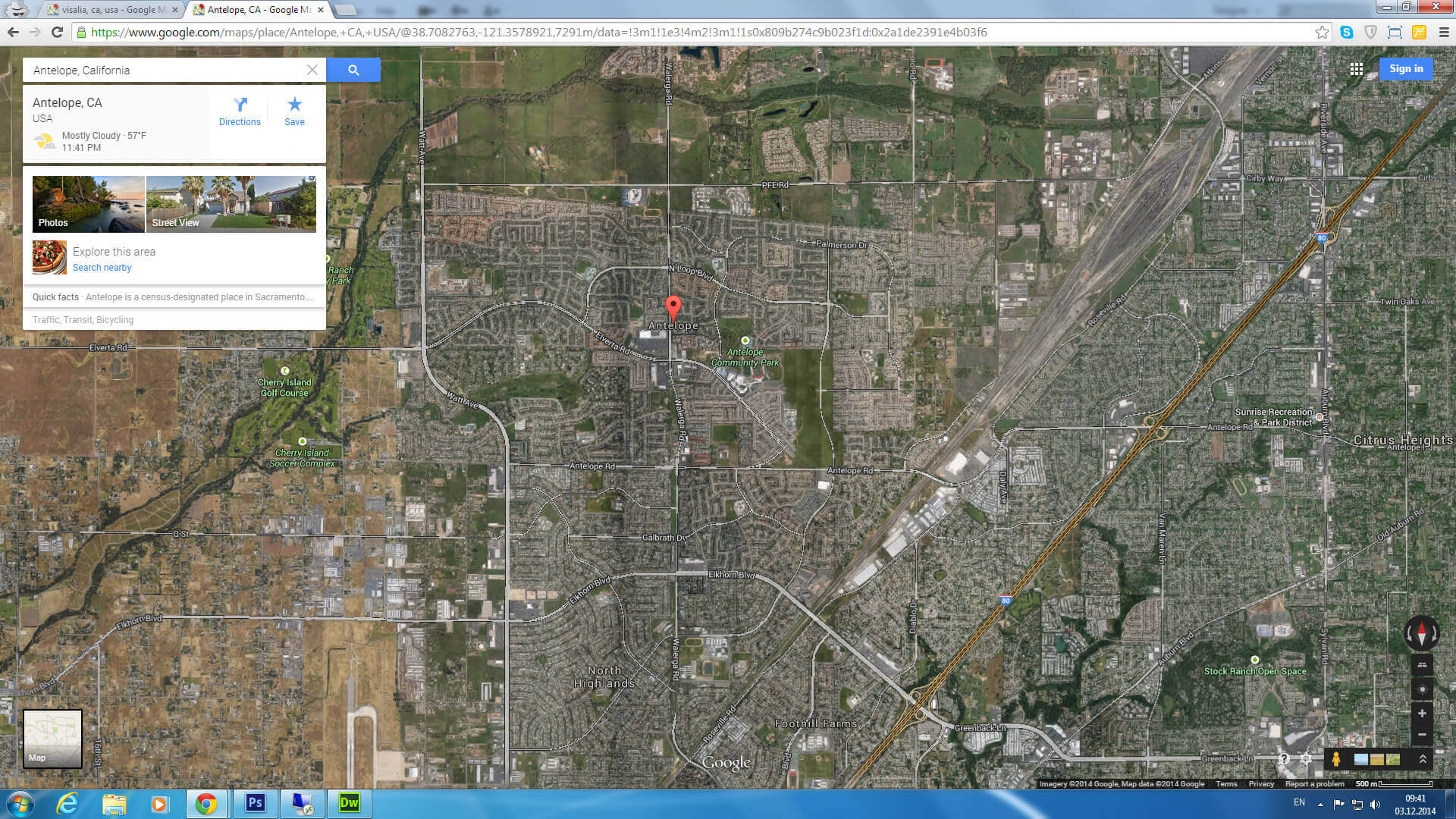
Where is Antelope in the US

Where is Antelope on California Map?
Show Google interaactive map, satellite map, where is the country located.
Get directions by driving, walking, bicycling, public transportation and travel with street view.
Feel free to explore these pages as well:
- Los Angeles Map ↗️
- San Francisco Map ↗️
- San Diego Map ↗️
- Alameda Map ↗️
- Alhambra Map ↗️
- Anaheim Map ↗️
- Antioch Map in California ↗️
- Bakersfield Map in California ↗️
- Orange County Map in California ↗️
- Riverside Map in California ↗️
- California Map ↗️
- California County Map ↗️
- California Physical Map ↗️
- California Road Map ↗️
- California Population Map ↗️
- A Collection of California Maps ↗️
- United States Map ↗️
- North America Map ↗️
