Explore the geography of Great Britain and the British Isles with this detailed United Kingdom Cities Map collection. This page features a printable GB cities map, high-resolution maps of the UK with largest and major cities, and a complete physical and political map of the United Kingdom with cities.
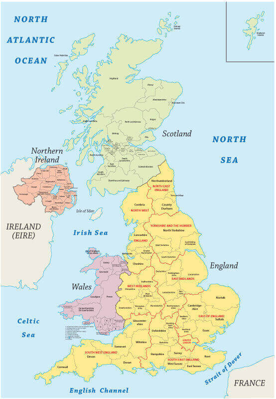
Discover regional divisions through the UK cities regions map with flag, United Kingdom cities map with Scotland and Northern Ireland, and a cities and capital map including Ireland. From road and rail maps to a United Kingdom provinces and cities map, these visual tools are perfect for travelers, educators, and researchers interested in the main cities and urban structure of the UK.
Road Map of the United Kingdom with Major Cities and Regional Routes
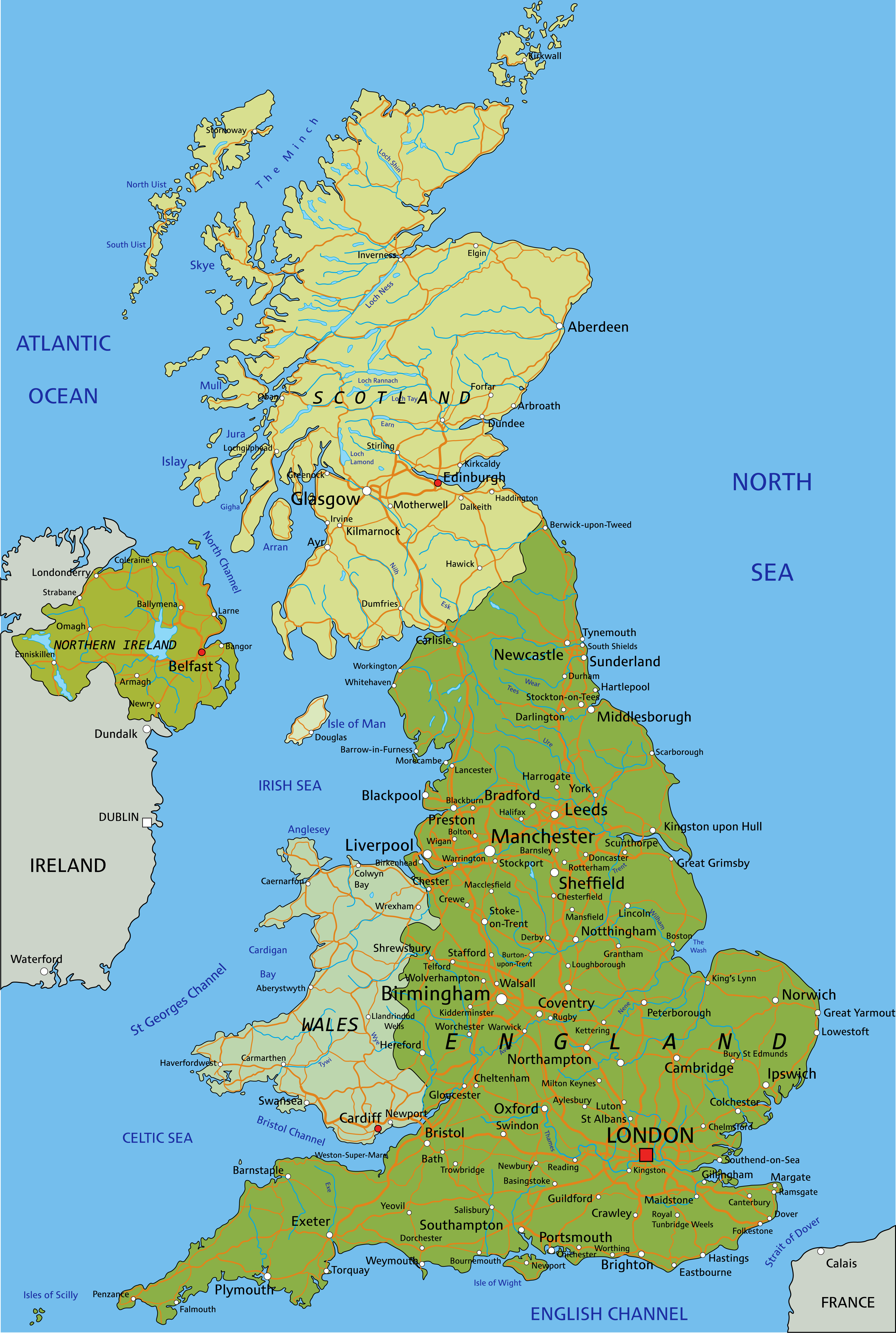 Road map of UK with major cities, highways, rivers and regional connections.
United Kingdom cities map with Scotland Northern Ireland
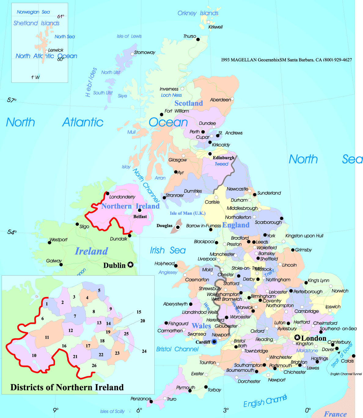
United Kingdom main cities map

GB cities printable map United Kingdom
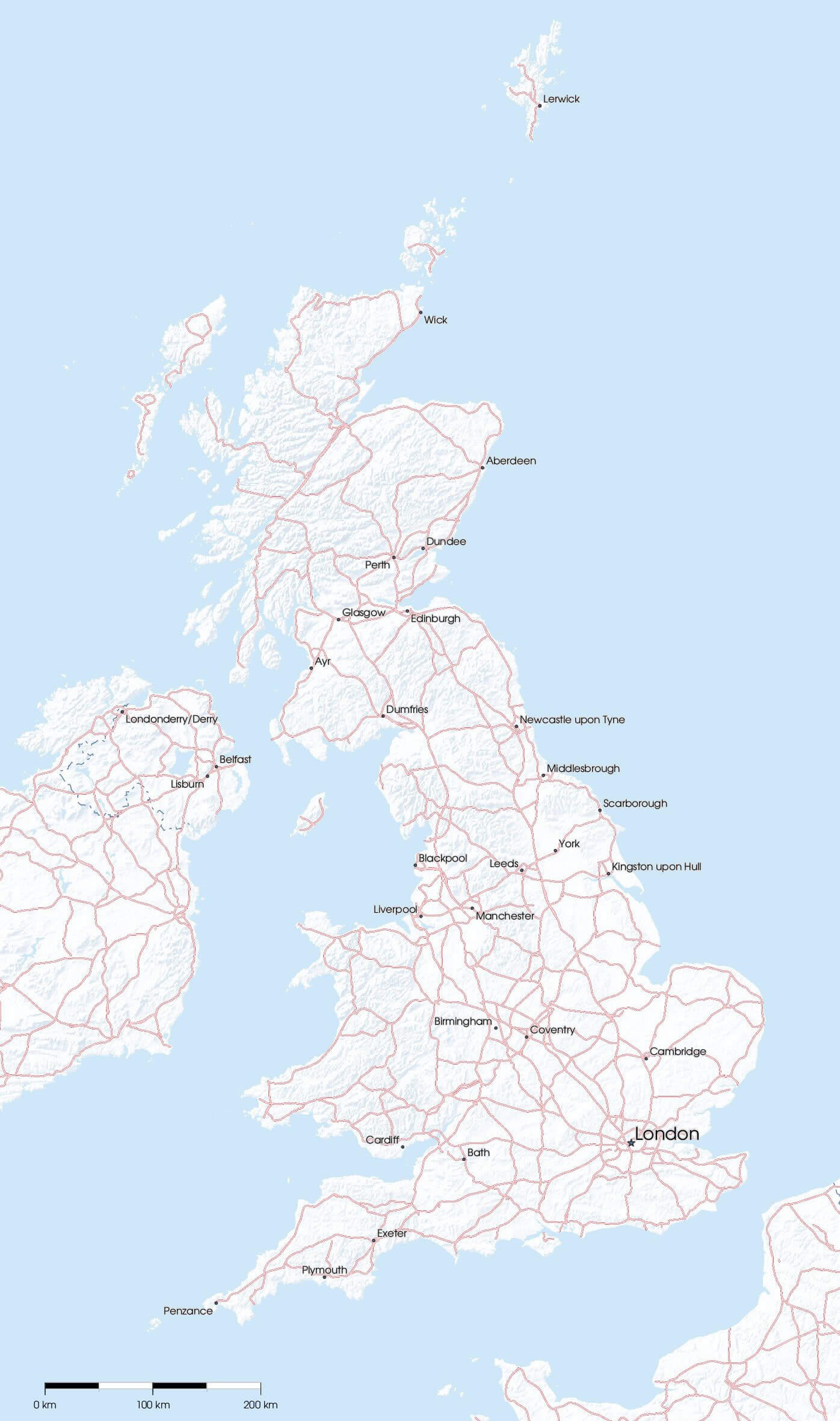
Map of United Kingdom with cities
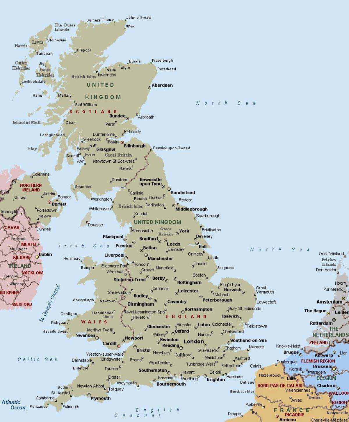
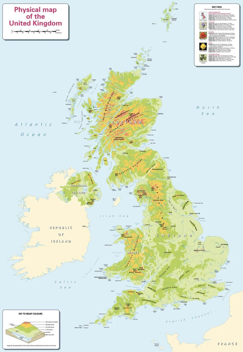
Physical map of United Kingdom with cities
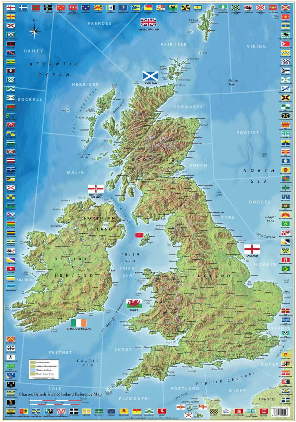
United Kingdom British isles and Ireland map with cities
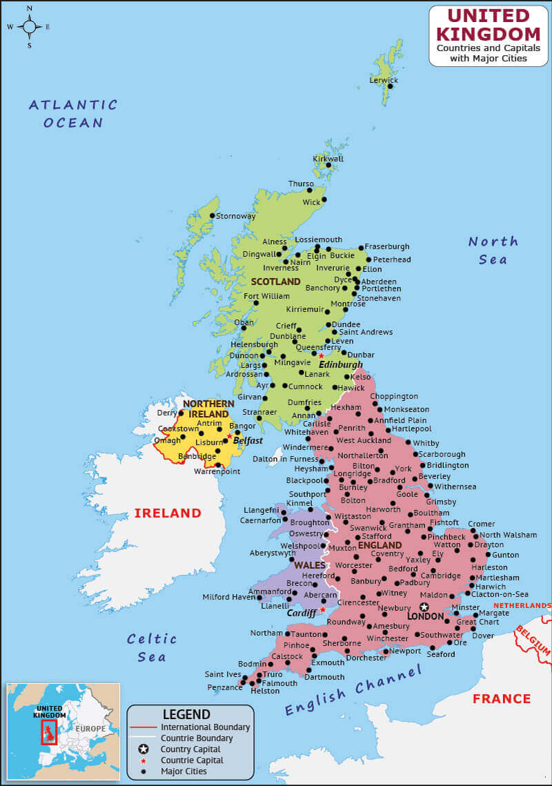
United Kingdom cities and capital map
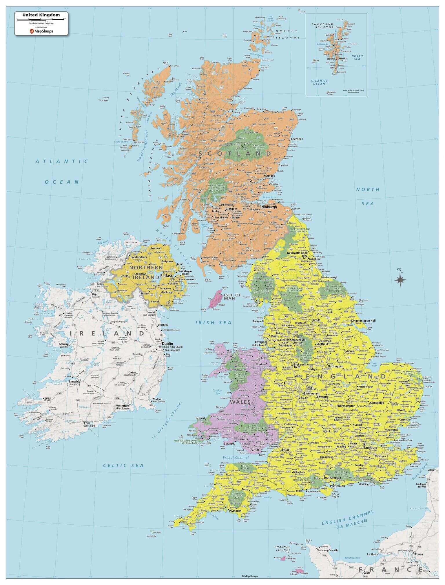
United Kingdom cities and political map
United Kingdom cities map with British isles
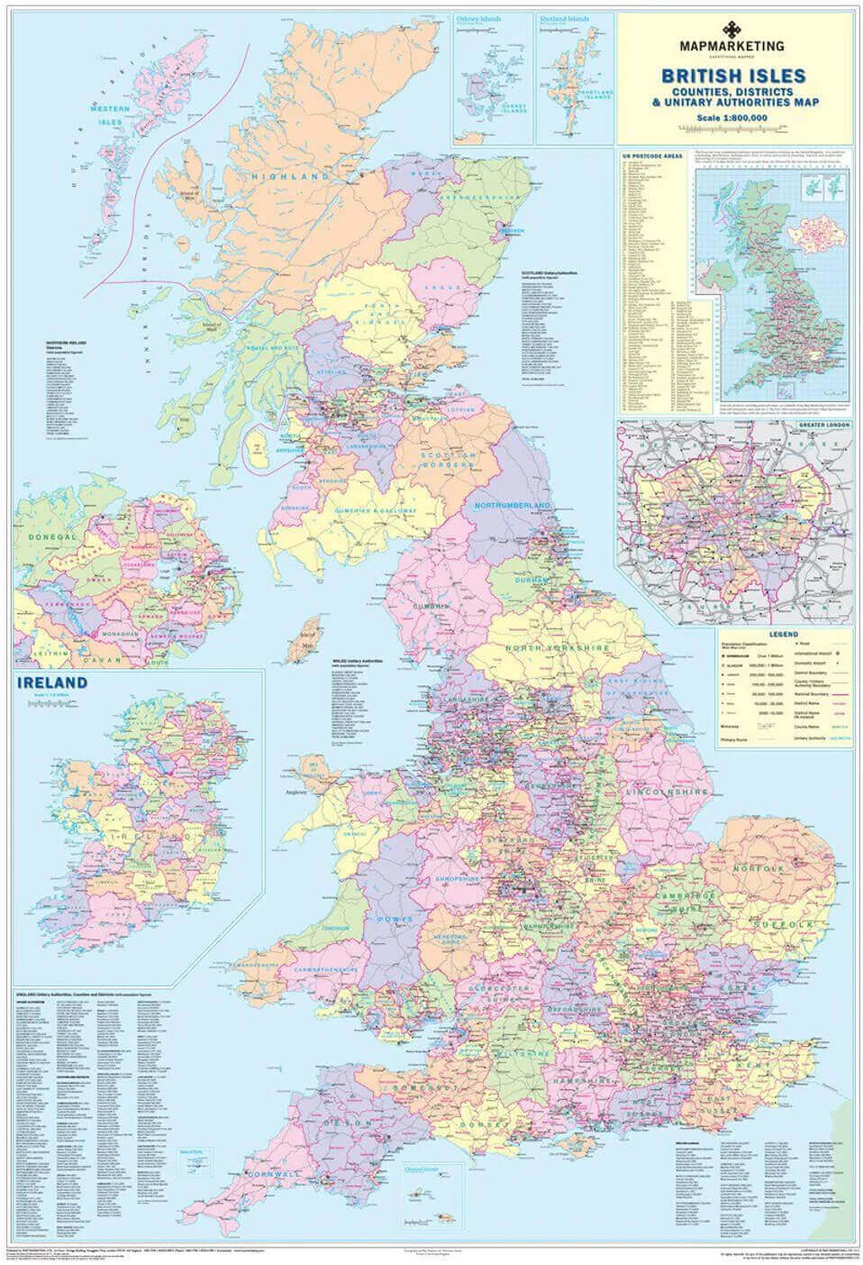
United Kingdom cities map with Scotland
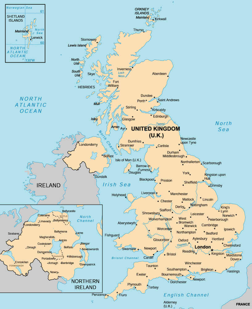
United Kingdom cities political map

United Kingdom cities regions map with flag
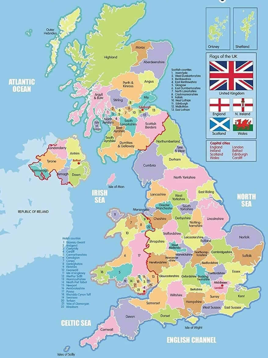
United Kingdom cities regions map with Ireland
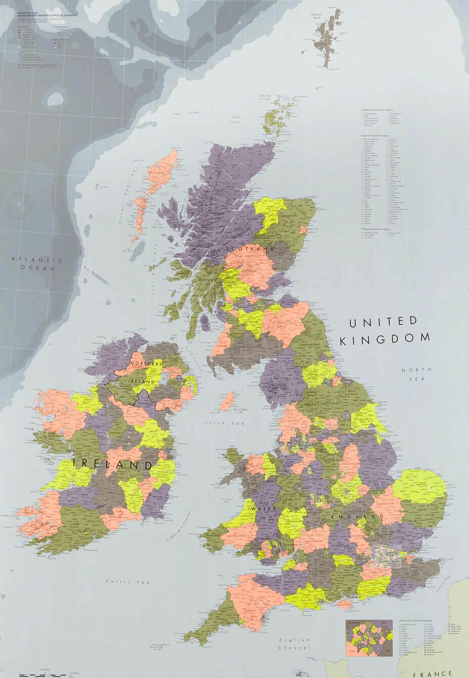
United Kingdom high resolution largest cities map
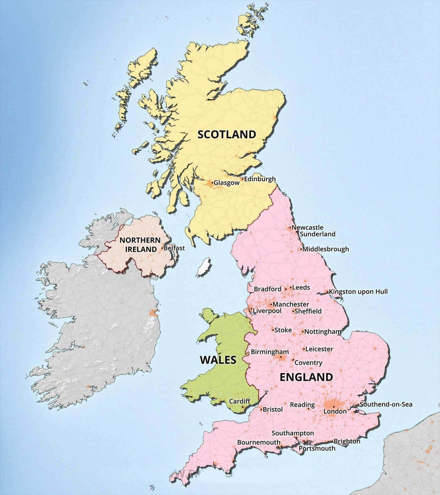
United Kingdom major cities map
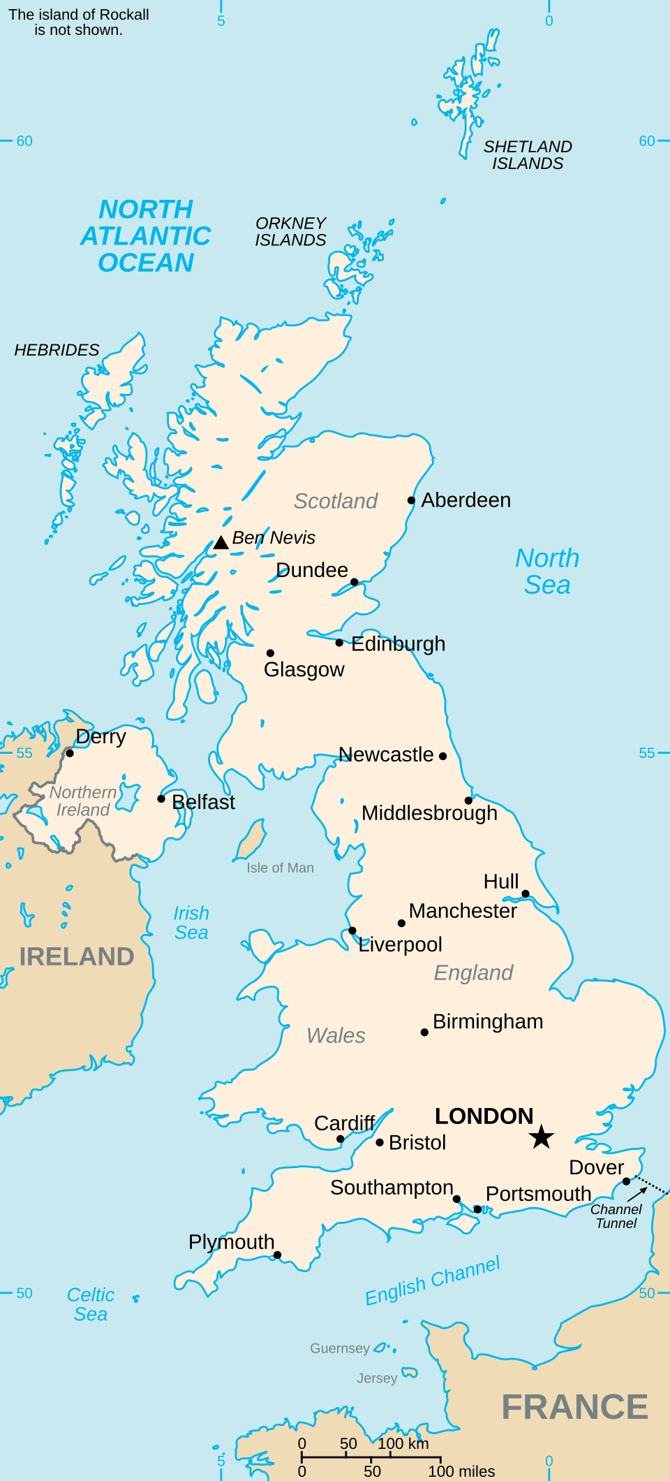
United Kingdom provinces and cities map with Ireland
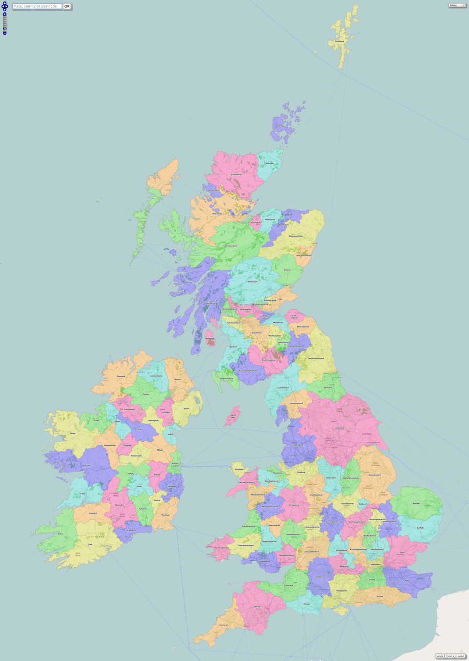
United Kingdom rail map with cities
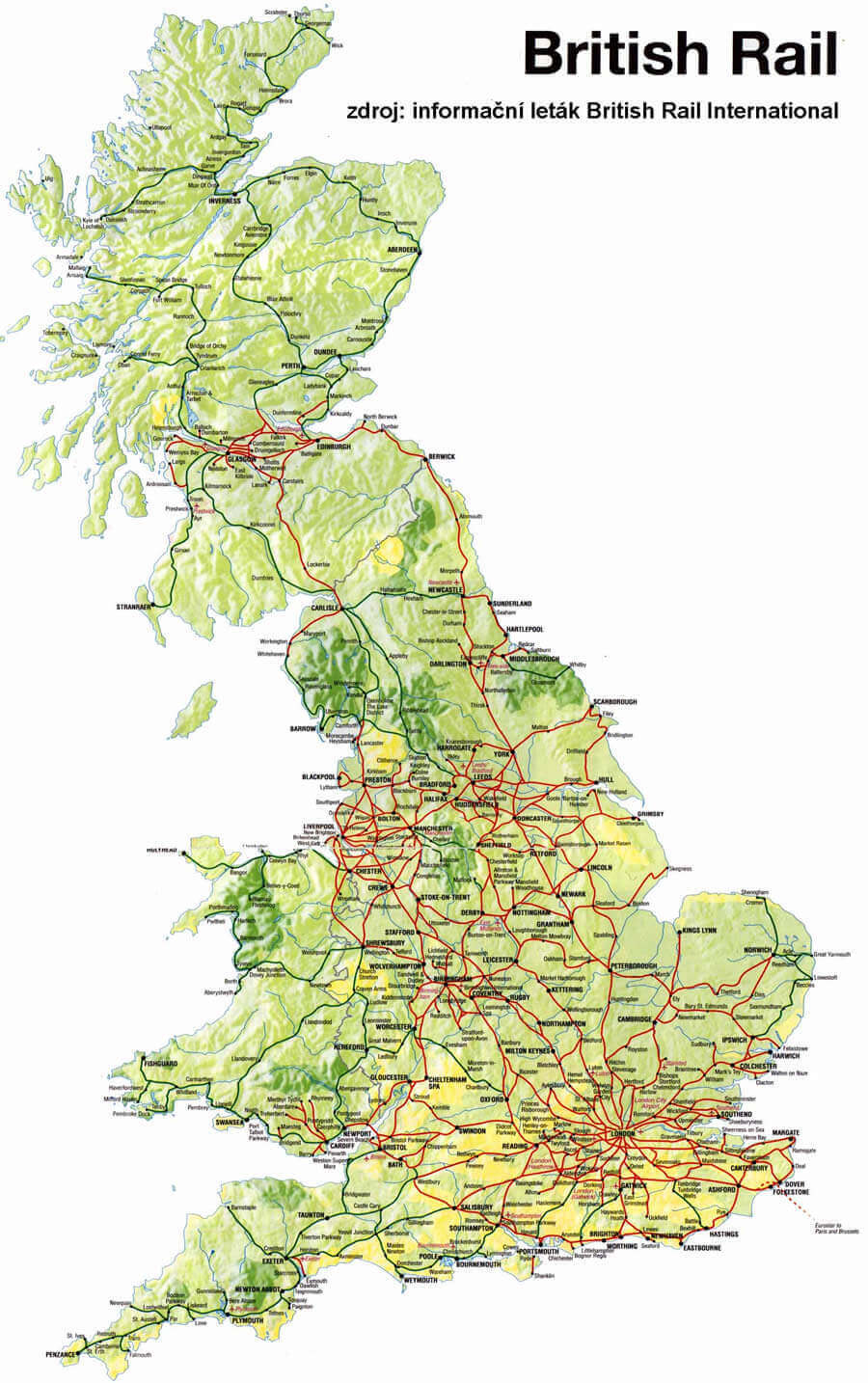
United Kingdom reginal major cities map
Where is UK on the Europe Map?
Show Google Maps and satellite maps of where the country is located.
Get directions by driving, walking, bicycling, public transportation, and travel with street view.
Feel free to explore these pages as well:
- UK Cities Map ↗️
- A Collection of United Kingdom Maps ↗️
- Map of United Kingdom ↗️
- United Kingdom Map ↗️
- UK Time Zone Map ↗️
- England Map ↗️
- England Cities Map ↗️
- Discovering Cardiff: A Gem in the Heart of Wales ↗️
- Birmingham Unveiled: The Heart of England’s Hidden Gems ↗️
- Discovering Belfast: The Northern Gem of the UK ↗️
- Bradford, United Kingdom: A Vibrant Tapestry of Culture and History ↗️
- Scotland Map ↗️
- Wales Map ↗️
- Isle of Man Map ↗️
- United States Map ↗️
- France Map ↗️
- Canada Map ↗️
