Discover the geography of the United Kingdom with this detailed UK Cities Map collection, featuring a variety of visual resources including a physical map of the UK with cities, political map of the UK with cities, and UK cities map with highways, regions, and borders. Explore England, Wales, Scotland, and Northern Ireland with clearly marked main towns and cities, UK metro cities, and tourism highlights.
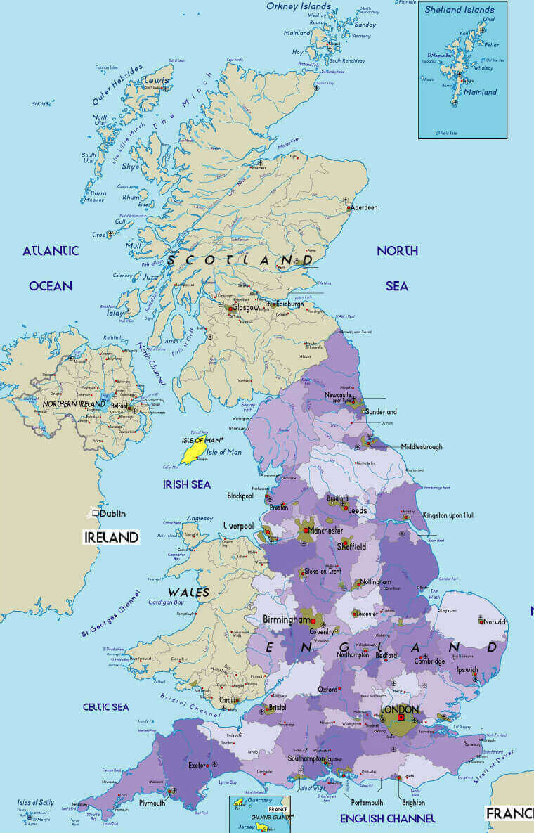
Political Map of the United Kingdom with Major Cities and Boundaries
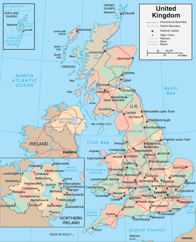 Political map of UK with cities, borders, rivers, roads and regional labels.
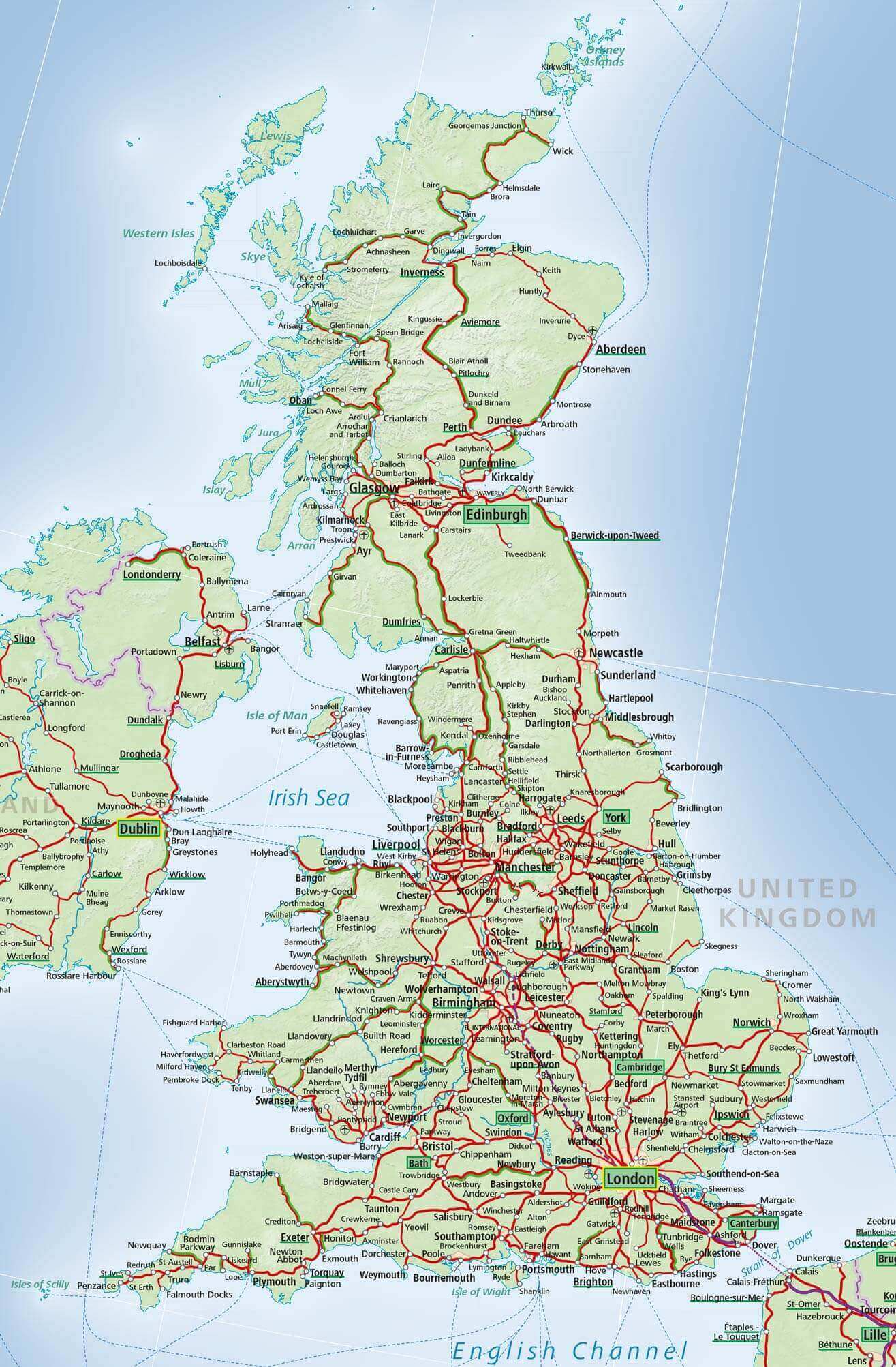
This guide includes a UK main road map, UK major cities railroad map, and regional breakdowns such as the UK cities map with Wales, UK cities map with Northern Ireland, and even creative views like the UK and Ireland song map with cities. Whether you’re looking for a UK landlords map, physical map with main cities, or a UK regions and cities map, this page brings all the essential data together for travelers, students, and researchers alike.
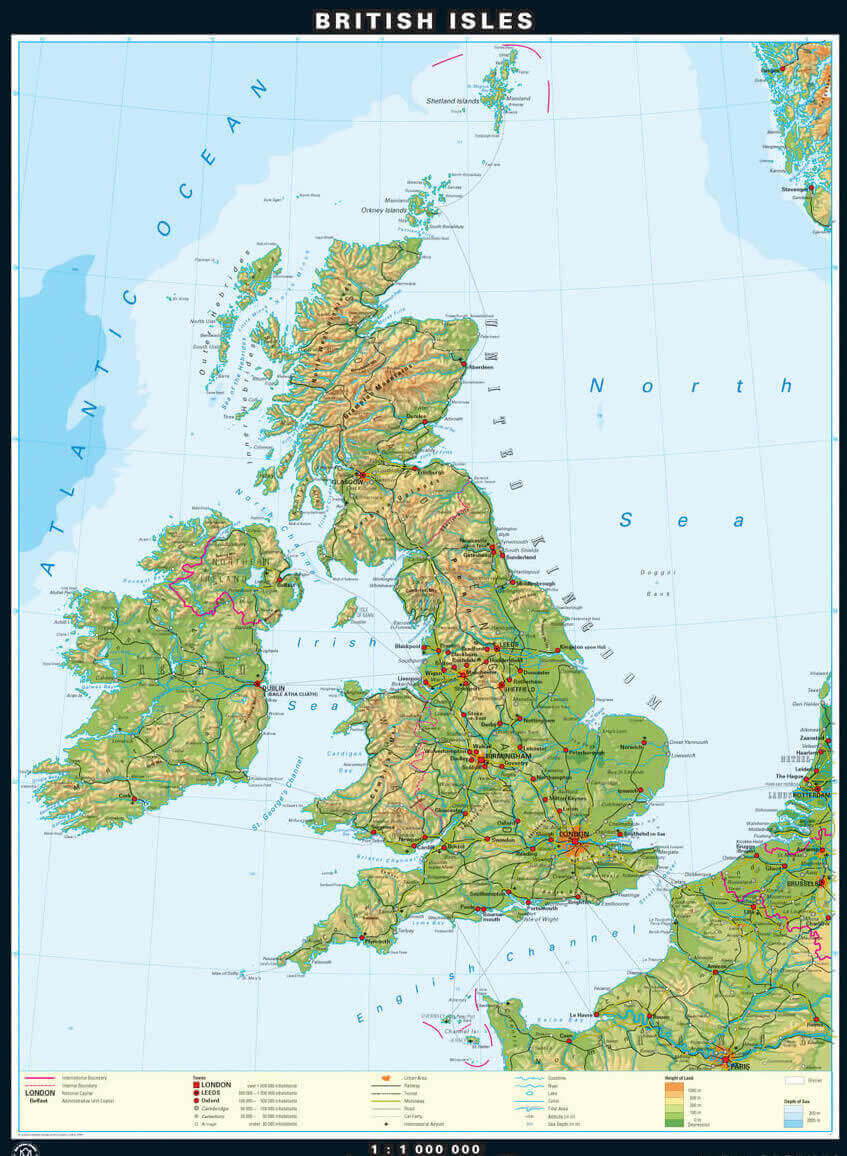
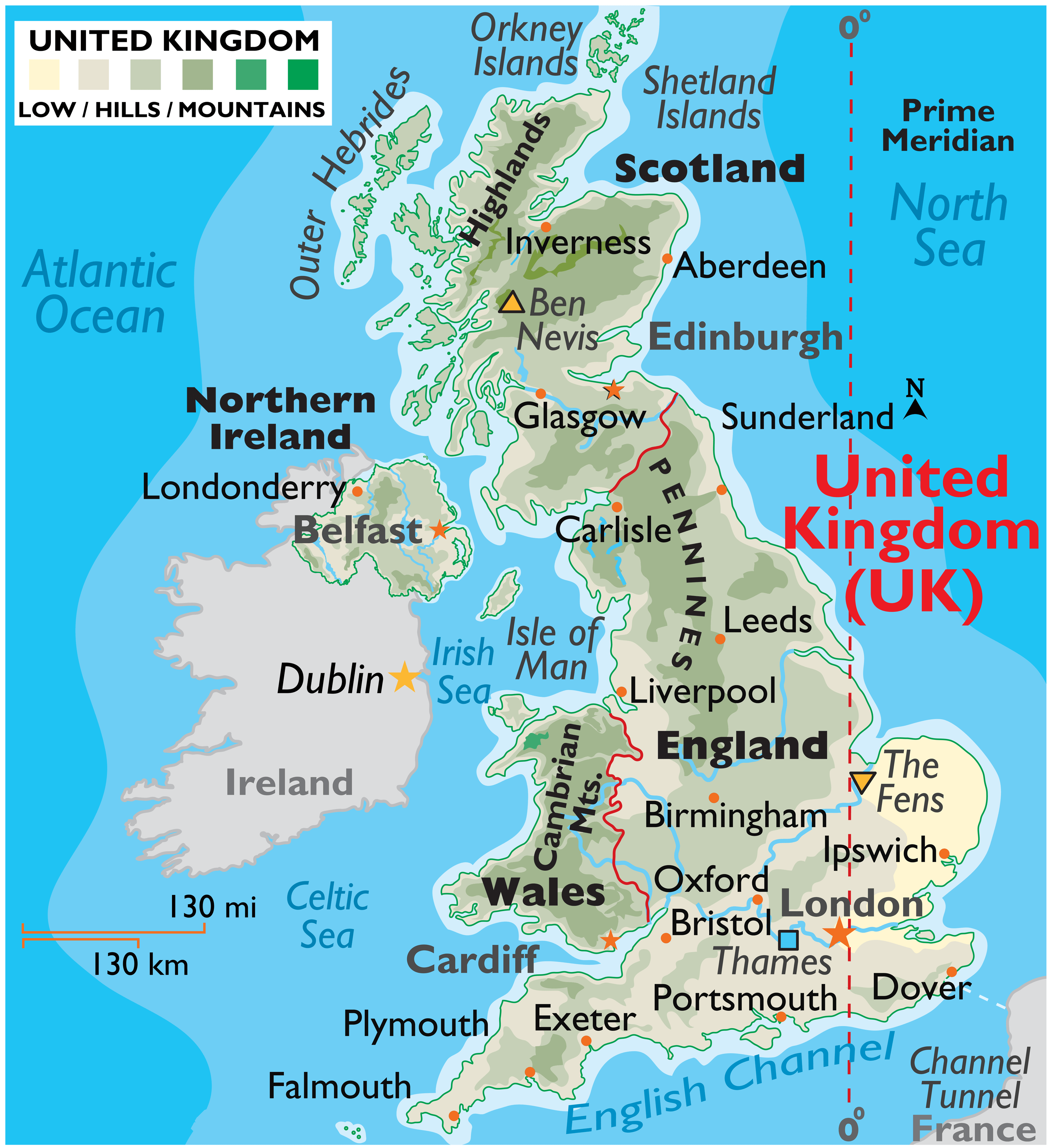
Physical map of UK with cities
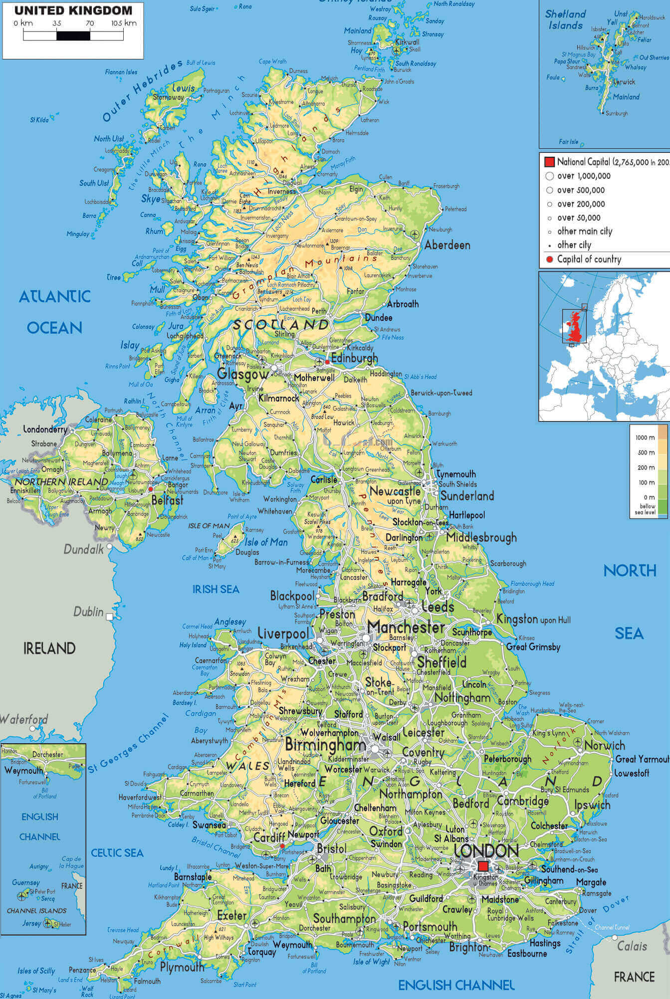
UK cities map
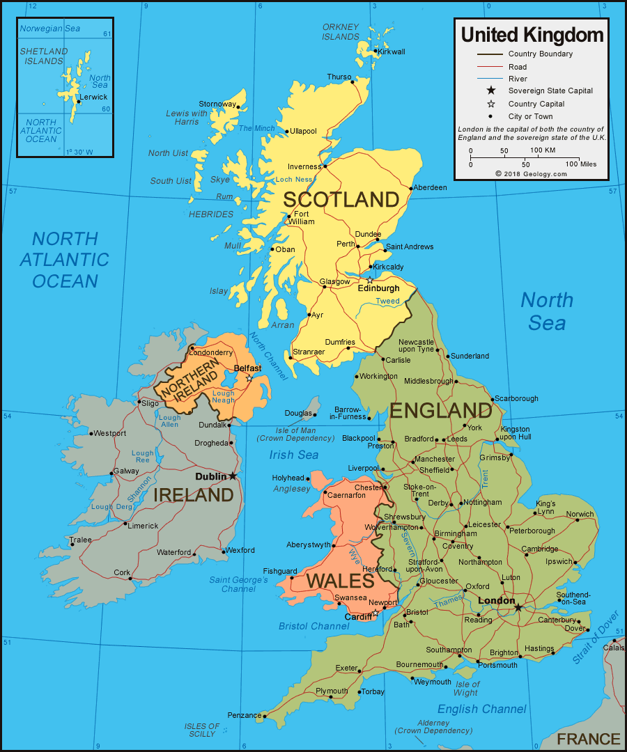
Cities map of UK with surrounding borders
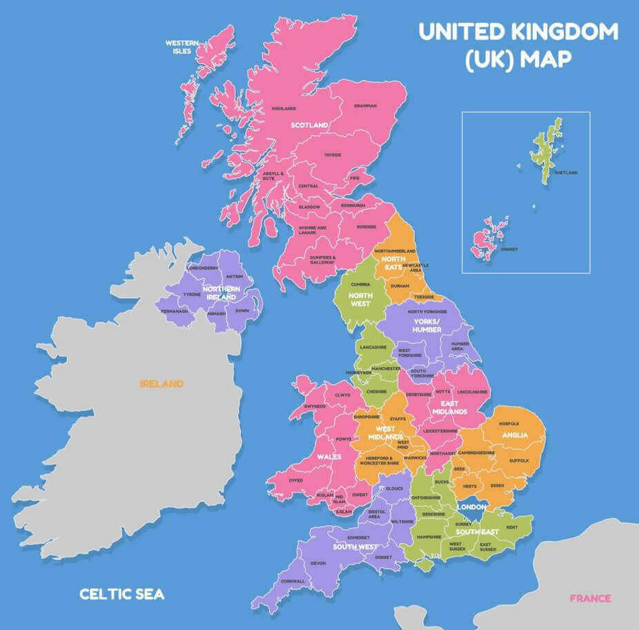
Physical map of UK metro cities
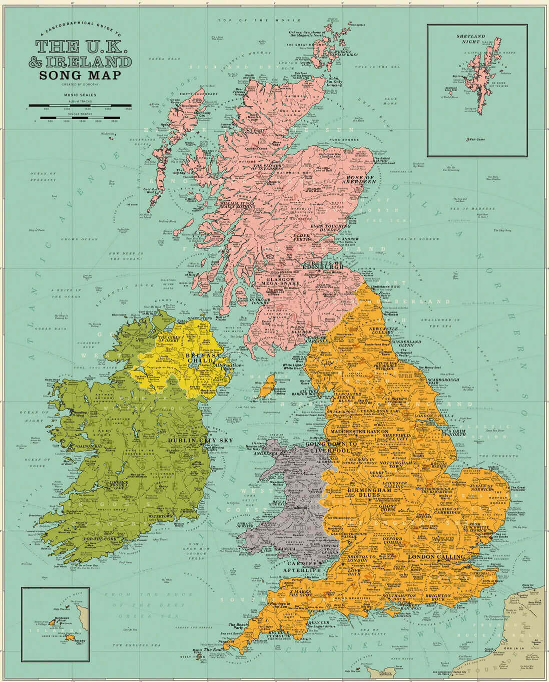
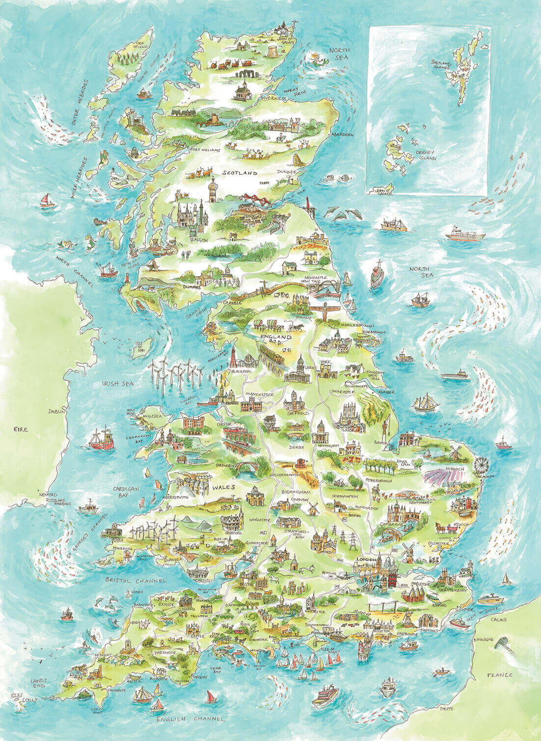
The UK and ireland song map with cities
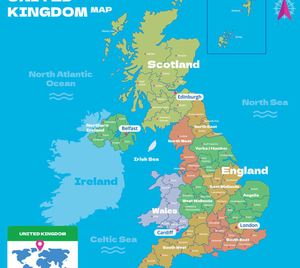
UK cities and regions map with England
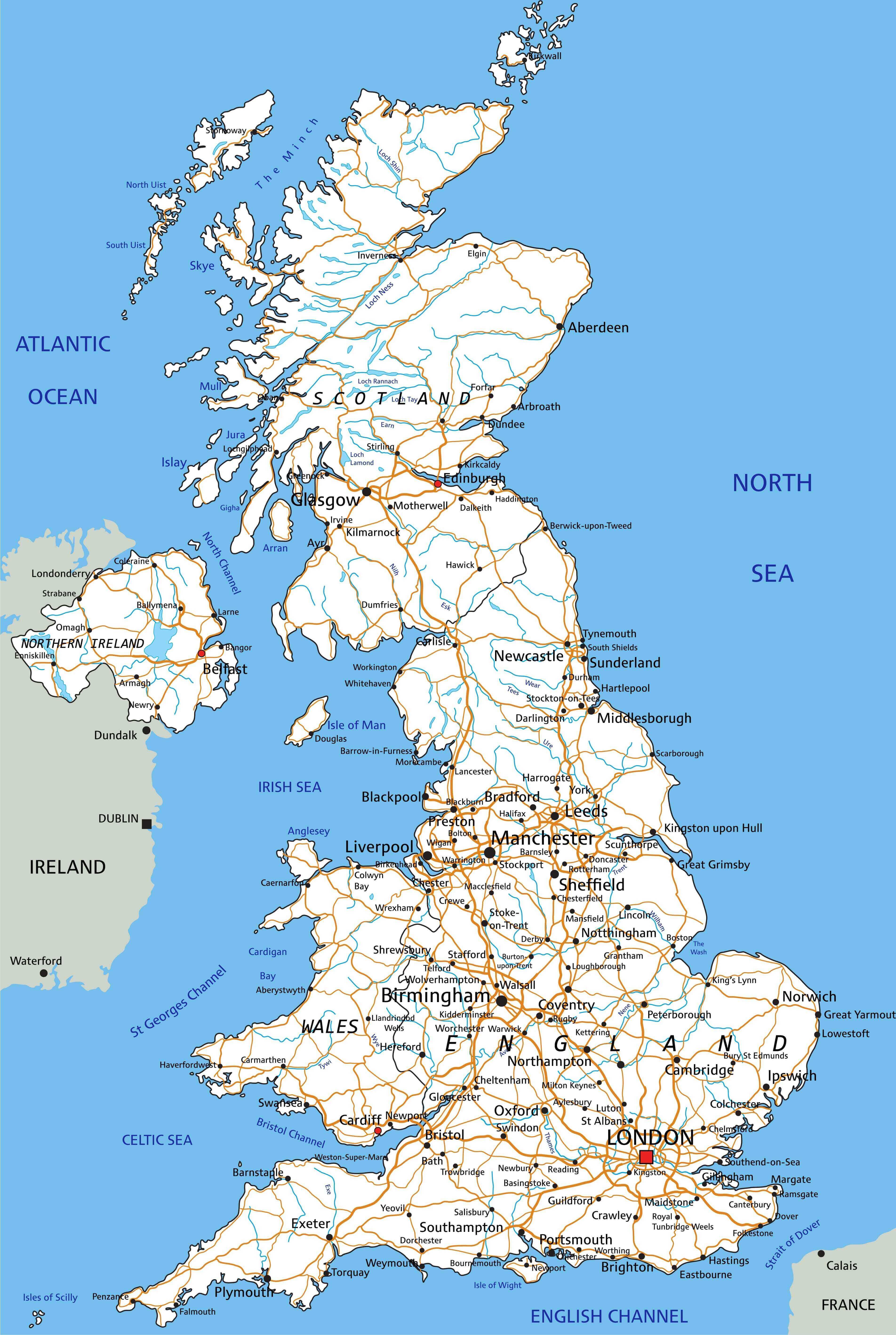
UK cities map with highways
UK cities map with Wales
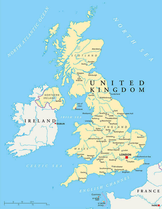
UK cities physical map
UK landlords map with cities
UK main road map
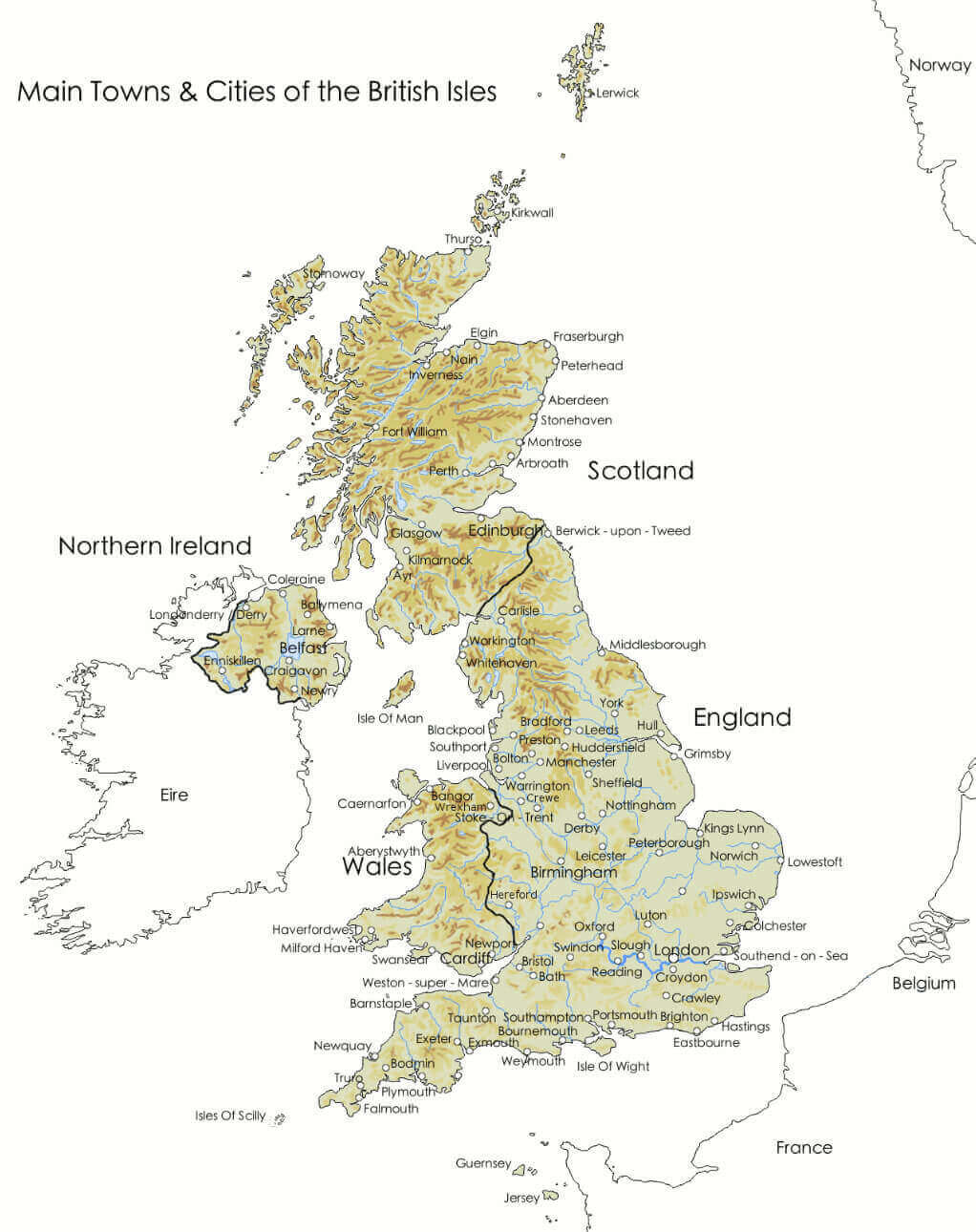
UK main towns and cities map with British isles
UK major cities railrod map
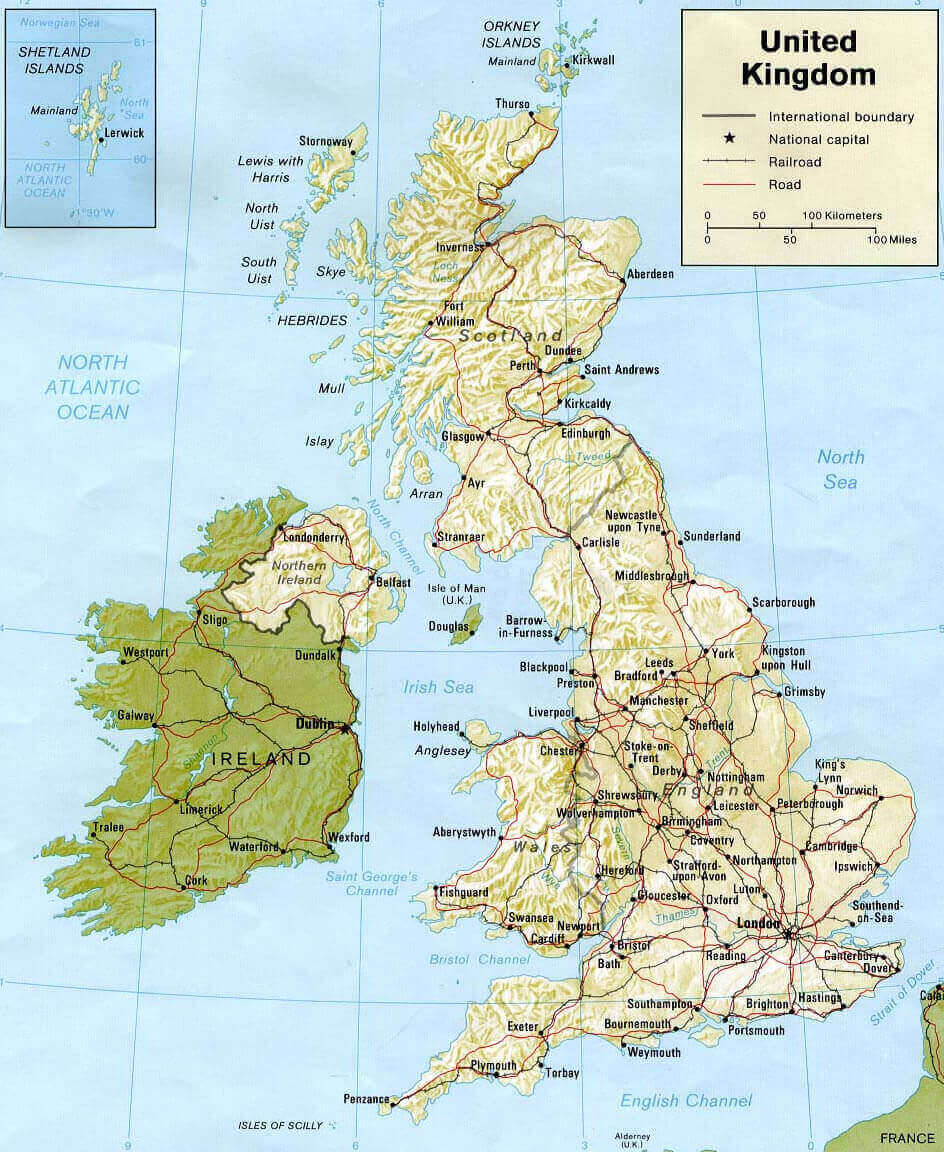
UK physical map with cities
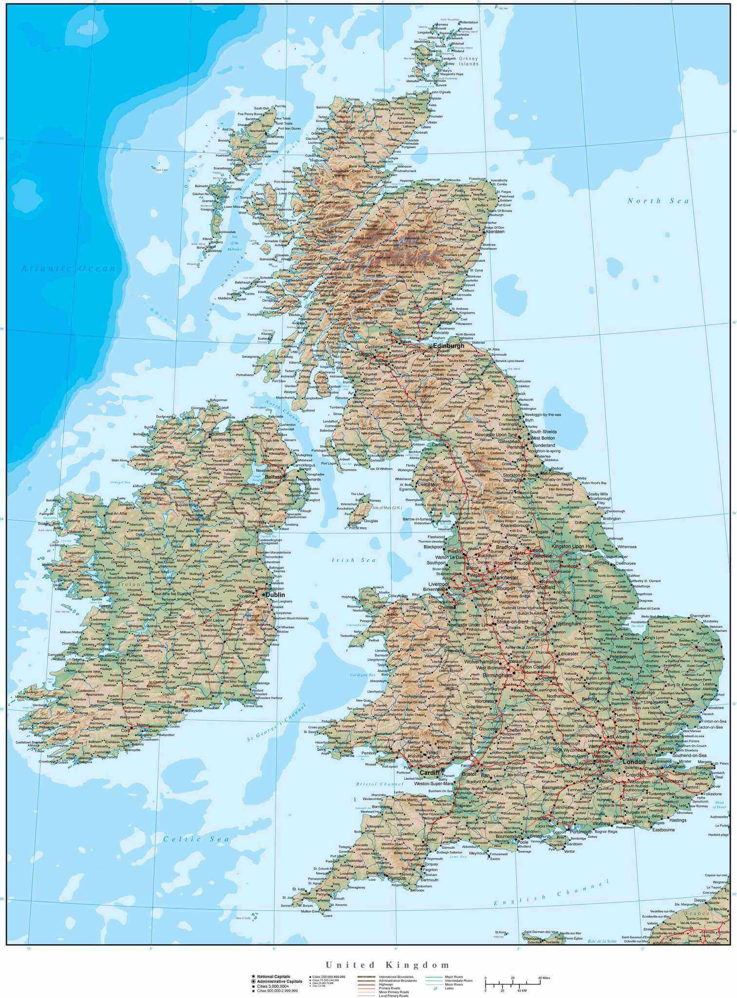
UK physical map with main cities
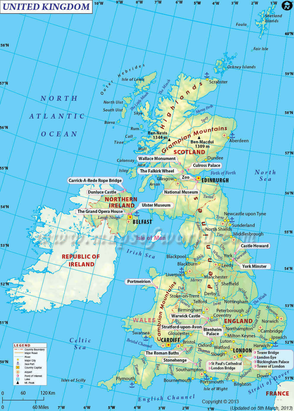
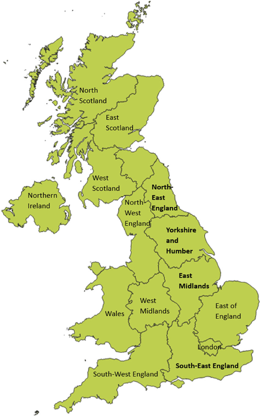
UK regions and cities map with Northern Ireland
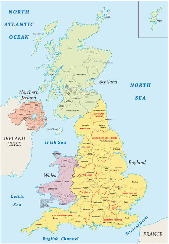
UK regions map
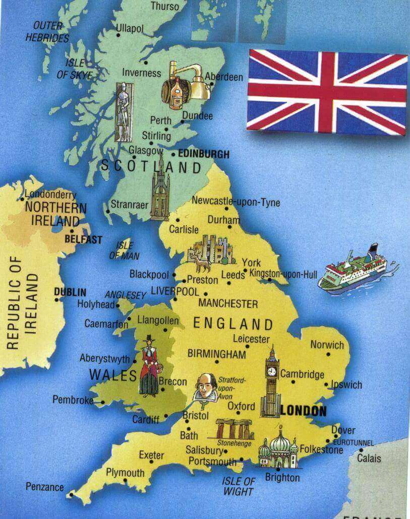
UK tourism map with cities
United Kingdom cities map Northern Ireland
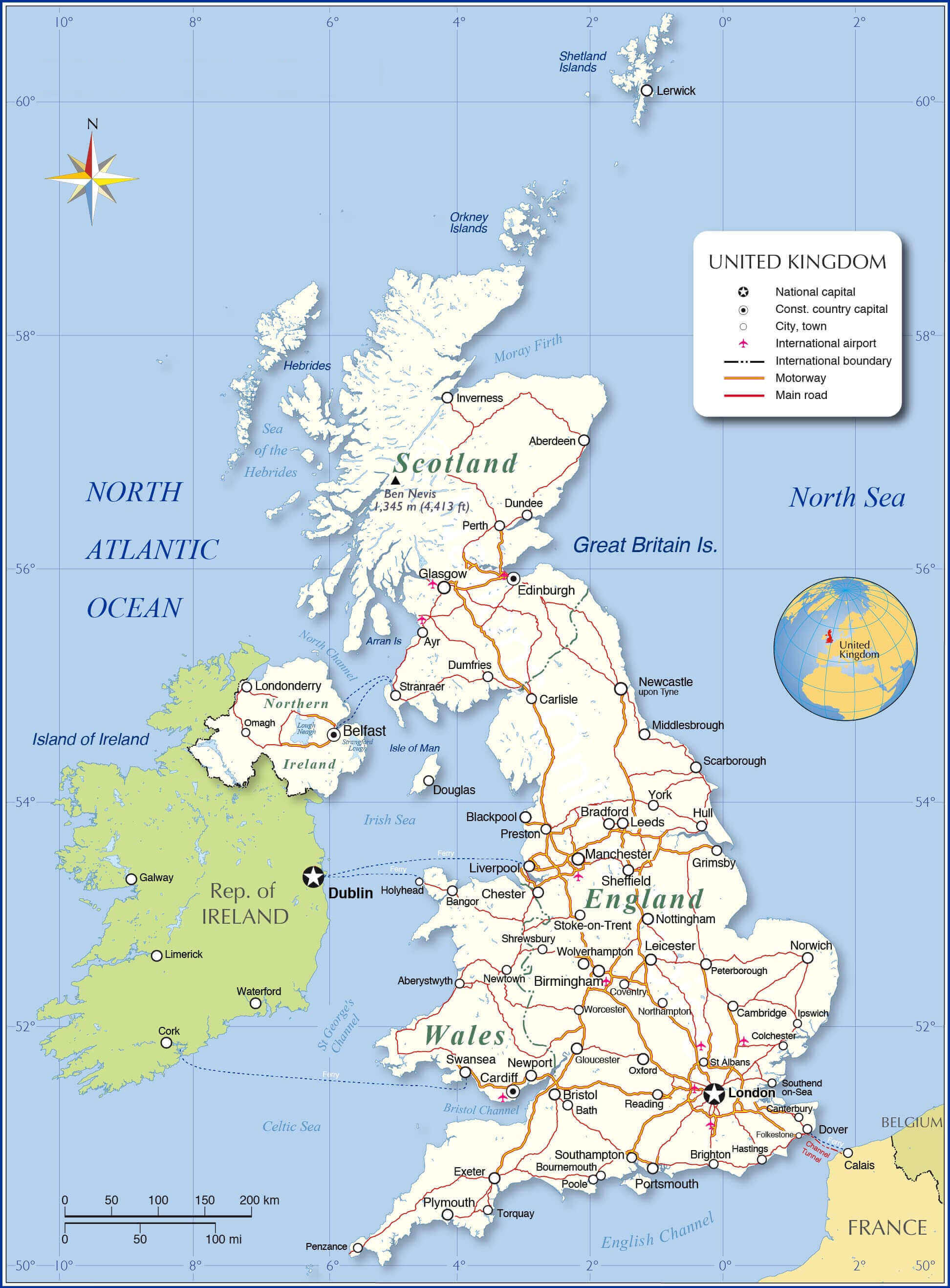
United Kingdom cities map with Wales and Scotland
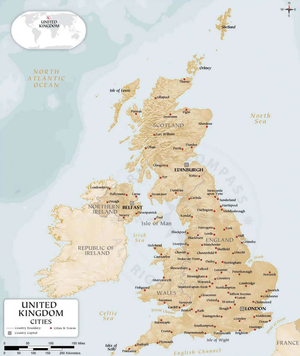
United Kingdom cities map
Where is United Kingdom on the Europe Map?
Show Google Maps and satellite maps of where the country is located.
Get directions by driving, walking, bicycling, public transportation, and travel with street view.
Feel free to explore these pages as well:
- United Kingdom Cities Map ↗️
- A Collection of United Kingdom Maps ↗️
- Map of United Kingdom ↗️
- United Kingdom Map ↗️
- UK Time Zone Map ↗️
- England Map ↗️
- England Cities Map ↗️
- Discovering Cardiff: A Gem in the Heart of Wales ↗️
- Birmingham Unveiled: The Heart of England’s Hidden Gems ↗️
- Discovering Belfast: The Northern Gem of the UK ↗️
- Bradford, United Kingdom: A Vibrant Tapestry of Culture and History ↗️
- Scotland Map ↗️
- Wales Map ↗️
- Isle of Man Map ↗️
- United States Map ↗️
- France Map ↗️
- Canada Map ↗️
