- Advertisement -
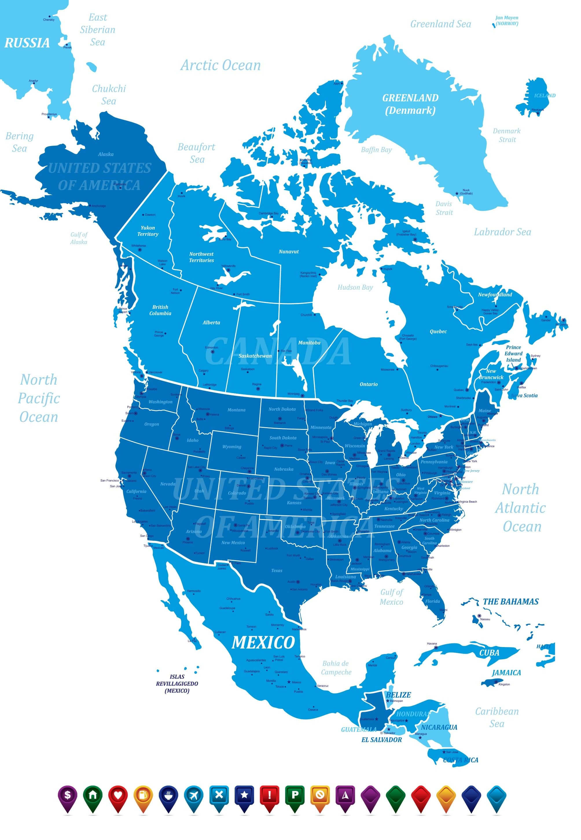
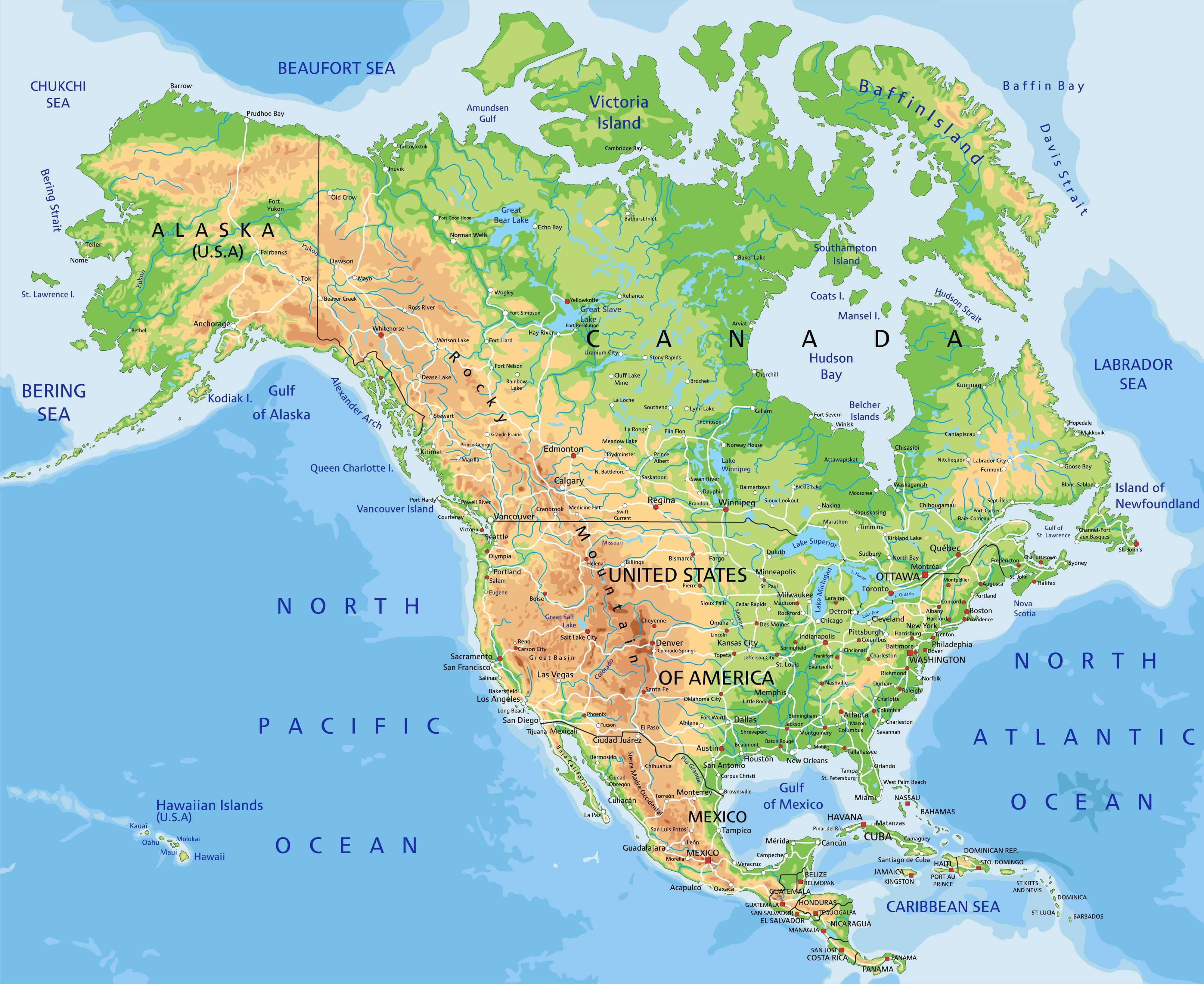
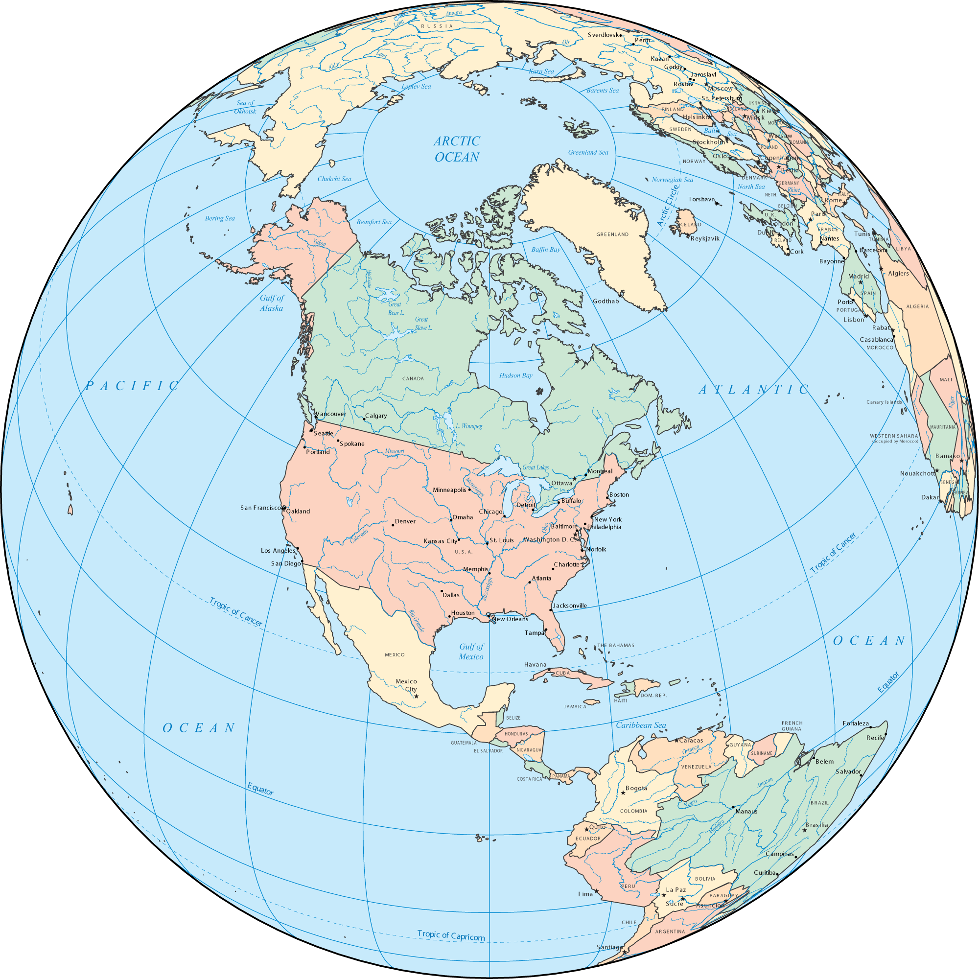
A collection of North America Maps; View a variety of North America physical, political, administrative, relief map, North America satellite image, higly detalied maps, blank map, North America world and earth map, North America’s regions, topography, cities, road, direction maps and atlas.
North America Political Map
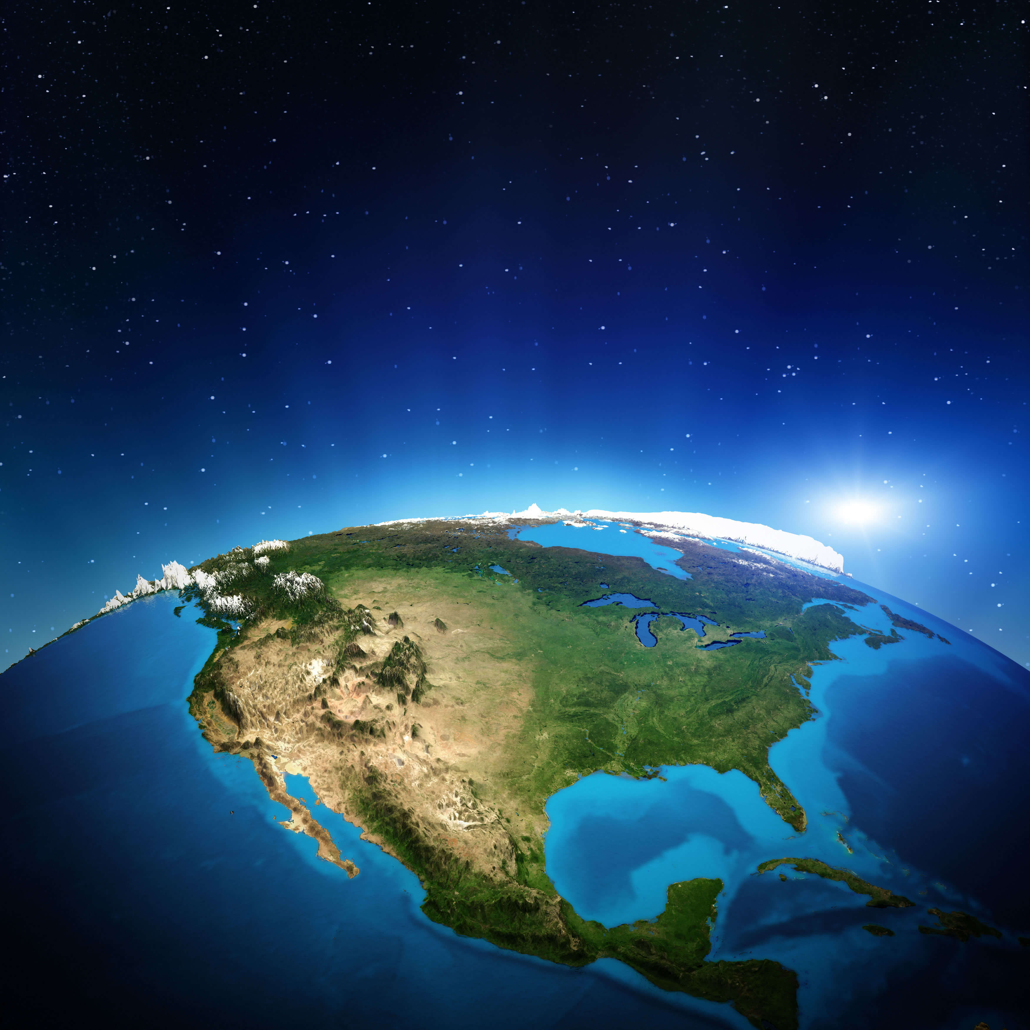
North America from Space
North America Map

Map of North America
Countries in North America Map
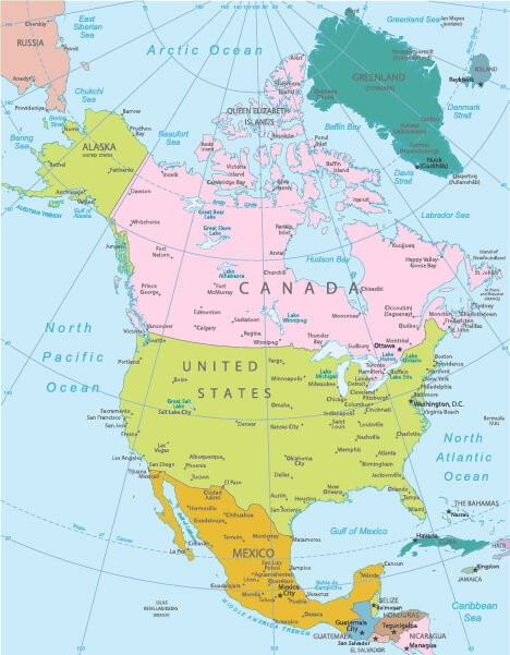
Political map of North America
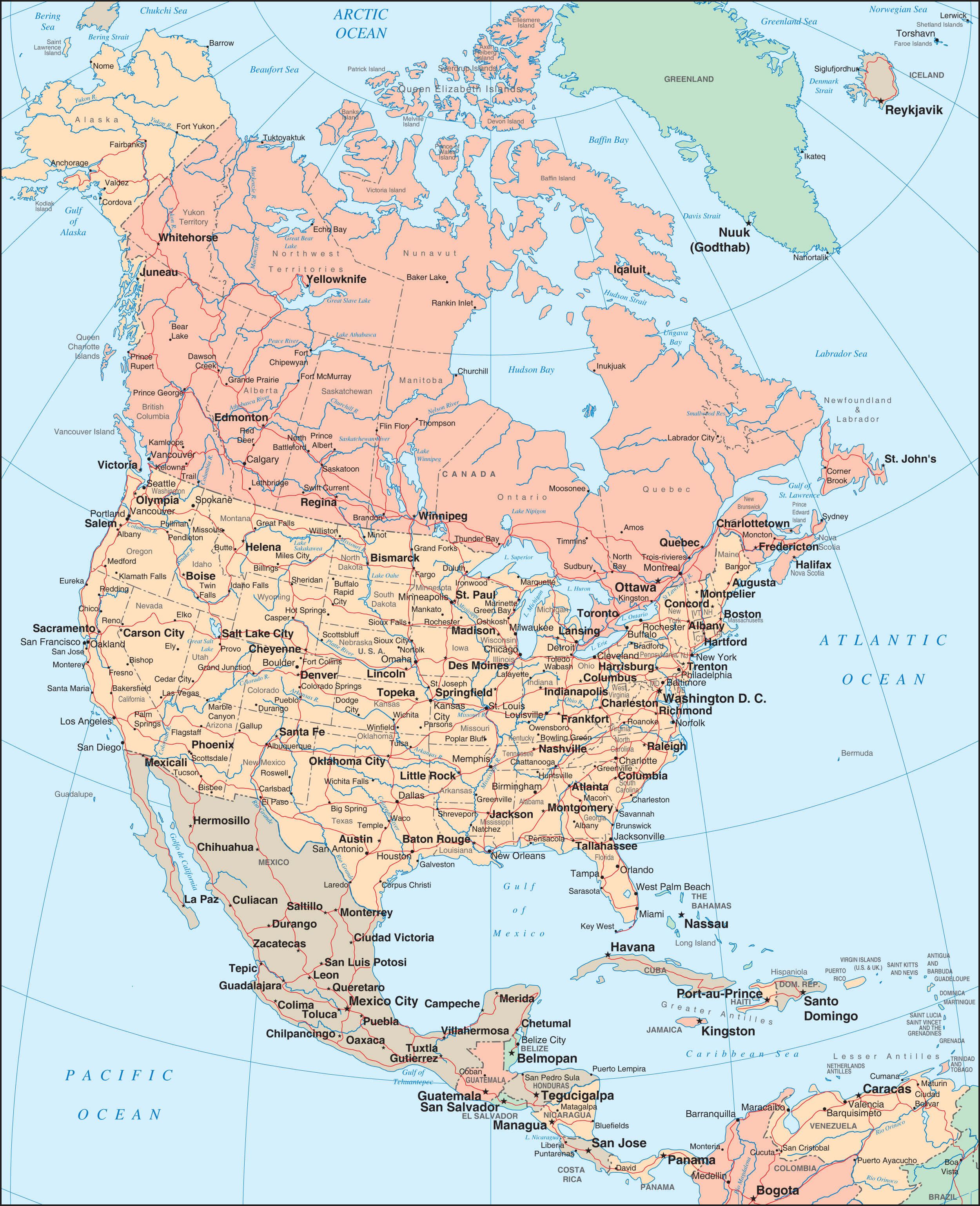
North America countries and cities map
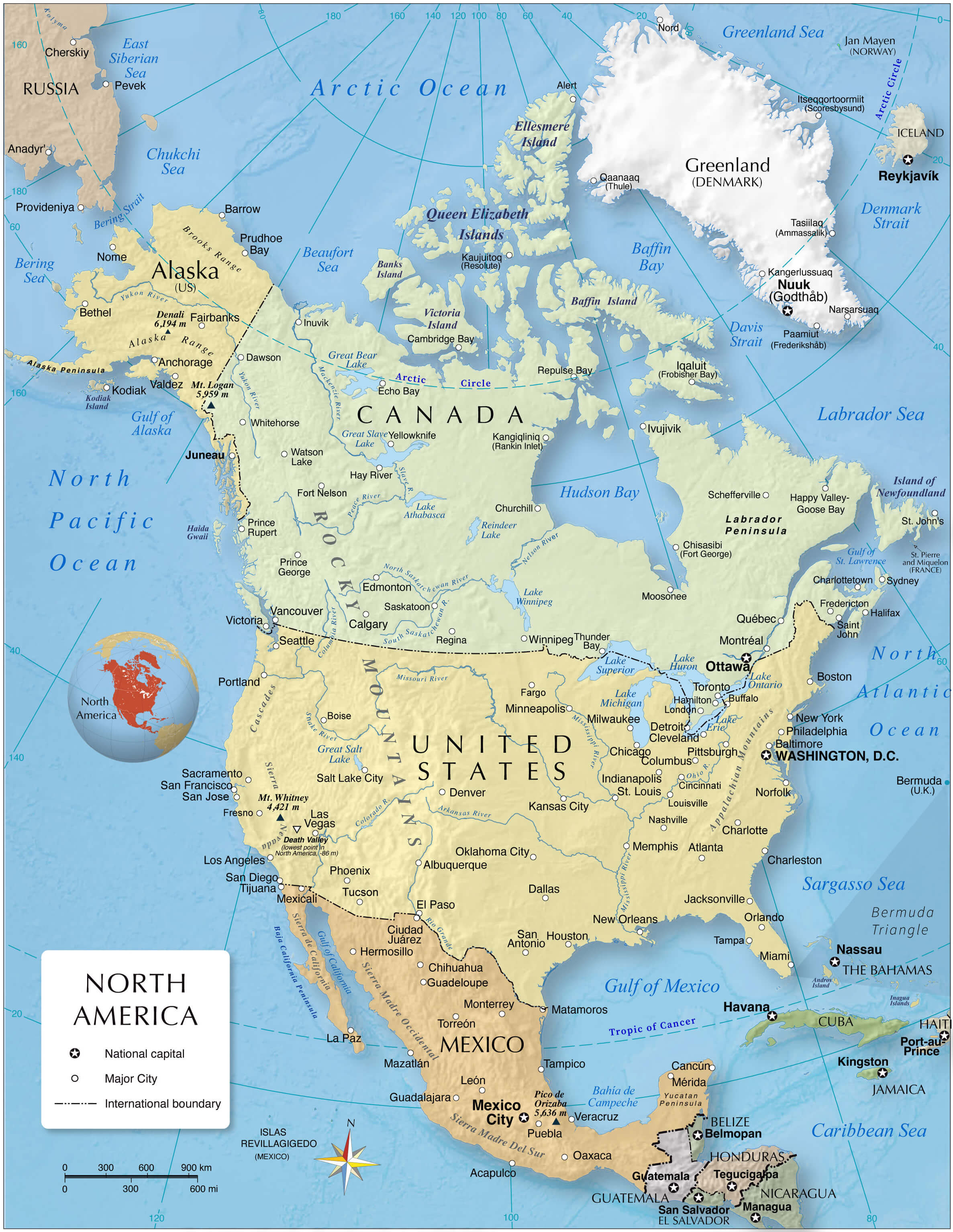
Political map of North America with relief roads and major cities
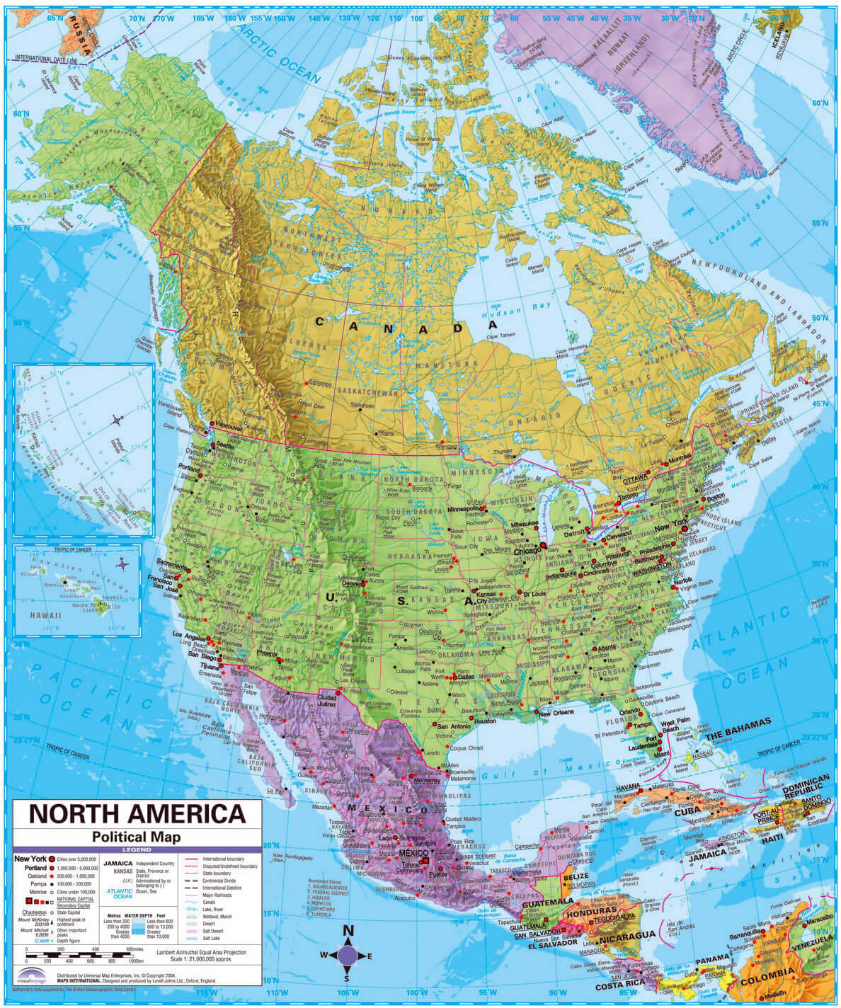
Souhern North America physical map
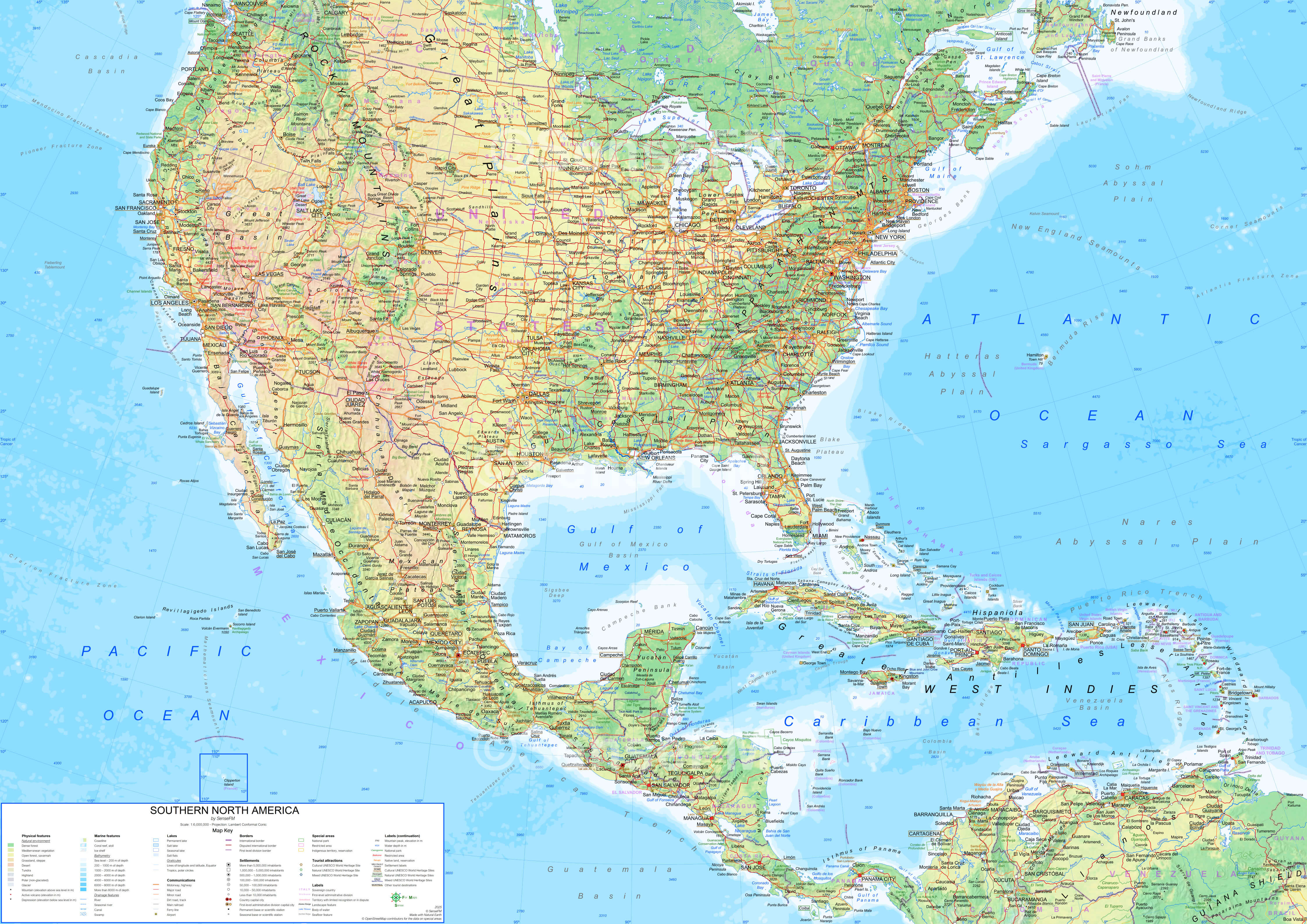
North America political map with the world
For More Map of North America
Where is North America on the World Map?
Show Google map, satellite map, where is the country located.
Get direction by driving, walking, bicycling, public transportaion and travel with street view.
Feel free to explore US states maps:
- Map of North America ↗️
- North America Cities Map ↗️
- North America High-resolution Map ↗️
- North America Maps ↗️
- North America Time Zones with Cities & States ↗️
- Map North America ↗️
- North America ↗️
- A Collection of North America Maps ↗️
- Political Map of North America ↗️
- Physical Map of North America ↗️
- North America Satellite Map ↗️
- North America Earth Map ↗️
- North America Historical Map ↗️
- Greenland Map ↗️
- Advertisement -
