- Advertisement -
A collection of Utah Maps; View a variety of Utah physical, united states political map, administrative, relief map, Utah satellite image, higly detalied maps, blank map, Utah USA and earth map, Utah’s regions, topography, cities, road, United States of America direction maps and US atlas.
Utah State Map
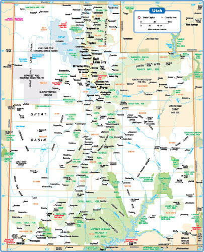
Utah State Map with main cities and towns, United States.
Satellite Map of USA, Utah
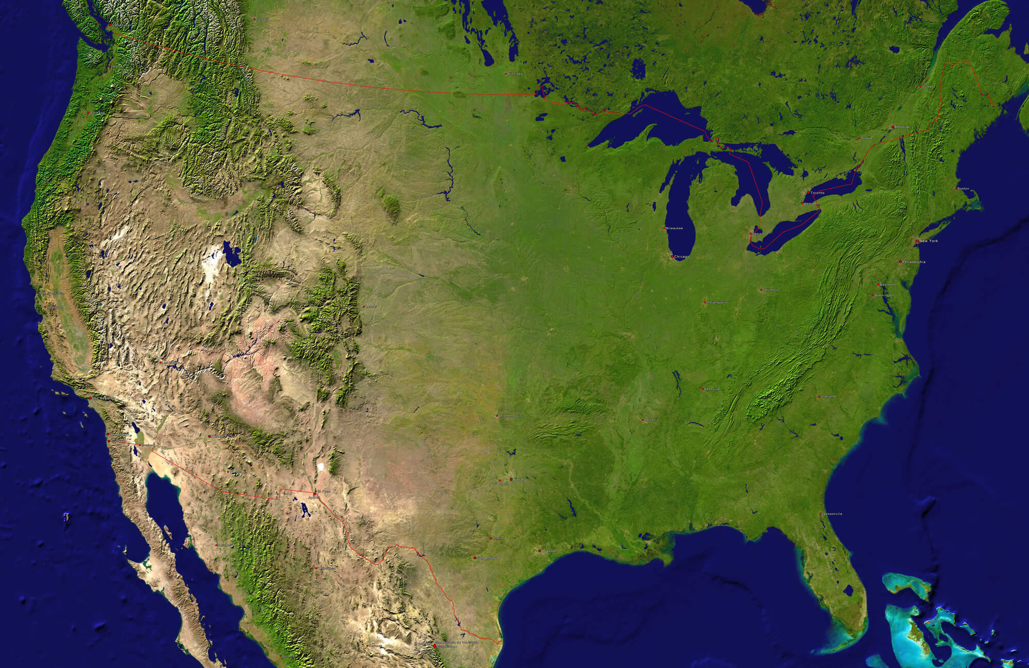
A satellite map of USA, Utah and neighboring countries with the main cities.
Map of Utah, 1900
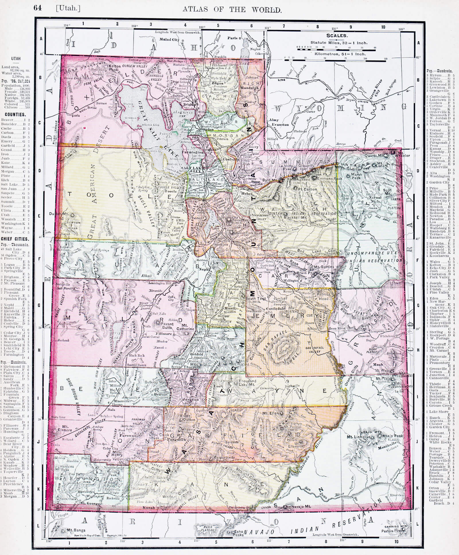
A map of Utah, USA from Spofford’s Atlas of the World, printed in the United States in 1900.
Salt Lake City Map, Utah
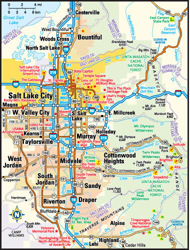
Salt Lake City, Utah area map, United States.
Where is Utah in the US?
Show Google map, satellite map, where is the country located.
Get direction by driving, walking, bicycling, public transportaion and travel with street view.
Utah Google Map
Utah Maps and Photos
- Please Click for more Utah Map
- Please Click for more Info About Map of Utah
- Please Click for more About Utah
- Please Click for more Utah Photos
- Advertisement -