A collection of North Carolina Maps; View a variety of North Carolina physical, united states political map, administrative, relief map, North Carolina satellite image, higly detalied maps, blank map, North Carolina USA and earth map, North Carolina’s regions, topography, cities, road, United States of America direction maps and US atlas.
Color Map of North Carolina

Vector color map of North Carolina state, USA.
North Carolina Map 1880
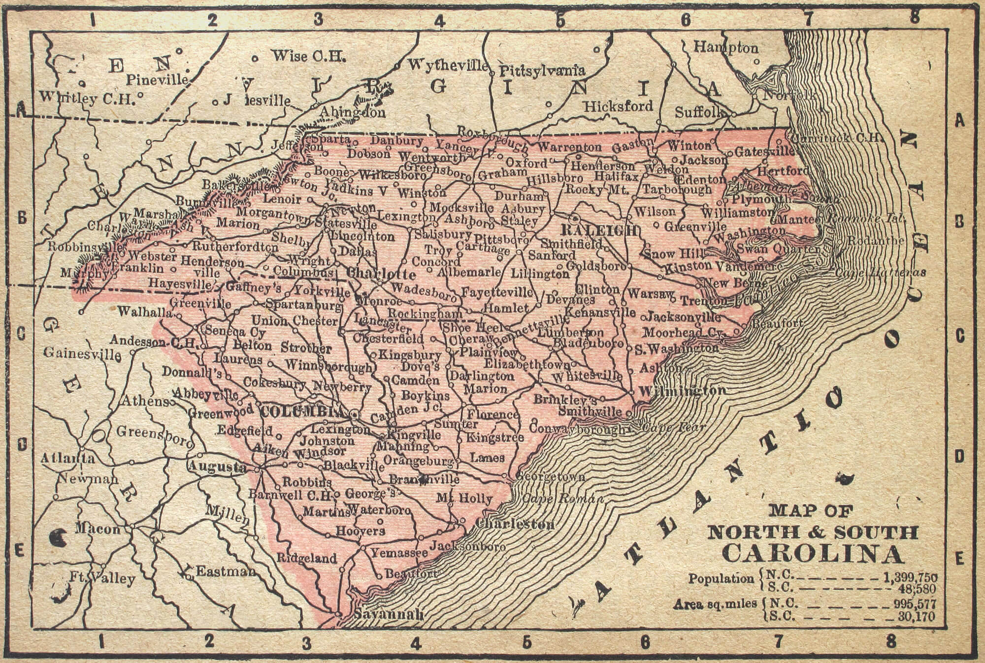
North Carolina and South Carolina, circa 1880. See the entire map collection.
Geographic Map of North Carolina
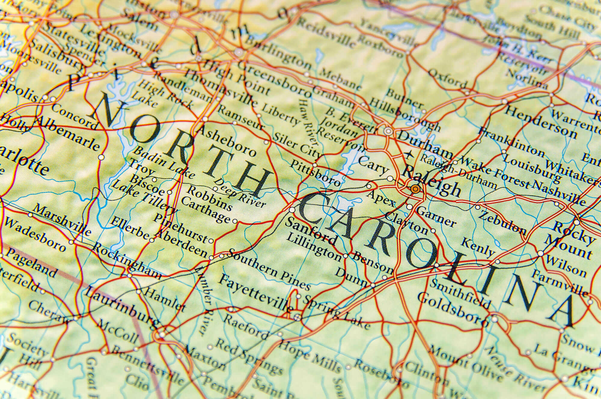
Geographic map of North Carolina close Raleigh.
North Carolina State Map
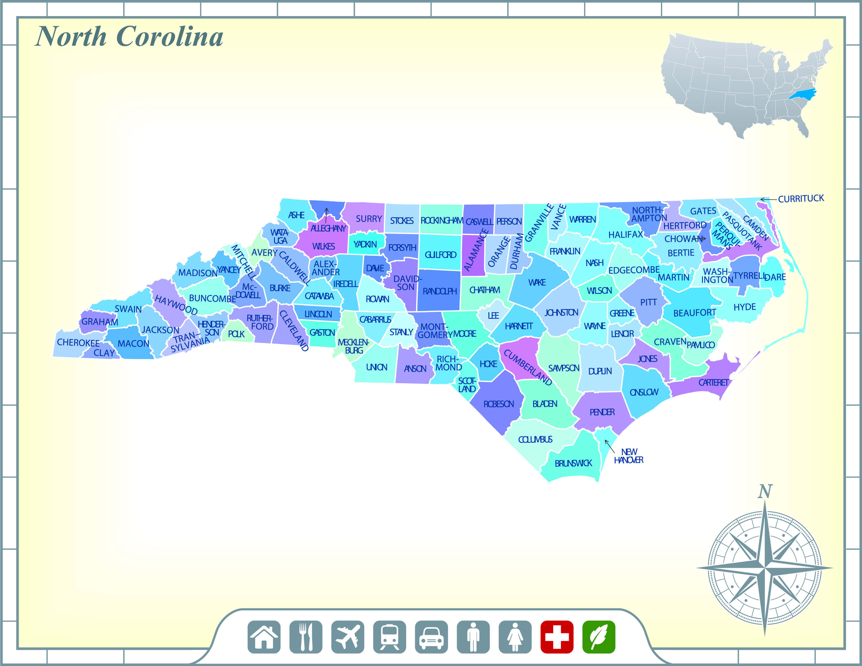
North Carolina State Map with Community Assistance and Activates.
Detailed Map of North Carolina

A large and detailed map of the State of North Carolina with all counties and main cities.
North Carolina Blank Map
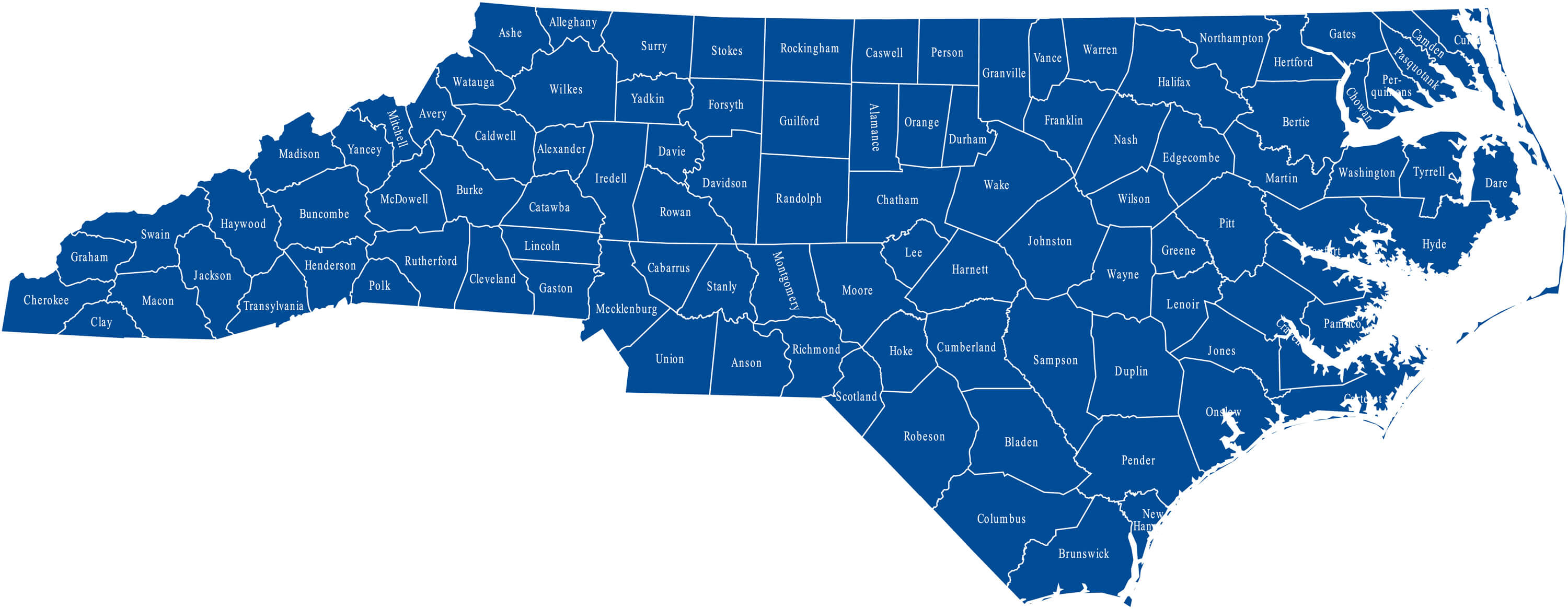
North Carolina map with counties border and main cities.
North Carolina State Road Map
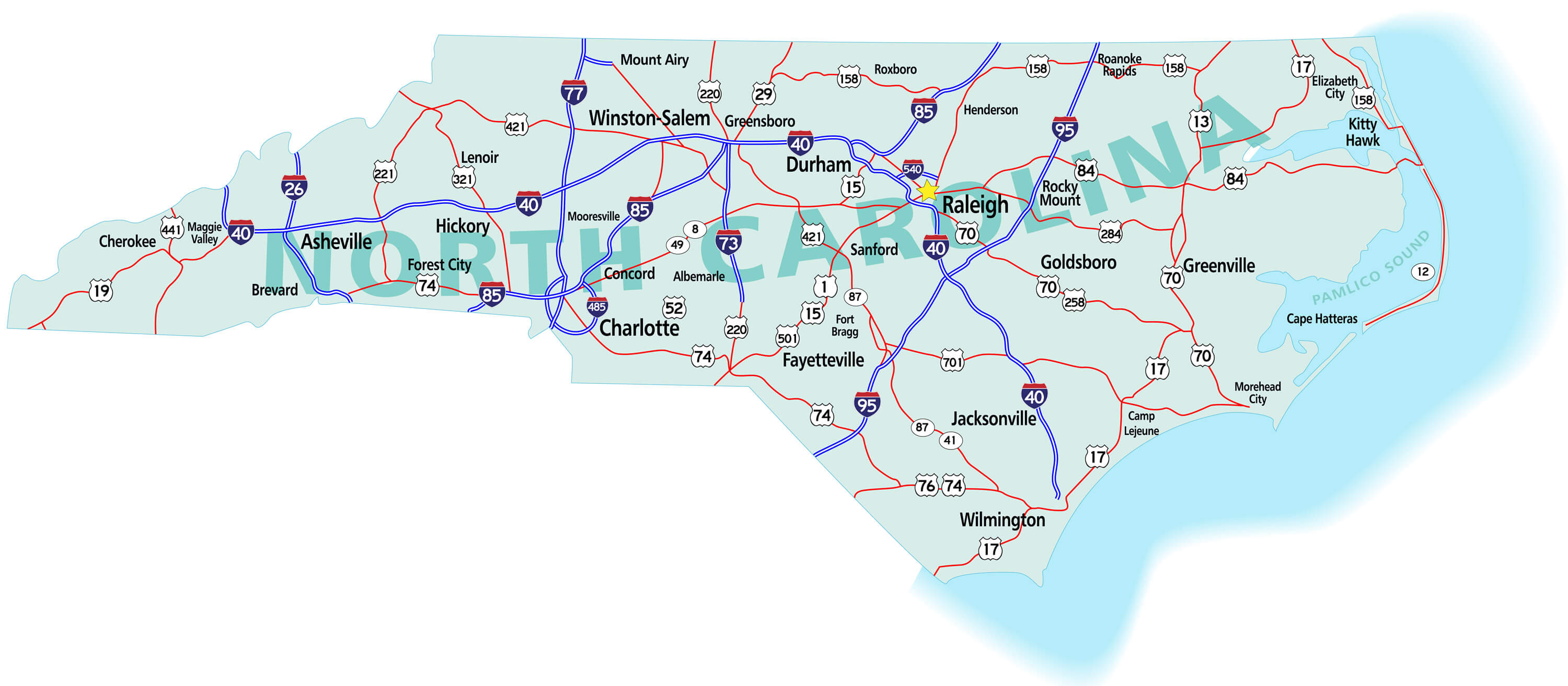
North Carolina state road map with Interstates, U.S. Highways and state roads.
North Carolina Road Map
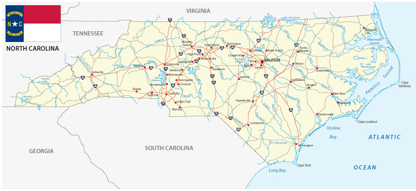
North carolina road map with flag, rivers and interstates.
Where is North Carolina in the US?
Show Google map, satellite map, where is the country located.
Get direction by driving, walking, bicycling, public transportaion and travel with street view.
North Carolina Google Map
North Carolina Maps and Photos
- Please Click for more North Carolina Map
- Please Click for more Info About Map of North Carolina
- Please Click for more North Carolina Photos